Kenshot Hill

Hill, Mountain in Kincardineshire

Scotland

Kenshot Hill

Ordnance Survey Cut Mark This mark can be found on the roadside boundary wall of Anniston.
The recorded details give a height of 119.4207 metres above sea level.
For more detail see : <span class="nowrap"><a title="https://www.bench-marks.org.uk/bm162231" rel="nofollow ugc noopener" href="https://www.bench-marks.org.uk/bm162231">Link</a><img style="margin-left:2px;" alt="External link" title="External link - shift click to open in new window" src="https://s1.geograph.org.uk/img/external.png" width="10" height="10"/></span>
Ordnance Survey Cut Mark Credit: Peter Wood

Kenshot Hill is a prominent landmark located in the region of Kincardineshire in Scotland. Rising to an elevation of approximately 315 meters (1,033 feet), it is classified as a hill or mountain depending on the categorization criteria. The hill is situated near the village of Fetteresso and is a notable feature of the surrounding landscape.

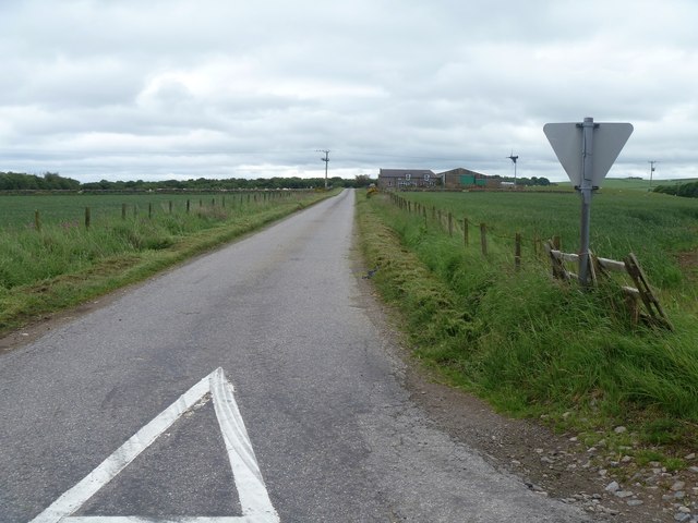
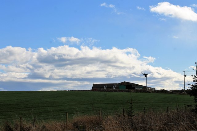
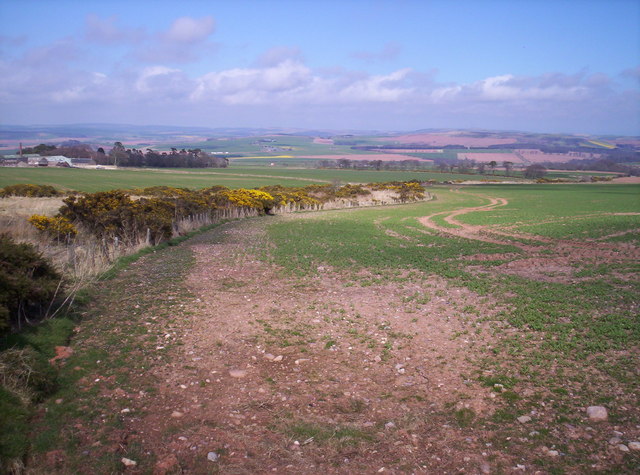
Kenshot Hill offers stunning panoramic views of the surrounding countryside, making it a popular destination for outdoor enthusiasts and nature lovers. On a clear day, visitors can enjoy breath-taking vistas that stretch from the rolling hills of Kincardineshire to the North Sea coastline.

The hill is covered in a mix of vegetation, including grasses, heather, and scattered trees, which adds to its scenic beauty. Additionally, the area is rich in wildlife, providing opportunities for birdwatching and nature photography.

Kenshot Hill is also of historical significance, with remnants of old settlements and archaeological sites found in its vicinity. The hill has been inhabited for centuries, and the remains of ancient structures and artifacts offer glimpses into the area's past. These historical features contribute to its appeal for those interested in exploring the region's heritage.

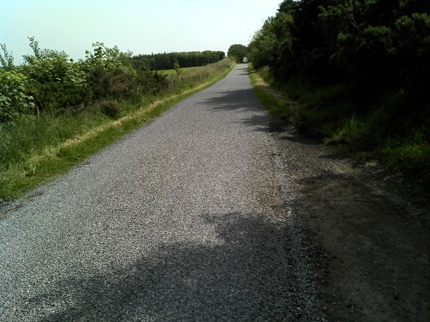
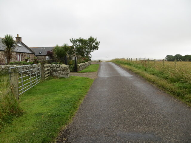
Access to Kenshot Hill is facilitated by a network of trails and paths that allow visitors to ascend to its summit. These routes vary in difficulty, catering to both casual strollers and more experienced hikers.

If you have any feedback on the listing, please let us know in the comments section below.
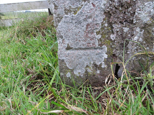
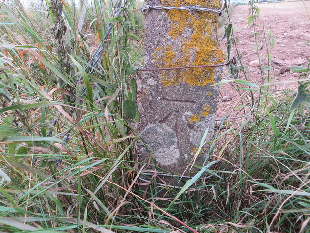
Kenshot Hill Images

Images are sourced within 2km of 56.837273/-2.3591746 or Grid Reference NO7871. Thanks to Geograph Open Source API. All images are credited.

Ordnance Survey Cut Mark This mark can be found on the roadside boundary wall of Anniston.
The recorded details give a height of 119.4207 metres above sea level.
For more detail see : <span class="nowrap"><a title="https://www.bench-marks.org.uk/bm162231" rel="nofollow ugc noopener" href="https://www.bench-marks.org.uk/bm162231">Link</a><img style="margin-left:2px;" alt="External link" title="External link - shift click to open in new window" src="https://s1.geograph.org.uk/img/external.png" width="10" height="10"/></span>
Ordnance Survey Cut Mark
This mark can be found on the roadside boundary wall of Anniston. The recorded details give a height of 119.4207 metres above sea level. For more detail see : LinkExternal link
Ordnance Survey Cut Mark This mark can be found on the wall of a small brick building at Woodside.
The recorded details give a height of 128.7506 metres above sea level.
For more detail see : <span class="nowrap"><a title="https://www.bench-marks.org.uk/bm162436" rel="nofollow ugc noopener" href="https://www.bench-marks.org.uk/bm162436">Link</a><img style="margin-left:2px;" alt="External link" title="External link - shift click to open in new window" src="https://s1.geograph.org.uk/img/external.png" width="10" height="10"/></span>
Ordnance Survey Cut Mark
This mark can be found on the wall of a small brick building at Woodside. The recorded details give a height of 128.7506 metres above sea level. For more detail see : LinkExternal link
Ordnance Survey Cut Mark This mark can be found on a roadside concrete fence post.
The recorded details give a height of 117.5705 metres above sea level. As the fence post has at some time been side swiped the height figure is now historical.
For more detail see : <span class="nowrap"><a title="https://www.bench-marks.org.uk/bm162445" rel="nofollow ugc noopener" href="https://www.bench-marks.org.uk/bm162445">Link</a><img style="margin-left:2px;" alt="External link" title="External link - shift click to open in new window" src="https://s1.geograph.org.uk/img/external.png" width="10" height="10"/></span>
Ordnance Survey Cut Mark
This mark can be found on a roadside concrete fence post. The recorded details give a height of 117.5705 metres above sea level. As the fence post has at some time been side swiped the height figure is now historical. For more detail see : LinkExternal link
Entering the woodland surrounding Banff Burn Photographer is standing on the roadway verge.
Entering the woodland surrounding Banff Burn
Photographer is standing on the roadway verge.
Copse by Temple Hill Near Anniston looking to the copse by Temple Hill
Copse by Temple Hill
Near Anniston looking to the copse by Temple Hill
The road to Haremuir Anniston Farm is seen on the right of the road.
The road to Haremuir
Anniston Farm is seen on the right of the road.
Anniston Farm Anniston on the slopes of Temple Hill.
Anniston Farm
Anniston on the slopes of Temple Hill.
Grazing horse Skewbald horse, grazing in a field near Anniston.
Grazing horse
Skewbald horse, grazing in a field near Anniston.
Minor road at Anniston Farm Looking north-eastward.
Minor road at Anniston Farm
Looking north-eastward.
Fields Brawleymuir and Forgie farms in the background
Fields
Brawleymuir and Forgie farms in the background
Kenshot Hill There has been a lot of young trees planted in this area recently as you can see in the photo.
Kenshot Hill
There has been a lot of young trees planted in this area recently as you can see in the photo.
Radio Mast on Kenshot Hill
Field with Gorse Bushes in Bloom Craighill in the distance
Field with Gorse Bushes in Bloom
Craighill in the distance
Long Straight Road Heading East The farm on the right is Brownieleys.
Long Straight Road Heading East
The farm on the right is Brownieleys.
Show me another place!

Kenshot Hill is located at Grid Ref: NO7871 (Lat: 56.837273, Lng: -2.3591746)

Unitary Authority: Aberdeenshire

Police Authority: North East

Also known as: King's Seat Hill

What 3 Words

///smiled.stockpile.minivans. Near Inverbervie, Aberdeenshire

Related Wikis

Benholm

Benholm is a small settlement in Aberdeenshire, Scotland, UK. It is now a conservation area and is home to Benholm Mill. The A92 passes the eastern edge...

Arbuthnott Parish Kirk

Arbuthnott Parish Kirk is a church in Arbuthnott, Aberdeenshire, Scotland. Now a Category A listed building, it was built in at least the 13th century...

Benholm Mill

Benholm Mill in Kincardineshire, Scotland, is a restored and fully working water-powered meal mill. It is sited in ancient woodland near Johnshaven (13...

Allardice Castle

Allardice Castle (also spelled Allardyce) is a sixteenth-century manor house in Kincardineshire, Scotland. == Location == It is approximately 1.5 kilometres...

Nearby Amenities

Located within 500m of 56.837273,-2.3591746
Kenshot Hill
Alt Name: King's Seat Hill
Ele: 200
Natural: peak
Lat/Long: 56.8367837/-2.3588617
Power: pole
Lat/Long: 56.8332555/-2.361146
Power: pole
Lat/Long: 56.8339181/-2.3607645
Power: pole
Lat/Long: 56.8345988/-2.3603719
Power: pole
Lat/Long: 56.8352491/-2.3599993
Power: pole
Lat/Long: 56.8358473/-2.3596644
Power: pole
Lat/Long: 56.8364309/-2.360159
Power: pole
Lat/Long: 56.8357078/-2.358531
Power: pole
Lat/Long: 56.835561/-2.357422
Power: pole
Lat/Long: 56.8354154/-2.3562597
Power: pole
Lat/Long: 56.835254/-2.3550842
Power: pole
Lat/Long: 56.8351144/-2.3538776
Power: pole
Lat/Long: 56.8349567/-2.3526754
Power: pole
Lat/Long: 56.8369957/-2.3606414
Power: pole
Lat/Long: 56.8375623/-2.3611316
Power: pole
Lat/Long: 56.8380974/-2.3615863
Power: pole
Lat/Long: 56.8386652/-2.3620786
Power: pole
Lat/Long: 56.8392645/-2.3626087
Power: pole
Lat/Long: 56.8396248/-2.3638996
Generator Method: wind_turbine
Generator Source: wind
Generator Type: horizontal_axis
Power: generator
Lat/Long: 56.8334976/-2.3558324
The data included in this document is from www.openstreetmap.org. The data is made available under ODbL.

Have you been to Kenshot Hill?

Leave your review of Kenshot Hill below (or comments, questions and feedback).