King's Seat Hill

Hill, Mountain in Kincardineshire

Scotland

King's Seat Hill

Entering the woodland surrounding Banff Burn Photographer is standing on the roadway verge.
Entering the woodland surrounding Banff Burn Credit: C Michael Hogan

King's Seat Hill, located in Kincardineshire, Scotland, is a prominent hill that offers stunning panoramic views of the surrounding area. Standing at an elevation of 377 meters (1,237 feet), it is a popular destination for hikers, nature enthusiasts, and photographers.

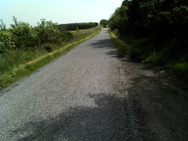
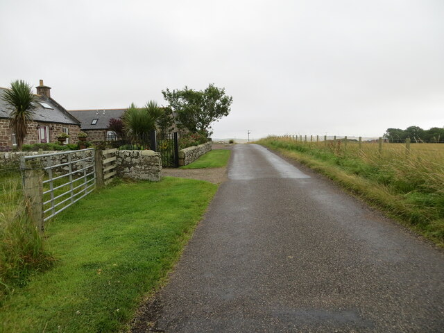
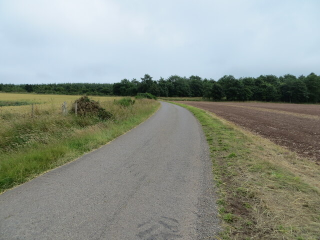
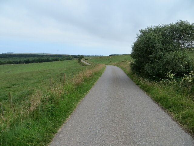
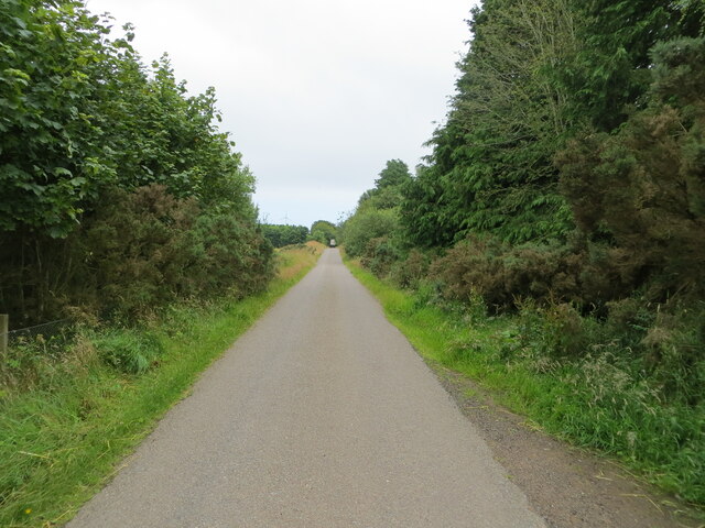
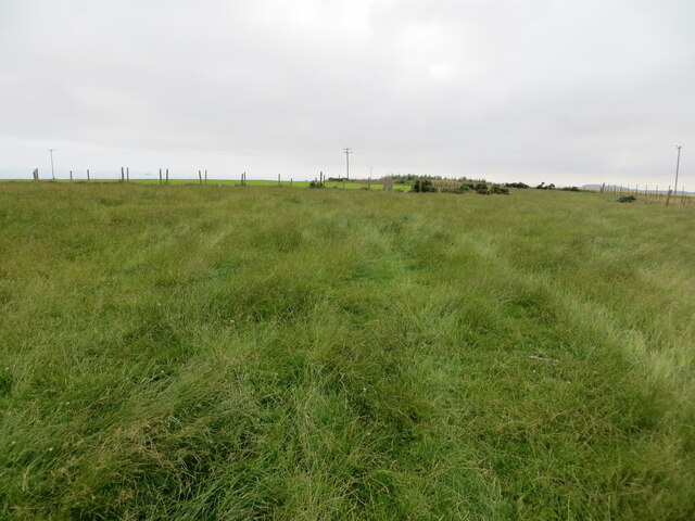
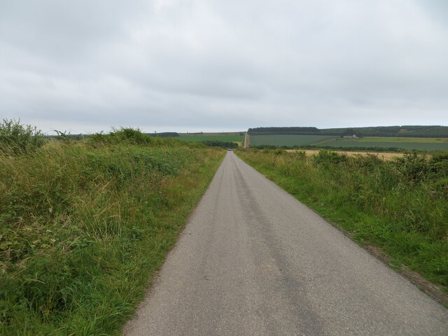
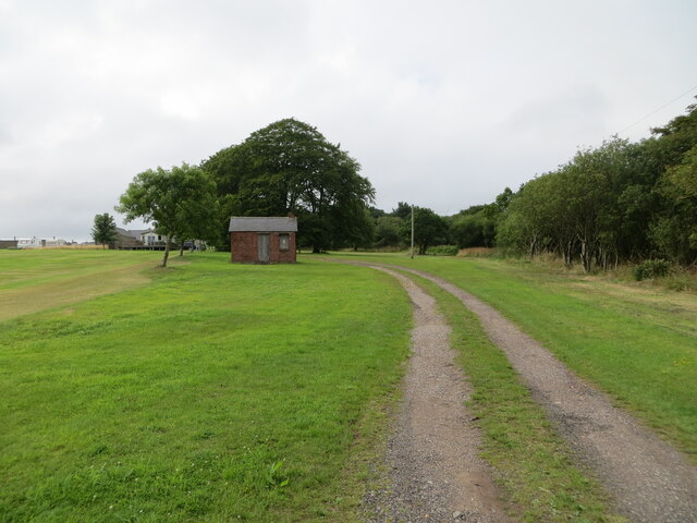
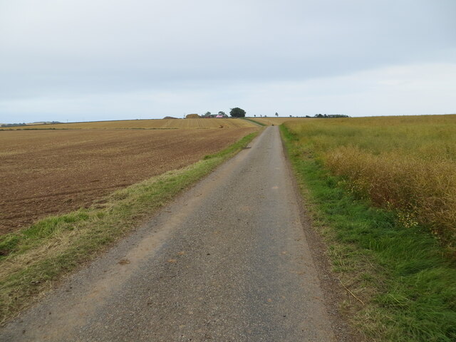
The hill is easily accessible, located just a few miles north of the town of Laurencekirk. It is part of the Cairngorms National Park, known for its rugged landscapes and diverse wildlife. King's Seat Hill is made up of a mixture of heather moorland, grassy slopes, and rocky outcrops, providing a varied and picturesque terrain for visitors to explore.

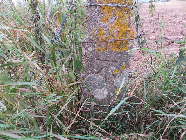
At the summit, a trig point marks the highest point of the hill, offering 360-degree views of the surrounding countryside. On clear days, the vistas stretch for miles, revealing the patchwork of fields, woodlands, and distant hills that make up the Kincardineshire landscape. The nearby Mearns Coastal Trail can also be seen, snaking its way along the coastline.

The hill is home to a rich array of flora and fauna. Heather, bilberry, and blaeberry can be found on its slopes, attracting a variety of insect species. Birdwatchers will be delighted to spot buzzards, kestrels, and other raptors soaring above, while the more observant may even catch a glimpse of red deer or mountain hares in the vicinity.

Overall, King's Seat Hill is a captivating destination for those seeking a taste of Scotland's natural beauty. Its accessibility, breathtaking views, and diverse wildlife make it a must-visit location for outdoor enthusiasts and those seeking tranquility in nature.

If you have any feedback on the listing, please let us know in the comments section below.

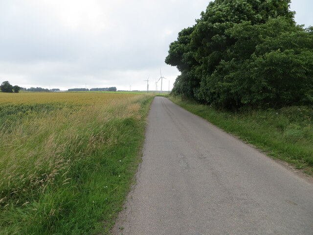
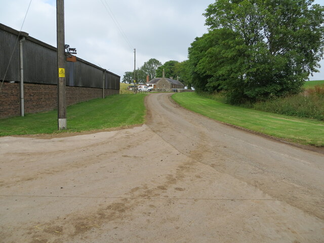
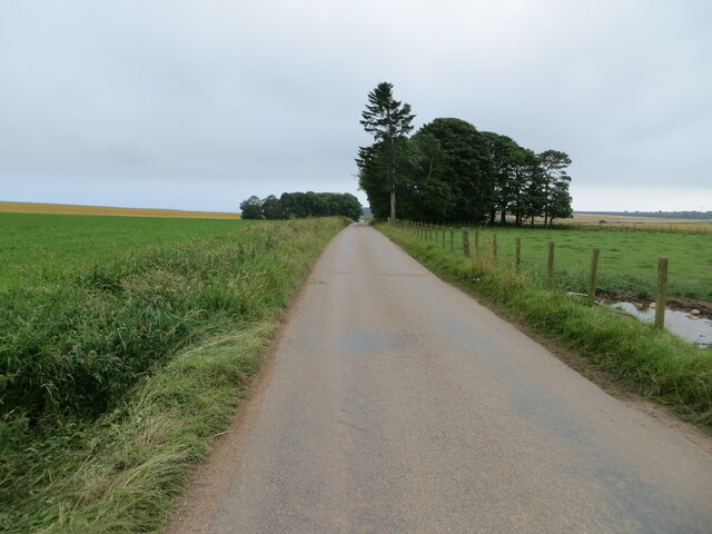
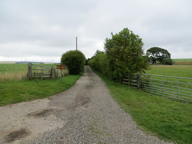
King's Seat Hill Images

Images are sourced within 2km of 56.837273/-2.3591746 or Grid Reference NO7871. Thanks to Geograph Open Source API. All images are credited.

Entering the woodland surrounding Banff Burn Photographer is standing on the roadway verge.
Entering the woodland surrounding Banff Burn
Photographer is standing on the roadway verge.
Minor road at Anniston Farm Looking north-eastward.
Minor road at Anniston Farm
Looking north-eastward.
Ordnance Survey Cut Mark This mark can be found on the roadside boundary wall of Anniston.
The recorded details give a height of 119.4207 metres above sea level.
For more detail see : <span class="nowrap"><a title="https://www.bench-marks.org.uk/bm162231" rel="nofollow ugc noopener" href="https://www.bench-marks.org.uk/bm162231">Link</a><img style="margin-left:2px;" alt="External link" title="External link - shift click to open in new window" src="https://s1.geograph.org.uk/img/external.png" width="10" height="10"/></span>
Ordnance Survey Cut Mark
This mark can be found on the roadside boundary wall of Anniston. The recorded details give a height of 119.4207 metres above sea level. For more detail see : LinkExternal link
Minor road approaching Banff Wood Looking south-eastward.
Minor road approaching Banff Wood
Looking south-eastward.
Minor road near to Banff Looking south-eastward.
Minor road near to Banff
Looking south-eastward.
Tree enclosed minor road near Thief Slack Looking south-eastward.
Tree enclosed minor road near Thief Slack
Looking south-eastward.
Grassland on Kenshot Hill Looking south-westward to the Triangulation Pillar. Also named King's Seat Hill.
Grassland on Kenshot Hill
Looking south-westward to the Triangulation Pillar. Also named King's Seat Hill.
Minor road at Jack's Corse Looking westward.
Minor road at Jack's Corse
Looking westward.
Minor road heading towards Sheriff's Kettle and Brownieleys Looking eastward.
Minor road heading towards Sheriff's Kettle and Brownieleys
Looking eastward.
Minor road near to Easter Tulloch Looking south-westward.
Minor road near to Easter Tulloch
Looking south-westward.
Road passing Easter Tulloch Looking north-eastward.
Road passing Easter Tulloch
Looking north-eastward.
Road between Easter and Nether Tulloch Looking south-eastward.
Road between Easter and Nether Tulloch
Looking south-eastward.
Hedge enclosed track giving access to Brawliemuir Farm Looking north-westward. Spelling as per farm sign.
Hedge enclosed track giving access to Brawliemuir Farm
Looking north-westward. Spelling as per farm sign.
Track giving access to Woodside of Benholm Looking north-westward.
Track giving access to Woodside of Benholm
Looking north-westward.
Minor road between East Hairmuir and Anniston Looking north-eastward.
Minor road between East Hairmuir and Anniston
Looking north-eastward.
Minor road heading towards Tullo' of Benholm Looking south-eastward.
Minor road heading towards Tullo' of Benholm
Looking south-eastward.
Ordnance Survey Cut Mark This mark can be found on the wall of a small brick building at Woodside.
The recorded details give a height of 128.7506 metres above sea level.
For more detail see : <span class="nowrap"><a title="https://www.bench-marks.org.uk/bm162436" rel="nofollow ugc noopener" href="https://www.bench-marks.org.uk/bm162436">Link</a><img style="margin-left:2px;" alt="External link" title="External link - shift click to open in new window" src="https://s1.geograph.org.uk/img/external.png" width="10" height="10"/></span>
Ordnance Survey Cut Mark
This mark can be found on the wall of a small brick building at Woodside. The recorded details give a height of 128.7506 metres above sea level. For more detail see : LinkExternal link
Ordnance Survey Cut Mark This mark can be found on a roadside concrete fence post.
The recorded details give a height of 117.5705 metres above sea level. As the fence post has at some time been side swiped the height figure is now historical.
For more detail see : <span class="nowrap"><a title="https://www.bench-marks.org.uk/bm162445" rel="nofollow ugc noopener" href="https://www.bench-marks.org.uk/bm162445">Link</a><img style="margin-left:2px;" alt="External link" title="External link - shift click to open in new window" src="https://s1.geograph.org.uk/img/external.png" width="10" height="10"/></span>
Ordnance Survey Cut Mark
This mark can be found on a roadside concrete fence post. The recorded details give a height of 117.5705 metres above sea level. As the fence post has at some time been side swiped the height figure is now historical. For more detail see : LinkExternal link
Show me another place!

King's Seat Hill is located at Grid Ref: NO7871 (Lat: 56.837273, Lng: -2.3591746)

Unitary Authority: Aberdeenshire

Police Authority: North East

Also known as: Kenshot Hill

What 3 Words

///smiled.stockpile.minivans. Near Inverbervie, Aberdeenshire

Related Wikis

Benholm

Benholm is a small settlement in Aberdeenshire, Scotland, UK. It is now a conservation area and is home to Benholm Mill.The A92 passes the eastern edge...

Arbuthnott Parish Kirk

Arbuthnott Parish Kirk is a church in Arbuthnott, Aberdeenshire, Scotland. Now a Category A listed building, it was built in at least the 13th century...

Benholm Mill

Benholm Mill in Kincardineshire, Scotland, is a restored and fully working water-powered meal mill. It is sited in ancient woodland near Johnshaven (13...

Allardice Castle

Allardice Castle (also spelled Allardyce) is a sixteenth-century manor house in Kincardineshire, Scotland. It is approximately 1.5 kilometres north-west...

Arbuthnott

Arbuthnott (Scottish Gaelic: Obar Bhuadhnait, "mouth of the Buadhnat") is a hamlet and parish in the Howe of the Mearns, a low-lying agricultural district...

Birnie Road Halt railway station

Birnie Road Halt railway station served the settlement of Benholm, Aberdeenshire, Scotland from 1865 to 1966 on the Montrose and Bervie Railway. ��2�...

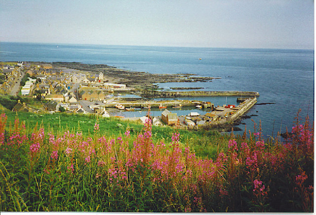
Gourdon, Aberdeenshire

Gourdon () nicknamed Gurdin by the population, is a coastal fishing village in Aberdeenshire, Scotland, south of Inverbervie and north of Johnshaven, with...
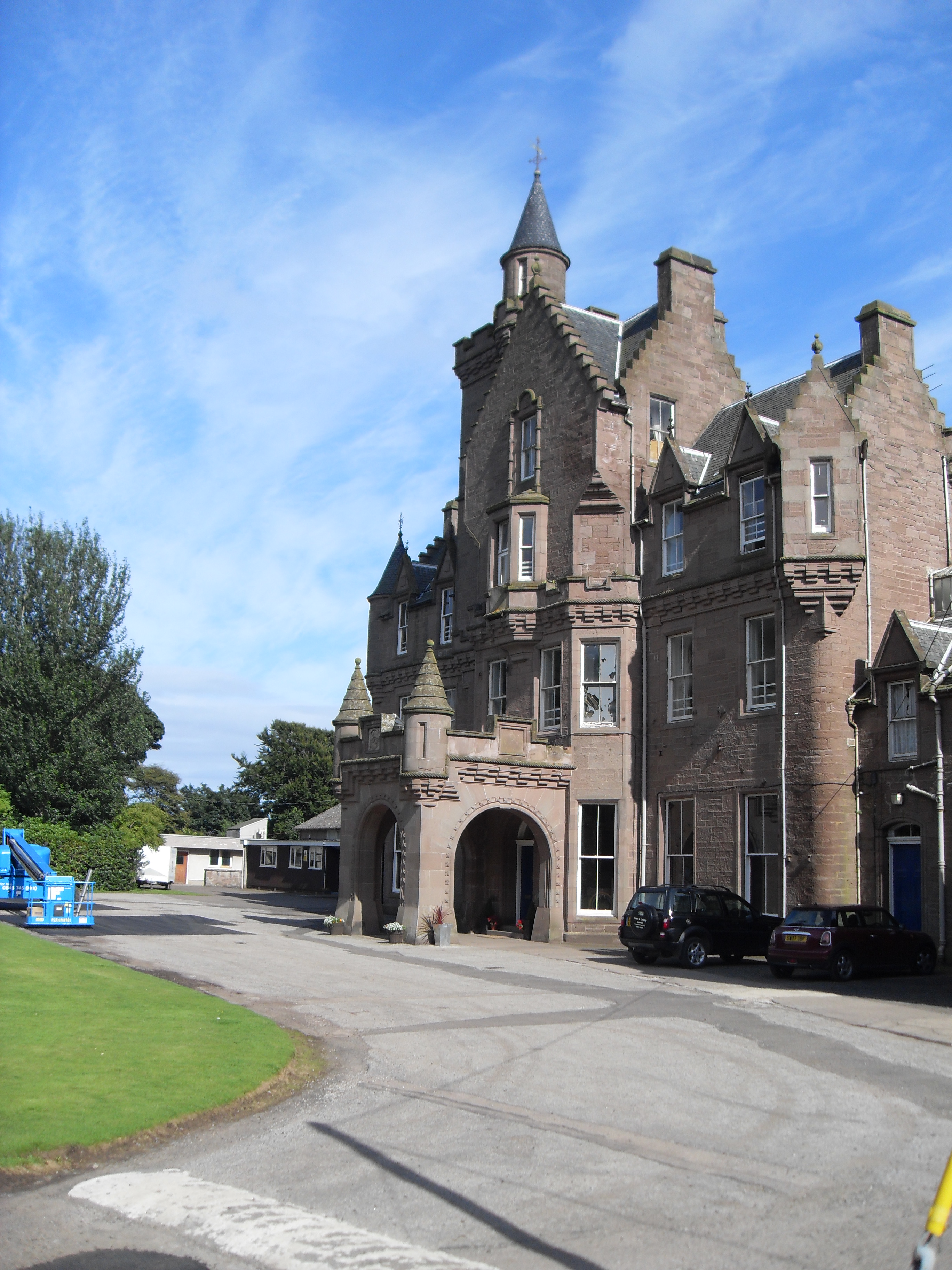
Lathallan School

Lathallan School is a co-educational all-through independent school at Brotherton Castle in Scotland, UK. It also offers outdoor learning programs on its...

Nearby Amenities

Located within 500m of 56.837273,-2.3591746
Kenshot Hill
Alt Name: King's Seat Hill
Ele: 200
Natural: peak
Lat/Long: 56.8367837/-2.3588617
Power: pole
Lat/Long: 56.8332555/-2.361146
Power: pole
Lat/Long: 56.8339181/-2.3607645
Power: pole
Lat/Long: 56.8345988/-2.3603719
Power: pole
Lat/Long: 56.8352491/-2.3599993
Power: pole
Lat/Long: 56.8358473/-2.3596644
Power: pole
Lat/Long: 56.8364309/-2.360159
Power: pole
Lat/Long: 56.8357078/-2.358531
Power: pole
Lat/Long: 56.835561/-2.357422
Power: pole
Lat/Long: 56.8354154/-2.3562597
Power: pole
Lat/Long: 56.835254/-2.3550842
Power: pole
Lat/Long: 56.8351144/-2.3538776
Power: pole
Lat/Long: 56.8349567/-2.3526754
Power: pole
Lat/Long: 56.8369957/-2.3606414
Power: pole
Lat/Long: 56.8375623/-2.3611316
Power: pole
Lat/Long: 56.8380974/-2.3615863
Power: pole
Lat/Long: 56.8386652/-2.3620786
Power: pole
Lat/Long: 56.8392645/-2.3626087
Power: pole
Lat/Long: 56.8396248/-2.3638996
Generator Method: wind_turbine
Generator Source: wind
Generator Type: horizontal_axis
Power: generator
Lat/Long: 56.8334976/-2.3558324
The data included in this document is from www.openstreetmap.org. The data is made available under ODbL.

Have you been to King's Seat Hill?

Leave your review of King's Seat Hill below (or comments, questions and feedback).