Park Pale
Heritage Site in Wiltshire
England
Park Pale
Park Pale is a historic heritage site located in the county of Wiltshire, England. It is an ancient earthwork enclosure that dates back to the medieval period, specifically the 13th century. The site is situated near the village of Axford, approximately 7 miles west of Marlborough.
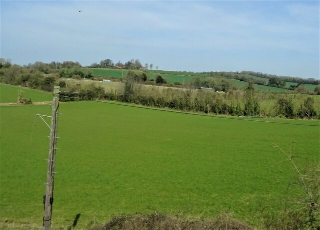
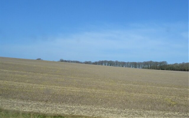
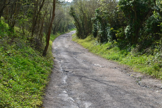
The most prominent feature of Park Pale is its large circular earthwork, which spans approximately 800 meters in diameter. The earthwork consists of a deep ditch and a high bank, forming an impressive defensive boundary. The site was originally constructed as a hunting park enclosure to protect the game animals, such as deer, within its boundaries.
The earthwork at Park Pale is believed to have been built by the Bishop of Salisbury, who owned the surrounding land during the medieval period. It served as a symbol of his wealth and power, as well as a means of controlling access to the park. The site also provided a recreational space for the bishop and his guests to engage in hunting activities.
Today, Park Pale stands as a significant heritage site, attracting visitors who are interested in the history and archaeology of the area. Although the interior of the earthwork is now used for agricultural purposes, the outer banks and ditches remain well-preserved. The site offers a unique opportunity to explore and appreciate the medieval landscape and the defensive techniques employed during that era.
If you have any feedback on the listing, please let us know in the comments section below.
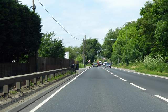
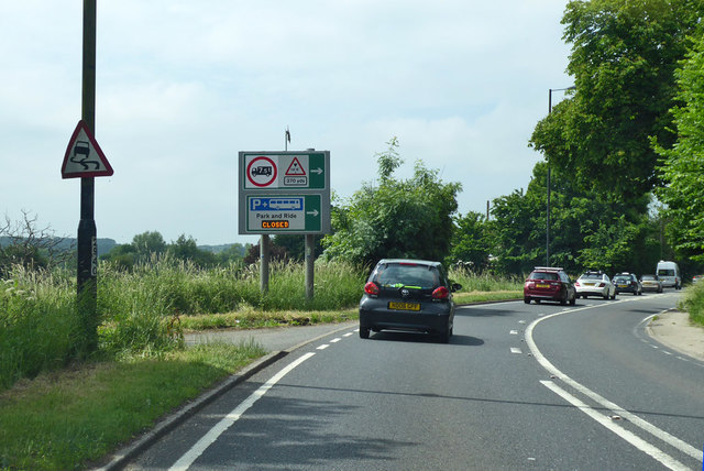
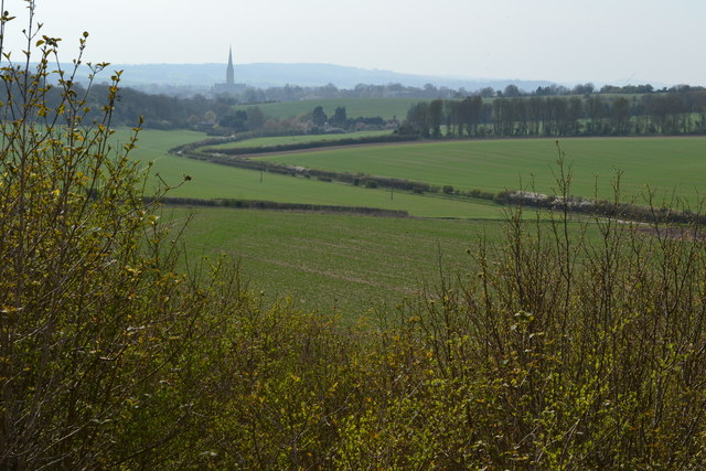
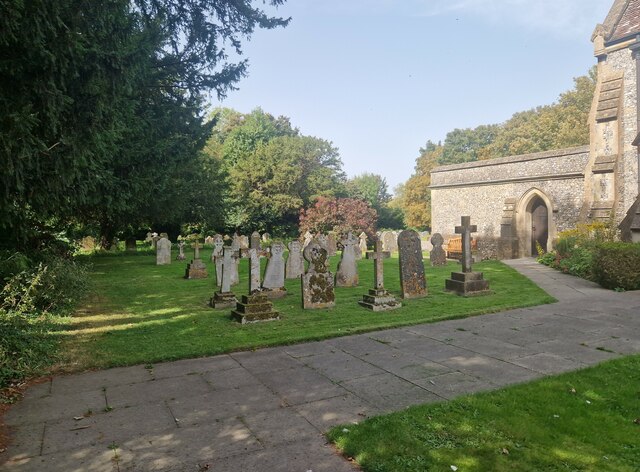
Park Pale Images
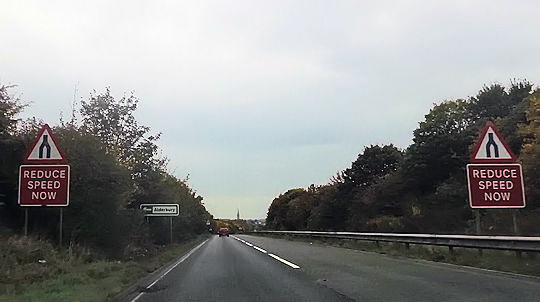
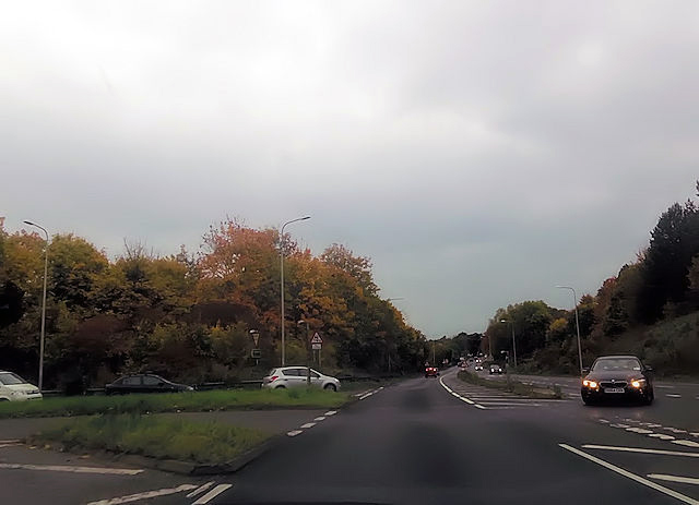
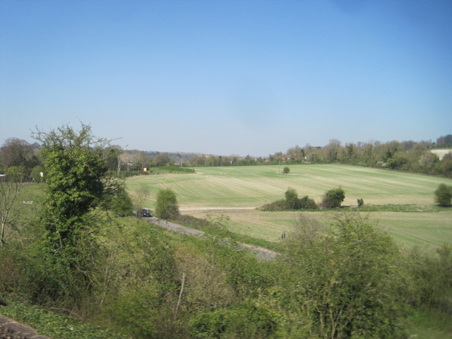
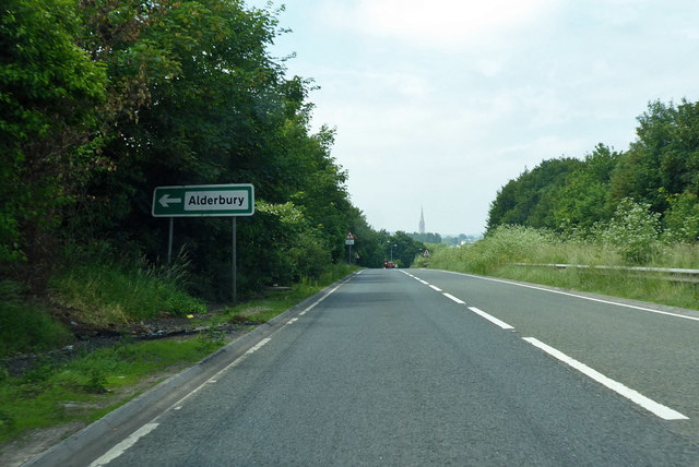
Images are sourced within 2km of 51.073/-1.75 or Grid Reference SU1730. Thanks to Geograph Open Source API. All images are credited.
Park Pale is located at Grid Ref: SU1730 (Lat: 51.073, Lng: -1.75)
Unitary Authority: Wiltshire
Police Authority: Wiltshire
What 3 Words
///outsiders.pushover.after. Near Salisbury, Wiltshire
Nearby Locations
Related Wikis

Clarendon Palace
Clarendon Palace is a medieval ruin 2+1⁄4 miles (3.6 km) east of Salisbury in Wiltshire, England. The palace was a royal residence during the Middle Ages...

Cockey Down
Cockey Down (grid reference SU170317) is a 15.2 hectare biological Site of Special Scientific Interest in Wiltshire, notified in 1971. The site is managed...
Laverstock ware
Laverstock ware is a type of pottery produced from the 11th to the 14th centuries near the settlement of Laverstock in Wiltshire. The products were distributed...

St Edmund's Girls' School
St Edmund's Girls' School was an all-girls secondary school located in Laverstock, near Salisbury, south Wiltshire, England. In 2022 the school formally...
Nearby Amenities
Located within 500m of 51.073,-1.75Have you been to Park Pale?
Leave your review of Park Pale below (or comments, questions and feedback).