Ranger's Belts
Wood, Forest in Wiltshire
England
Ranger's Belts
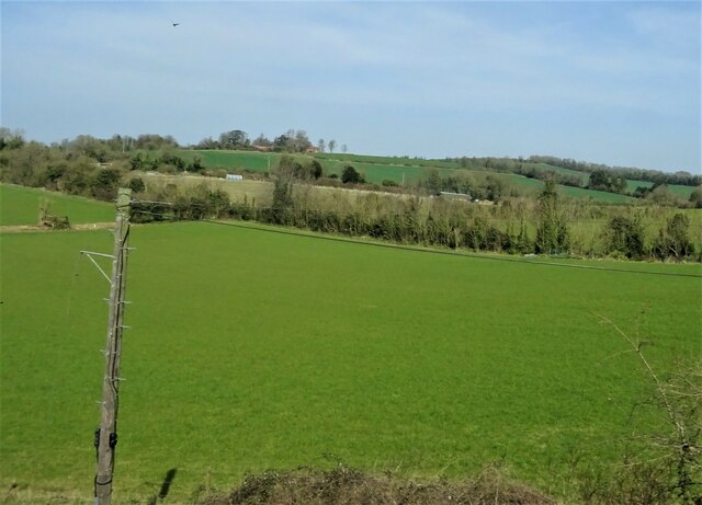
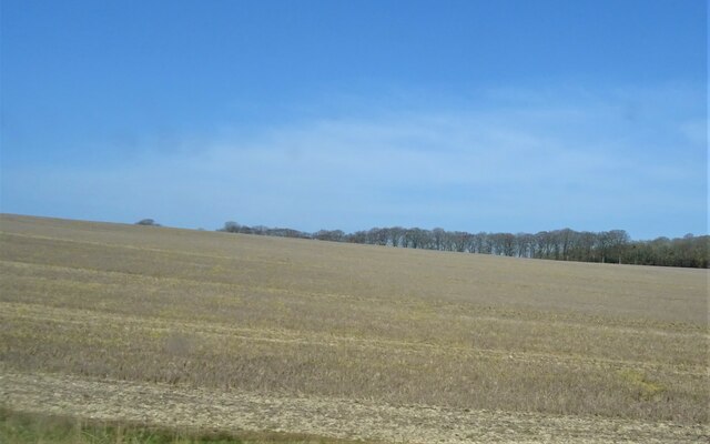
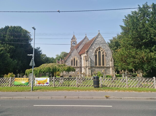
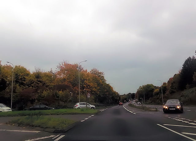
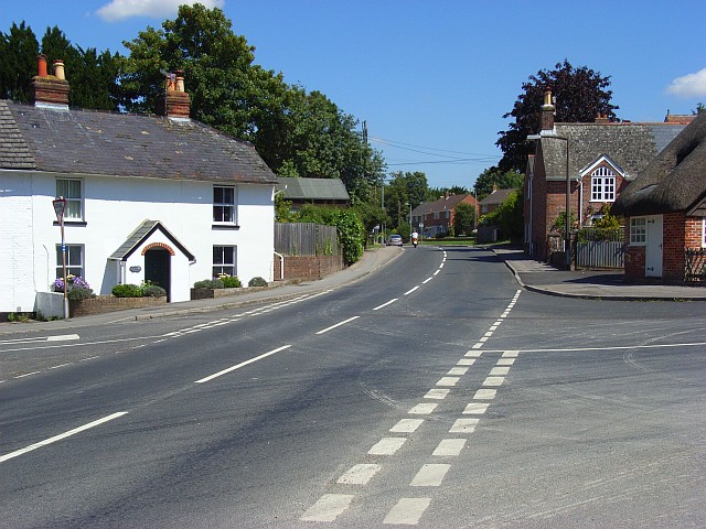
Ranger's Belts, located in Wiltshire, England, is a stunning woodland area known for its natural beauty and rich history. Spanning approximately 200 acres, this forested region offers a peaceful retreat for nature enthusiasts, hikers, and history buffs alike.
The woodland is dominated by a diverse mix of deciduous and evergreen trees, including oak, beech, and pine, creating a picturesque landscape throughout the year. The dense foliage provides a haven for a variety of wildlife, making it a popular spot for birdwatching and wildlife observation. Visitors can also explore the meandering pathways that wind through the forest, allowing for leisurely walks and a chance to immerse themselves in the tranquility of nature.
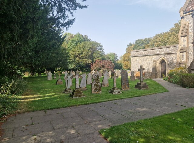
One notable feature of Ranger's Belts is the presence of ancient earthworks, dating back to the Iron Age and Roman times. These historical remnants, including hill forts and burial mounds, provide a glimpse into the area's past and offer a unique opportunity for archaeological exploration.
The forest is well-maintained, with designated picnic areas and benches scattered throughout, allowing visitors to pause and appreciate the surroundings. Additionally, there are several well-marked trails and information boards that provide insights into the local flora and fauna, as well as the historical significance of the area.
Ranger's Belts is easily accessible, with ample parking facilities and nearby amenities. Whether one seeks a peaceful stroll surrounded by nature, a chance to spot rare wildlife, or an opportunity to delve into the region's history, this woodland in Wiltshire offers a delightful experience for all who visit.
If you have any feedback on the listing, please let us know in the comments section below.
Ranger's Belts Images
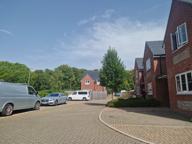
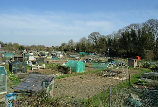
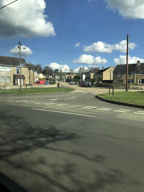
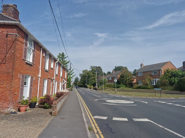
Images are sourced within 2km of 51.072304/-1.7553963 or Grid Reference SU1730. Thanks to Geograph Open Source API. All images are credited.


Ranger's Belts is located at Grid Ref: SU1730 (Lat: 51.072304, Lng: -1.7553963)
Unitary Authority: Wiltshire
Police Authority: Wiltshire
What 3 Words
///amount.ducks.decide. Near Salisbury, Wiltshire
Nearby Locations
Related Wikis

Clarendon Palace
Clarendon Palace is a medieval ruin 2+1⁄4 miles (3.6 km) east of Salisbury in Wiltshire, England. The palace was a royal residence during the Middle Ages...

Laverstock ware
Laverstock ware is a type of pottery produced from the 11th to the 14th centuries near the settlement of Laverstock in Wiltshire, England. The products...
Laverstock
Laverstock is a village and civil parish on the north-east and east outskirts of Salisbury in the ceremonial county of Wiltshire, England. The parish is...
Wyvern St Edmund's
Wyvern St Edmund's is a coeducational secondary school in Laverstock, near Salisbury in the English county of Wiltshire. == History == The school opened...
Nearby Amenities
Located within 500m of 51.072304,-1.7553963Have you been to Ranger's Belts?
Leave your review of Ranger's Belts below (or comments, questions and feedback).