Park Pale

Heritage Site in Somerset Somerset West and Taunton

England

Park Pale

Pitminster: The Queen’s Arms This is one of the earliest recorded mill sites in Somerset. A mill was extant here in 1036 when owned by St Swithun’s Priory, Winchester. A flour mill in 1804, the premises were later converted to a public house. The section nearest the camera looks more like a mill than a pub.
Pitminster: The Queen’s Arms Credit: Martin Bodman

Park Pale is a historic site located in Somerset, England. It is a designated heritage site that holds significant historical and cultural importance. The site consists of an earthwork enclosure, known as a pale, which was constructed during the medieval period. It is believed to have been built in the 12th century and served as a defensive boundary for a deer park.

The pale measures approximately 4.5 kilometers in length and encloses an area of about 800 hectares. It consists of a bank and ditch structure, with a raised earth bank on the inner side and a deep ditch on the outer side. The pale would have acted as a physical barrier, preventing the deer from escaping and protecting them from poaching.

The site is surrounded by beautiful countryside, with rolling hills and scenic views. It is known for its diverse wildlife and rich biodiversity, making it an important area for nature conservation. Visitors to Park Pale can enjoy walking trails that meander through the site, offering a chance to explore the historical earthwork and experience the natural beauty of the surrounding landscape.

Park Pale is also of archaeological interest, with several excavations having taken place over the years. These excavations have revealed evidence of human activity from various periods, including prehistoric and Roman settlements.

Overall, Park Pale in Somerset is a fascinating heritage site that offers a glimpse into the medieval past of the region. Its historical significance, combined with its natural beauty, makes it a popular destination for history enthusiasts, nature lovers, and those seeking a tranquil escape in the countryside.

If you have any feedback on the listing, please let us know in the comments section below.
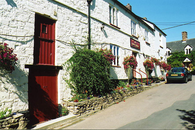
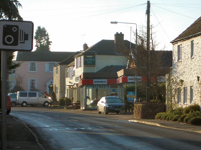
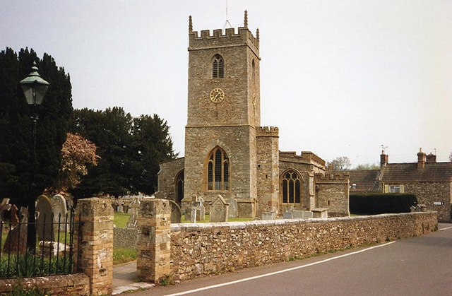
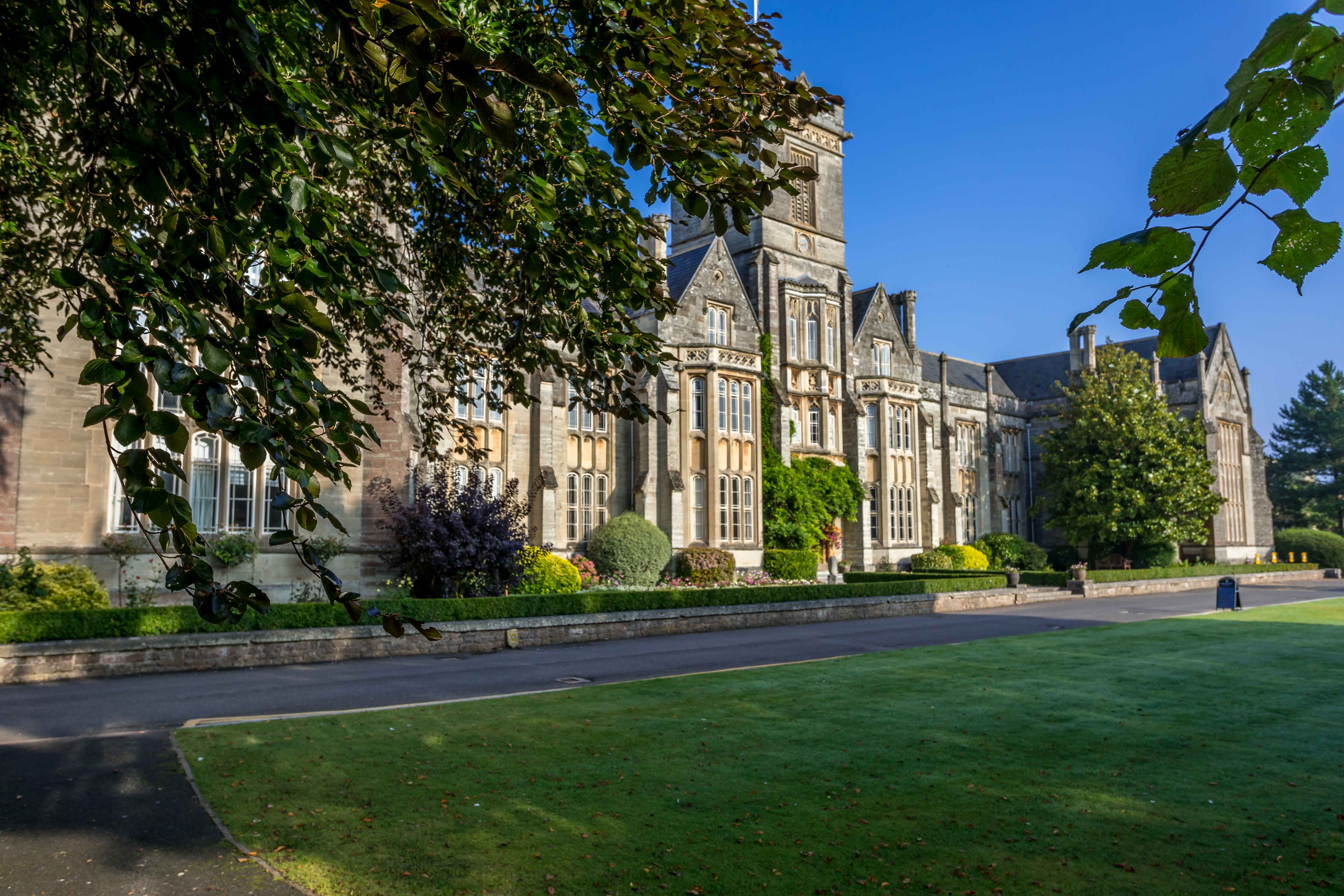
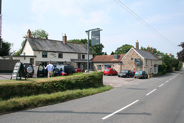
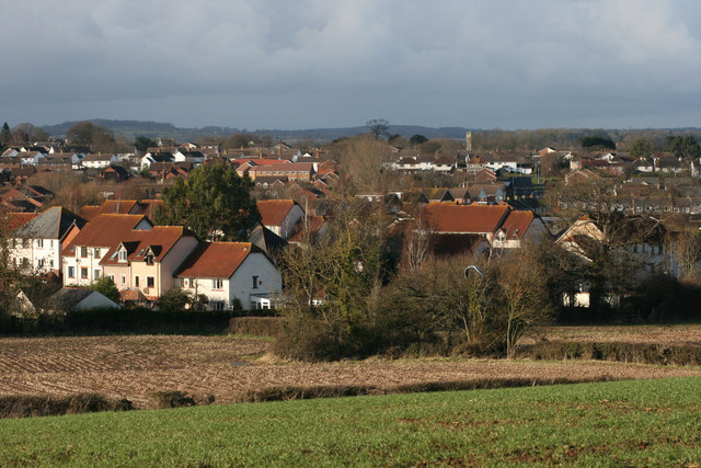
Park Pale Images

Images are sourced within 2km of 50.987/-3.118 or Grid Reference ST2121. Thanks to Geograph Open Source API. All images are credited.

Pitminster: The Queen’s Arms This is one of the earliest recorded mill sites in Somerset. A mill was extant here in 1036 when owned by St Swithun’s Priory, Winchester. A flour mill in 1804, the premises were later converted to a public house. The section nearest the camera looks more like a mill than a pub.
Pitminster: The Queen’s Arms
This is one of the earliest recorded mill sites in Somerset. A mill was extant here in 1036 when owned by St Swithun’s Priory, Winchester. A flour mill in 1804, the premises were later converted to a public house. The section nearest the camera looks more like a mill than a pub.
View East from the Angersleigh road
Channel to Channel (293) The route goes along this footpath going north.
To proceed to the next section of Channel to Channel go to <a title="www.geograph.org.uk/geotrips/982" href="http://www.geograph.org.uk/geotrips/982">Link</a>.
Channel to Channel (293)
The route goes along this footpath going north. To proceed to the next section of Channel to Channel go to Link.
Channel to Channel (294) This is looking ahead through the middle section of a long straight footpath to Poundisford Park.
Channel to Channel (294)
This is looking ahead through the middle section of a long straight footpath to Poundisford Park.
Channel to Channel (295) This is more of the same.
Channel to Channel (295)
This is more of the same.
Chilliswood Farm View from Lipe Hill Lane.
Chilliswood Farm
View from Lipe Hill Lane.
Barton Grange near Corfe Only about one third of the original grange now remains.
Barton Grange near Corfe
Only about one third of the original grange now remains.
Trull: All Saints Church A 13th century west tower with the body of the church dating from the 15th century. It is noted for its wooden pulpit with carvings depicting five saints
Trull: All Saints Church
A 13th century west tower with the body of the church dating from the 15th century. It is noted for its wooden pulpit with carvings depicting five saints
Staplehay Looking south along the Honiton road towards the centre of Staplehay.
Staplehay
Looking south along the Honiton road towards the centre of Staplehay.
The old Independent Chapel, Fullwood Now a private house
The old Independent Chapel, Fullwood
Now a private house
Kibbear Massive tractor activity in this view looking east by north from a footpath. The M5, which cuts diagonally right across this square, can be seen on the right about 700m from the camera. in the distance, Stoke Wood.
Kibbear
Massive tractor activity in this view looking east by north from a footpath. The M5, which cuts diagonally right across this square, can be seen on the right about 700m from the camera. in the distance, Stoke Wood.
Queen's College, Taunton The impressive main building is on Trull Road. The wicker man is probably closely related to the one which stands beside the M5 just north of Taunton. The locally grown withies make Somerset a centre for wicker crafts of all kinds.
Queen's College, Taunton
The impressive main building is on Trull Road. The wicker man is probably closely related to the one which stands beside the M5 just north of Taunton. The locally grown withies make Somerset a centre for wicker crafts of all kinds.
Cider orchard at Haygrass There are several large orchards in this area, reflecting a history of cider-making. This apple orchard is alongside Killams Avenue near Haygrass House.
Cider orchard at Haygrass
There are several large orchards in this area, reflecting a history of cider-making. This apple orchard is alongside Killams Avenue near Haygrass House.
Fosgrove A hamlet in Taunton Deane centred around a farm and small country house, and on a particularly circuitous lane. The view here is from the same lane after it has performed two right-angled bends. In the background is Orchard Wood, an outlier of the Blackdown Hills.
Fosgrove
A hamlet in Taunton Deane centred around a farm and small country house, and on a particularly circuitous lane. The view here is from the same lane after it has performed two right-angled bends. In the background is Orchard Wood, an outlier of the Blackdown Hills.
Path to Cotlake Hill The footpath from Kibbear follows the hedge around this ploughed field on its way to the modest eminence of Cotlake Hill.
Path to Cotlake Hill
The footpath from Kibbear follows the hedge around this ploughed field on its way to the modest eminence of Cotlake Hill.
Cottages at Dipford Dipford consists of a number of farms and houses scattered for a kilometre along Dipford Road, a lane from Trull to Angersleigh. This row of cottages is at the northeast end, opposite Dipford House and beside Gatchell Farm.
Cottages at Dipford
Dipford consists of a number of farms and houses scattered for a kilometre along Dipford Road, a lane from Trull to Angersleigh. This row of cottages is at the northeast end, opposite Dipford House and beside Gatchell Farm.
Wrexon Farmhouse <span class="nowrap"><a title="http://webapp1.somerset.gov.uk/her/details.asp?prn=40985" rel="nofollow ugc noopener" href="http://webapp1.somerset.gov.uk/her/details.asp?prn=40985">Link</a><img style="margin-left:2px;" alt="External link" title="External link - shift click to open in new window" src="https://s1.geograph.org.uk/img/external.png" width="10" height="10"/></span> . A C16 farmhouse, now the home of Orchards Restaurant. The building is little more than 100 metres from the M5, but situated on a country lane between Angersleigh and Trull.
Wrexon Farmhouse
LinkExternal link . A C16 farmhouse, now the home of Orchards Restaurant. The building is little more than 100 metres from the M5, but situated on a country lane between Angersleigh and Trull.
Higher Dipford Farm A C17 farmhouse near the southwestern end of the hamlet of Dipford. <span class="nowrap"><a title="http://webapp1.somerset.gov.uk/her/details.asp?prn=40643" rel="nofollow ugc noopener" href="http://webapp1.somerset.gov.uk/her/details.asp?prn=40643">Link</a><img style="margin-left:2px;" alt="External link" title="External link - shift click to open in new window" src="https://s1.geograph.org.uk/img/external.png" width="10" height="10"/></span>
Higher Dipford Farm
A C17 farmhouse near the southwestern end of the hamlet of Dipford. LinkExternal link
Show me another place!

Park Pale is located at Grid Ref: ST2121 (Lat: 50.987, Lng: -3.118)

Administrative County: Somerset

District: Somerset West and Taunton

Police Authority: Avon and Somerset

What 3 Words

///rifled.doubt.swooning. Near Taunton, Somerset

Related Wikis

Trull

Trull is a village, electoral ward and civil parish in Somerset, England, situated near Taunton. The parish, which includes Dipford, has a population of...

Poundisford Park

Poundisford Park north of Pitminster, Somerset, England is an English country house that typifies progressive housebuilding on the part of the West Country...

Queen's College, Taunton

Queen's College is a co-educational independent school located in Taunton, the county town of Somerset, England. It is a day/boarding school for pupils...

Pitminster

Pitminster is a village and civil parish in Somerset, England, situated 4 miles (6.4 km) south of Taunton. The parish has a population of 956. The parish...

Taunton Deane services

Taunton Deane services is a double sided motorway service station on the M5 motorway near Taunton, England. It is owned by Roadchef. == Location == The...

Taunton Racecourse

Taunton Racecourse is a thoroughbred horse racing venue located in Orchard Portman, two miles south of Taunton, Somerset, England. Opened in 1927, Taunton...

Comeytrowe

Comeytrowe is a south western suburb of Taunton and former civil parish, now in the parish of Taunton in the county of Somerset, England. In 2011 the parish...

Church of St Nicholas, Corfe

The Anglican Church of St Nicholas in Corfe, Somerset, England was built in the Norman period and rebuilt in 1842. It is a Grade II* listed building....

Nearby Amenities

Located within 500m of 50.987,-3.118
Staplehay
Place: hamlet
Lat/Long: 50.9885402/-3.1218381
Give Way
Lat/Long: 50.9867026/-3.1225153
Barrier: stile
Bicycle: no
Foot: yes
Material: wood
Stile: stepover
Lat/Long: 50.9867443/-3.1226752
Give Way
Lat/Long: 50.9885955/-3.1218976
Give Way
Lat/Long: 50.988746/-3.1221717
Give Way
Lat/Long: 50.9870225/-3.1224368
Give Way
Lat/Long: 50.9885654/-3.122826
Give Way
Lat/Long: 50.987422/-3.1196831
Give Way
Lat/Long: 50.9877887/-3.1198596
Give Way
Lat/Long: 50.9886869/-3.120163
Post Box
Operator: Royal Mail
Operator Wikidata: Q638098
Post Box Type: wall
Ref: TA3 7D
Royal Cypher: EIIR
Royal Cypher Wikidata: Q33102113
Lat/Long: 50.9886374/-3.1221976
Public Bookcase
Booth: K6
Covered: booth
Man Made: telephone_box
Public Bookcase Type: phone_box
Lat/Long: 50.9886645/-3.1221892
Power: pole
Lat/Long: 50.9897881/-3.1234525
The data included in this document is from www.openstreetmap.org. The data is made available under ODbL.

Have you been to Park Pale?

Leave your review of Park Pale below (or comments, questions and feedback).