Park Pale

Heritage Site in Herefordshire

England

Park Pale

Sheep in a field at Hampton Charles
Sheep in a field at Hampton Charles Credit: Philip Halling

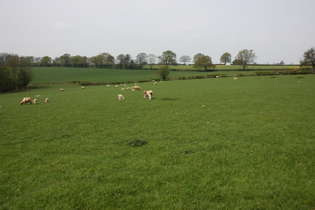
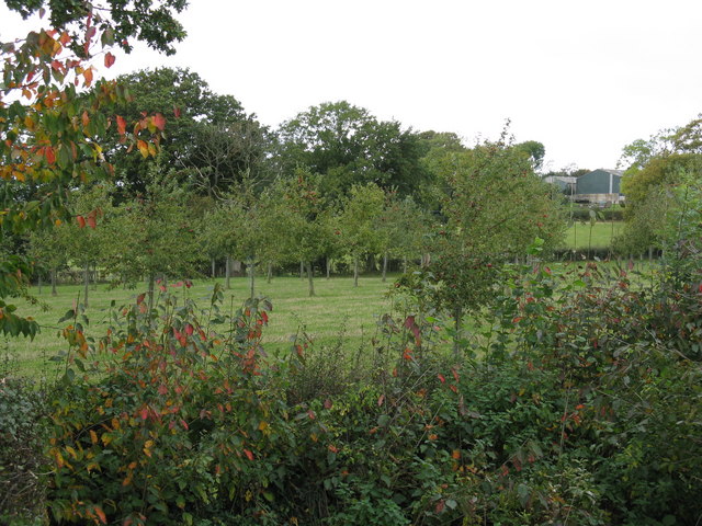
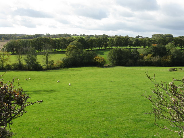
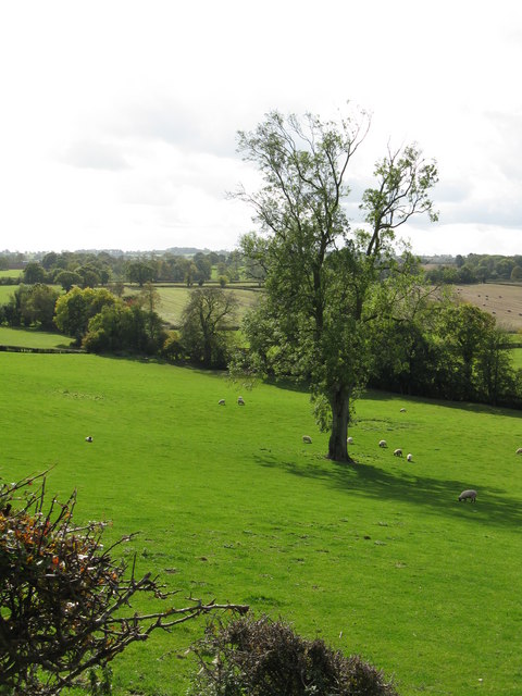
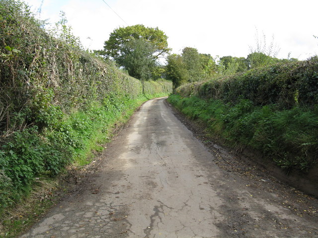
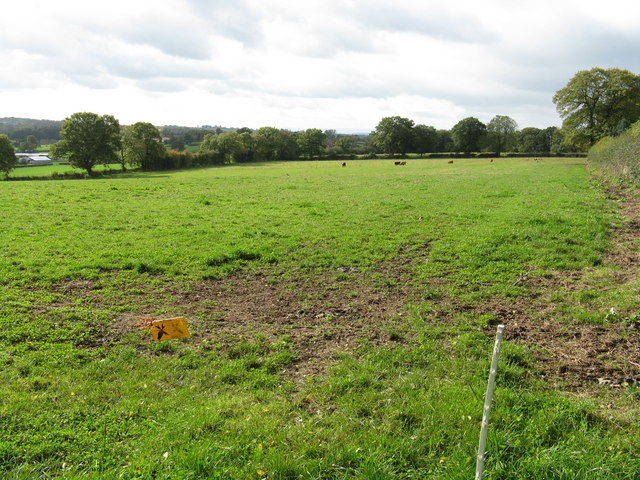
Park Pale is a historic site located in Herefordshire, England. It is a distinctive feature in the landscape and holds significant cultural and historical value. The pale is a man-made boundary that encloses an area of approximately 1,200 acres, encompassing part of the Mortimer Forest and the surrounding countryside.

The construction of the pale can be traced back to the 13th century during the reign of King John. Its purpose was to demarcate the hunting grounds of the Mortimer family, who were influential Marcher Lords in the region. The pale served as a medieval deer park, providing a controlled environment for hunting and preserving game for the nobility.

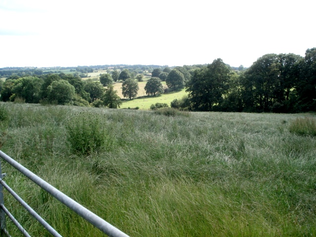
The pale consists of a high earthen bank, typically topped with a wooden fence or hedge. It runs for several miles, forming a circular shape around the designated area. The bank is still visible today, although the wooden fence has long since disappeared.

Park Pale is now recognized as a heritage site due to its historical significance and its contribution to the understanding of medieval land use and aristocratic power structures. It offers a unique glimpse into the past, showcasing the importance of hunting and the social hierarchy during medieval times.

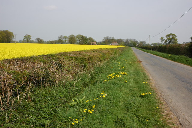
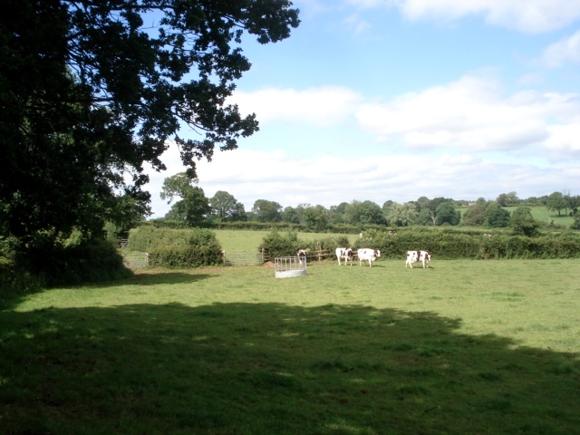
Visitors to Park Pale can explore the surrounding landscape, enjoying picturesque views of the countryside and observing the remnants of the ancient boundary. Interpretive signs and information boards provide insights into the history and significance of the site, making it a valuable educational resource for both locals and tourists interested in medieval history and heritage.

If you have any feedback on the listing, please let us know in the comments section below.
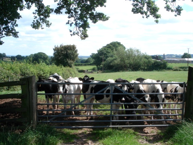
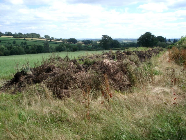
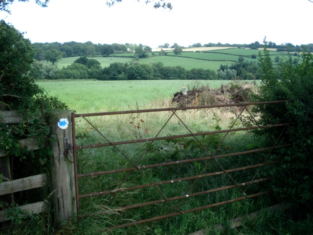
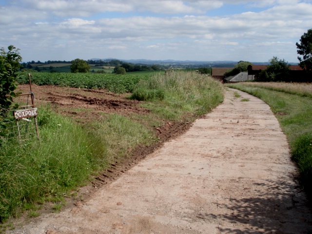
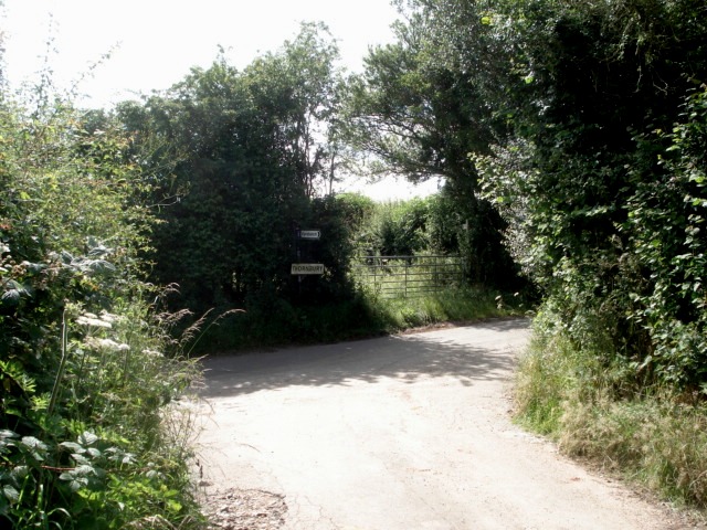
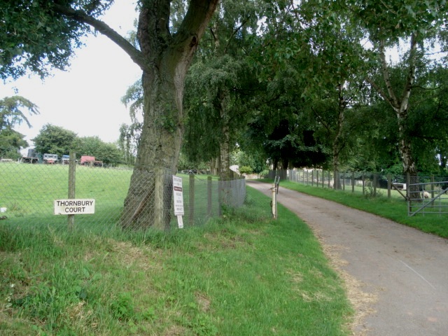
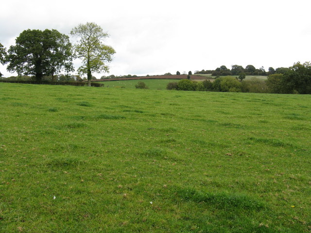
Park Pale Images

Images are sourced within 2km of 52.232/-2.578 or Grid Reference SO6059. Thanks to Geograph Open Source API. All images are credited.

Sheep in a field at Hampton Charles
Road to Kyre Viewed from near the crossroads in Hampton Charles.
Road to Kyre
Viewed from near the crossroads in Hampton Charles.
Farm track to Pool House Farm The metalled road becomes a track a few hundred yards from the farm.
Farm track to Pool House Farm
The metalled road becomes a track a few hundred yards from the farm.
Bungalow at Pool House Farm Home of the Thornbury dairy herd. The main farm buildings entrance is off to the left.
Bungalow at Pool House Farm
Home of the Thornbury dairy herd. The main farm buildings entrance is off to the left.
Dairy pasture at Pool House Farm From the bridleway heading northwards.
Dairy pasture at Pool House Farm
From the bridleway heading northwards.
Young bullocks at Pool House Farm Part of a Friesian herd. Looking southwards on the bridleway towards the farm buildings.
Young bullocks at Pool House Farm
Part of a Friesian herd. Looking southwards on the bridleway towards the farm buildings.
Dung pile at Pool House Farm Waiting to be spread at some time, this long pile sits on the bridleway. Fortunately it was easy to walk around.
Dung pile at Pool House Farm
Waiting to be spread at some time, this long pile sits on the bridleway. Fortunately it was easy to walk around.
Gateway on Pool House Farm Looking eastwards towards Wall Hills.
Gateway on Pool House Farm
Looking eastwards towards Wall Hills.
Entrance to Roxpole From the Kyrebatch Farm road. The Malvern Hills on the horizon to the south.
Entrance to Roxpole
From the Kyrebatch Farm road. The Malvern Hills on the horizon to the south.
Junction of Kyrebatch Farm entrance road Where the road meets the Thornbury-Kyre lane there is a finger post. The large sign under the finger post 'Thornbury' was the only place in the area where I saw a Thornbury village sign, yet here we are over a mile north of the village and with no houses nearby. I assumed that Thornbury was well spread out.
Junction of Kyrebatch Farm entrance road
Where the road meets the Thornbury-Kyre lane there is a finger post. The large sign under the finger post 'Thornbury' was the only place in the area where I saw a Thornbury village sign, yet here we are over a mile north of the village and with no houses nearby. I assumed that Thornbury was well spread out.
Hay Field near Manor Farm Viewed from the Thornbury lane. The bridleway meets the lane at this point and there was no sign of it being used. Would have been hard going on foot.
Hay Field near Manor Farm
Viewed from the Thornbury lane. The bridleway meets the lane at this point and there was no sign of it being used. Would have been hard going on foot.
Entrance to Thornbury Court Unfortunately little can be seen of the very fine manor house from the entrance.
Entrance to Thornbury Court
Unfortunately little can be seen of the very fine manor house from the entrance.
Fields of Pool House Farm
Orchard at Pool House Farm In the background is a mega-barn at Thornbury Court.
Orchard at Pool House Farm
In the background is a mega-barn at Thornbury Court.
The valley west of Thornbury Court
Hillside west of Thornbury Court
The lane to Kyrebatch Farm
Grazing behind the electric fence Cattle graze in the distance in this large field at the Kyrebatch lane junction.
Grazing behind the electric fence
Cattle graze in the distance in this large field at the Kyrebatch lane junction.
Show me another place!

Park Pale is located at Grid Ref: SO6059 (Lat: 52.232, Lng: -2.578)

What 3 Words

///optimally.nightfall.quiz. Near Thornbury, Herefordshire

Nearby Locations

Park Pale

Related Wikis

Fencote railway station

Fencote railway station was a railway station on the Worcester, Bromyard and Leominster Railway in Hatfield and Newhampton, Herefordshire, England. �...

Hatfield and Newhampton

Hatfield and Newhampton is a civil parish in the county of Herefordshire, England, and is 11 miles (18 km) north from the city and county town of Hereford...

Hatfield, Herefordshire

Hatfield is a village and former civil parish, now in the parish of Hatfield and Newhampton, in the county of Herefordshire, England. In 1961 the parish...

Thornbury, Herefordshire

Thornbury is a village in Herefordshire, England, 5.5 km (3.4 mi) north of the town of Bromyard. The population of the village as taken at the 2011 census...

Hampton Charles, Herefordshire

Hampton Charles is a dispersed hamlet and civil parish in Herefordshire, England, and approximately 5 miles (8 km) north-west from Bromyard. The Herefordshire...

Wacton, Herefordshire

Wacton is a small village and civil parish in the county of Herefordshire, England, and 5 miles (8 km) north-west from Bromyard. In a field are remains...

Bockleton

Bockleton is a small village and civil parish (with a shared parish council with neighbouring Stoke Bliss and Kyre) in the Malvern Hills district of Worcestershire...

Bredenbury

Bredenbury is a village and civil parish in Herefordshire, England. It is located 12.5 miles (20.1 km) northeast of Hereford. The village lies on the A44...

Nearby Amenities

Located within 500m of 52.232,-2.578
Fixme: continue N and S
Power: pole
Lat/Long: 52.2294855/-2.582289
Power: pole
Lat/Long: 52.2296513/-2.5812536
Power: pole
Lat/Long: 52.2297788/-2.5804571
Westwood Farm Bungalow
Power: pole
Transformer: distribution
Voltage Primary: 11000
Lat/Long: 52.22993/-2.5795666
The data included in this document is from www.openstreetmap.org. The data is made available under ODbL.

Have you been to Park Pale?

Leave your review of Park Pale below (or comments, questions and feedback).