Parciau

Heritage Site in Denbighshire

Wales

Parciau

Wynn Gardens
Wynn Gardens Credit: Ceri Thomas

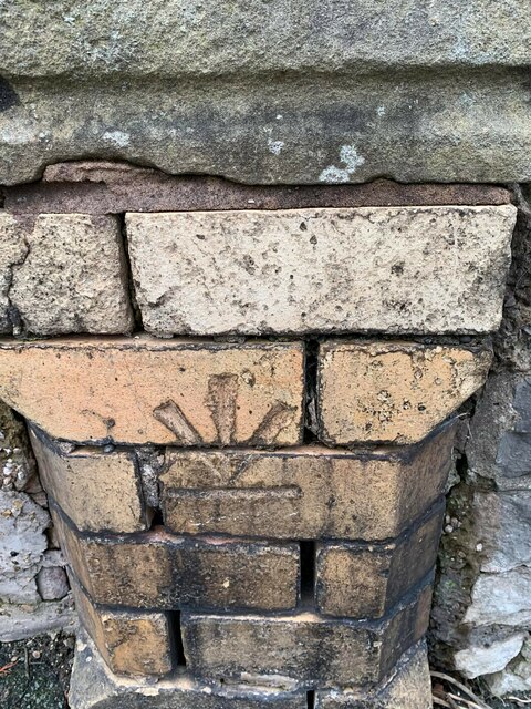
Parciau is a historic site located in Denbighshire, Wales. It is known for its well-preserved remains of a medieval moated site, which dates back to the 13th century. The site is surrounded by a large, water-filled moat, which would have provided protection to the inhabitants of the site in the past.

The remains of Parciau include the foundations of a large, rectangular building, which is believed to have been a manor house or fortified residence. The site also contains evidence of a courtyard, a gatehouse, and a possible chapel.

Parciau is a significant heritage site in Denbighshire, offering visitors a glimpse into the region's medieval past. The site is of archaeological importance, and ongoing research and excavation work continue to uncover more information about its history and significance.

Visitors to Parciau can explore the site and learn about its history through interpretive panels and guided tours. The site is a popular destination for history enthusiasts, as well as for those interested in medieval architecture and archaeology.

If you have any feedback on the listing, please let us know in the comments section below.

Parciau Images

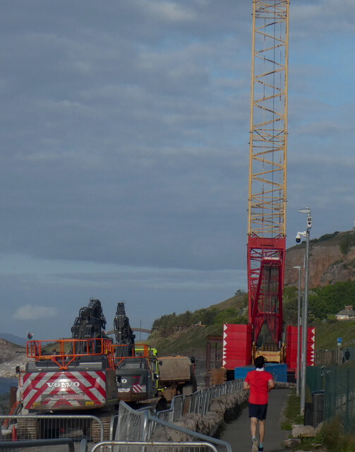
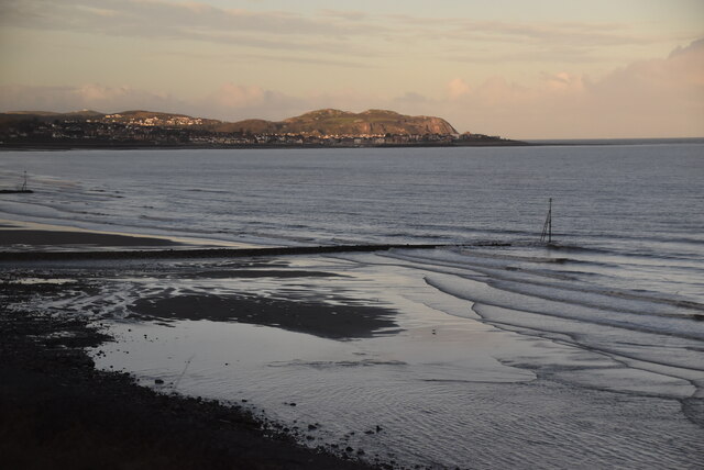
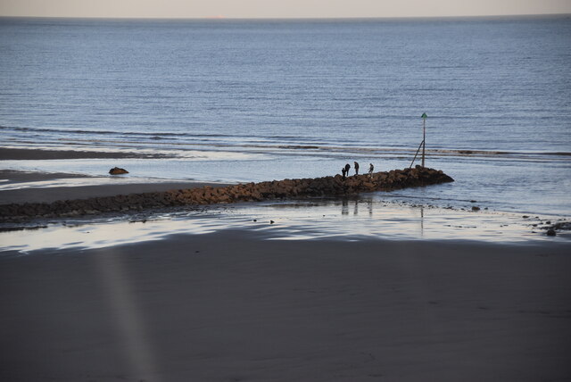
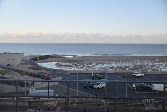
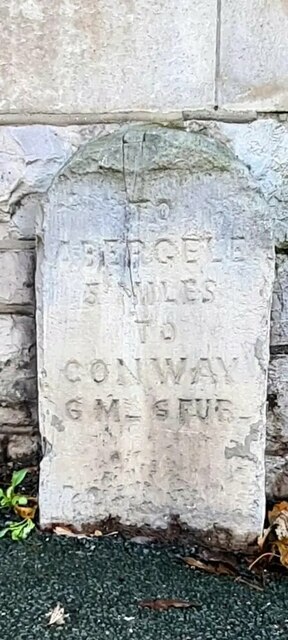
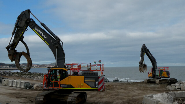
Images are sourced within 2km of 53.282/-3.702 or Grid Reference SH8677. Thanks to Geograph Open Source API. All images are credited.

Wynn Gardens
Wynn Gardens
Diwrnod stormus yn Hen Golwyn / A stormy day in Old Colwyn
Diwrnod stormus yn Hen Golwyn / A stormy day in Old Colwyn (2)
Sblash Dewi Sant / St David's Splash An event to raise money for St David's Hospice
Sblash Dewi Sant / St David's Splash
An event to raise money for St David's Hospice
Bilidowcar / Cormorant Filled with plastic bottles, this sculpture was installed to raise awareness over plastic pollution.
Bilidowcar / Cormorant
Filled with plastic bottles, this sculpture was installed to raise awareness over plastic pollution.
Tyfiant ar Borth Eirias / Vegetation on Porth Eirias
Mae'r dwr yn hyfryd! / The water's lovely! The bystanders and man entering the water appear to be less than convinced.   Taken at the St David's Splash to raise money for St David's Hospice.
Mae'r dwr yn hyfryd! / The water's lovely!
The bystanders and man entering the water appear to be less than convinced. Taken at the St David's Splash to raise money for St David's Hospice.
Craen i godi'r llwyfan bysgota / Crane to construct the fishing platform
Y rhedwr coch / Runner in red The crane is used to construct the fishing platform as part of the Old Colwyn coastal defence works.
Y rhedwr coch / Runner in red
The crane is used to construct the fishing platform as part of the Old Colwyn coastal defence works.
Dreigiau / Dragons
Dreigiau / Dragons
Inverted benchmark on Grove Park, Colwyn Bay For more details see: <span class="nowrap"><a title="https://www.bench-marks.org.uk/bm25136" rel="nofollow ugc noopener" href="https://www.bench-marks.org.uk/bm25136">Link</a><img style="margin-left:2px;" alt="External link" title="External link - shift click to open in new window" src="https://s1.geograph.org.uk/img/external.png" width="10" height="10"/></span>
Inverted benchmark on Grove Park, Colwyn Bay
For more details see: LinkExternal link
Groyne
Groyne
Groyne
Groyne
Porth Eirias
Porth Eirias
Old Milestone by A547, approximately 20m west of Coed Coch Road The Milestone is located at the rear of a footway. Outside Ladbrokes shop on the South of the road.  Parish of Old Conwy (Conwy County Borough District), erected in the 19th Century. 

Inscription reads:-  
TO / ABERGELE / 5 MILES / T0 / CONWAY / 6 MILES / 6 FURLONGS  

Milestone Society National ID: DEN_AGCY05
Old Milestone by A547, approximately 20m west of Coed Coch Road
The Milestone is located at the rear of a footway. Outside Ladbrokes shop on the South of the road.  Parish of Old Conwy (Conwy County Borough District), erected in the 19th Century. Inscription reads:- TO / ABERGELE / 5 MILES / T0 / CONWAY / 6 MILES / 6 FURLONGS Milestone Society National ID: DEN_AGCY05
Gwaith amddiffyn arfordir Hen Golwyn / Old Colwyn coastal defence works
Hydrant marker on Greenfield Road, Colwyn Bay
Study of a Gasoline Station Co-op, Old Colwyn.

 This photograph is part of a series taken in homage to the American artist Ed Ruscha's 1963 publication of 'Twentysix Gasoline Stations'.
 More properly known as filling stations in the UK, I am attempting to photograph as many as possible to mark the sixty year anniversary.
Study of a Gasoline Station
Co-op, Old Colwyn. This photograph is part of a series taken in homage to the American artist Ed Ruscha's 1963 publication of 'Twentysix Gasoline Stations'. More properly known as filling stations in the UK, I am attempting to photograph as many as possible to mark the sixty year anniversary.
Show me another place!

Parciau is located at Grid Ref: SH8677 (Lat: 53.282, Lng: -3.702)

Unitary Authority: Conwy

Police Authority: North Wales

What 3 Words

///bicker.renewals.troubled. Near Colwyn Bay, Conwy

Related Wikis

Llanelian Road

Llanelian Road (Welsh: Ffordd Llanelian) is a multi-use stadium in Old Colwyn, North Wales and also known as the 4 Crosses Construction Arena for sponsorship...

Ysgol Bryn Elian

Ysgol Bryn Elian is an 11–18 English-medium co-educational comprehensive school on Windsor Drive in Old Colwyn. Along with Eirias High School and Coleg...

Colwyn Bay Community Hospital

Colwyn Bay Community Hospital (Welsh: Ysbyty Cymuned Bae Colwyn) is a community hospital in Colwyn Bay, Wales. It is managed by the Betsi Cadwaladr University...

Colwyn Bay

Colwyn Bay (Welsh: Bae Colwyn) is a town, community and seaside resort in Conwy County Borough on the north coast of Wales overlooking the Irish Sea. It...

Nearby Amenities

Located within 500m of 53.282,-3.702
Barrier: kissing_gate
Lat/Long: 53.2834355/-3.7013267
Barrier: kissing_gate
Source: local
Lat/Long: 53.2844752/-3.6990917
Barrier: stile
Lat/Long: 53.2804546/-3.7075642
Power: substation
Lat/Long: 53.285158/-3.699009
Power: substation
Lat/Long: 53.282686/-3.697523
Power: substation
Lat/Long: 53.280293/-3.698457
Direction: WSW
Generator Method: photovoltaic
Generator Output Electricity: yes
Generator Solar Modules: 12
Generator Source: solar
Generator Type: solar_photovoltaic_panel
Location: roof
Power: generator
Lat/Long: 53.2816227/-3.6972003
Direction: SSE
Generator Method: photovoltaic
Generator Output Electricity: yes
Generator Solar Modules: 8
Generator Source: solar
Generator Type: solar_photovoltaic_panel
Location: roof
Power: generator
Lat/Long: 53.2814001/-3.6977054
Direction: SSE
Generator Method: photovoltaic
Generator Output Electricity: yes
Generator Solar Modules: 8
Generator Source: solar
Generator Type: solar_photovoltaic_panel
Location: roof
Power: generator
Lat/Long: 53.2814169/-3.6976384
Direction: ENE
Generator Method: photovoltaic
Generator Output Electricity: yes
Generator Solar Modules: 4
Generator Source: solar
Generator Type: solar_photovoltaic_panel
Location: roof
Power: generator
Lat/Long: 53.2816037/-3.6971482
Direction: 195
Generator Method: photovoltaic
Generator Output Electricity: yes
Generator Solar Modules: 6
Generator Source: solar
Generator Type: solar_photovoltaic_panel
Location: roof
Power: generator
Lat/Long: 53.2806779/-3.6994384
The data included in this document is from www.openstreetmap.org. The data is made available under ODbL.

Have you been to Parciau?

Leave your review of Parciau below (or comments, questions and feedback).