Pant-glâs-uchaf
Heritage Site in Caernarfonshire
Wales
Pant-glâs-uchaf

The requested URL returned error: 429 Too Many Requests
If you have any feedback on the listing, please let us know in the comments section below.
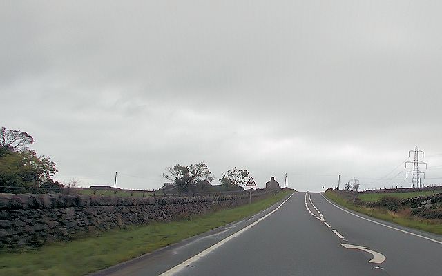
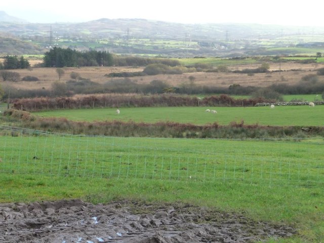
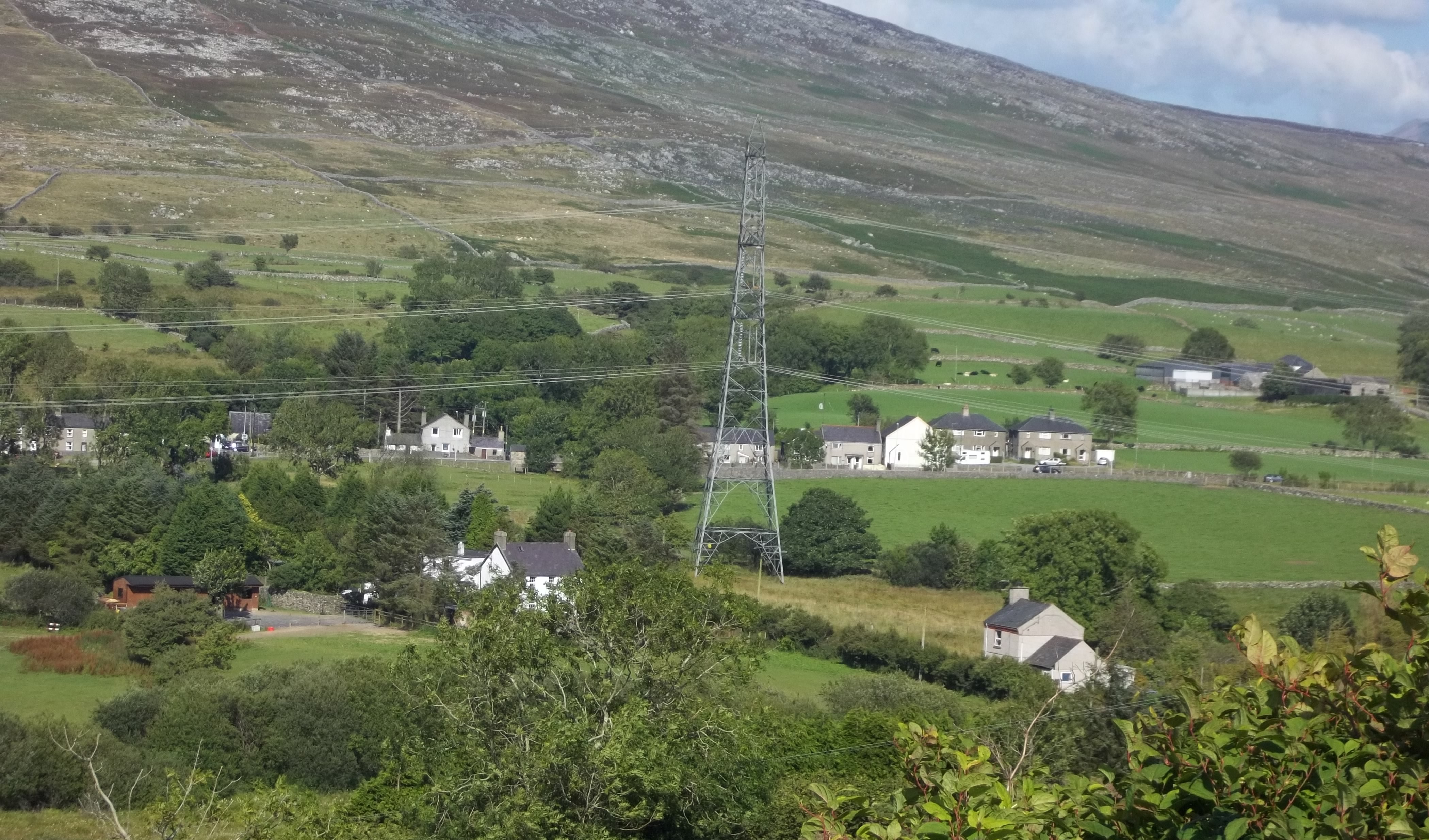
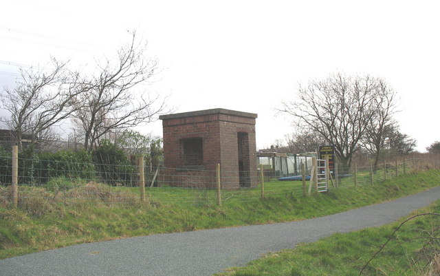
Pant-glâs-uchaf Images
Images are sourced within 2km of 53.003/-4.273 or Grid Reference SH4747. Thanks to Geograph Open Source API. All images are credited.


![Tyn y Gors - Ar Werth [Marsh House - For Sale] The spelling used locally is different from that mapped by the OS.](https://s1.geograph.org.uk/geophotos/04/26/33/4263389_497628b5.jpg)


![Y Foel [The bare mountain] With a spot-heighted summit of 218 metres above sea level, it is the highest ground in this kilometre square.](https://s2.geograph.org.uk/geophotos/04/26/38/4263886_8db1be66.jpg)
Pant-glâs-uchaf is located at Grid Ref: SH4747 (Lat: 53.003, Lng: -4.273)
Unitary Authority: Gwynedd
Police Authority: North Wales
What 3 Words
///pillow.darker.salary. Near Talysarn, Gwynedd
Nearby Locations
Related Wikis
Pant Glas
Pant Glas (Welsh for Green Hollow - in Welsh, as in other Celtic languages, "glas" may mean both 'green' and 'blue') is a hamlet on the A487 road in Gwynedd...
Pant Glas railway station
Pant Glas was a railway station opened by the LNWR in Pant Glas, Gwynedd, Wales, serving a sparsely populated rural area. Custom was never heavy, leading...

Battle of Bryn Derwin
The Battle of Bryn Derwin was fought in Eifionydd, Gwynedd on June 1255, between Llywelyn ap Gruffudd and his brothers, Dafydd ap Gruffudd and Owain Goch...
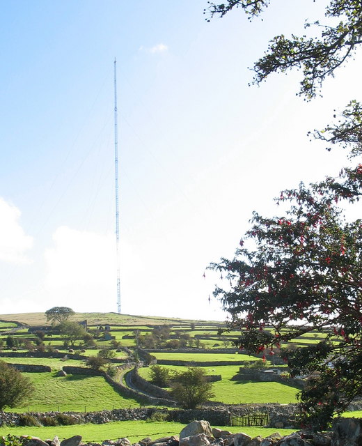
Arfon transmitting station
The Arfon transmitting station is a facility for FM, DAB digital radio and television transmission near the villages of Nebo and Nasareth in Gwynedd, northwestern...
Nearby Amenities
Located within 500m of 53.003,-4.273Have you been to Pant-glâs-uchaf?
Leave your review of Pant-glâs-uchaf below (or comments, questions and feedback).