Old Hall
Heritage Site in Yorkshire
England
Old Hall
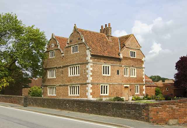
Old Hall, Yorkshire, is a historic heritage site located in the picturesque village of Old Malton, North Yorkshire, England. This magnificent building dates back to the 16th century and is renowned for its architectural significance and rich cultural heritage.
The Old Hall is a Grade I listed building and is known for its distinctive Elizabethan style. It features a stunning timber-framed façade with intricate carvings and decorative motifs, showcasing the craftsmanship of the era. The interiors are equally impressive, with grand oak-panelled rooms, ornate fireplaces, and elaborate plasterwork.
Originally built as a manor house, Old Hall has witnessed centuries of history and has been associated with several notable figures. It is said to have been the residence of Sir William Strickland, who was involved in the colonisation of Virginia in the 17th century. The house passed through various hands over the years, including the Strickland family and the Palmes family.
Today, Old Hall serves as a popular tourist attraction and is open to the public. Visitors can explore the historic rooms, admire the period furniture, and learn about the building's fascinating past through informative displays and guided tours. The site also hosts cultural events and exhibitions, offering visitors a deeper insight into the local history and heritage.
Surrounded by beautiful gardens and situated in close proximity to the stunning North York Moors National Park, Old Hall, Yorkshire, provides a captivating glimpse into the region's architectural legacy and offers an immersive experience for history enthusiasts and tourists alike.
If you have any feedback on the listing, please let us know in the comments section below.
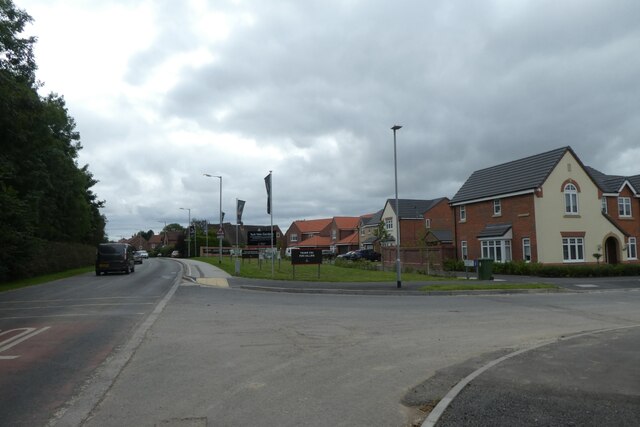
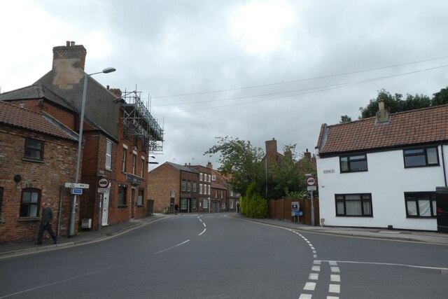
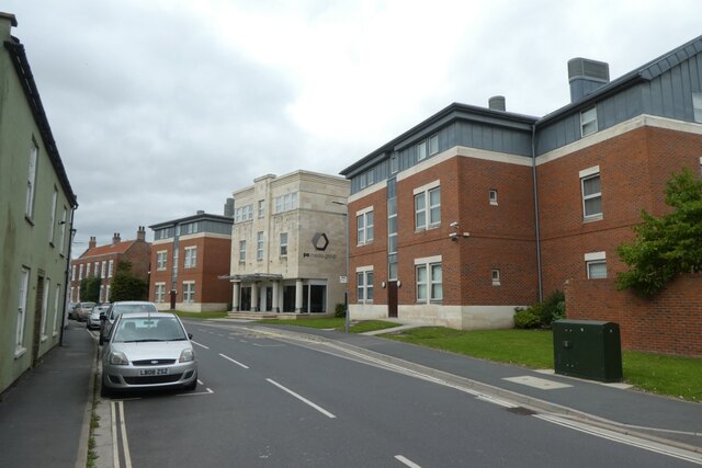
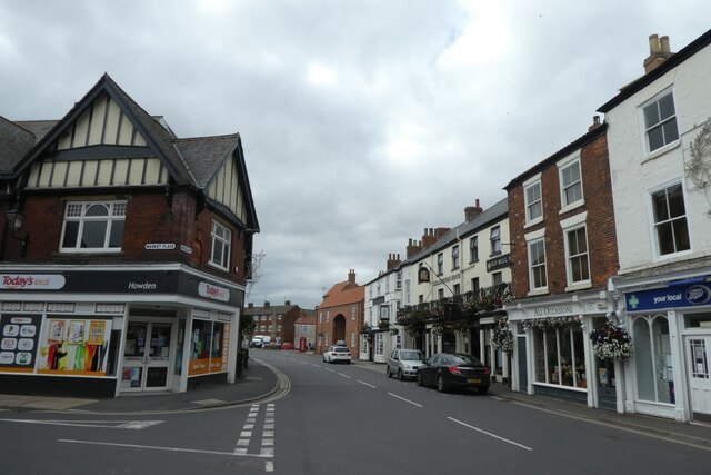
Old Hall Images
Images are sourced within 2km of 53.747/-0.885 or Grid Reference SE7328. Thanks to Geograph Open Source API. All images are credited.
Old Hall is located at Grid Ref: SE7328 (Lat: 53.747, Lng: -0.885)
Division: East Riding
Unitary Authority: East Riding of Yorkshire
Police Authority: Humberside
What 3 Words
///parent.waffle.bulbs. Near Howden, East Yorkshire
Nearby Locations
Related Wikis
Knedlington
Knedlington is a small hamlet and former civil parish, now in the parish of Asselby, in the East Riding of Yorkshire, England. It is situated approximately...
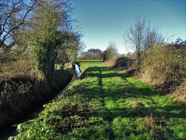
Barn Hill Meadows
Barn Hill Meadows is a Site of Special Scientific Interest (SSSI) in the East Riding of Yorkshire, England. It is located close to the town of Howden....

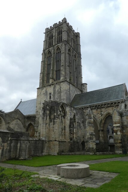
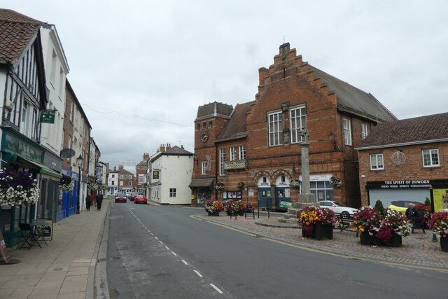
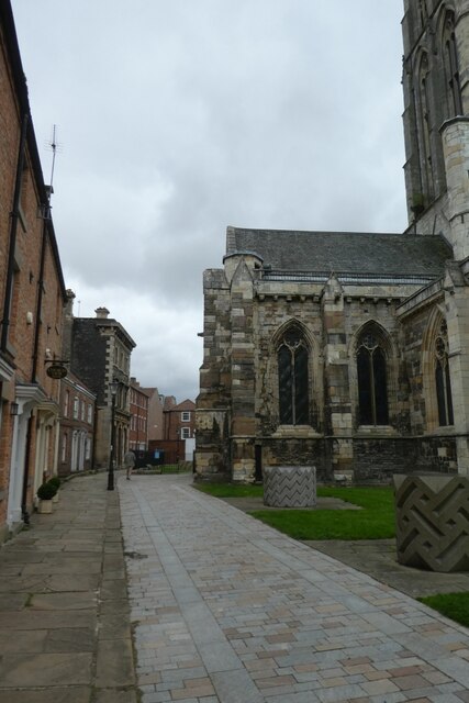
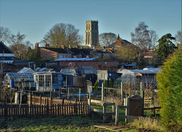
Howden Minster
Howden Minster (also known as the Minster Church of St Peter and St Paul, Howden) is a large Grade I listed Church of England church in the Diocese of...

Boothferry (UK Parliament constituency)
Boothferry was a constituency in Humberside which returned one Member of Parliament (MP) to the House of Commons of the Parliament of the United Kingdom...

Howden (UK Parliament constituency)
Howden was a constituency in Yorkshire which returned one Member of Parliament (MP) to the House of Commons of the Parliament of the United Kingdom....

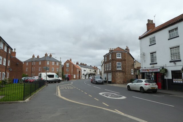
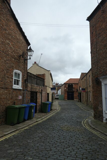
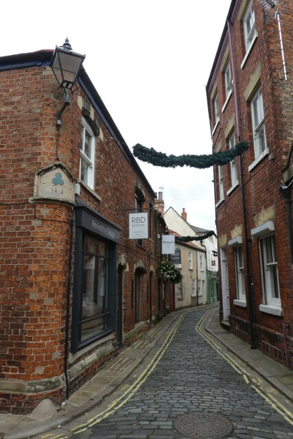
Howden
Howden () is a market and minster town and civil parish in the East Riding of Yorkshire, England. It lies in the Vale of York to the north of the M62,...
South Howden railway station
South Howden railway station was a station on the Hull and Barnsley Railway, and served the town of Howden in the East Riding of Yorkshire, England....
Howden School
Howden School is a coeducational secondary school located in Howden in the East Riding of Yorkshire, England. The school previously specialised in Technology...
Related Videos

HOWDEN: East Riding of Yorkshire Parish #17 of 172
Welcome back to the East Riding for the first town we've covered in the county, and you won't find many quite like this one. It isn't ...

Howden and the Ouse at Christmas
This walk from Howden, East Yorkshire, takes us from its Minster, under the M62 Ouse bridge and out to the north past the ...

Why Relocate to Howden?
The Market Town of Howden has it all... history, architecture, culture, independent shops, community spirit, countryside, events, ...

🥰 CUTE DOG 🐶 ON VACATION 🏖️#cathedral #vacation #dog
Todays Road Trip Takes us to the beautiful Yorkshire market town of Howden. Howden is a teeny tiny market town bursting with ...
Nearby Amenities
Located within 500m of 53.747,-0.885Have you been to Old Hall?
Leave your review of Old Hall below (or comments, questions and feedback).