Knedlington
Settlement in Yorkshire
England
Knedlington
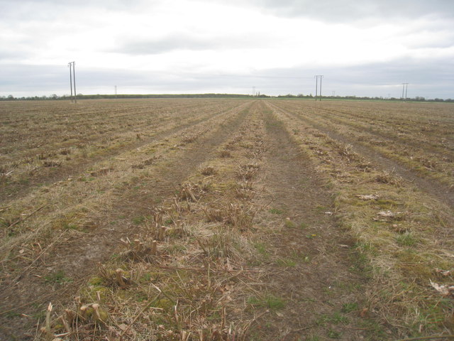
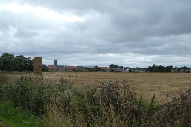
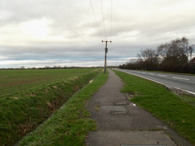
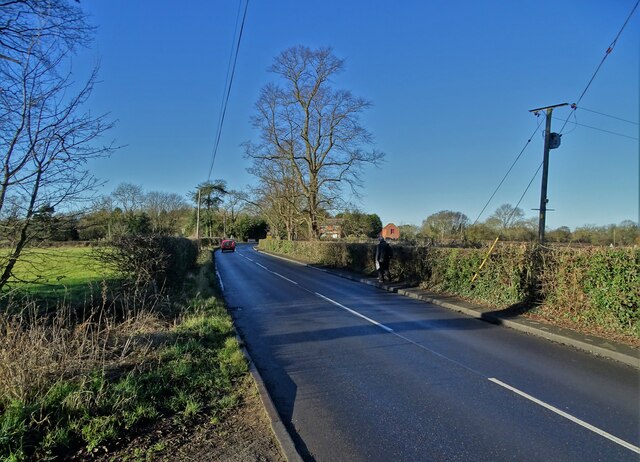
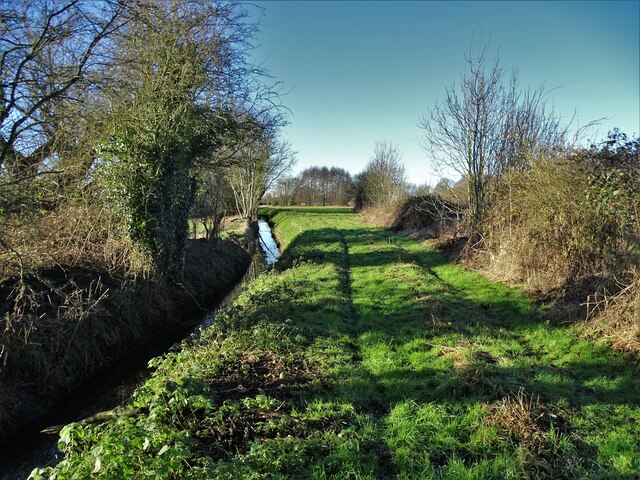
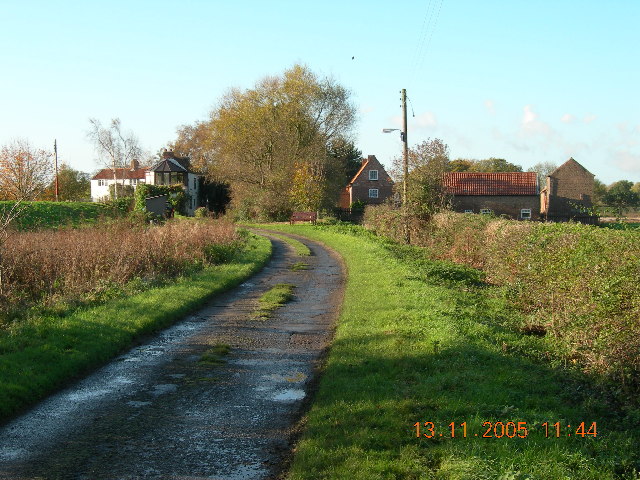
Knedlington is a small village located in the East Riding of Yorkshire, England. Situated approximately 10 miles east of the city of York, it falls within the civil parish of Eastrington. The village is surrounded by picturesque countryside and offers a peaceful rural setting.
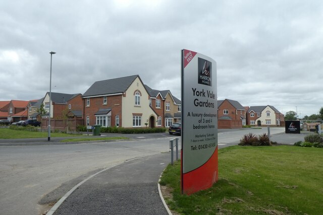
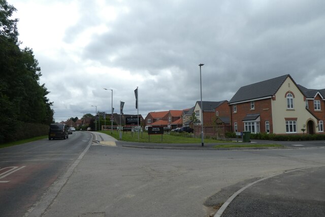
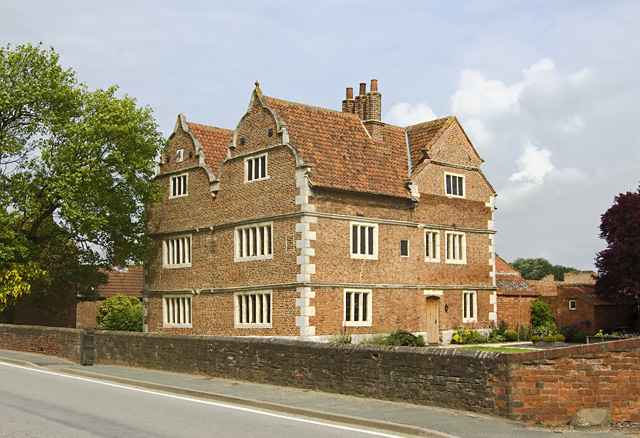
With a population of around 300 residents, Knedlington is characterized by its tight-knit community and friendly atmosphere. The village is primarily residential, comprised of charming cottages and traditional houses. The architecture reflects the area's rich history, with some buildings dating back several centuries.
Knedlington is well-connected to nearby towns and cities, with good road links to York and Hull. The village is also accessible by public transport, with regular bus services running through the area. The nearest railway station is located in Brough, approximately 6 miles away.
While Knedlington itself is relatively small, there are several amenities available to residents and visitors. These include a village hall, a local pub, and a post office. Additionally, the surrounding area offers opportunities for outdoor activities such as walking and cycling, with beautiful countryside and nature reserves nearby.
Overall, Knedlington offers a tranquil and close-knit community lifestyle, providing a peaceful retreat from the busyness of nearby cities. Its location in the heart of Yorkshire allows residents to enjoy the best of both worlds – the tranquility of rural living and the convenience of nearby urban centers.
If you have any feedback on the listing, please let us know in the comments section below.
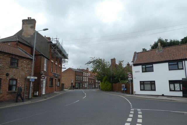
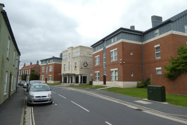
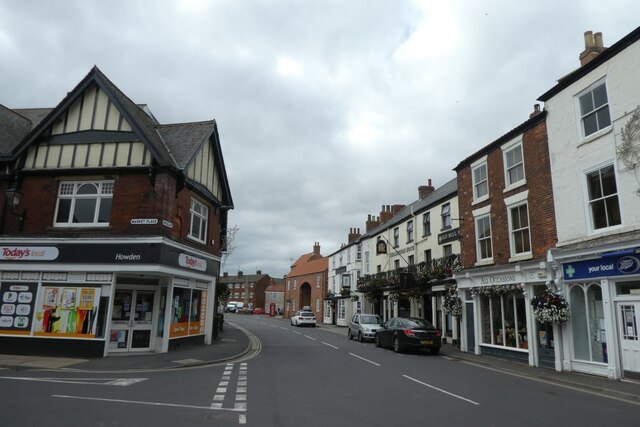
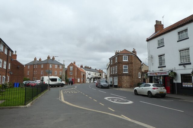
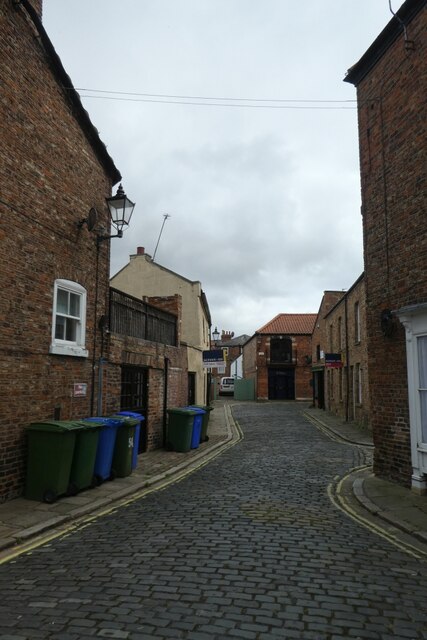
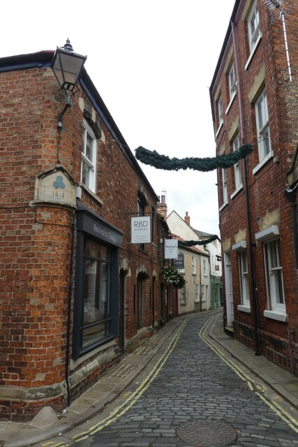
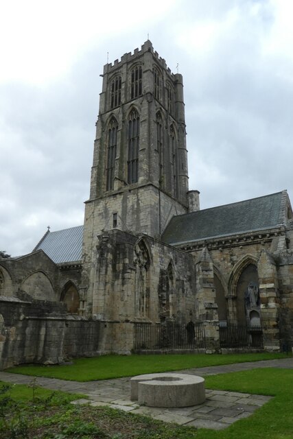
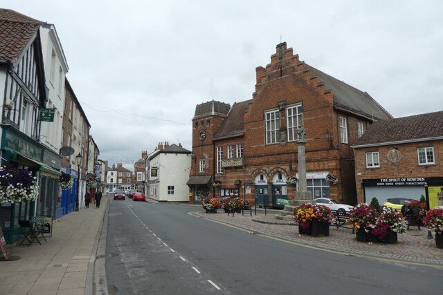
Knedlington Images
Images are sourced within 2km of 53.744551/-0.887146 or Grid Reference SE7328. Thanks to Geograph Open Source API. All images are credited.

Knedlington is located at Grid Ref: SE7328 (Lat: 53.744551, Lng: -0.887146)
Division: East Riding
Unitary Authority: East Riding of Yorkshire
Police Authority: Humberside
What 3 Words
///firewall.headstone.bouncing. Near Howden, East Yorkshire
Nearby Locations
Related Wikis
Knedlington
Knedlington is a small hamlet and former civil parish, now in the parish of Asselby, in the East Riding of Yorkshire, England. It is situated approximately...
Barn Hill Meadows
Barn Hill Meadows is a Site of Special Scientific Interest (SSSI) in the East Riding of Yorkshire, England. It is located close to the town of Howden....

Boothferry (UK Parliament constituency)
Boothferry was a constituency in Humberside which returned one Member of Parliament (MP) to the House of Commons of the Parliament of the United Kingdom...

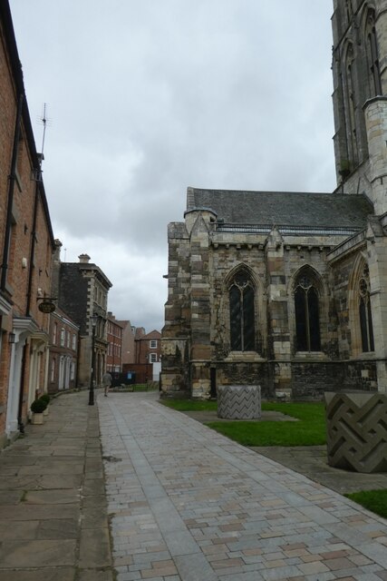
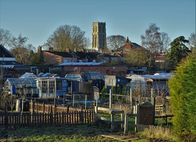
Howden Minster
Howden Minster (also known as the Minster Church of St Peter and St Paul, Howden) is a large Grade I listed Church of England church in the Diocese of...

Howden (UK Parliament constituency)
Howden was a constituency in Yorkshire which returned one Member of Parliament (MP) to the House of Commons of the Parliament of the United Kingdom....

Howden
Howden () is a market and minster town and civil parish in the East Riding of Yorkshire, England. It lies in the Vale of York to the north of the M62,...
Booth, East Riding of Yorkshire
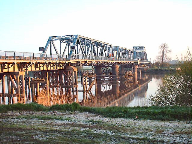
Booth is a hamlet near Goole, in the East Riding of Yorkshire, England. Booth is also known as Boothferry or Boothferry Bridge. == References ==
Boothferry
Boothferry is a village in the East Riding of Yorkshire in England. It is situated on the north bank of the River Ouse where the A614 road crosses the...
Nearby Amenities
Located within 500m of 53.744551,-0.887146Have you been to Knedlington?
Leave your review of Knedlington below (or comments, questions and feedback).