Barn Hill
Hill, Mountain in Yorkshire
England
Barn Hill

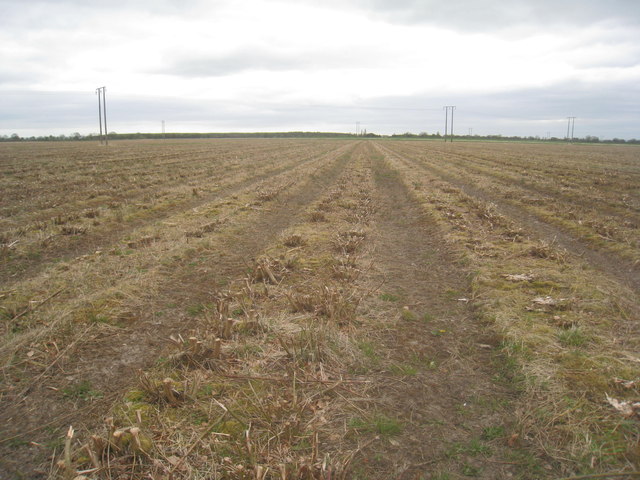
Barn Hill, located in Yorkshire, England, is a prominent hill that stands at an elevation of approximately 321 meters (1,053 feet) above sea level. It is part of the Yorkshire Dales National Park, a picturesque region renowned for its stunning landscapes and rich cultural heritage.
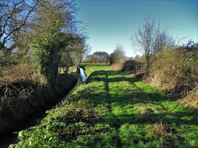
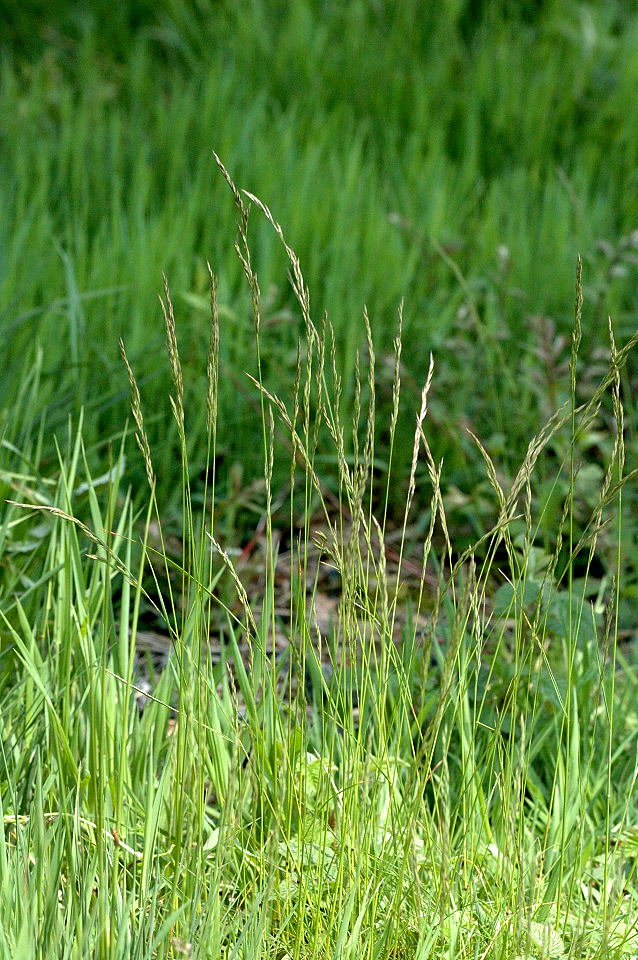
Barn Hill boasts a unique topography, characterized by its gentle slopes, lush green meadows, and rocky outcrops. The hill is primarily covered in thick grasses and heather, providing a natural habitat for a diverse range of flora and fauna. Visitors can expect to encounter a variety of wildflowers, including orchids, harebells, and bluebells, during the spring and summer months.
The summit of Barn Hill offers breathtaking panoramic views of the surrounding countryside, making it a popular destination for hikers, walkers, and nature enthusiasts. On clear days, one can see the rolling hills, valleys, and villages that dot the landscape, creating a picturesque vista that captivates visitors.
The hill is also steeped in history, with archaeological remains dating back thousands of years. Ancient burial mounds and stone circles can be found in the vicinity, serving as a reminder of the area's rich prehistoric past.
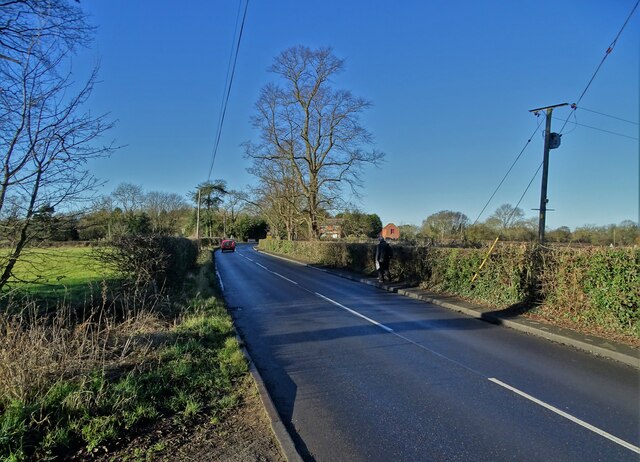
Access to Barn Hill is relatively straightforward, with several footpaths and trails leading to the summit. The hill provides a perfect opportunity for outdoor activities such as hiking, picnicking, and birdwatching. With its natural beauty and historical significance, Barn Hill in Yorkshire is a must-visit destination for those seeking a true taste of the English countryside.
If you have any feedback on the listing, please let us know in the comments section below.
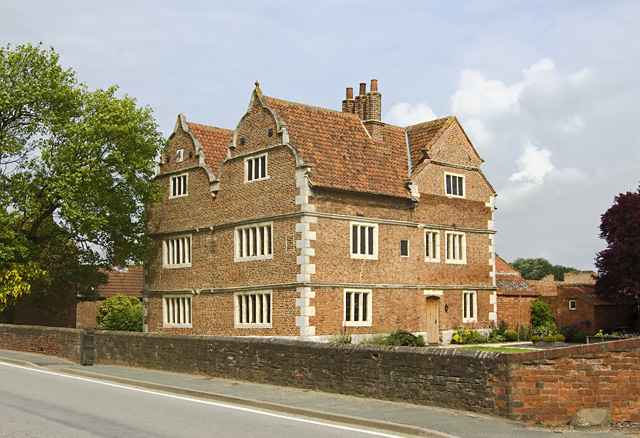
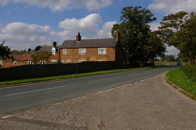
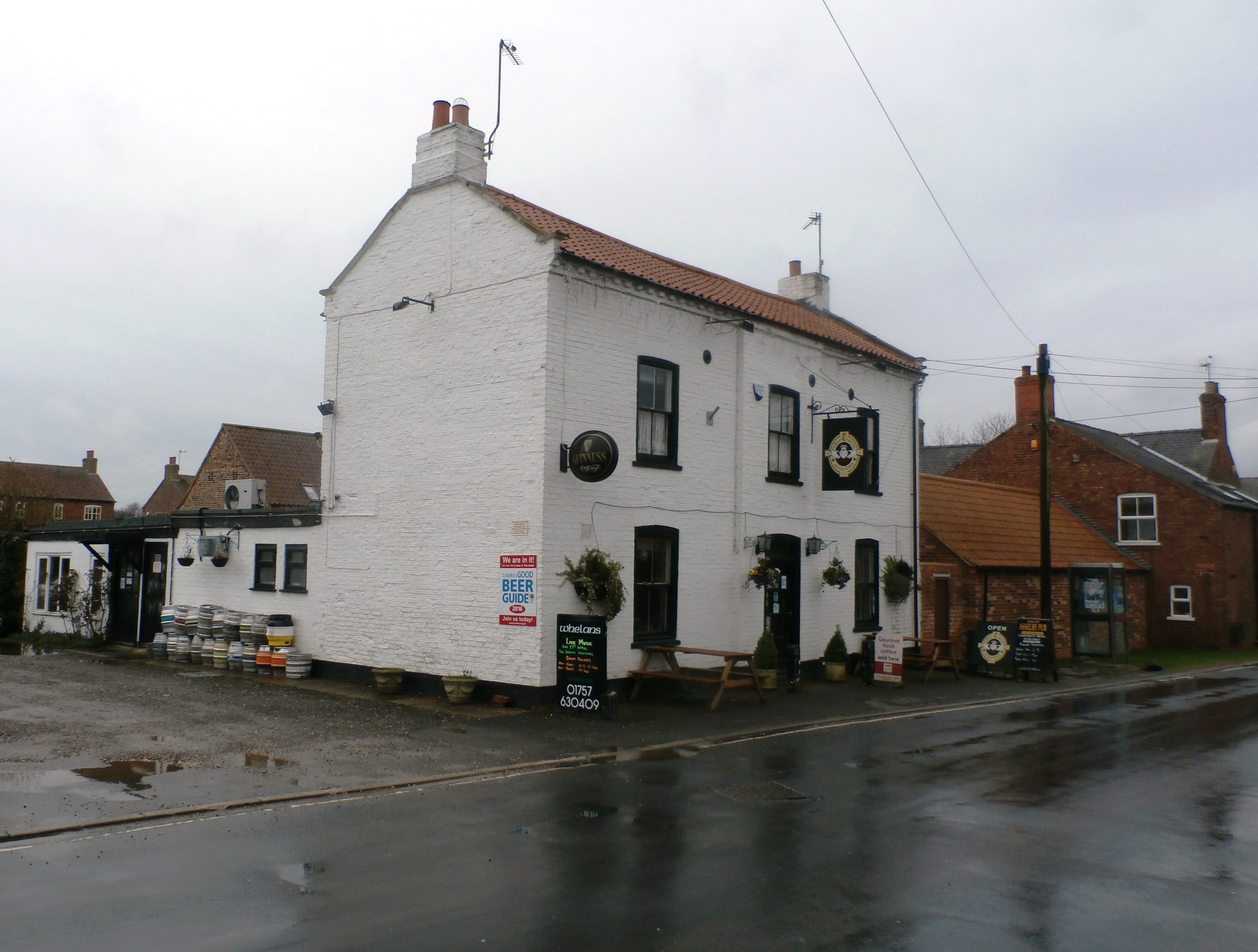
Barn Hill Images
Images are sourced within 2km of 53.750375/-0.89429084 or Grid Reference SE7328. Thanks to Geograph Open Source API. All images are credited.


Barn Hill is located at Grid Ref: SE7328 (Lat: 53.750375, Lng: -0.89429084)
Division: East Riding
Unitary Authority: East Riding of Yorkshire
Police Authority: Humberside
What 3 Words
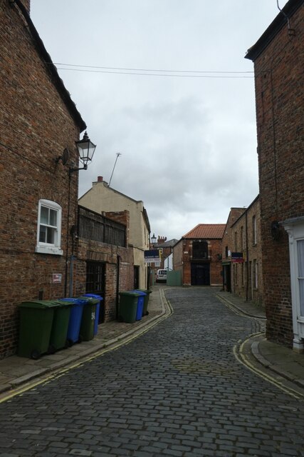
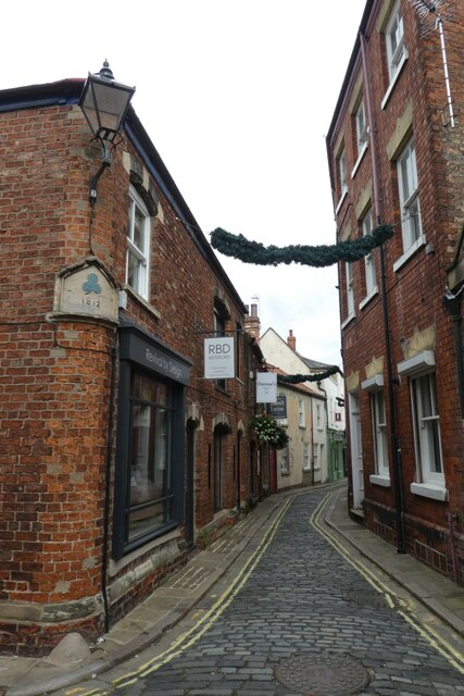
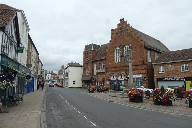
///overjoyed.pitching.fresh. Near Howden, East Yorkshire
Nearby Locations
Related Wikis
Barn Hill Meadows
Barn Hill Meadows is a Site of Special Scientific Interest (SSSI) in the East Riding of Yorkshire, England. It is located close to the town of Howden....
Knedlington
Knedlington is a small hamlet and former civil parish, now in the parish of Asselby, in the East Riding of Yorkshire, England. It is situated approximately...
Newsholme, East Riding of Yorkshire
Newsholme is a hamlet in the East Riding of Yorkshire, England. It is situated approximately 2 miles (3.2 km) north-west of the market town of Howden and...
Asselby
Asselby is a village and civil parish in the East Riding of Yorkshire, England. It is located in the south-west of the county, north of the River Ouse...

Boothferry (UK Parliament constituency)
Boothferry was a constituency in Humberside which returned one Member of Parliament (MP) to the House of Commons of the Parliament of the United Kingdom...

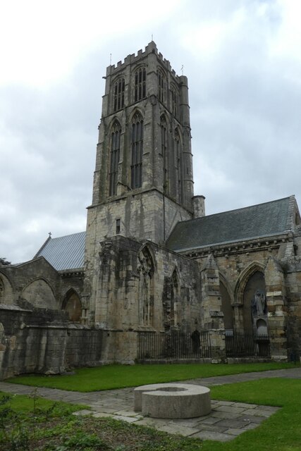
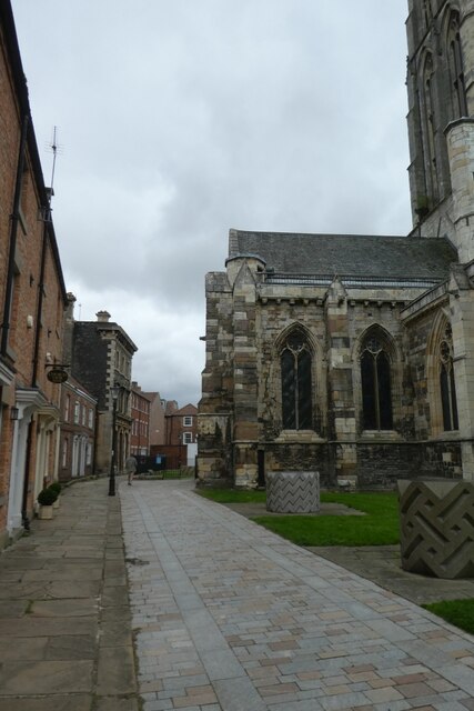
Howden Minster
Howden Minster (also known as the Minster Church of St Peter and St Paul, Howden) is a large Grade I listed Church of England church in the Diocese of...

Howden (UK Parliament constituency)
Howden was a constituency in Yorkshire which returned one Member of Parliament (MP) to the House of Commons of the Parliament of the United Kingdom....
South Howden railway station
South Howden railway station was a station on the Hull and Barnsley Railway, and served the town of Howden in the East Riding of Yorkshire, England....
Nearby Amenities
Located within 500m of 53.750375,-0.89429084Have you been to Barn Hill?
Leave your review of Barn Hill below (or comments, questions and feedback).