Belhelvie

Settlement in Aberdeenshire

Scotland

Belhelvie

Home Farm Entrance The access road to the Home farm of Potterton.
Home Farm Entrance Credit: Andrew Wood

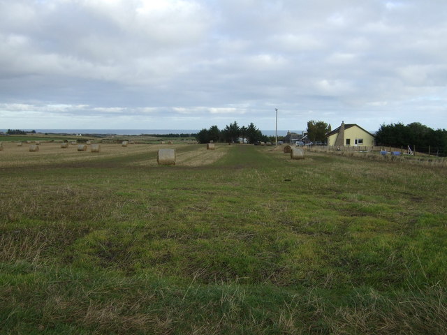
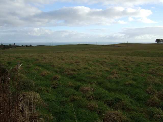
Belhelvie is a small village situated in the Aberdeenshire region of Scotland. It is located approximately 10 miles north of the city of Aberdeen, making it an ideal commuter village for those working in the city. The village is surrounded by picturesque countryside and offers stunning views of the North Sea.

Belhelvie is known for its rich history, with evidence of human settlement dating back to prehistoric times. The area is home to several ancient archaeological sites, including the Stone Circle of Balbithan, which attracts visitors interested in the region's past.

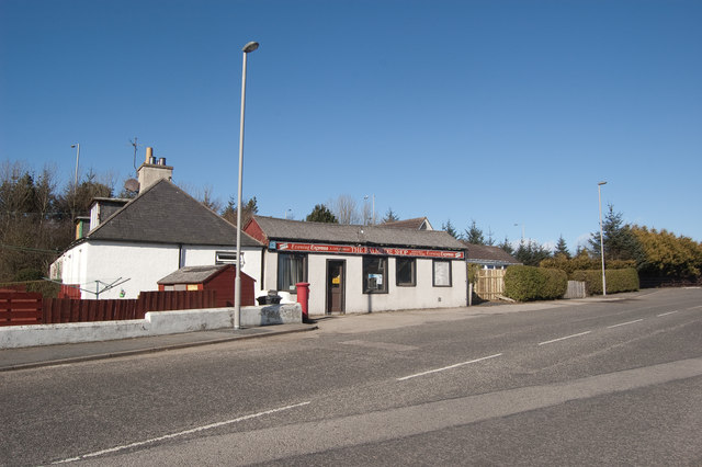
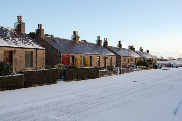
Today, Belhelvie is a peaceful and close-knit community, with a population of around 1,000 residents. The village provides essential amenities, including a primary school, a post office, and a local shop, ensuring that residents have access to everyday necessities.

The surrounding countryside offers a range of outdoor activities, including walking, cycling, and birdwatching. The nearby Forvie National Nature Reserve is a haven for wildlife enthusiasts, with its diverse range of habitats and species. The reserve is especially famous for its resident seal colony, which can be observed from designated viewing points.

Transport links in Belhelvie are excellent, with regular bus services connecting the village to Aberdeen and other nearby towns. The village also benefits from being close to the A90, a major road that provides easy access to the wider Aberdeenshire area and beyond.

Overall, Belhelvie offers a tranquil and scenic place to live, combining the charms of rural living with the convenience of being close to a major city.

If you have any feedback on the listing, please let us know in the comments section below.

Belhelvie Images

Images are sourced within 2km of 57.248556/-2.089535 or Grid Reference NJ9417. Thanks to Geograph Open Source API. All images are credited.

Home Farm Entrance The access road to the Home farm of Potterton.
Home Farm Entrance
The access road to the Home farm of Potterton.
Ready for planting. A recently ploughed field, with Muirton Home Farm in the background.
Ready for planting.
A recently ploughed field, with Muirton Home Farm in the background.
Junction The B999 (Aberdeen to Pitmedden) meets the B977 (Dyce to Balmedie).
Junction
The B999 (Aberdeen to Pitmedden) meets the B977 (Dyce to Balmedie).
Village store no more The old village shop in Balmedie.  It evidently couldn't compete with the convenience stores built in the newer parts of the village.
Village store no more
The old village shop in Balmedie. It evidently couldn't compete with the convenience stores built in the newer parts of the village.
Road to nowhere This once led to the now-defunct East Aberdeenshire Golf Centre
Road to nowhere
This once led to the now-defunct East Aberdeenshire Golf Centre
Chance Inn Farm
Chance Inn Farm
Towards the junction Causeyend Farm is on the left in the distance.
Towards the junction
Causeyend Farm is on the left in the distance.
Causeyend
Causeyend
Whitehills
Whitehills
Farmland, Denhead of Orrock
Country road heading south Towards Hill of Keir.
Country road heading south
Towards Hill of Keir.
Grazing, Hill of Keir With a distant sea view.
Grazing, Hill of Keir
With a distant sea view.
Country road heading east, Hill of Keir Towards Drumhead and the A90.
Country road heading east, Hill of Keir
Towards Drumhead and the A90.
Belhelvie Community Education Centre
Farmland, Belhelvie
Farmland, Belhelvie
B977 heading south Through Belhelvie.
B977 heading south
Through Belhelvie.
Garage, Belhelvie On the B977.
Garage, Belhelvie
On the B977.
Grazing, Murton Home Farm
Show me another place!

Belhelvie is located at Grid Ref: NJ9417 (Lat: 57.248556, Lng: -2.089535)

Unitary Authority: Aberdeenshire

Police Authority: North East

What 3 Words

///devalued.stormy.journals. Near Balmedie, Aberdeenshire

Nearby Locations

Belhelvie

Related Wikis

Belhelvie

Belhelvie (Scottish Gaelic: Baile Shealbhaigh) is a small village and civil parish in Aberdeenshire in Scotland. The parish has a population of 3,802...

Potterton

Potterton is a village north of Aberdeen, Scotland, in Aberdeenshire, west of Balmedie. Population in 1991 was 1159, falling by 2001 to 886. == References ==

Balmedie

Balmedie (Scottish Gaelic: Baile Mheadhain) is a large village in Aberdeenshire in Scotland. It lies north of the city of Aberdeen, in the civil parish...

Whitecairns

Whitecairns is a village in the Formartine area of Aberdeenshire, Scotland, lying 3.6 kilometres (2.2 mi) north of Potterton and 9.7 kilometres (6.0 mi...

Nearby Amenities

Located within 500m of 57.248556,-2.089535
Turning Loop
Lat/Long: 57.2503805/-2.0868615
Traffic Calming: hump
Lat/Long: 57.2485587/-2.0875163
Belhelvie
Place: village
Lat/Long: 57.2485107/-2.0894982
Cadger's Garage
Shop: car_repair
Lat/Long: 57.2482397/-2.0915807
Bus Stop
Park Terrace
Bus: yes
Naptan AtcoCode: 630035172
Naptan Bearing: N
Naptan CommonName: Park Terrace
Naptan Indicator: opp
Naptan NaptanCode: 23626749
Naptan Street: B977
Naptan Verified: no
Public Transport: platform
Source: naptan;bing;naptan_compare_tool
Lat/Long: 57.2496808/-2.0885765
Bus Stop
Park Terrace
Bus: yes
Naptan AtcoCode: 630035171
Naptan Bearing: S
Naptan CommonName: Park Terrace
Naptan Indicator: at
Naptan NaptanCode: 23626754
Naptan Street: B977
Naptan Verified: no
Public Transport: platform
Shelter: yes
Source: naptan;bing;naptan_compare_tool
Lat/Long: 57.2498048/-2.0883009
Traffic Calming: hump
Lat/Long: 57.24879/-2.0869978
Traffic Calming: hump
Lat/Long: 57.2481265/-2.0881332
Traffic Calming: hump
Lat/Long: 57.2480046/-2.0894338
Give Way
Direction: backward
Lat/Long: 57.2518219/-2.0872778
Grit Bin
Lat/Long: 57.2493695/-2.0883321
Grit Bin
Lat/Long: 57.2475214/-2.0876652
Generator Method: photovoltaic
Generator Output Electricity: yes
Generator Source: solar
Generator Type: solar_photovoltaic_panel
Location: roof
Power: generator
Lat/Long: 57.2456344/-2.086308
Generator Method: photovoltaic
Generator Output Electricity: yes
Generator Source: solar
Generator Type: solar_photovoltaic_panel
Location: roof
Power: generator
Lat/Long: 57.245379/-2.0866862
Generator Method: photovoltaic
Generator Output Electricity: yes
Generator Source: solar
Generator Type: solar_photovoltaic_panel
Location: roof
Power: generator
Lat/Long: 57.2467373/-2.0874104
Power: pole
Lat/Long: 57.2482384/-2.0975762
Power: pole
Lat/Long: 57.2486832/-2.0967117
Power: pole
Lat/Long: 57.249152/-2.095837
Power: pole
Lat/Long: 57.2495967/-2.0949988
Power: pole
Lat/Long: 57.2499169/-2.0938979
Power: pole
Lat/Long: 57.2502556/-2.0927809
Power: pole
Lat/Long: 57.2505092/-2.0920941
Power: pole
Lat/Long: 57.2511233/-2.0904781
Power: pole
Lat/Long: 57.2511899/-2.0895065
Power: pole
Lat/Long: 57.2512828/-2.0880825
Power: pole
Lat/Long: 57.2469066/-2.0859398
Power: pole
Lat/Long: 57.2469528/-2.0852762
Power: pole
Lat/Long: 57.247021/-2.0841515
Power: pole
Lat/Long: 57.2470624/-2.0834361
Power: pole
Lat/Long: 57.2475078/-2.0824239
Power: pole
Lat/Long: 57.2479776/-2.0813846
Power: pole
Lat/Long: 57.2512401/-2.0830548
Power: pole
Lat/Long: 57.2526657/-2.0863773
Power: pole
Lat/Long: 57.2523864/-2.087114
Power: pole
Lat/Long: 57.2521832/-2.0876865
Power: pole
Lat/Long: 57.2519462/-2.0883172
Power: pole
Lat/Long: 57.2517653/-2.0888389
Bus Stop
Cairntack Road
Bus: yes
Naptan AtcoCode: 630030061
Naptan Bearing: S
Naptan CommonName: Cairntack Road
Naptan Indicator: at
Naptan NaptanCode: 23626747
Naptan Street: B977
Naptan Verified: no
Public Transport: platform
Source: naptan;bing;naptan_compare_tool
Lat/Long: 57.2471491/-2.0900966
Bus Stop
Cairntack Road
Bus: yes
Naptan AtcoCode: 630030062
Naptan Bearing: N
Naptan CommonName: Cairntack Road
Naptan Indicator: opp
Naptan NaptanCode: 23629536
Naptan Street: B977
Naptan Verified: no
Public Transport: platform
Source: naptan;bing;naptan_compare_tool
Lat/Long: 57.247086/-2.090345
Give Way
Direction: backward
Lat/Long: 57.2480326/-2.0896627
Stop
Direction: backward
Lat/Long: 57.2484843/-2.0896098
The data included in this document is from www.openstreetmap.org. The data is made available under ODbL.

Have you been to Belhelvie?

Leave your review of Belhelvie below (or comments, questions and feedback).