Bell Bar
Settlement in Hertfordshire Welwyn Hatfield
England
Bell Bar
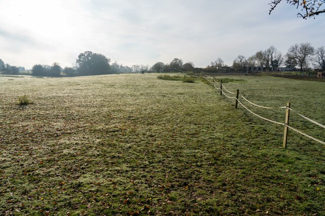
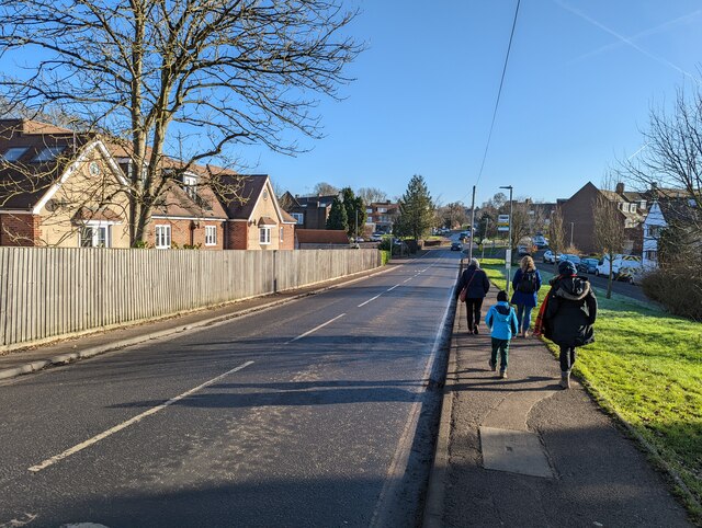
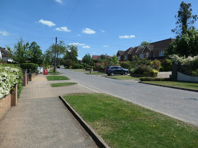
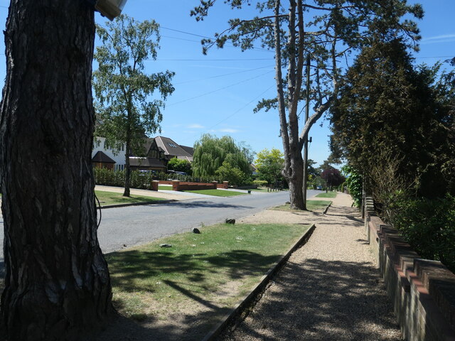
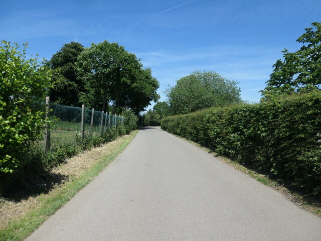
Bell Bar is a small village located in Hertfordshire, England. Situated approximately 3 miles southeast of the town of Hatfield, it falls within the borough of Welwyn Hatfield. The village is surrounded by picturesque countryside, offering a tranquil and idyllic setting for its residents.
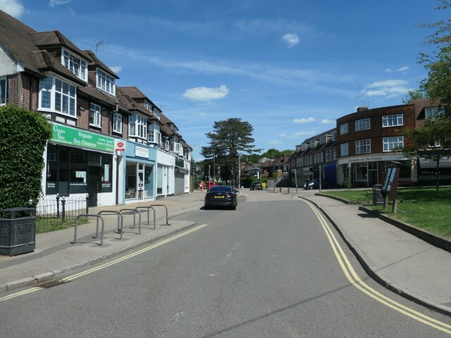
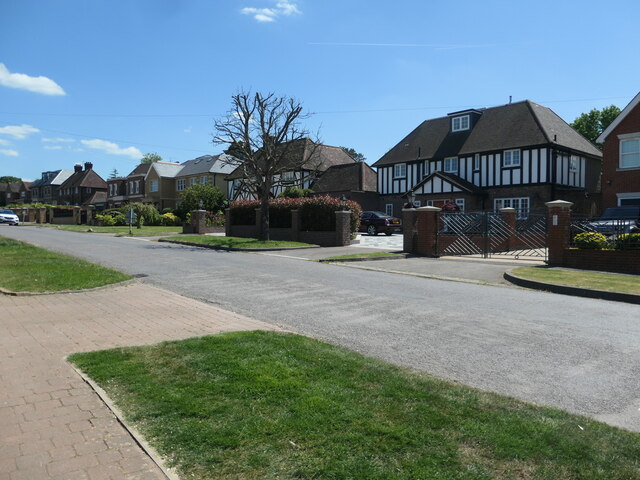
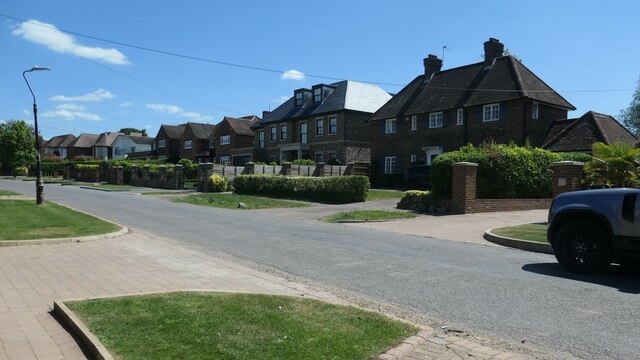
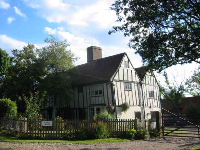
Bell Bar is primarily a residential area, characterized by its charming houses and cottages. The village has a strong sense of community, with a range of amenities available for its residents. These include a village hall, a local pub, and a small convenience store, providing essential services to the local population.
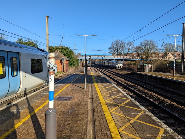
The village's location offers easy access to nearby towns and cities. The A1(M) motorway is just a short drive away, connecting Bell Bar to London and other major cities in the region. The nearby Hatfield train station provides regular rail services to London and other destinations.
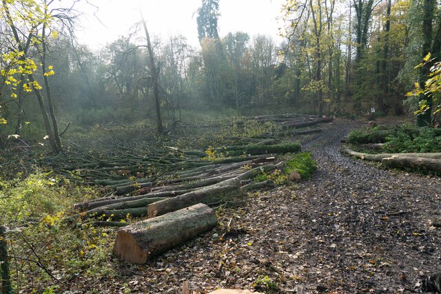
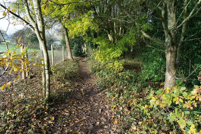
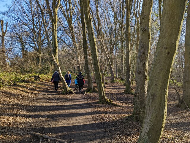
In terms of recreational activities, Bell Bar benefits from its proximity to the beautiful countryside of Hertfordshire. There are numerous walking and cycling routes in the area, allowing residents to explore the natural beauty of their surroundings. The village also benefits from being close to Hatfield House, a stunning Jacobean mansion and gardens that attract visitors from far and wide.
Overall, Bell Bar offers a peaceful and picturesque place to live, with a strong sense of community and easy access to amenities and nearby towns. Its rural charm and convenient location make it an attractive location for those seeking a quieter, yet well-connected, place to call home.
If you have any feedback on the listing, please let us know in the comments section below.
Bell Bar Images
Images are sourced within 2km of 51.731439/-0.184986 or Grid Reference TL2505. Thanks to Geograph Open Source API. All images are credited.
![Brookmans Park Golf Club [1] Seen from Golf Club Road.](https://s1.geograph.org.uk/geophotos/07/18/68/7186825_f900b103.jpg)
Bell Bar is located at Grid Ref: TL2505 (Lat: 51.731439, Lng: -0.184986)
Administrative County: Hertfordshire
District: Welwyn Hatfield
Police Authority: Hertfordshire
What 3 Words
///regime.waters.rich. Near Potters Bar, Hertfordshire
Nearby Locations
Related Wikis
Bell Bar
Bell Bar is a hamlet located in North Mymms, Hertfordshire, England. It is in the civil parish of North Mymms. Thought to be named after the ancient Bell...

Chancellor's School
Chancellor's School is a coeducational secondary school and sixth form located in Brookmans Park, Hertfordshire, England. == History == The school opened...
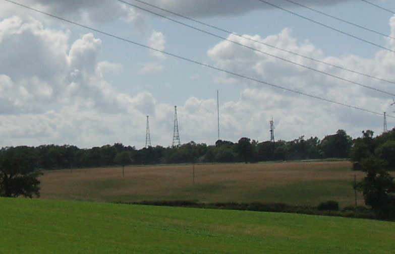
Brookmans Park transmitting station
The Brookmans Park transmitting station is a facility for medium wave (MW) broadcasting at Brookmans Park, Hertfordshire, north of London (grid reference...
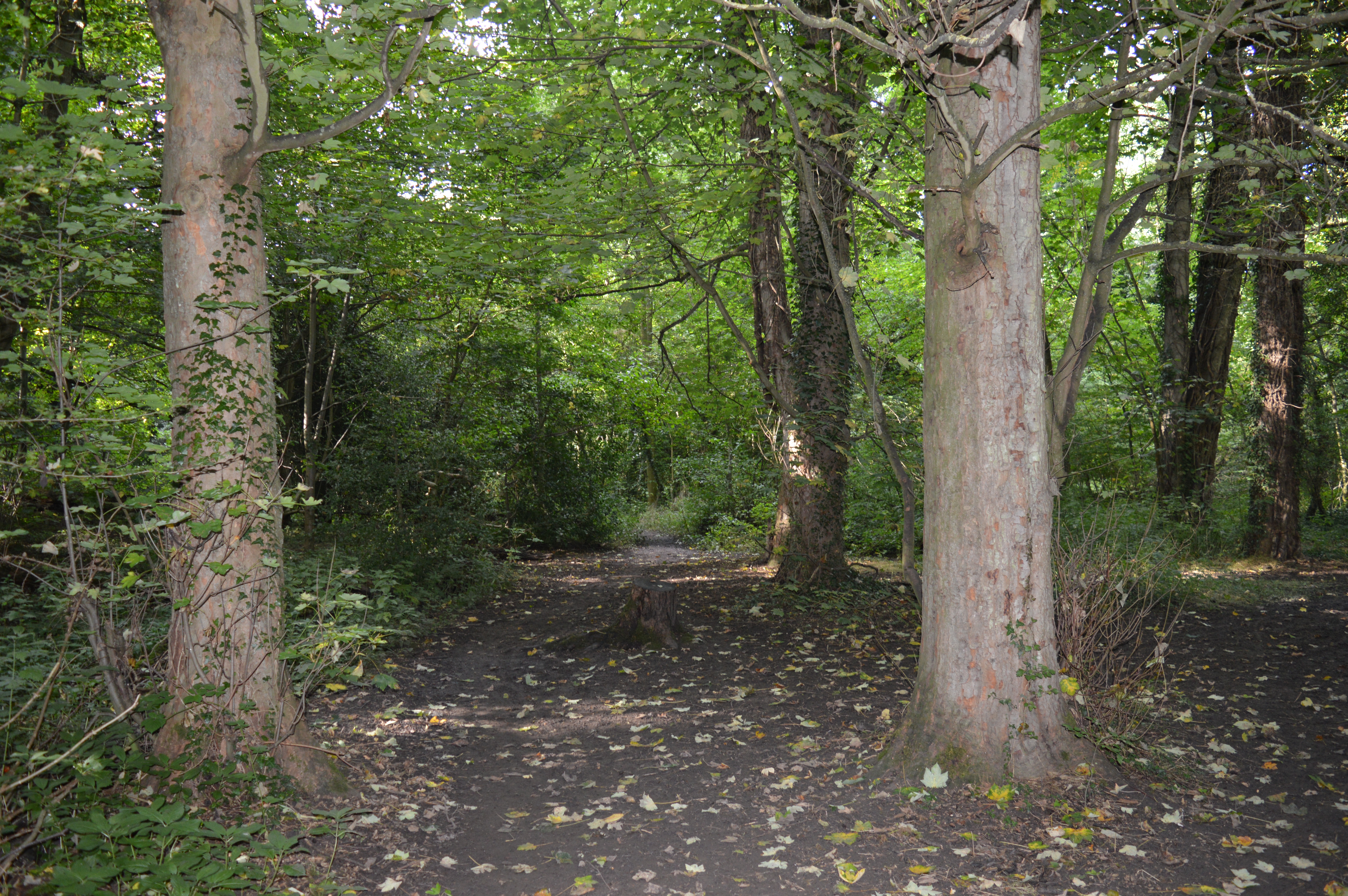
Gobions Wood
Gobions Wood is a 36 hectare nature reserve managed by the Herts and Middlesex Wildlife Trust in Brookmans Park in Hertfordshire. The site was formerly...
Nearby Amenities
Located within 500m of 51.731439,-0.184986Have you been to Bell Bar?
Leave your review of Bell Bar below (or comments, questions and feedback).