Monzie Castle

Heritage Site in Perthshire

Scotland

Monzie Castle

Cairn and path at the top of Knock of Crieff
Cairn and path at the top of Knock of Crieff Credit: Steven Brown

Monzie Castle, located in Perthshire, Scotland, is a historic heritage site that dates back to the 17th century. Situated amidst picturesque countryside, the castle is renowned for its stunning architecture and rich history.

Originally built as a tower house in the 17th century, Monzie Castle underwent several expansions and renovations over the centuries. The castle features a combination of architectural styles, including elements of Scottish Baronial and Georgian architecture. The exterior of the castle is characterized by its imposing stone walls, turrets, and battlements, while the interior boasts grand rooms, ornate ceilings, and intricate woodwork.

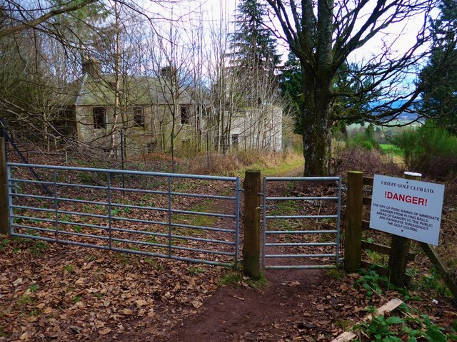
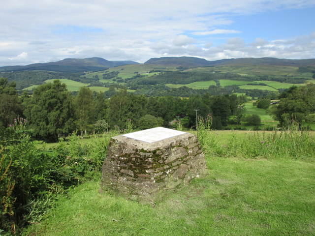
Surrounded by beautifully landscaped gardens, Monzie Castle offers visitors a glimpse into the past. The castle and its grounds have been meticulously preserved, allowing visitors to explore its historical significance. Guided tours are available, providing insights into the castle's architecture, the lives of its past inhabitants, and the castle's role in local history.

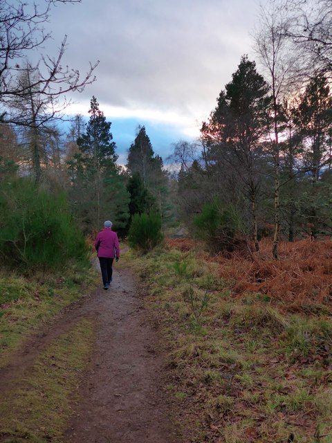
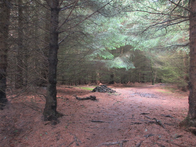
Beyond its architectural splendor, Monzie Castle is also home to a diverse range of wildlife, including red squirrels, deer, and various bird species. The castle's grounds provide opportunities for nature walks and leisurely strolls, allowing visitors to appreciate the natural beauty of the surrounding area.

Overall, Monzie Castle stands as a testament to Scotland's rich heritage and offers visitors a unique opportunity to step back in time and experience the grandeur of a bygone era. With its stunning architecture, beautiful gardens, and historical significance, Monzie Castle is a must-visit destination for history enthusiasts and nature lovers alike.

If you have any feedback on the listing, please let us know in the comments section below.

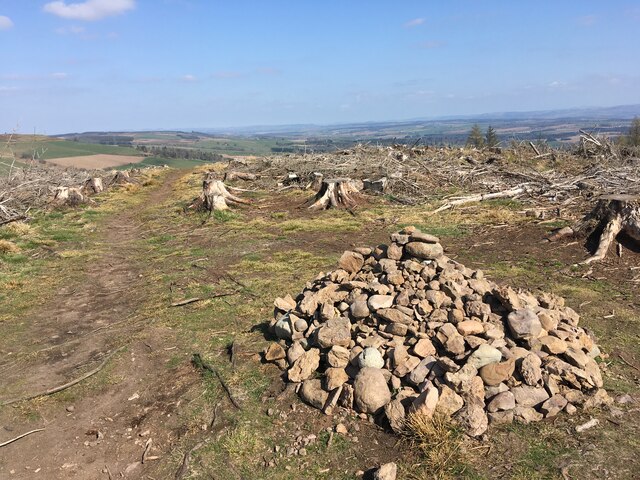
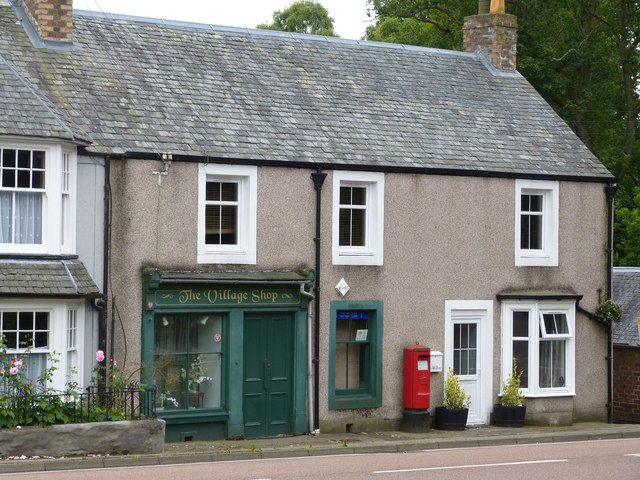
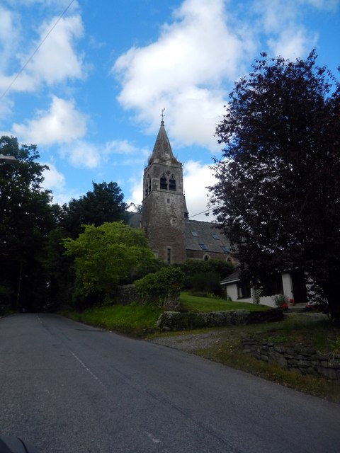
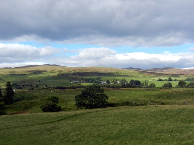
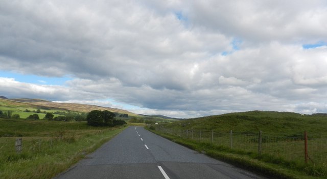
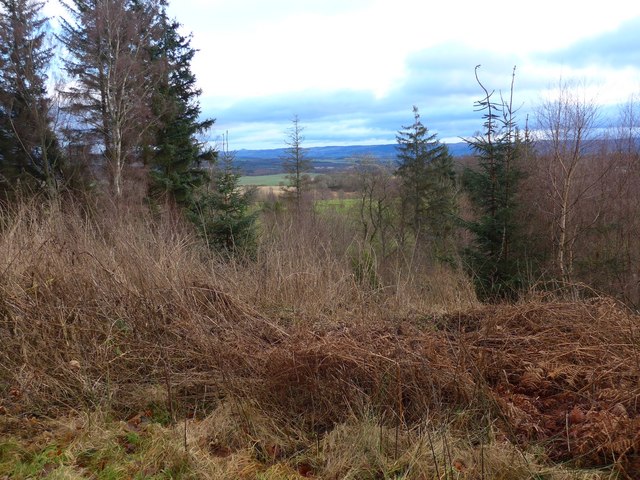
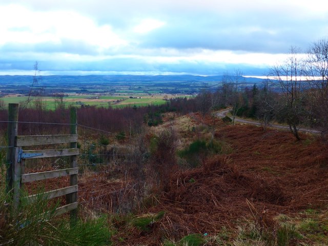
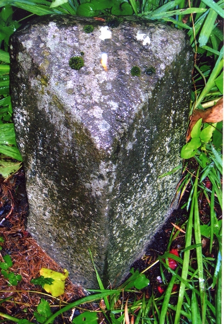
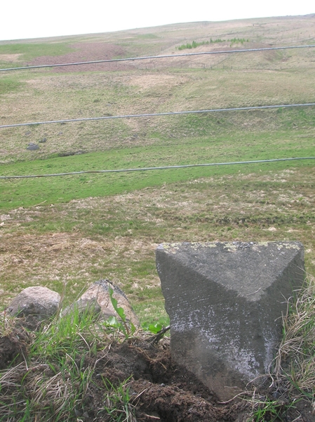
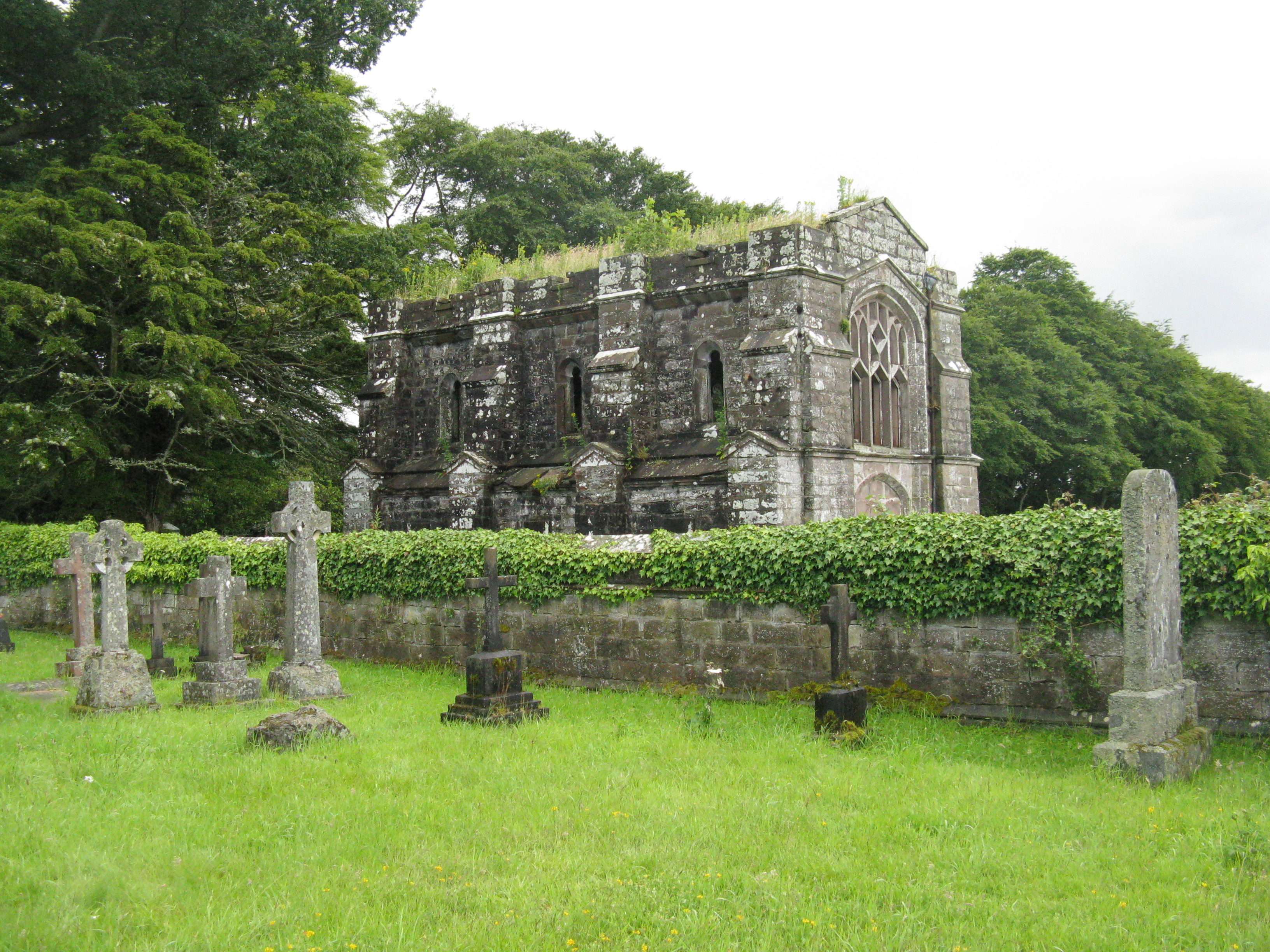
Monzie Castle Images

Images are sourced within 2km of 56.4/-3.823 or Grid Reference NN8724. Thanks to Geograph Open Source API. All images are credited.

Cairn and path at the top of Knock of Crieff
Gilmerton Old Post Office The former Post Office in Gilmerton. The National Savings sign is still in the window
Gilmerton Old Post Office
The former Post Office in Gilmerton. The National Savings sign is still in the window
Looking north on the A822 at Gilmerton in Perthshire With the old kirk dominating the scene.
Looking north on the A822 at Gilmerton in Perthshire
With the old kirk dominating the scene.
The scene around Cuilt Farm at the foot of Milquhanzie Hill Near Monzie in Perthshire.
The scene around Cuilt Farm at the foot of Milquhanzie Hill
Near Monzie in Perthshire.
The A822 heading north At the lands of Ibert Farm near Monzie.
The A822 heading north
At the lands of Ibert Farm near Monzie.
A glimpse of the course at Crieff Golf Club Taken from the Knock track approaching the ruin of Ferntower.
A glimpse of the course at Crieff Golf Club
Taken from the Knock track approaching the ruin of Ferntower.
The ruins of Ferntower A history of the house is here <span class="nowrap"><a title="http://perthshirecrieffstrathearnlocalhistor.blogspot.co.uk/2012/07/story-of-ferntower-house.html" rel="nofollow ugc noopener" href="http://perthshirecrieffstrathearnlocalhistor.blogspot.co.uk/2012/07/story-of-ferntower-house.html">Link</a><img style="margin-left:2px;" alt="External link" title="External link - shift click to open in new window" src="https://s1.geograph.org.uk/img/external.png" width="10" height="10"/></span>
The ruins of Ferntower
A history of the house is here LinkExternal link
The track around Knock of Crieff Looking down over Strathearn.
The track around Knock of Crieff
Looking down over Strathearn.
The path to the viewpoint on Knock of Crieff
Viewpoint on Knock of Crieff Looking towards Ben Chonzie (covered by cloud at this moment).
Viewpoint on Knock of Crieff
Looking towards Ben Chonzie (covered by cloud at this moment).
Looking west-southwest towards Cuilt, 1984 From where I had stopped on the A822 on my way to the youth hostel at Kingussie, where I was to spend the night.
Looking west-southwest towards Cuilt, 1984
From where I had stopped on the A822 on my way to the youth hostel at Kingussie, where I was to spend the night.
Knock of Crieff Viewpoint The viewfinder on the Knock of Crieff looking southwards.
Knock of Crieff Viewpoint
The viewfinder on the Knock of Crieff looking southwards.
Knock of Crieff Summit Pile of stones marking the summit on the Knock of Crieff amidst dark forest.
Knock of Crieff Summit
Pile of stones marking the summit on the Knock of Crieff amidst dark forest.
Viewpoint, Knock of Crieff car park Table depicting the view north-west on the west side of the Knock of Crieff.
Viewpoint, Knock of Crieff car park
Table depicting the view north-west on the west side of the Knock of Crieff.
Entrance to Cultoquhey House
Old Post Office, Gilmerton
Old Milestone by the A822, Highland Road, Gilmerton By the A822, in the parish of Crieff (District), Gilmerton, near telegraph pole at Old Church Cottage.

Inscription once read:-
: (Crieff / 2) : : (Aberfeldy / 21) : 

Surveyed

Milestone Society National ID: PK_AFCF21
Old Milestone by the A822, Highland Road, Gilmerton
By the A822, in the parish of Crieff (District), Gilmerton, near telegraph pole at Old Church Cottage. Inscription once read:- : (Crieff / 2) : : (Aberfeldy / 21) : Surveyed Milestone Society National ID: PK_AFCF21
Old Milestone by the A822 Stone post by the A822, in parish of Crieff (District), North of A85 junction, on narrow verge of long straight.

Surveyed

Milestone Society National ID: PK_AFCF20
Old Milestone by the A822
Stone post by the A822, in parish of Crieff (District), North of A85 junction, on narrow verge of long straight. Surveyed Milestone Society National ID: PK_AFCF20
Show me another place!

Monzie Castle is located at Grid Ref: NN8724 (Lat: 56.4, Lng: -3.823)

Unitary Authority: Perth and Kinross

Police Authority: Tayside

What 3 Words

///intensely.scrapping.stall. Near Crieff, Perth & Kinross

Related Wikis

Monzie Castle

Monzie Castle is a castellated mansion, near Monzie in Perth and Kinross, Scotland that incorporates an L-plan, early 17th-century building that was enlarged...

A822 road

The A822 is a road which runs through Perthshire in Scotland. It runs from the A9 road at Greenloaning, and rejoins the A9 at Dunkeld. It goes through...

Glenturret distillery

Glenturret distillery is two miles (three kilometres) northwest of Crieff in Perthshire, Scotland on the banks of the Turret River. The distillery is...

Ardvreck School

Ardvreck School is an independent boarding and day preparatory school for boys and girls aged 3–13, located in Crieff in Perth and Kinross, Scotland. It...

Crieff Hydro

Crieff Hydro is a hotel in Crieff, Perthshire, Scotland. The purpose-built hotel opened in 1868 as the Crieff Hydropathic Establishment, and is locally...
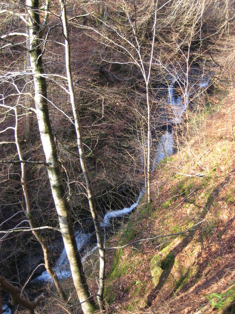
Falls of Barvick

Falls of Barvick is a waterfall in Scotland. It is 492 feet (150 m) at its highest point and has an average width of 20 feet (6.1 m). It is a cascades...

Massacre of Monzievaird

The Scottish Highland Massacre of Monzievaird took place on 21 October 1490, at the church of Monzievaird, at Ochtertyre, near Hosh in Perthshire. Some...

Battle of Knock Mary

The Battle of Knockmary (or Battle of Rottenreoch) was a Scottish clan battle fought in 1511, or 1490 between the Clan Murray against the Clan Drummond...

Nearby Amenities

Located within 500m of 56.4,-3.823
Power: pole
Lat/Long: 56.3998437/-3.8310685
Power: pole
Lat/Long: 56.4001819/-3.8305417
Power: pole
Lat/Long: 56.4008215/-3.8295593
Power: pole
Lat/Long: 56.4011622/-3.8288236
Power: pole
Lat/Long: 56.4016296/-3.8277034
Power: pole
Lat/Long: 56.4021277/-3.8265521
Power: pole
Lat/Long: 56.4024094/-3.8255653
Power: pole
Lat/Long: 56.4026787/-3.8246029
Power: pole
Lat/Long: 56.402734/-3.8236827
Power: pole
Lat/Long: 56.4031227/-3.8224914
Power: pole
Lat/Long: 56.4035249/-3.821309
Power: pole
Lat/Long: 56.4038704/-3.8203177
The data included in this document is from www.openstreetmap.org. The data is made available under ODbL.

Have you been to Monzie Castle?

Leave your review of Monzie Castle below (or comments, questions and feedback).