Dogmill Pond
Lake, Pool, Pond, Freshwater Marsh in Perthshire
Scotland
Dogmill Pond
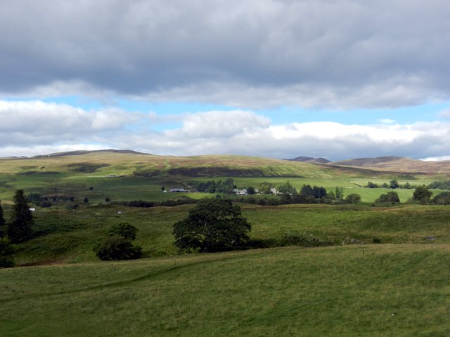
Dogmill Pond is a picturesque freshwater body located in the enchanting region of Perthshire, Scotland. Nestled amidst rolling hills and surrounded by lush green vegetation, this idyllic pond offers a tranquil escape from the hustle and bustle of everyday life.
Covering an area of approximately 2 acres, Dogmill Pond boasts crystal-clear waters that reflect the stunning scenery that surrounds it. The pond is fed by several small streams, ensuring a constant supply of fresh water throughout the year. Its location within a freshwater marsh provides a rich habitat for a variety of plant and animal species.
The pond is home to a diverse range of aquatic plants, including water lilies, reeds, and rushes. These plants not only add to the beauty of the pond but also provide a habitat for various insects, amphibians, and small fish. Bird enthusiasts will delight in the presence of numerous waterfowl, such as ducks, swans, and herons, which often visit the pond.
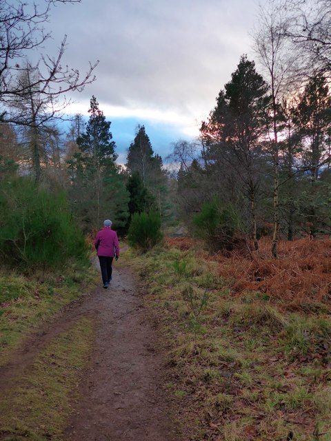
Visitors to Dogmill Pond can enjoy a leisurely stroll along the well-maintained footpath that encircles the pond. The path offers stunning views of the surrounding countryside, allowing visitors to fully immerse themselves in the tranquility of nature. Fishing is also permitted in the pond, with a variety of fish species, including trout and perch, attracting anglers of all skill levels.
With its serene atmosphere and abundant wildlife, Dogmill Pond provides the perfect setting for nature lovers, photographers, and those seeking a peaceful retreat. Whether it's a leisurely walk, birdwatching, or fishing, this hidden gem in Perthshire promises a truly memorable experience for all who visit.
If you have any feedback on the listing, please let us know in the comments section below.
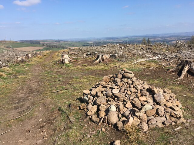
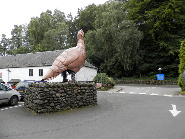
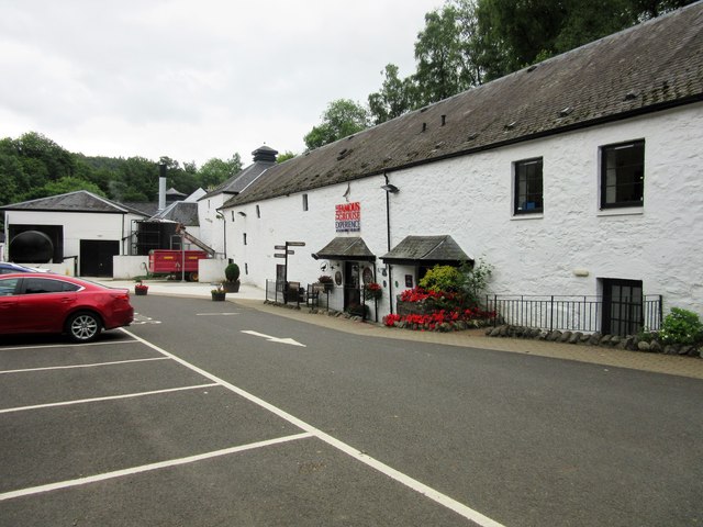
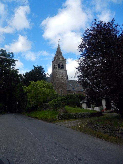
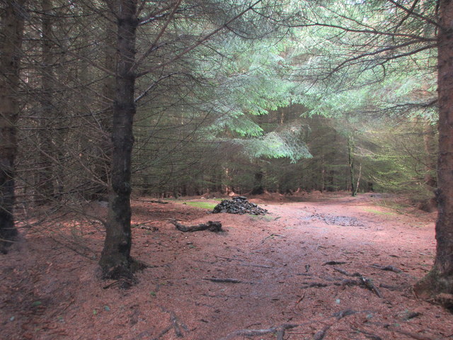
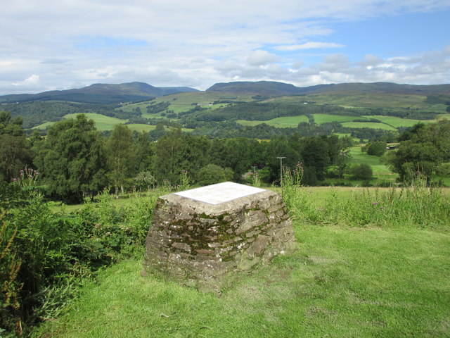
Dogmill Pond Images
Images are sourced within 2km of 56.400905/-3.8309063 or Grid Reference NN8724. Thanks to Geograph Open Source API. All images are credited.


Dogmill Pond is located at Grid Ref: NN8724 (Lat: 56.400905, Lng: -3.8309063)
Unitary Authority: Perth and Kinross
Police Authority: Tayside
What 3 Words
///pouch.ships.tangent. Near Crieff, Perth & Kinross
Nearby Locations
Related Wikis

Monzie Castle
Monzie Castle is a castellated mansion, near Monzie in Perth and Kinross, Scotland that incorporates an L-plan, early 17th-century building that was enlarged...

A822 road
The A822 is a road which runs through Perthshire in Scotland. It runs from the A9 road at Greenloaning, and rejoins the A9 at Dunkeld. It goes through...

Glenturret distillery
Glenturret distillery is two miles (three kilometres) northwest of Crieff in Perthshire, Scotland on the banks of the Turret River. The distillery is...
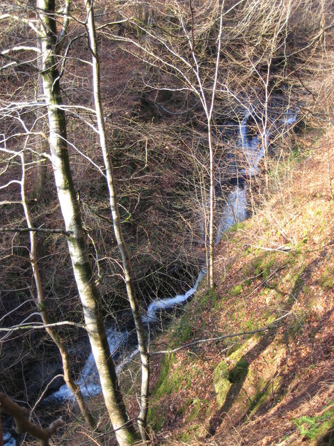
Falls of Barvick
Falls of Barvick is a waterfall in Scotland. It is 492 feet (150 m) at its highest point and has an average width of 20 feet (6.1 m). It is a cascades...
Ardvreck School
Ardvreck School is an independent boarding and day preparatory school for boys and girls aged 3–13, located in Crieff in Perth and Kinross, Scotland. It...
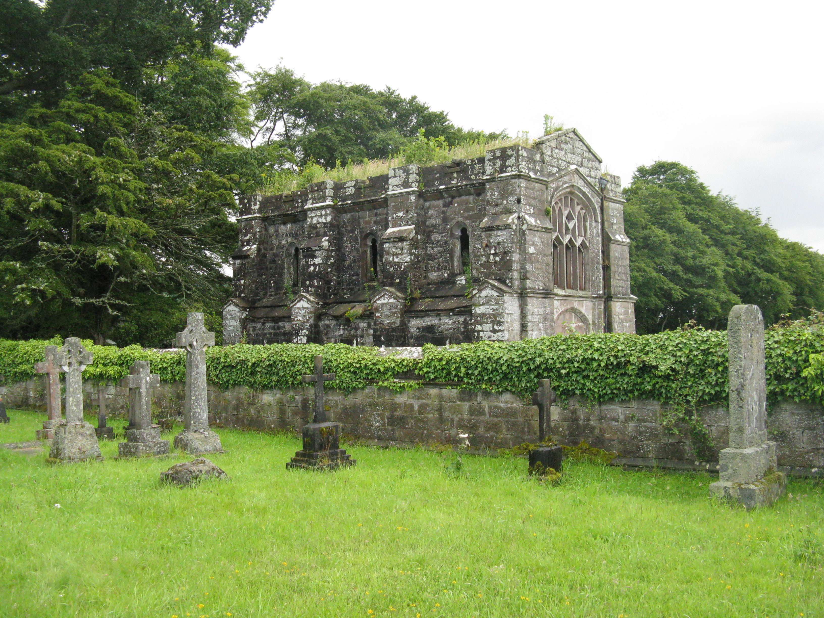
Massacre of Monzievaird
The Scottish Highland Massacre of Monzievaird took place on 21 October 1490, at the church of Monzievaird, at Ochtertyre, near Hosh in Perthshire. Some...

Battle of Knock Mary
The Battle of Knockmary (or Battle of Rottenreoch) was a Scottish clan battle fought in 1511, or 1490 between the Clan Murray against the Clan Drummond...

Crieff Hydro
Crieff Hydro is a hotel in Crieff, Perthshire, Scotland. The purpose-built hotel opened in 1868 as the Crieff Hydropathic Establishment, and is locally...
Nearby Amenities
Located within 500m of 56.400905,-3.8309063Have you been to Dogmill Pond?
Leave your review of Dogmill Pond below (or comments, questions and feedback).