Moel y Gaer
Heritage Site in Denbighshire
Wales
Moel y Gaer
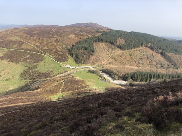
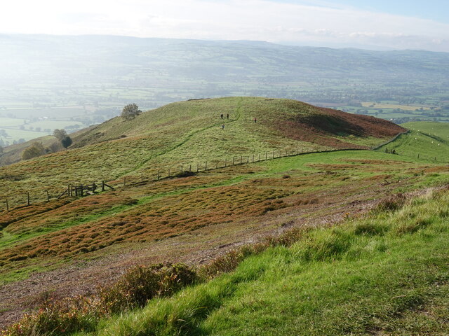
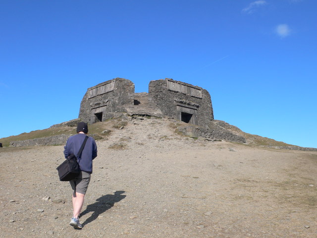
Moel y Gaer is a prominent heritage site located in Denbighshire, Wales. Situated atop a hill, it is a hillfort which dates back to the Iron Age, making it an invaluable archaeological and historical site. The hillfort is believed to have been constructed around 800 BC and was in use until the Roman invasion of Britain in the 1st century AD.
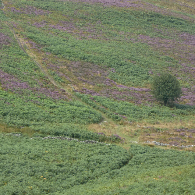
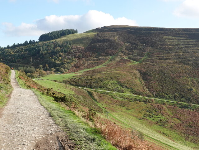
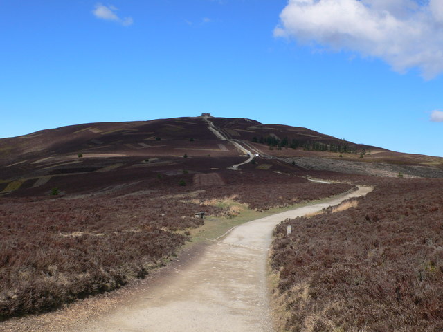
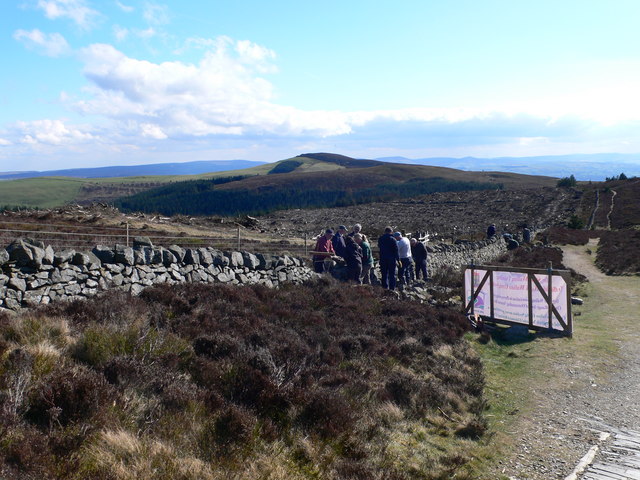
Covering an area of approximately 3.2 hectares, Moel y Gaer offers breathtaking panoramic views of the surrounding countryside. The fortification is surrounded by a series of defensive ramparts and ditches, indicating its strategic importance during its heyday. The remains of stone and timber buildings have also been discovered within the hillfort, providing insights into the daily lives of its inhabitants.
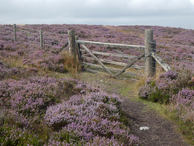
Visitors to Moel y Gaer can explore the site and experience a glimpse into the Iron Age. The hillfort provides an immersive learning experience, allowing visitors to step back in time and understand the lives and activities of the people who once inhabited the area. The site is also popular for its tranquil atmosphere and stunning views, making it a popular destination for nature enthusiasts and photographers.
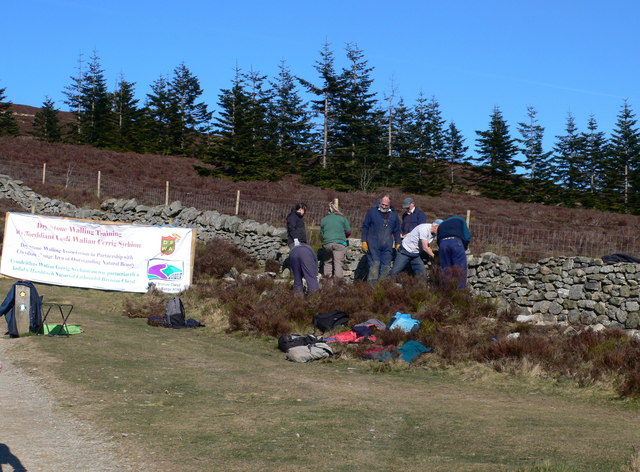
Moel y Gaer is managed and protected by the local authorities, ensuring its preservation for future generations. Information boards and guided tours are available to provide visitors with a deeper understanding of the site's historical significance. Whether one is an archaeology enthusiast or simply seeking a serene getaway, Moel y Gaer is an ideal destination to immerse oneself in Wales' rich cultural heritage.
If you have any feedback on the listing, please let us know in the comments section below.
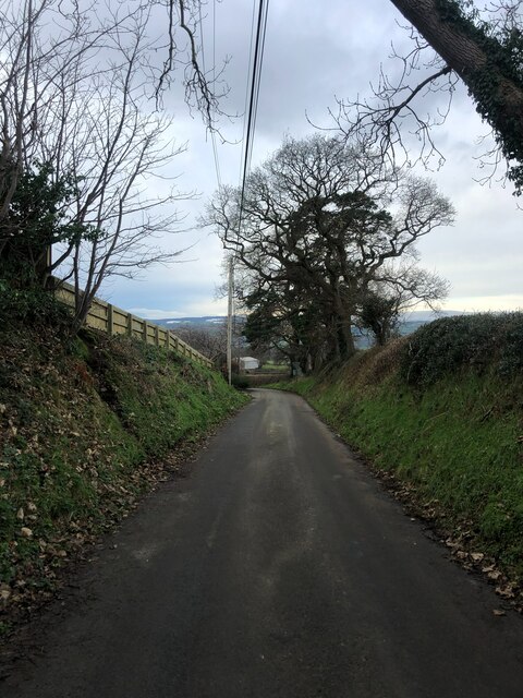
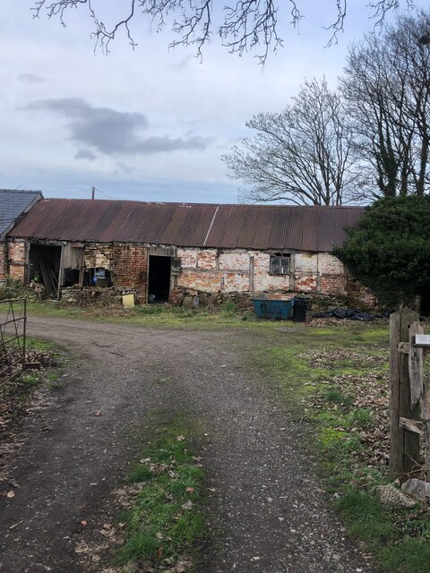
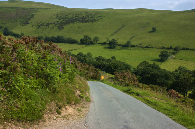
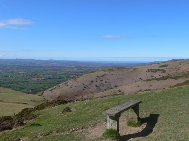
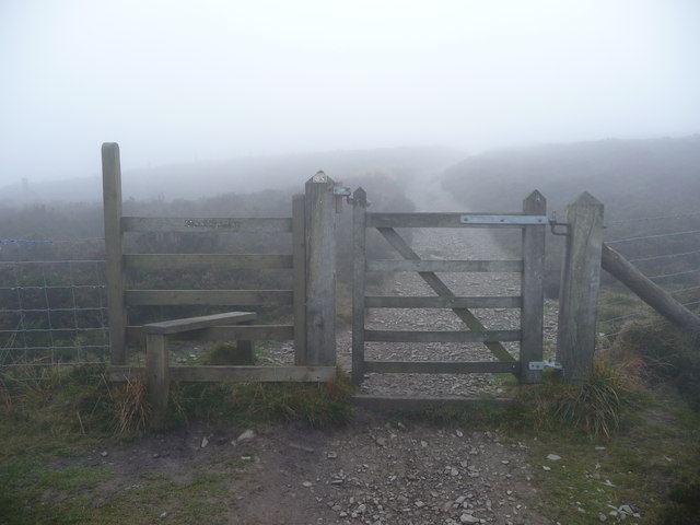
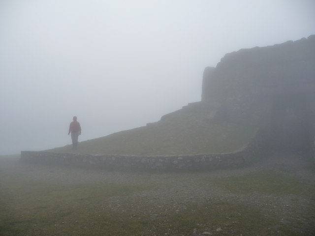
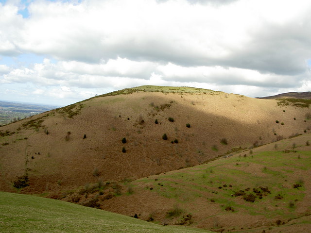
Moel y Gaer Images
Images are sourced within 2km of 53.143/-3.278 or Grid Reference SJ1461. Thanks to Geograph Open Source API. All images are credited.
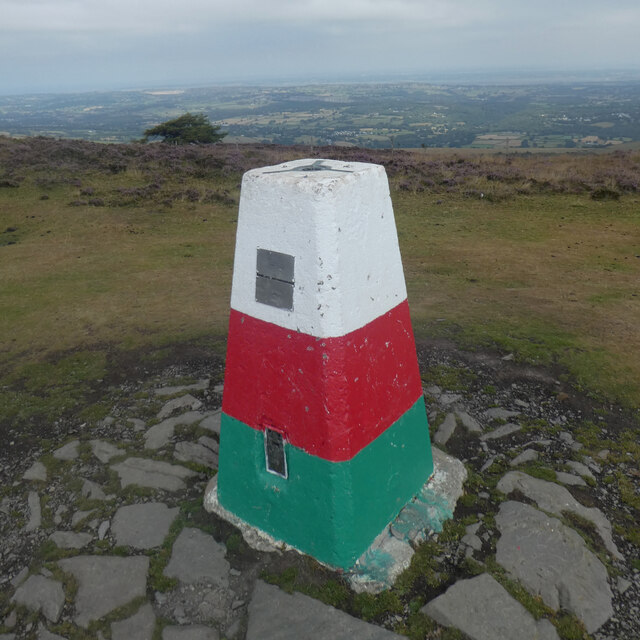
Moel y Gaer is located at Grid Ref: SJ1461 (Lat: 53.143, Lng: -3.278)
Unitary Authority: Denbighshire
Police Authority: North Wales
What 3 Words
///perfumed.decency.scrapped. Near Ruthin, Denbighshire
Nearby Locations
Related Wikis
Moel y Gaer, Llanbedr
Moel y Gaer (Welsh for "bald hill of the fortress"), also known as Moel-y-Gaer Camp or Moel y Gaer Hillfort, is an Iron Age hillfort located on a western...

Llanrhydd
Llanrhydd or Llanrhudd is a parish one and a half miles south-west of Ruthin in Denbighshire, Wales; 'rhudd' being the Welsh name for 'red' – the colour...
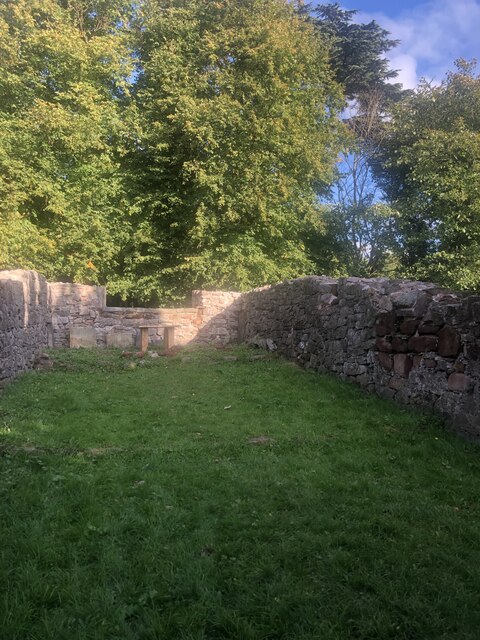
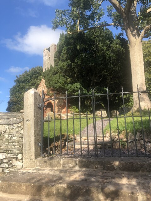
Old St. Peter's Church, Llanbedr Dyffryn Clwyd
Old St Peter's Church a Grade II-listed ruin is situated above the B5429 in the village of Llanbedr Dyffryn Clwyd. It was first mentioned in the Lincoln...
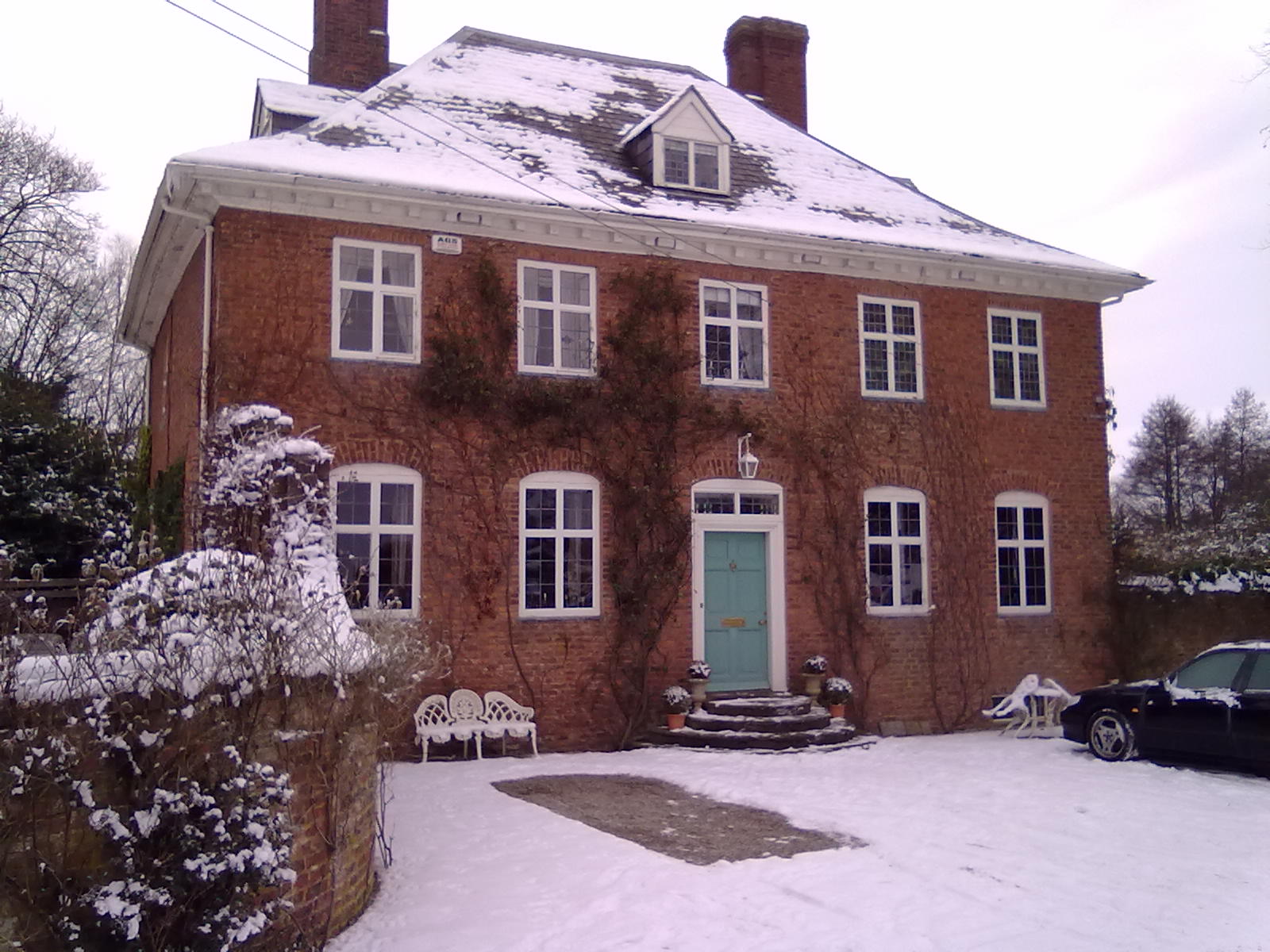
The Old Rectory, Llanbedr
The Old Rectory, Llanbedr is located two miles north-east of the market town of Ruthin, Denbighshire, around 400 m north of the quiet village of Llanbedr...
Related Videos
Hiking up Moel Famau
Recorded 15 July 2021 and shows my hike up Moel Famau. The highest hill in the Clwydian Range.

Hiking Moel famau,north wales clwydian range dji mavic pro
Amazing scenary walking in the clwydian range north wales. Hiking up both moel fenlli and moel famau both overlooking ...

Hiking Wales - Moel Famau & The Jubilee Tower walk
Welcome to Wales!!! A rather typical wet and wild walk with additional 35-40 mph gusts for good measure. A nice 6 mile bimble ...

Hiking to A Unique Summit Tower in Wales!
Welcome back to another Hiking and Photography video! In this weeks video, I make my way across the wonderful Welsh ...
Nearby Amenities
Located within 500m of 53.143,-3.278Have you been to Moel y Gaer?
Leave your review of Moel y Gaer below (or comments, questions and feedback).