Meini Gwyn

Heritage Site in Carmarthenshire

Wales

Meini Gwyn

Road Through the trees are the farm buildings belonging to the un-named farm at SN 475 258.
Road Credit: Dara Jasumani

The requested URL returned error: 429 Too Many Requests

If you have any feedback on the listing, please let us know in the comments section below.
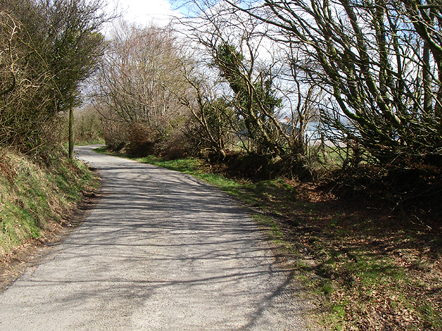
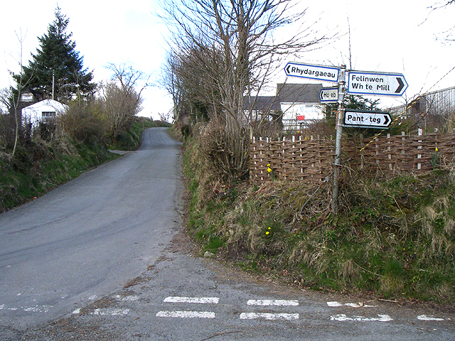
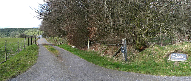
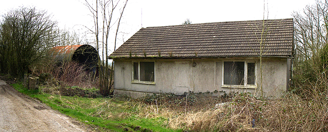
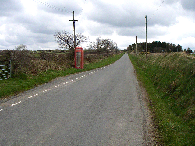
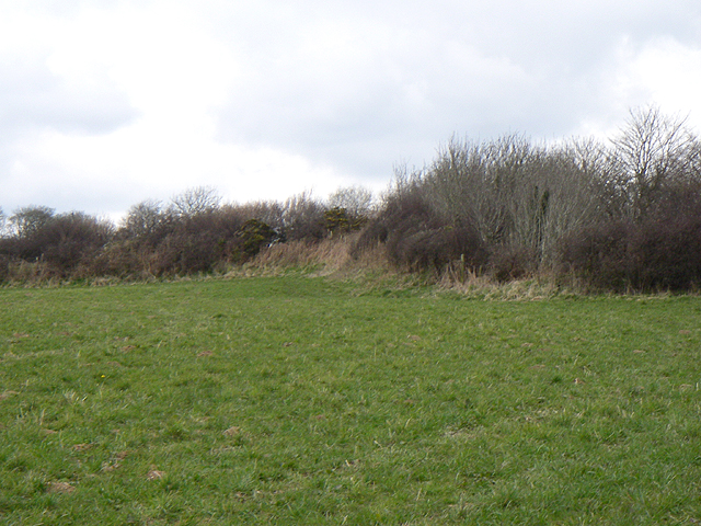
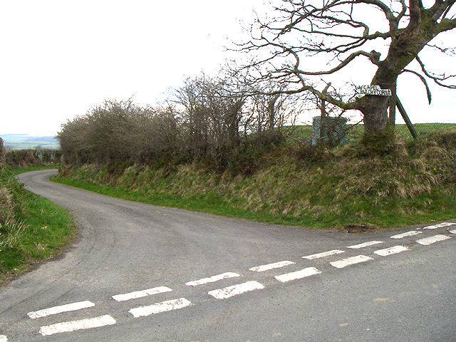
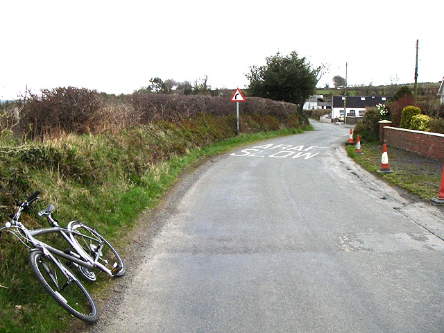
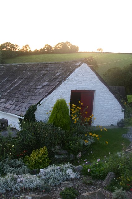
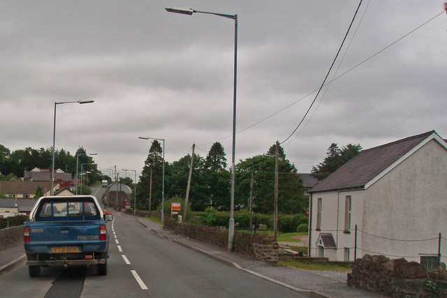
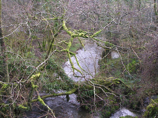
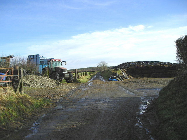
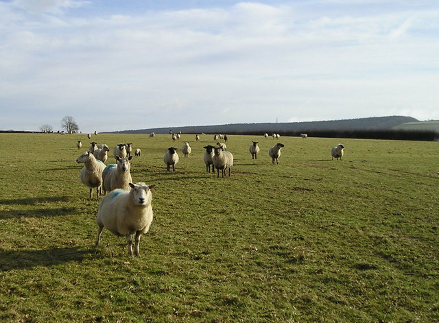
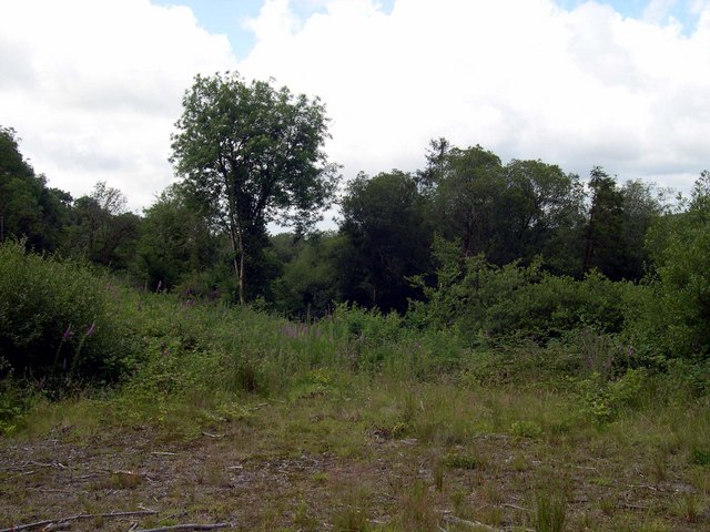
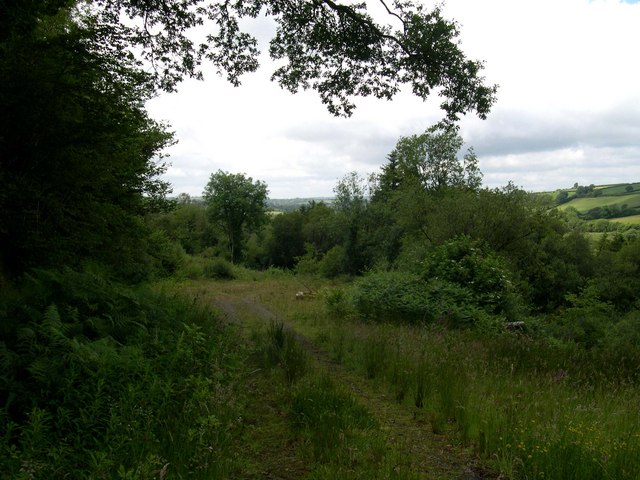
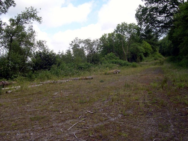
Meini Gwyn Images

Images are sourced within 2km of 51.915/-4.247 or Grid Reference SN4526. Thanks to Geograph Open Source API. All images are credited.

Road Through the trees are the farm buildings belonging to the un-named farm at SN 475 258.
Road
Through the trees are the farm buildings belonging to the un-named farm at SN 475 258.
Junction The junction at SN 464 261 looking north.
Junction
The junction at SN 464 261 looking north.
Lane Looking down the lane to Rhossdu.
Lane
Looking down the lane to Rhossdu.
House This property looks like it's been empty for quite a while.
House
This property looks like it's been empty for quite a while.
Phonebox Looking east. The phonebox is at SN 453 261
Phonebox
Looking east. The phonebox is at SN 453 261
Fort This is the fort at SN 465 258.
 The lane is the other side of the hedgeline and is 6 to 8 feet below this level. Couldn't get a decent shot of the 'embankment' as the lane was too narrow.
Fort
This is the fort at SN 465 258. The lane is the other side of the hedgeline and is 6 to 8 feet below this level. Couldn't get a decent shot of the 'embankment' as the lane was too narrow.
Junction The road junction at SN 446 260.
You can just make out the grassed over reservoir and the water board hut through the hedge.
The sign says 'Capel Bwlch-y-Corn 1/2m'.
Junction
The road junction at SN 446 260. You can just make out the grassed over reservoir and the water board hut through the hedge. The sign says 'Capel Bwlch-y-Corn 1/2m'.
Road Stretch of road at SN 443 259.
Road
Stretch of road at SN 443 259.
Farm Outbuilding at Dusk
Looking north at homes along the main road
Nant Corrwg This is a tributary of the Afon Gwili. In this shady spot, with the high rainfall in this area, there are moss, ferns and ivy encrusting the trunks and branches of the trees.
Nant Corrwg
This is a tributary of the Afon Gwili. In this shady spot, with the high rainfall in this area, there are moss, ferns and ivy encrusting the trunks and branches of the trees.
Winter Silage It is January, and the silage clamp on the right has been opened for the mechanical extraction of the silage. After the grass was cut last summer, polythene sheets weighed down with old tyres were used to compress the grass and squeeze out the air so that it could ferment into silage. The tractor has a trailer behind used for bringing the grass to the clamp, but not at this time of year!
Winter Silage
It is January, and the silage clamp on the right has been opened for the mechanical extraction of the silage. After the grass was cut last summer, polythene sheets weighed down with old tyres were used to compress the grass and squeeze out the air so that it could ferment into silage. The tractor has a trailer behind used for bringing the grass to the clamp, but not at this time of year!
Sheep and Mast It is January and the sheep have eaten most of the grass in this field. They are approaching me because they think I might be the farmer bringing their supplementary feed! In the distance a mast can be seen, situated at the highest point in the area in <a href="https://www.geograph.org.uk/gridref/SN4727">SN4727</a>.
Sheep and Mast
It is January and the sheep have eaten most of the grass in this field. They are approaching me because they think I might be the farmer bringing their supplementary feed! In the distance a mast can be seen, situated at the highest point in the area in SN4727.
Forest clearing Looking towards Beili glas.
Forest clearing
Looking towards Beili glas.
End of forest track.
Track down to turning space on forestry road
Excavations in Brechfa Forest below Rhosddu, Rhydargaeau Road, Carmarthen
Stand laeth ger Capel Bwlchycorn/Milk stand by Bwlchycorn Chapel
Show me another place!

Meini Gwyn is located at Grid Ref: SN4526 (Lat: 51.915, Lng: -4.247)

Unitary Authority: Carmarthenshire

Police Authority: Dyfed Powys

What 3 Words

///smuggled.vented.desiring. Near Carmarthen, Carmarthenshire

Nearby Locations

Meini Gwyn

Related Wikis

Mynydd Ystyfflau-Carn

Mynydd Ystyfflau-Carn is a Site of Special Scientific Interest in Carmarthenshire, Wales. == See also == List of Sites of Special Scientific Interest in...

Rhydargaeau

Rhydargaeau is a village in Carmarthenshire, Wales. It lies along the A485 road which connects it to Pontarsais in the north and Peniel and Carmarthen...

Pontarsais

Pontarsais is a village in Carmarthenshire, Wales, 5 miles (8 km) north of Carmarthen and 57 miles (92 km) miles northwest of Cardiff (Caerdydd). The nearest...

Peniel, Carmarthenshire

Peniel is a small village in Carmarthenshire, Wales.

Related Videos

Forest View Holidays - Ty Ysgubor Walkthrough - Holiday Cottage Sleeps 4 Carmarthenshire

Ty Ysgubor is a self catering holiday cottage on the edge of Brechfa Forest in Carmarthenshire West Wales. The cottage sleeps 4 ...

Nearby Amenities

Located within 500m of 51.915,-4.247
Place: farm
Lat/Long: 51.9110865/-4.2435724
The data included in this document is from www.openstreetmap.org. The data is made available under ODbL.

Have you been to Meini Gwyn?

Leave your review of Meini Gwyn below (or comments, questions and feedback).