Megginch Castle
Heritage Site in Perthshire
Scotland
Megginch Castle
Megginch Castle is a historic estate located in Perthshire, Scotland. Situated near the town of Errol, it is an impressive mansion with a rich history dating back to the 12th century. The castle is set within a beautiful landscape, surrounded by lush gardens and extensive grounds that cover over 1,000 acres.
Originally built as a tower house, Megginch Castle has undergone several transformations over the centuries. The current structure dates back to the 18th century when it was redesigned in the Georgian style by architect James Gillespie Graham. The castle features a magnificent façade with a symmetrical design, adorned with elegant columns and intricate detailing.
The interior of Megginch Castle is equally impressive, boasting grand reception rooms, ornate ceilings, and a stunning central staircase. The castle is home to a remarkable collection of artworks, antique furniture, and historical artifacts, offering visitors a glimpse into the past.
The estate surrounding the castle is a haven for nature lovers, with picturesque woodlands, meandering rivers, and stunning views of the surrounding countryside. Visitors can explore the extensive gardens, which include a walled garden, a woodland walk, and a beautiful rose garden. The estate also features a lake and a deer park, adding to its charm and natural beauty.
Megginch Castle is recognized as a heritage site of national importance in Scotland. It offers guided tours, allowing visitors to delve into its fascinating history and experience the grandeur of the castle and its surroundings.
If you have any feedback on the listing, please let us know in the comments section below.
Megginch Castle Images
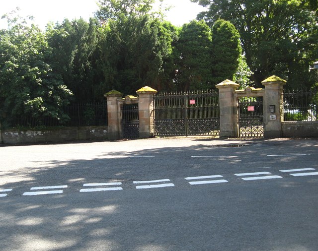
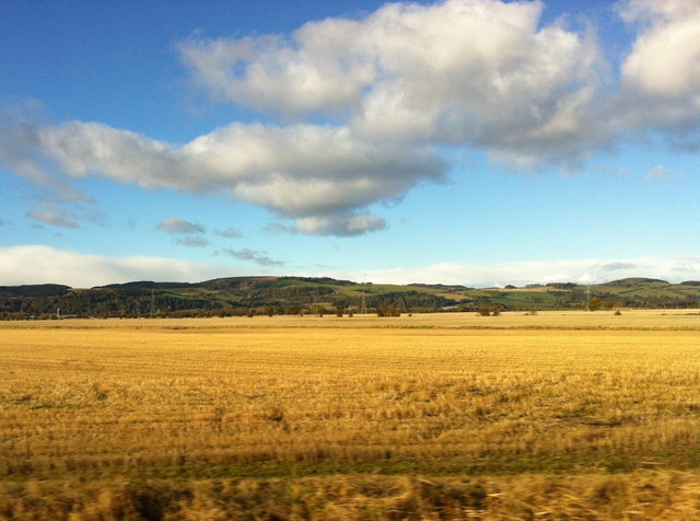
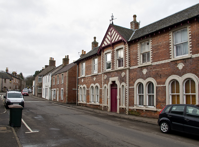
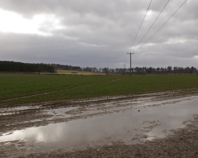
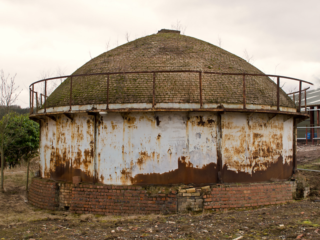
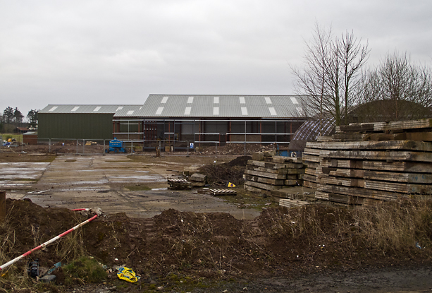
Images are sourced within 2km of 56.407/-3.223 or Grid Reference NO2424. Thanks to Geograph Open Source API. All images are credited.
Megginch Castle is located at Grid Ref: NO2424 (Lat: 56.407, Lng: -3.223)
What 3 Words
///plants.wrenching.fortified. Near Errol, Perth & Kinross
Nearby Locations
Related Wikis

Megginch Castle
Megginch Castle is a 15th-century castle in Perth and Kinross, in central Scotland. It was the family home of Cherry, 16th Baroness Strange. It is now...
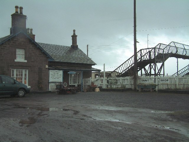
Errol railway station
Errol railway station served the village of Errol, Perth and Kinross, Scotland, from 1847 to 1985 on the Dundee and Perth Railway. == History == The station...

Errol, Perth and Kinross
Errol is a village in Perth and Kinross, Scotland about halfway between Dundee and Perth. It is one of the principal settlements of the Carse of Gowrie...

RAF Errol
Royal Air Force Errol or more simply RAF Errol is a former Royal Air Force station located near the village of Errol in Perth & Kinross, Scotland, on the...
Nearby Amenities
Located within 500m of 56.407,-3.223Have you been to Megginch Castle?
Leave your review of Megginch Castle below (or comments, questions and feedback).