Maes y Gaer
Heritage Site in Caernarfonshire
Wales
Maes y Gaer
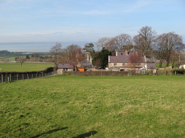
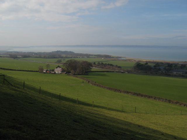
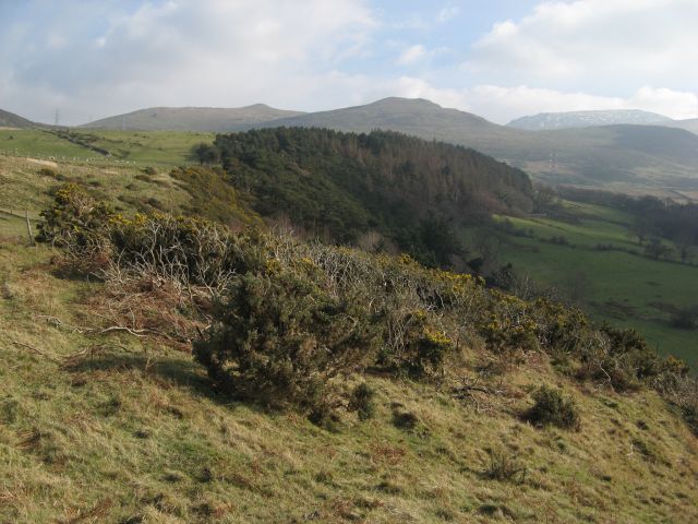
Maes y Gaer is a historic heritage site situated in Caernarfonshire, Wales. It is located on a hilltop near the village of Llanbedr-y-Cennin, offering breathtaking views of the surrounding countryside and the Snowdonia National Park. This site holds immense historical significance, dating back to the Iron Age.
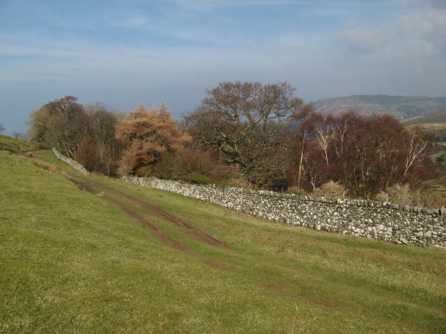
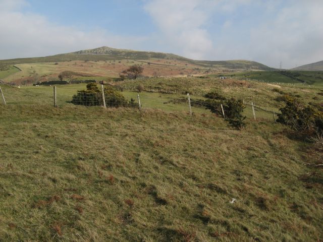
The highlight of Maes y Gaer is its well-preserved hillfort, which served as a defensive fortification during ancient times. The fort occupies an area of approximately 2.8 hectares and is encircled by multiple earthwork ramparts and ditches. These defensive features were constructed using local stone and earth, showcasing the engineering skills of the Iron Age inhabitants.
Archaeological excavations at Maes y Gaer have uncovered various artifacts, including pottery, metalwork, and tools, providing valuable insights into the daily life of the people who once occupied this hillfort. These findings indicate that the site was inhabited from the 1st century BCE until the Roman conquest of Wales in the 1st century CE.
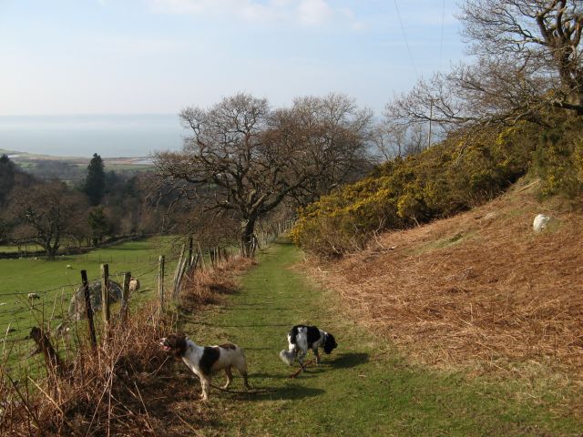
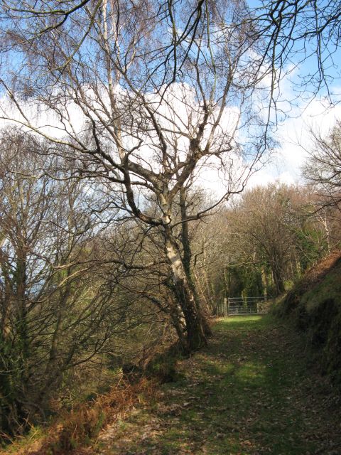
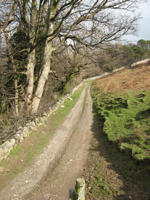
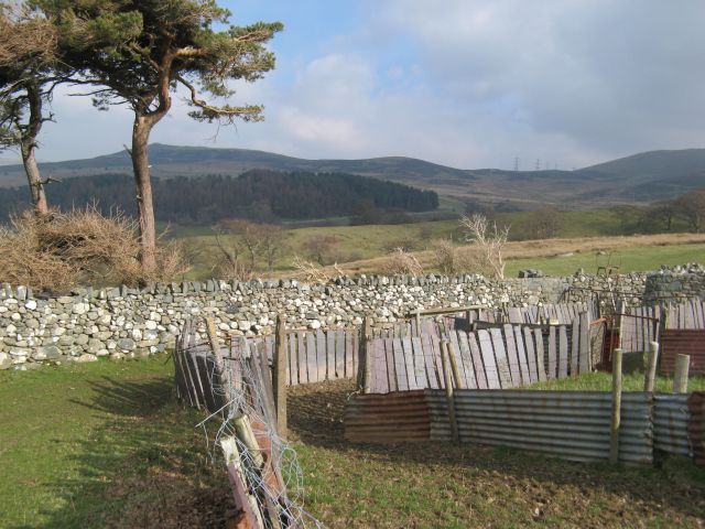
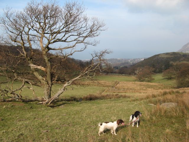
Visitors to Maes y Gaer can explore the remains of the hillfort and imagine the lives of its ancient inhabitants. The site is easily accessible through a well-maintained footpath, and informative signage provides historical context for visitors. Additionally, the panoramic views from the hilltop offer a stunning backdrop for those interested in photography or simply appreciating the natural beauty of the area.
Overall, Maes y Gaer is a fascinating heritage site in Caernarfonshire, showcasing the intriguing history and archaeological significance of Wales' Iron Age hillforts.
If you have any feedback on the listing, please let us know in the comments section below.
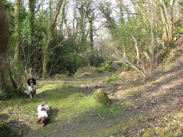
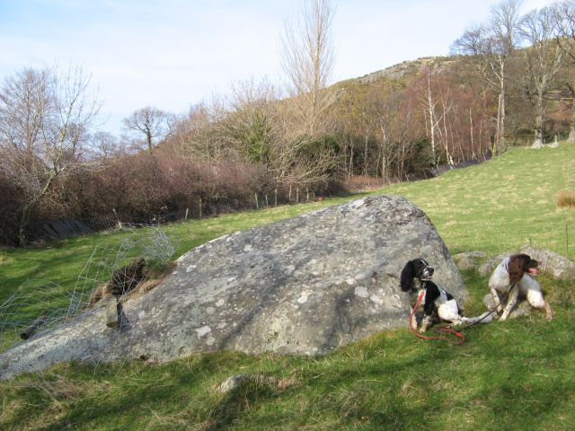
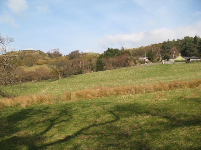
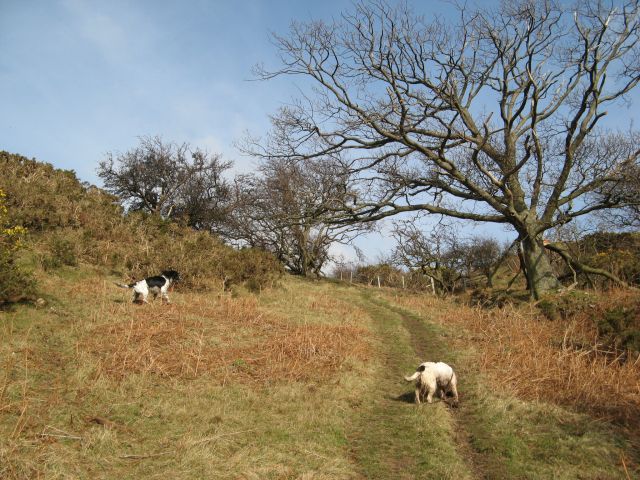
Maes y Gaer Images
Images are sourced within 2km of 53.232/-4 or Grid Reference SH6672. Thanks to Geograph Open Source API. All images are credited.
Maes y Gaer is located at Grid Ref: SH6672 (Lat: 53.232, Lng: -4)
Unitary Authority: Gwynedd
Police Authority: North Wales
What 3 Words
///widely.testy.stages. Near Aber, Gwynedd
Nearby Locations
Related Wikis

Anafon River
The Anafon River, or Afon Anafon, is a river in Gwynedd, Wales, that flows into the Afon Aber. It originates on the slopes of Foel-fras and the Drum of...

Pen y Bryn
Pen y Bryn is a two-storey manor house, in Abergwyngregyn, Gwynedd, in north-west Wales, adjacent to the A55, five miles east of Bangor and eight miles...
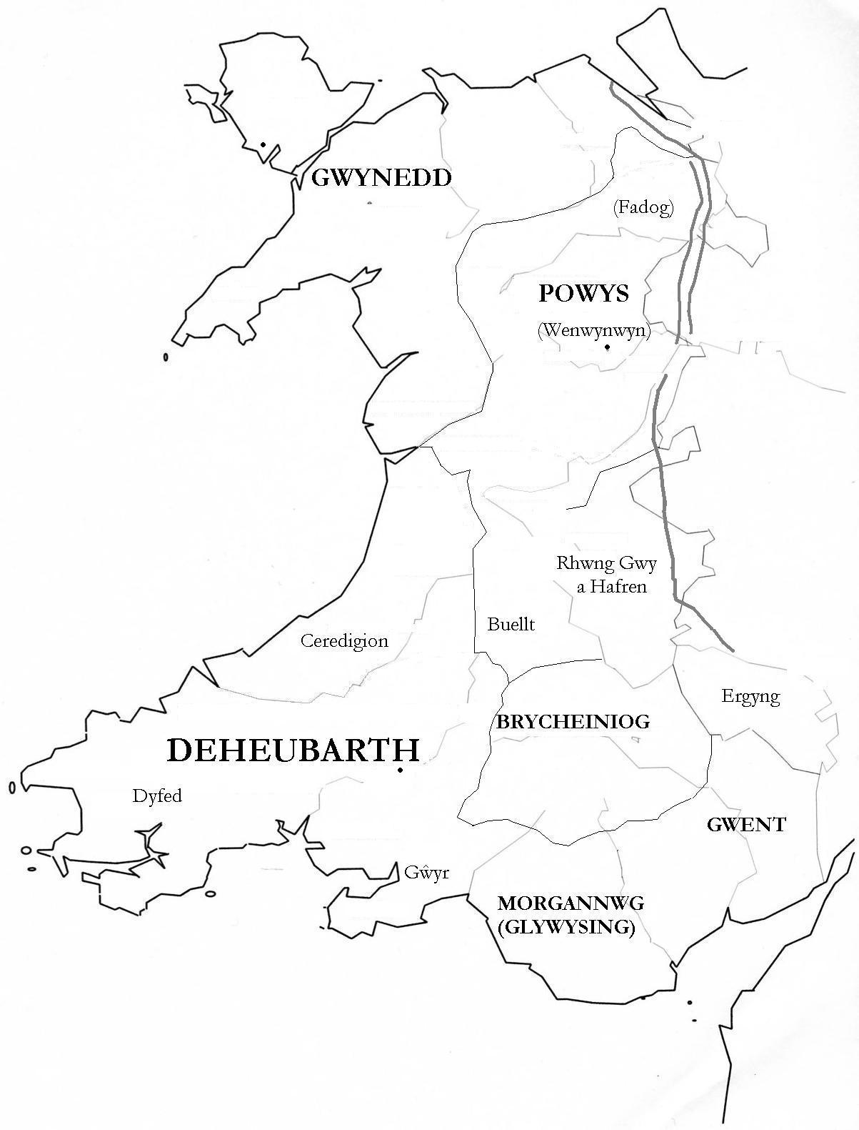
Kingdom of Ceredigion
The Kingdom of Ceredigion was one of several Welsh kingdoms that emerged in post-Roman Britain in the mid-5th century. Cardigan Bay to the west and the...

Powys Wenwynwyn
Powys Wenwynwyn or Powys Cyfeiliog was a Welsh kingdom which existed during the high Middle Ages. The realm was the southern portion of the former princely...
Kingdom of Powys
The Kingdom of Powys (Welsh: Teyrnas Powys; Latin: Regnum Poysiae) was a Welsh successor state, petty kingdom and principality that emerged during the...
Seisyllwg
Seisyllwg (Welsh: [sɛiˈsəɬʊɡ]) was a petty kingdom of medieval Wales. It is unclear when it emerged as a distinct unit, but according to later sources...
Glywysing
Glywysing was, from the sub-Roman period to the Early Middle Ages, a petty kingdom in south-east Wales. Its people were descended from the Iron Age tribe...
Abergwyngregyn
Abergwyngregyn (Welsh: [abɛrɡwɨnˈɡrɛɡɨn]) is a village and community of historical note in Gwynedd, a county and principal area in Wales. Under its historic...
Nearby Amenities
Located within 500m of 53.232,-4Have you been to Maes y Gaer?
Leave your review of Maes y Gaer below (or comments, questions and feedback).