Maesbury Castle
Heritage Site in Somerset Mendip
England
Maesbury Castle
Maesbury Castle, located in Somerset, England, is a fascinating heritage site that holds significant historical importance. This ancient hillfort stands atop a steep ridge on the eastern edge of the Quantock Hills, offering breathtaking views of the surrounding countryside.
Believed to have been constructed during the Iron Age, Maesbury Castle covers an expansive area of approximately 4.5 hectares. The fortification consists of a series of concentric earthworks and ramparts, showcasing the engineering skills of its ancient inhabitants. The innermost enclosure is oval-shaped and encompasses a spacious central area, while three outer ramparts provide additional defense.
Archaeological excavations have revealed evidence of occupation within the fort during the Iron Age and Roman periods. The site is thought to have served as a significant stronghold, potentially acting as a regional center of power and trade. Discoveries of pottery, coins, and other artifacts have provided valuable insights into the daily lives of those who once called Maesbury Castle home.
Despite its rich history, the castle's purpose and exact chronology remain a subject of debate among historians. Some speculate that it may have been occupied as a defensive structure or a place of refuge, while others argue that it primarily served as a statement of power and prestige.
Today, Maesbury Castle is open to the public, offering visitors a chance to explore its ancient walls and enjoy the stunning views from its vantage point. The site serves as a reminder of the region's rich cultural heritage, inviting visitors to delve into the mysteries of its past.
If you have any feedback on the listing, please let us know in the comments section below.
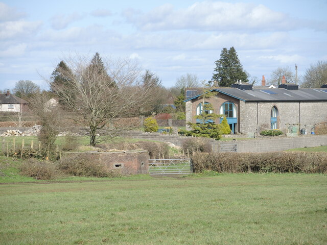
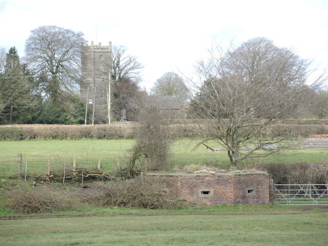
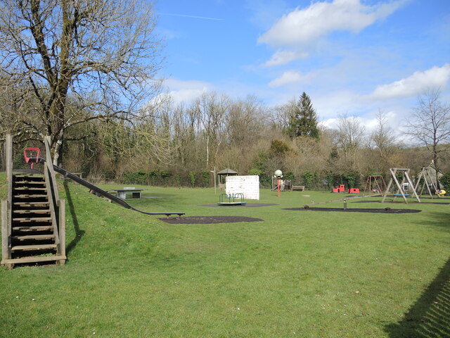
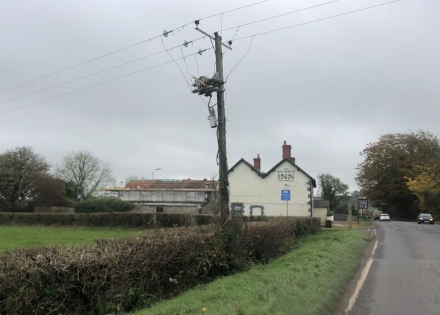
Maesbury Castle Images
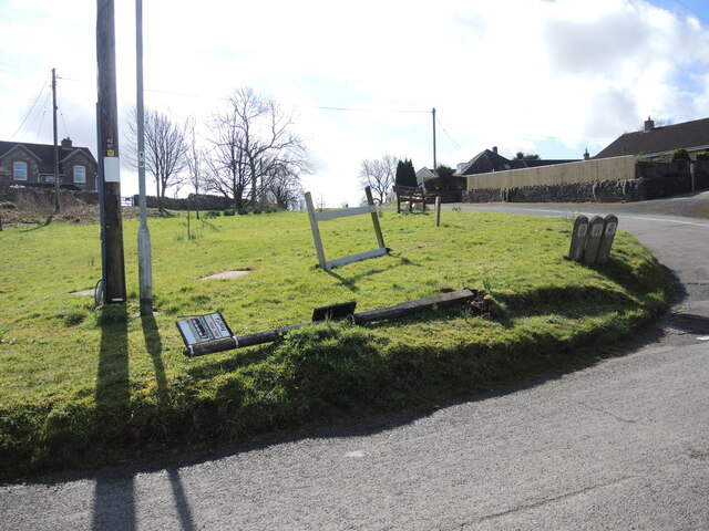
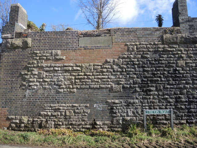
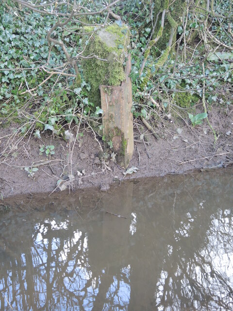
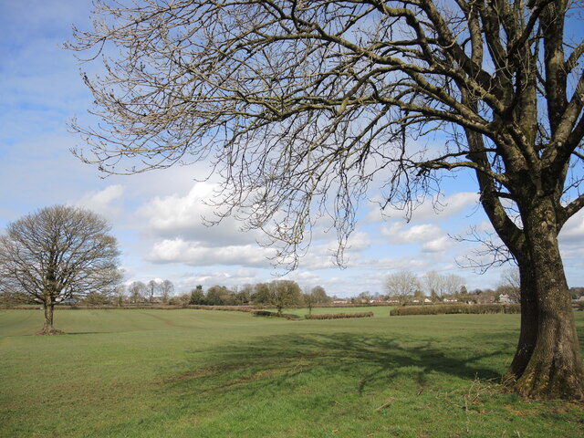
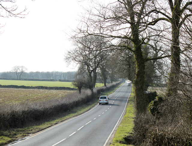
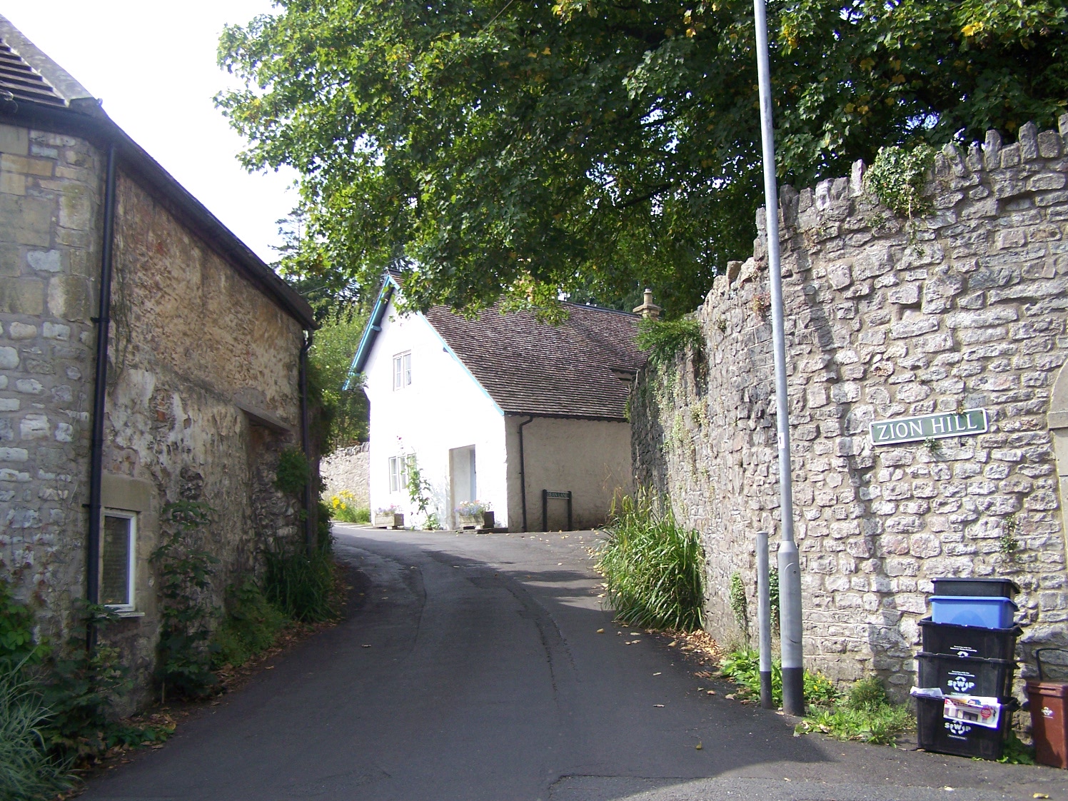
Images are sourced within 2km of 51.225/-2.552 or Grid Reference ST6147. Thanks to Geograph Open Source API. All images are credited.


Maesbury Castle is located at Grid Ref: ST6147 (Lat: 51.225, Lng: -2.552)
Administrative County: Somerset
District: Mendip
Police Authority: Avon and Somerset
What 3 Words
///supple.ambitions.dressings. Near Shepton Mallet, Somerset
Nearby Locations
Related Wikis

Maesbury Castle
Maesbury Castle is an Iron Age hill fort within the parish of Croscombe on the Mendip Hills, just north of Shepton Mallet, Somerset, England. It has been...

Maesbury Railway Cutting
Maesbury Railway Cutting (grid reference ST606475) is a 2 hectare geological Site of Special Scientific Interest between East Horrington and Gurney Slade...
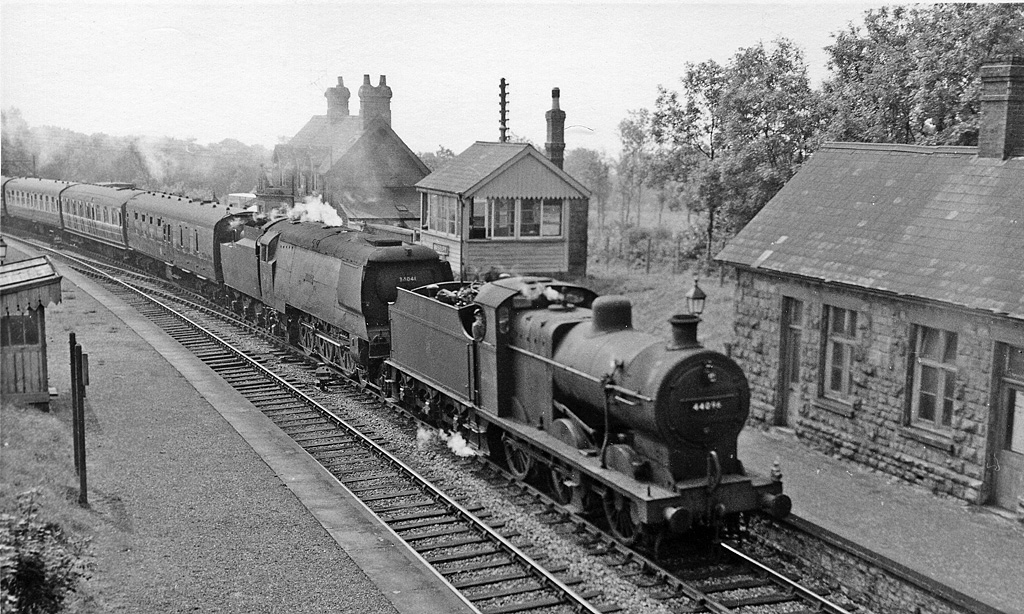
Masbury railway station
Masbury railway station was a small isolated station on the Somerset and Dorset Joint Railway's main line between Evercreech Junction and Bath. It was...

Binegar railway station
Binegar railway station was a station on the Somerset and Dorset Joint Railway in the county of Somerset in England. Opened on 20 July 1874, the station...
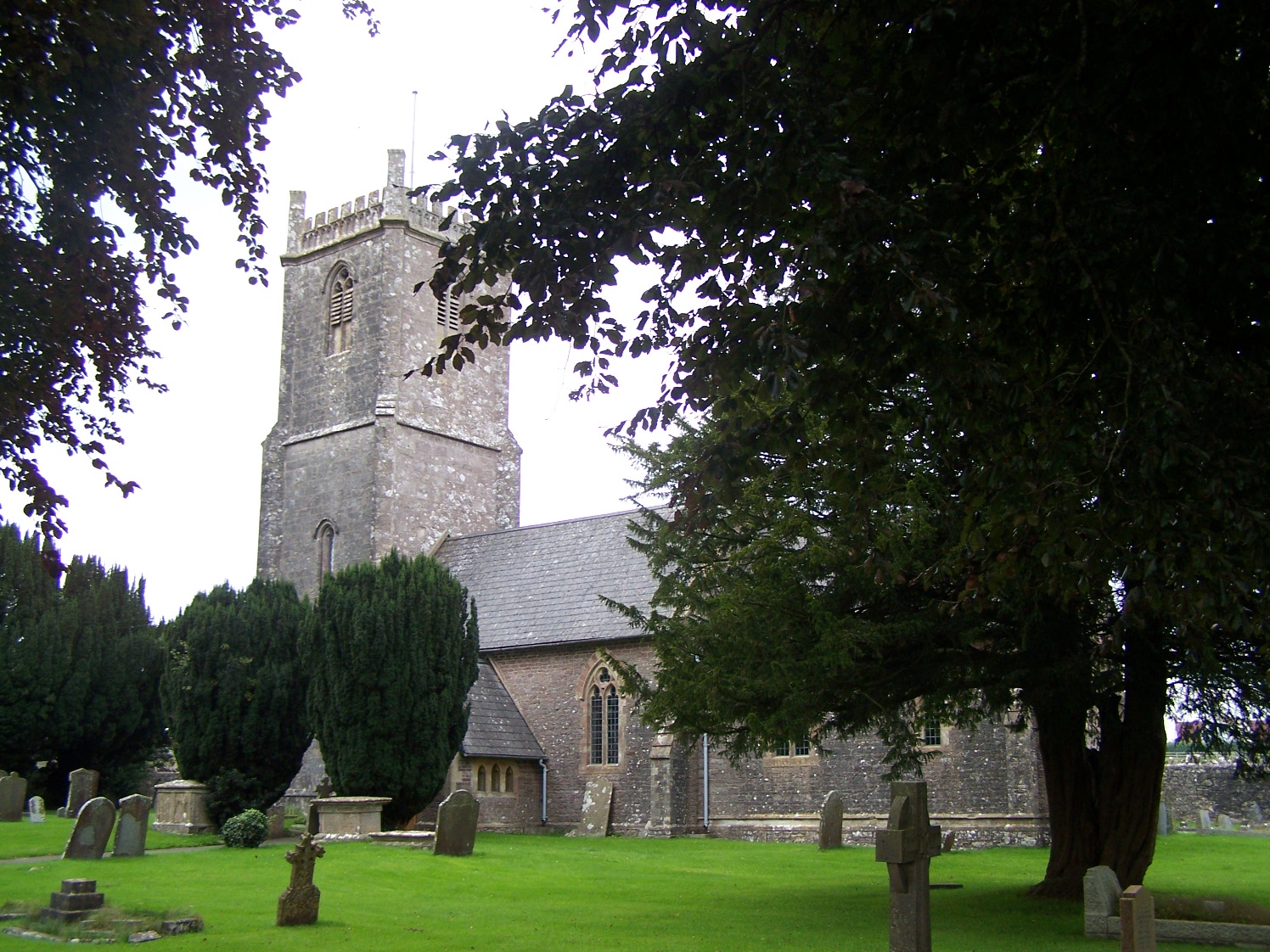
Church of the Holy Trinity, Binegar
The Anglican Church of the Holy Trinity, Binegar, Somerset, England is Norman but has been rebuilt and restored several times since. It is a Grade II*...
Thrupe Lane Swallet
Thrupe Lane Swallet (grid reference ST603458) is a 0.5 hectares (1.2 acres) geological Site of Special Scientific Interest in Somerset, notified in 1992...
Oakhill
Oakhill is a village in the Mendip district of Somerset, England, in Ashwick parish approximately 2.5 miles (4 km) north of Shepton Mallet. It lies between...

Binegar
Binegar is a small village and civil parish in Somerset, England. It is located on the A37, 4 miles (6.4 km) east of Wells, between Shepton Mallet and...
Nearby Amenities
Located within 500m of 51.225,-2.552Have you been to Maesbury Castle?
Leave your review of Maesbury Castle below (or comments, questions and feedback).