Lower Huxley Hall

Heritage Site in Cheshire

England

Lower Huxley Hall

River Gowey River Gowey seen from Huxley Bridge.
River Gowey Credit: Peter McDermott

Lower Huxley Hall is a historic manor house located in the picturesque village of Lower Huxley in Cheshire, England. This magnificent Grade II listed building is a prominent heritage site that showcases the architectural and cultural history of the region.

The hall dates back to the 17th century and was originally built in a traditional Jacobean style. It has undergone several renovations and additions over the years, resulting in a unique blend of architectural influences, including Georgian and Victorian elements. The exterior of the building features a stunning red brick façade with intricate stone detailing, while the interior boasts grand rooms with ornate plasterwork, elegant fireplaces, and beautifully carved wooden paneling.

Surrounded by well-manicured gardens and sprawling grounds, Lower Huxley Hall offers visitors a glimpse into the opulent lifestyle of the English gentry. The estate is home to a number of outbuildings, including a coach house and stables, which have been preserved to maintain the historical integrity of the property.

Today, Lower Huxley Hall serves as a private residence, but it occasionally opens its doors to the public for special events and guided tours. Visitors can explore the grand reception rooms, stroll through the picturesque gardens, and learn about the fascinating history of the hall and its previous occupants.

Lower Huxley Hall stands as a testament to the rich heritage of Cheshire and offers a captivating experience for history enthusiasts and architectural admirers alike.

If you have any feedback on the listing, please let us know in the comments section below.

Lower Huxley Hall Images

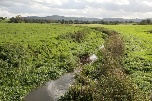
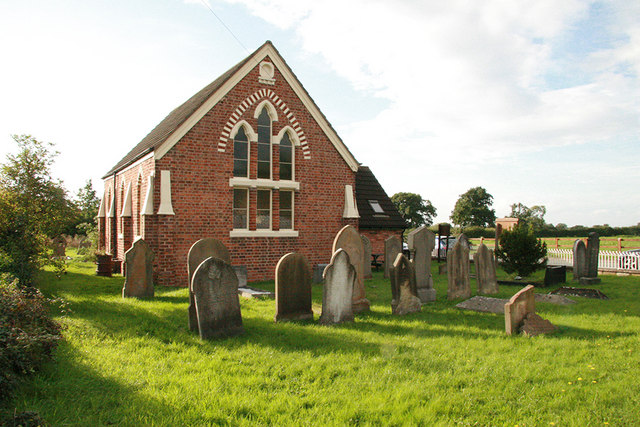
Images are sourced within 2km of 53.157/-2.755 or Grid Reference SJ4962. Thanks to Geograph Open Source API. All images are credited.

River Gowey River Gowey seen from Huxley Bridge.
River Gowey
River Gowey seen from Huxley Bridge.
View from Leadgate Farm towards Southley Brook. Leadgate Farm (behind the photographer) is in the N of the parish of Huxley - mostly dairy farming, with free-range chickens. The image shows the fields dropping down (bearing 160 deg) towards Southley Brook , beyond which lies the main village. Huxley footpath 10 runs beside the hedge down to the brook.
View from Leadgate Farm towards Southley Brook.
Leadgate Farm (behind the photographer) is in the N of the parish of Huxley - mostly dairy farming, with free-range chickens. The image shows the fields dropping down (bearing 160 deg) towards Southley Brook , beyond which lies the main village. Huxley footpath 10 runs beside the hedge down to the brook.
Huxley Chapel Huxley Jubilee Methodist Chapel A.D. 1860. A pleasant little primitive methodist chapel in the village of Huxley near Tarporley Cheshire.
Huxley Chapel
Huxley Jubilee Methodist Chapel A.D. 1860. A pleasant little primitive methodist chapel in the village of Huxley near Tarporley Cheshire.
River Gowy and its plain near Huxley The River Gowy and its plain looking to the Peckforton Hills where it rises close to the source of the River Weaver. While the Weaver flows south initially, the Gowy flows north and for several miles provides the valley used by the Shropshire Union Canal. It runs just to the east of Chester and passes under the Manchester Ship Canal to meet the Mersey near Stanlow.
River Gowy and its plain near Huxley
The River Gowy and its plain looking to the Peckforton Hills where it rises close to the source of the River Weaver. While the Weaver flows south initially, the Gowy flows north and for several miles provides the valley used by the Shropshire Union Canal. It runs just to the east of Chester and passes under the Manchester Ship Canal to meet the Mersey near Stanlow.
River Gowy looking north from Huxley Bridge A view downstream of the River Gowy as it makes its way across the Cheshire Plain to where it joins the River Mersey at Stanlow
River Gowy looking north from Huxley Bridge
A view downstream of the River Gowy as it makes its way across the Cheshire Plain to where it joins the River Mersey at Stanlow
Eddisbury Way near Hoofield From Hoofield Lane the Eddisbury Way heads out to Hoofield Covert before turning south west and meeting up with the lane again at Huxley.
Eddisbury Way near Hoofield
From Hoofield Lane the Eddisbury Way heads out to Hoofield Covert before turning south west and meeting up with the lane again at Huxley.
Paddocks near The Smithy, Hoofield Looking north west across farmland just off the road between Burton and Hoofield.
Paddocks near The Smithy, Hoofield
Looking north west across farmland just off the road between Burton and Hoofield.
Pile of Horseshoes The tall column is actually a pile of horseshoes adjacent to the old smithy near Hoofield.  The smithy is out of sight to the right, and four grid squares meet very close to this point.
Pile of Horseshoes
The tall column is actually a pile of horseshoes adjacent to the old smithy near Hoofield. The smithy is out of sight to the right, and four grid squares meet very close to this point.
Hoofield Road in light snow Photograph looking East along the road through the hamlet of Hoofield from just by the 50p Shop.  The house at the end has a notably tall chimney in the local estate style.
Hoofield Road in light snow
Photograph looking East along the road through the hamlet of Hoofield from just by the 50p Shop. The house at the end has a notably tall chimney in the local estate style.
Brook House, Huxley
Brook House, Huxley
Park Lane A cul-de-sac road leading to Bretton Farm
Park Lane
A cul-de-sac road leading to Bretton Farm
Eddisbury Way near Hoofield Part of the Eddisbury Way, which goes between Frodsham and Burwardsley. This path follows the edge of the field to the edge of Hoofield Covert.
Eddisbury Way near Hoofield
Part of the Eddisbury Way, which goes between Frodsham and Burwardsley. This path follows the edge of the field to the edge of Hoofield Covert.
Corkscrew Lane at Hoofield The lane to Clotton twists and turns - hence the name, perhaps?
Corkscrew Lane at Hoofield
The lane to Clotton twists and turns - hence the name, perhaps?
Road in Hoofield The signpost points down Corkscrew Lane to Clotton.
Road in Hoofield
The signpost points down Corkscrew Lane to Clotton.
On the Eddisbury Way The stile is marked with a waymark for the Eddisbury Way, which leaves Corkscrew Lane at this point.
On the Eddisbury Way
The stile is marked with a waymark for the Eddisbury Way, which leaves Corkscrew Lane at this point.
Burton Hall "Said to be of 1569. A very interesting house..." (Pevsner). From the footpath that skirts it.
Burton Hall
"Said to be of 1569. A very interesting house..." (Pevsner). From the footpath that skirts it.
Unnamed stream near Burton From the footpath from Burton Hall (visible in the distance to the left).
Unnamed stream near Burton
From the footpath from Burton Hall (visible in the distance to the left).
Waterless Brook Far from waterless on this spring afternoon; the footpath from Burton Hall crosses this footbridge.
Waterless Brook
Far from waterless on this spring afternoon; the footpath from Burton Hall crosses this footbridge.
Show me another place!

Lower Huxley Hall is located at Grid Ref: SJ4962 (Lat: 53.157, Lng: -2.755)

Unitary Authority: Cheshire West and Chester

Police Authority: Cheshire

What 3 Words

///stealing.renewals.leave. Near Waverton, Cheshire

Related Wikis

Lower Huxley Hall

Lower Huxley Hall is a moated manor house in Cheshire, England, located about 6.5 miles (10 km) southeast of Chester. It lies roughly halfway between...

Foulk Stapleford

Foulk Stapleford is a former civil parish, now in the parish of Hargrave and Huxley, in the unitary authority of Cheshire West and Chester and the ceremonial...

Hargrave, Cheshire

Hargrave is a village in the civil parish of Hargrave and Huxley (before 2015, Foulk Stapleford), the unitary authority of Cheshire West and Chester, and...

St Peter's Church, Hargrave

St Peter's Church is in the village of Hargrave, Cheshire, England. It is recorded in the National Heritage List for England as a designated Grade II*...

Clotton Hoofield

Clotton Hoofield is a civil parish in the Borough of Cheshire West and Chester and ceremonial county of Cheshire in England. It has a population of 308...

Huxley, Cheshire

Huxley is a small rural village and former civil parish, now in the parish of Hargrave and Huxley, in the Cheshire West and Chester district, and ceremonial...
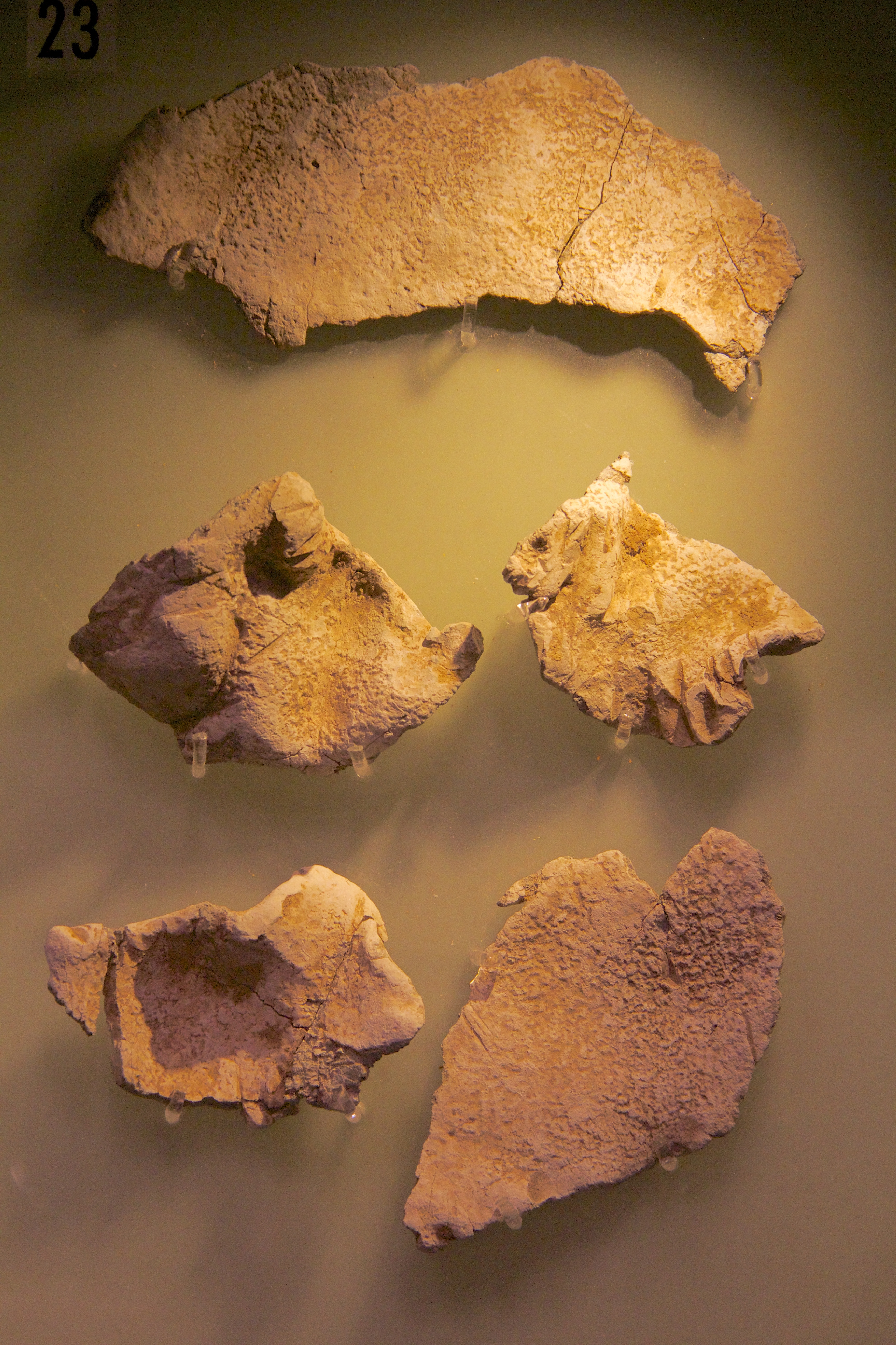
Huxley Hoard

The Huxley Hoard is a hoard of Viking jewellery from around 900-910 found buried near Huxley, Cheshire, England. It consists of 21 silver bracelets, one...

Burton Hall

Burton Hall is in the small village of Burton, 2 miles (3 km) to the southeast of the larger village of Tarvin, Cheshire, England. It is recorded in the...

Nearby Amenities

Located within 500m of 53.157,-2.755
Barrier: stile
Bicycle: no
Foot: yes
Horse: no
Motor Vehicle: no
Lat/Long: 53.1567569/-2.7543485
Post Box
Brand: Royal Mail
Brand Wikidata: Q638098
Brand Wikipedia: en:Royal Mail
Collection Times: Mo-Fr 09:00; Sa 07:00, Su off
Drive Through: no
Operator: Royal Mail
Operator Wikidata: Q638098
Post Box Type: lamp
Ref: CH3 284D
Lat/Long: 53.1544211/-2.7571537
The data included in this document is from www.openstreetmap.org. The data is made available under ODbL.

Have you been to Lower Huxley Hall?

Leave your review of Lower Huxley Hall below (or comments, questions and feedback).