Lower Harford Village
Heritage Site in Gloucestershire
England
Lower Harford Village
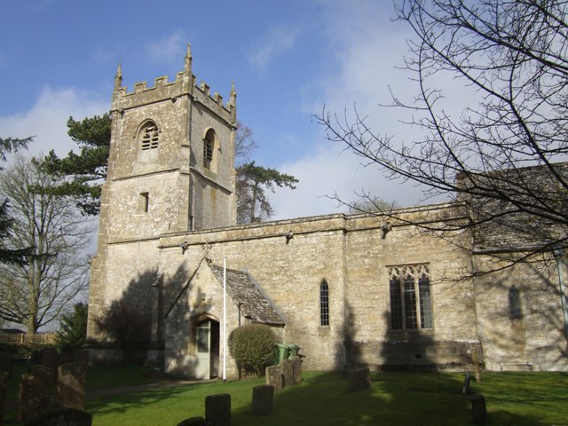
Lower Harford Village is a charming heritage site located in the county of Gloucestershire, England. Nestled amidst the picturesque countryside, this village showcases a rich history that dates back centuries. Its well-preserved buildings and quaint streets provide visitors with a glimpse into the past.
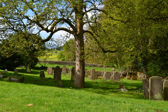
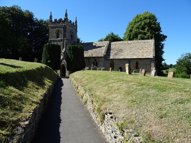
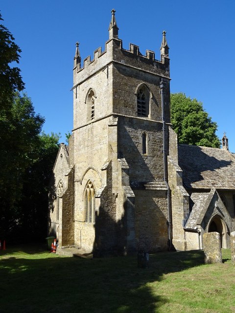
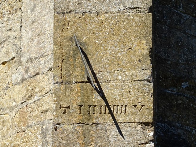
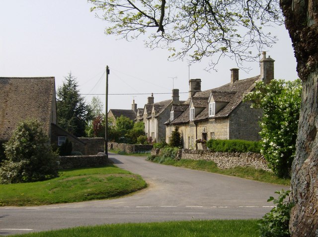
The village is characterized by its traditional Cotswold stone houses, which exude a timeless charm. These structures, some of which date back to the 17th century, have retained their original architectural features, such as thatched roofs, timber frames, and intricate detailing. As a result, Lower Harford Village has been listed as a heritage site by the local authorities, ensuring its preservation for future generations.
Visitors to Lower Harford Village can explore the narrow lanes and alleys, which are lined with beautifully manicured gardens and delightful flower displays. The village green, a focal point of community activity, is a tranquil space where locals and visitors can relax and enjoy the peaceful surroundings.
Additionally, there are several amenities and attractions in the village that cater to tourists. These include traditional pubs serving locally brewed ales and hearty meals, artisan shops selling handmade crafts and souvenirs, and tea rooms offering delicious homemade treats.
Lower Harford Village is not only a destination for history enthusiasts and architecture lovers but also a gateway to the surrounding countryside. The village is situated in close proximity to the Cotswold Area of Outstanding Natural Beauty, offering visitors the opportunity to explore scenic trails, rolling hills, and picturesque villages nearby.
In conclusion, Lower Harford Village is a captivating heritage site that offers visitors a unique experience of stepping back in time. With its well-preserved buildings, charming streets, and connections to the beautiful Cotswold countryside, it is a must-visit destination for those seeking a taste of England's rich history and natural beauty.
If you have any feedback on the listing, please let us know in the comments section below.
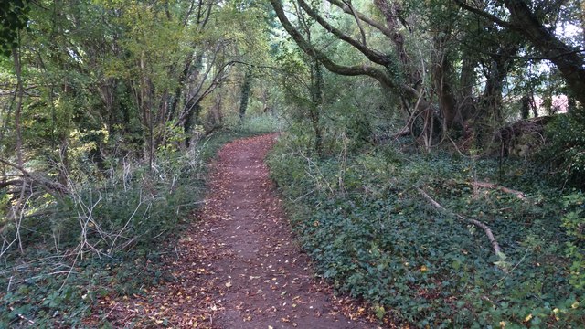
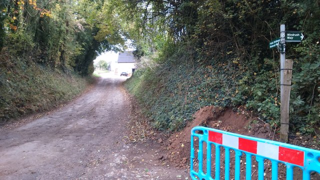
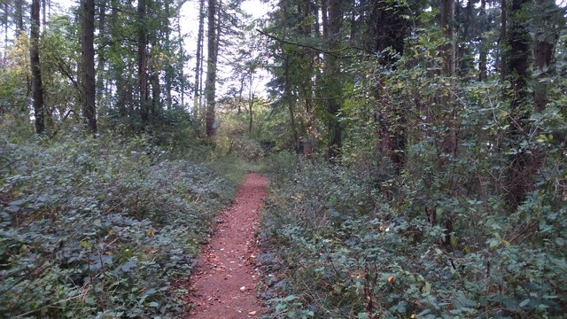
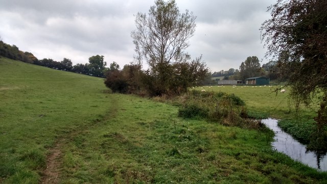
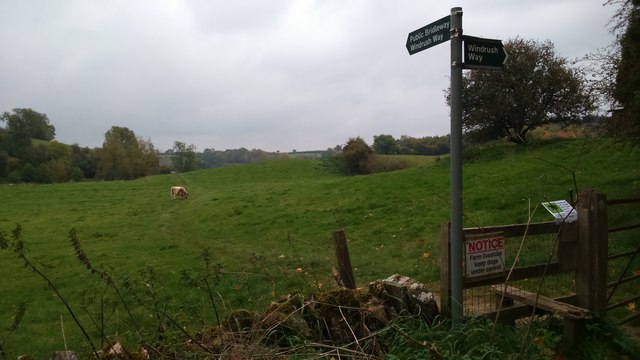
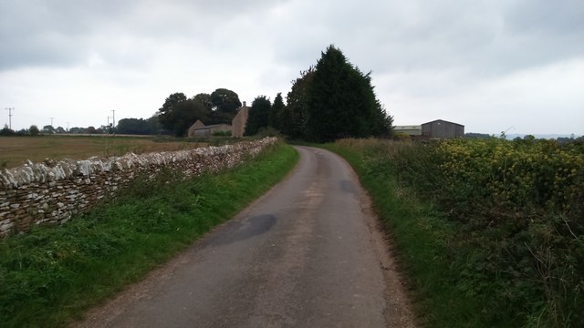
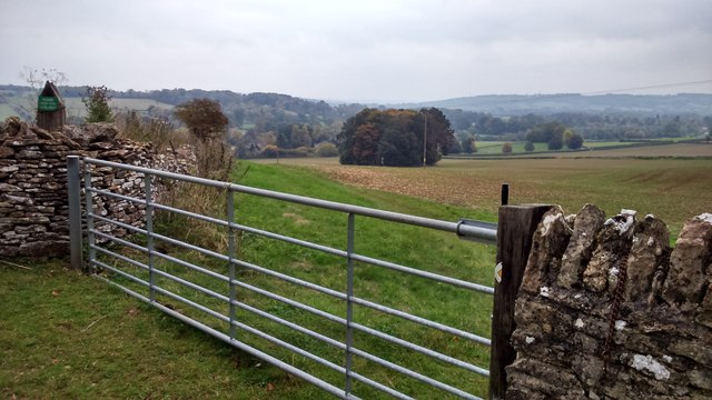
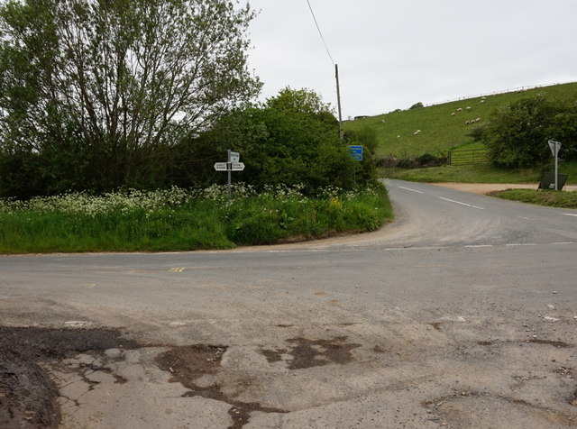
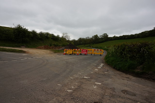
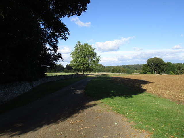
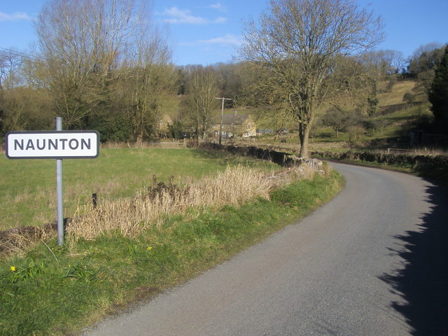
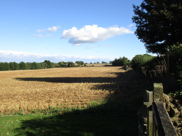
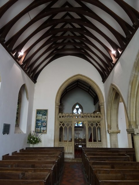
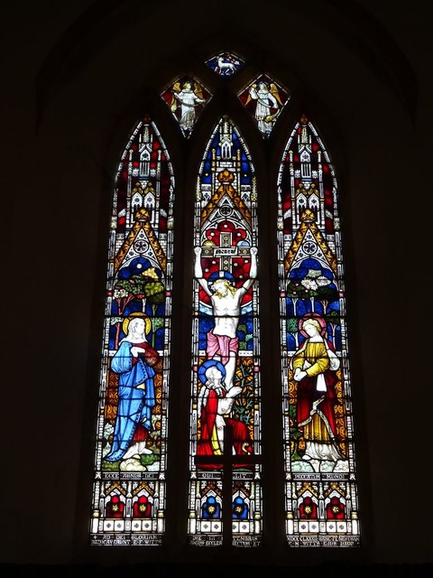
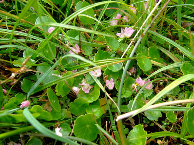
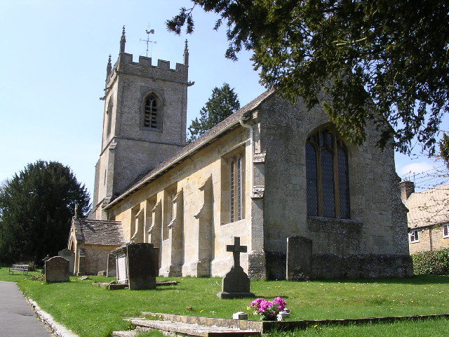
Lower Harford Village Images
Images are sourced within 2km of 51.9/-1.803 or Grid Reference SP1322. Thanks to Geograph Open Source API. All images are credited.
Lower Harford Village is located at Grid Ref: SP1322 (Lat: 51.9, Lng: -1.803)
What 3 Words
///corporate.slam.fled. Near Bourton on the Water, Gloucestershire
Nearby Locations
Related Wikis
Brassey SSSI
Brassey (grid reference SP139223) is a 2.1-hectare (5.2-acre) biological Site of Special Scientific Interest in Gloucestershire, notified in 1954 and renotified...

Harford Railway Cutting
Harford Railway Cutting (SP135218 to SP141215) is a 1.2-hectare (3.0-acre) geological Site of Special Scientific Interest in Gloucestershire, notified...

Upper Slaughter
Upper Slaughter is a village in the Cotswold district of Gloucestershire, England, 4 miles (6.4 km) south west of Stow-on-the-Wold. The village lies off...

Lower Slaughter
Lower Slaughter is a village in the Cotswold district of Gloucestershire, England, 4 miles (6.4 km) south west of Stow-on-the-Wold. The village is built...

Naunton
Naunton is a village in Gloucestershire, England. It lies on the River Windrush in the Cotswolds, an area of outstanding natural beauty. Stow-on-the-Wold...
St Andrew's Church, Naunton
St Andrew's Church is an Anglican parish church in Naunton, Gloucestershire, dedicated to St Andrew the Apostle. == History == Dating from the 13th century...
Church of St Andrew, Cold Aston
The Anglican St Andrew's Church at Cold Aston in the Cotswold District of Gloucestershire, England was built in the 12th century. It is a grade I listed...
Cold Aston
Cold Aston (also known as Aston Blank) is a village and civil parish in Gloucestershire, England, approximately 18 miles (29 km) to the east of Gloucester...
Nearby Amenities
Located within 500m of 51.9,-1.803Have you been to Lower Harford Village?
Leave your review of Lower Harford Village below (or comments, questions and feedback).