Low Cross
Heritage Site in Yorkshire Ryedale
England
Low Cross
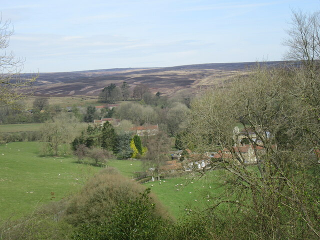
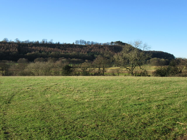
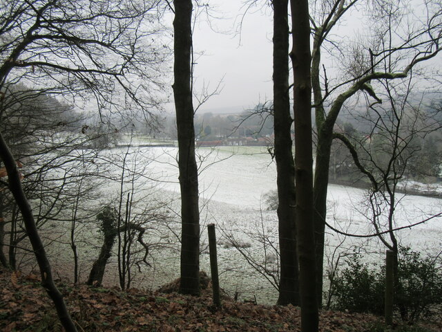
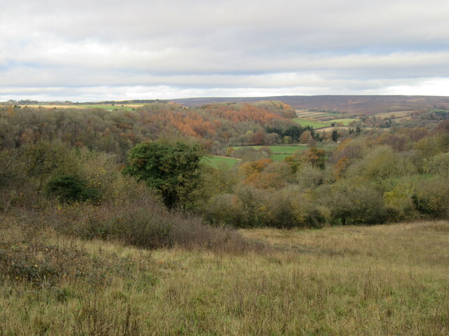
Low Cross is a historic village located in the picturesque region of Yorkshire, England. It is renowned for its rich heritage and is classified as a Heritage Site by the local authorities. The village is surrounded by rolling hills, verdant meadows, and charming countryside, providing a stunning backdrop to its historical sites.
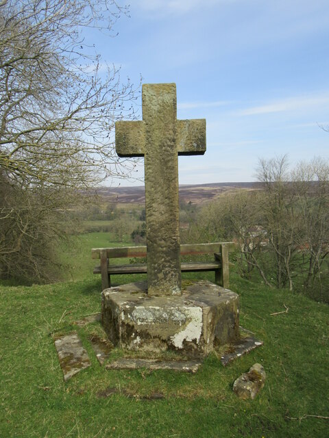
One of the main attractions in Low Cross is the ancient cross that gave the village its name. The cross is believed to date back to the 12th century and is made of local stone, standing tall and proud in the village center. It serves as a reminder of the village's medieval origins and has become an iconic symbol of Low Cross.
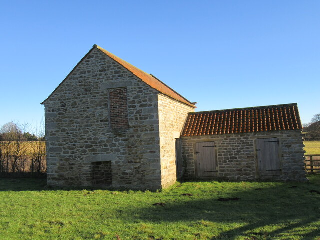
Visitors to Low Cross can also explore the well-preserved historic buildings that line its quaint streets. Many of these buildings have been lovingly restored and showcase various architectural styles, ranging from Tudor to Georgian. These structures offer a glimpse into the village's past and provide a charming atmosphere for visitors to immerse themselves in.
Additionally, Low Cross boasts a small but informative heritage museum, where visitors can learn more about the village's history. The museum houses a collection of artifacts, photographs, and documents that depict life in Low Cross throughout the centuries. It provides a fascinating insight into the village's cultural and social development, offering visitors a deeper appreciation for its heritage.
Overall, Low Cross in Yorkshire is a captivating destination for history enthusiasts and those seeking a tranquil countryside experience. Its ancient cross, well-preserved buildings, and informative museum make it a must-visit heritage site in the region.
If you have any feedback on the listing, please let us know in the comments section below.
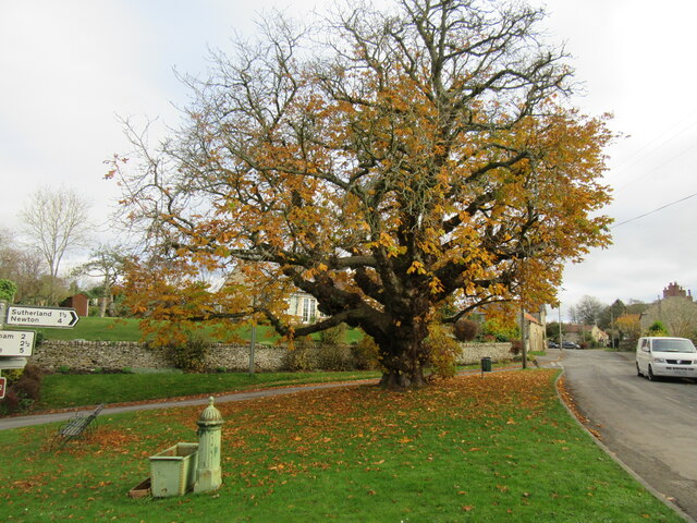
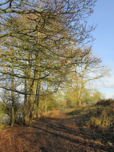
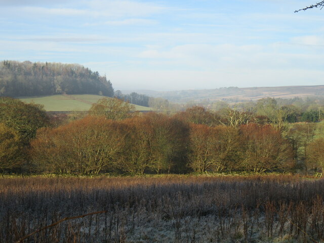
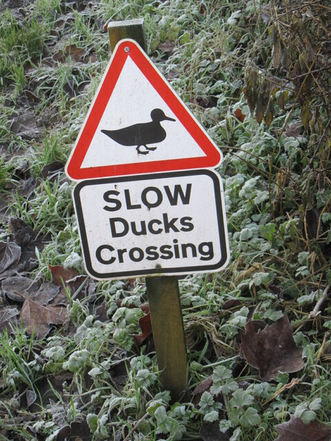
Low Cross Images
Images are sourced within 2km of 54.287/-0.87 or Grid Reference SE7388. Thanks to Geograph Open Source API. All images are credited.


Low Cross is located at Grid Ref: SE7388 (Lat: 54.287, Lng: -0.87)
Division: North Riding
Administrative County: North Yorkshire
District: Ryedale
Police Authority: North Yorkshire
What 3 Words
///proofs.ascendant.blunt. Near Kirkbymoorside, North Yorkshire
Nearby Locations
Related Wikis
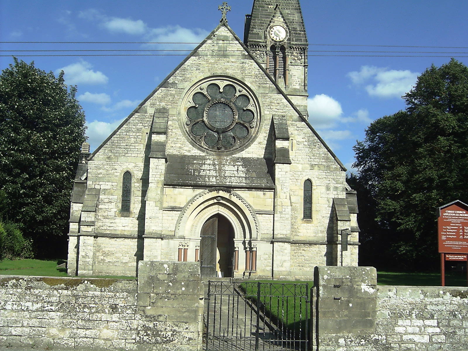
Appleton-le-Moors
Appleton-le-Moors is a village and civil parish in North Yorkshire, England. According to the 2001 census it had a population of 183, reducing to 164 in...
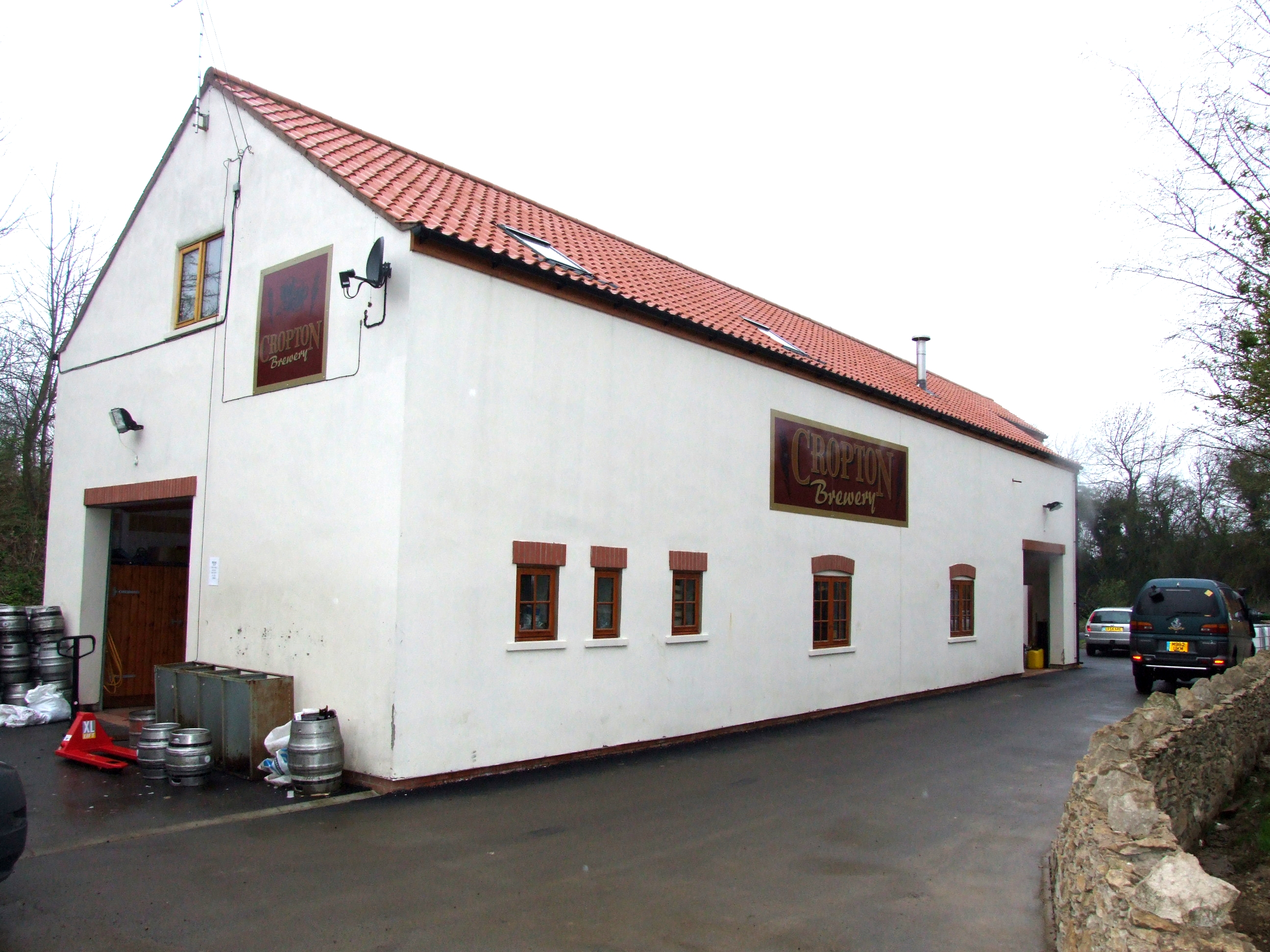
The Great Yorkshire Brewery
The Great Yorkshire Brewery (founded as Cropton Brewery) is situated in the village of Cropton in North Yorkshire, England. Located within the North York...
Spaunton
Spaunton is a hamlet and civil parish in North Yorkshire, England. At the 2011 the civil parish had a population of less than 100. Details are included...

Lastingham
Lastingham is a village and civil parish which lies in the Ryedale district of North Yorkshire, England. It is on the southern fringe of the North York...

Church of St Mary, Lastingham
The Church of St Mary, Lastingham, is the Anglican parish church for the village of Lastingham in North Yorkshire, England. The parish is part of Ryedale...

Cropton
Cropton is a village and civil parish in the Ryedale district of North Yorkshire, England. It is on the border of the North York Moors National Park, 3...

Excalibur Pot
Excalibur Pot is a natural cave in the North York Moors area of England. It is the only major cave known in the North York Moors, and is formed within...

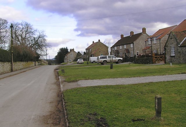
Sinnington
Sinnington is a village and civil parish in North Yorkshire, England. It is located on the southern boundary of the North York Moors National Park. According...
Nearby Amenities
Located within 500m of 54.287,-0.87Have you been to Low Cross?
Leave your review of Low Cross below (or comments, questions and feedback).