Low Longmire
Heritage Site in Lancashire South Lakeland
England
Low Longmire
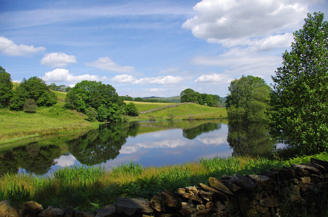
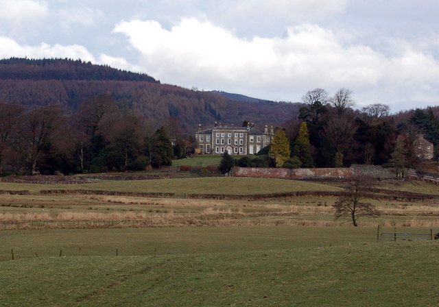
Low Longmire is a charming heritage site located in the picturesque county of Lancashire, England. Situated amidst the serene beauty of the Forest of Bowland, this historical hamlet offers visitors a glimpse into the region's rich past.
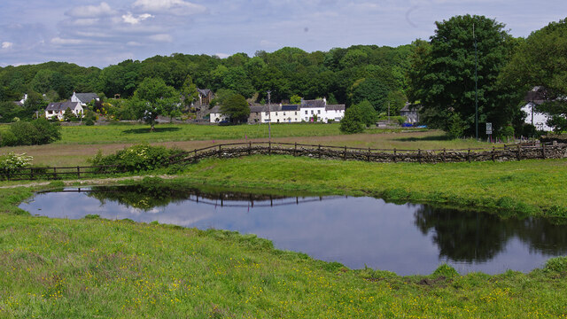
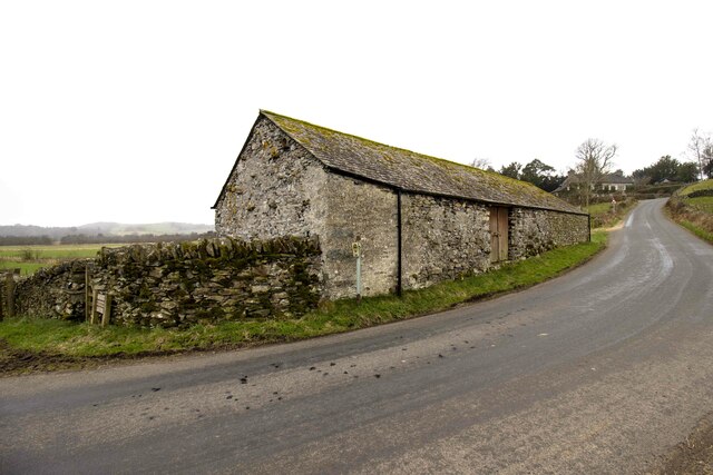
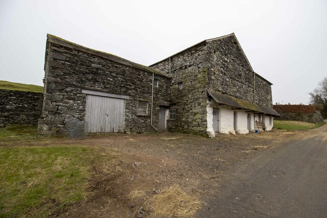
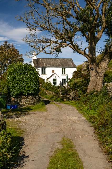
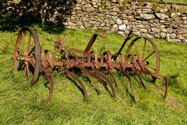
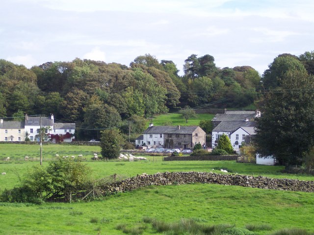
The village of Low Longmire, with its stone cottages and cobbled streets, exudes a delightful old-world charm. Dating back to the medieval era, it was once a bustling center for the local iron industry. The remnants of the ironworks can still be seen, including the original smelting ovens and mine shafts. The village's industrial past is preserved through well-preserved buildings and artifacts displayed in a small museum.
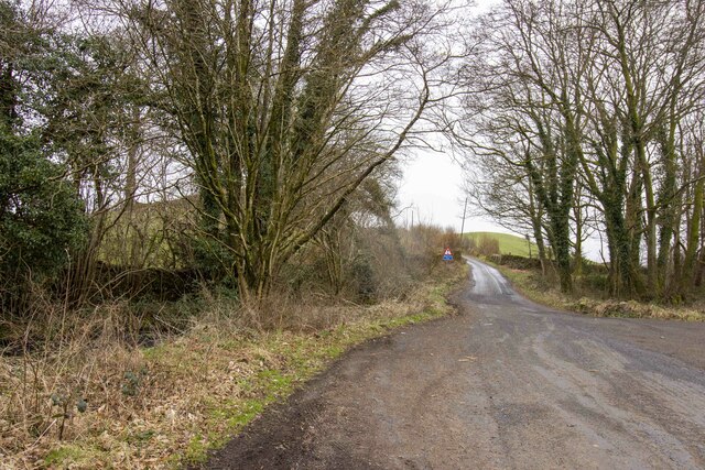
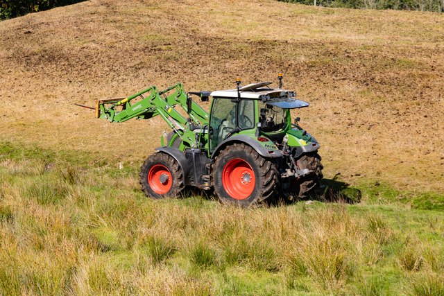
The heritage site is also renowned for its traditional farming practices, which have been passed down through generations. Visitors can witness the local farmers tending to their livestock and cultivating the land using age-old techniques. The surrounding countryside is dotted with picturesque farmland, providing a scenic backdrop for leisurely walks and hikes.
Low Longmire is also home to a beautiful parish church, St. Mary's, which dates back to the 12th century. The church's stunning architecture and ancient gravestones are a testament to the village's long-standing religious heritage.
Visiting Low Longmire offers a unique opportunity to experience the tranquility and simplicity of rural life in Lancashire. The site's well-preserved historic buildings, traditional farming practices, and natural beauty make it a must-visit destination for history enthusiasts and nature lovers alike.
If you have any feedback on the listing, please let us know in the comments section below.
Low Longmire Images
Images are sourced within 2km of 54.277/-3.034 or Grid Reference SD3287. Thanks to Geograph Open Source API. All images are credited.


Low Longmire is located at Grid Ref: SD3287 (Lat: 54.277, Lng: -3.034)
Administrative County: Cumbria
District: South Lakeland
Police Authority: Cumbria
What 3 Words
///performed.torso.themes. Near Ulverston, Cumbria
Nearby Locations
Related Wikis

Oxen Park
Oxen Park is a hamlet in the English county of Cumbria. Oxen Park lies on the watershed between Rusland and Colton Beck valleys in South Lakeland, and...

Holy Trinity Church, Colton
Holy Trinity Church is located to the east of the village of Colton, Cumbria, England. It is an active Anglican parish church in the deanery of Furness...
Colton, Cumbria
Colton is a village and civil parish in the South Lakeland district of Cumbria, England. In the 2001 census the parish had a population of 765, decreasing...
Bouth
Bouth is a village in the South Lakeland district of Cumbria, England. Historically, it was part of the county of Lancashire. It is within the Lake District...
Rusland Hall
Rusland Hall is a country house in the English Lake District. The present building dates from about 1720. The Hall was owned by the Rawlinson family in...

Bandrake Head
Bandrake Head is a village in Cumbria, England. == External links == Media related to Bandrake Head at Wikimedia Commons

Rusland, Cumbria
Rusland is a village in the South Lakeland district of Cumbria, England. It is located just to the southwest of Crosslands in the civil parish of Colton...

North Lonsdale Rural District
North Lonsdale was a rural district in the county of Lancashire, England from 1894 to 1974. It was created in 1894 as the Ulverston Rural District, and...
Nearby Amenities
Located within 500m of 54.277,-3.034Have you been to Low Longmire?
Leave your review of Low Longmire below (or comments, questions and feedback).