High Cross
Heritage Site in Yorkshire Ryedale
England
High Cross
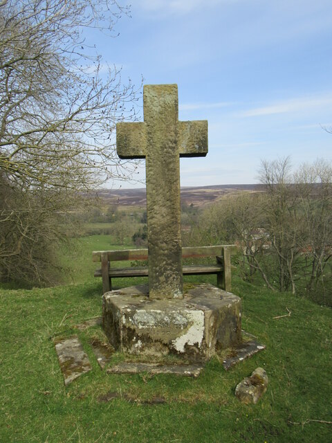
High Cross is a significant heritage site located in the county of Yorkshire, England. Situated on the outskirts of the market town of Pateley Bridge, High Cross is a medieval wayside cross that holds historical and cultural importance in the region.
The cross, made of local gritstone, stands at approximately 3 meters tall and is believed to date back to the 14th century. It is positioned at the junction of several ancient routes, including the Old Roman Road, which was once a major trade route connecting York and Buxton.
High Cross served as a marker for travelers, providing them with a point of reference and a place for rest. It is adorned with intricate carvings, including religious symbols and motifs, showcasing the craftsmanship of its time.
Over the centuries, High Cross has witnessed the evolution of the landscape and the changing dynamics of the region. Today, it stands as a testament to Yorkshire's rich heritage and serves as a reminder of the area's historical significance.
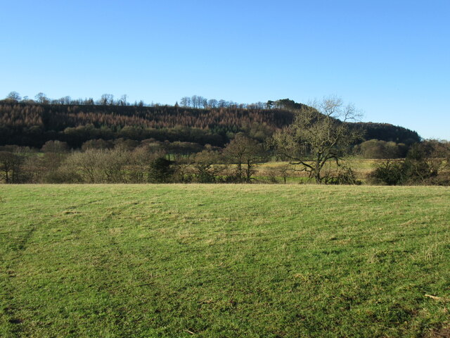
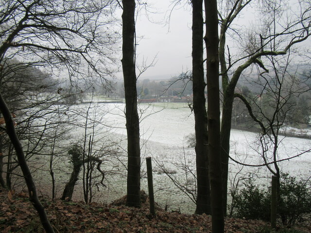
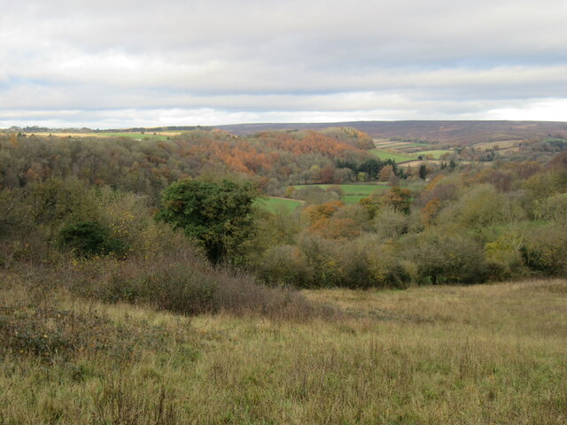
The site is easily accessible to visitors, with a nearby parking area and footpath leading to the cross. It offers a peaceful and picturesque setting, surrounded by rolling hills and lush green fields.
High Cross is not only of interest to history enthusiasts but also attracts tourists and locals who appreciate the charm and beauty of this well-preserved heritage site.
If you have any feedback on the listing, please let us know in the comments section below.
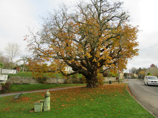
High Cross Images
Images are sourced within 2km of 54.287/-0.87 or Grid Reference SE7388. Thanks to Geograph Open Source API. All images are credited.


High Cross is located at Grid Ref: SE7388 (Lat: 54.287, Lng: -0.87)
Division: North Riding
Administrative County: North Yorkshire
District: Ryedale
Police Authority: North Yorkshire
What 3 Words
///proofs.ascendant.blunt. Near Kirkbymoorside, North Yorkshire
Nearby Locations
Related Wikis
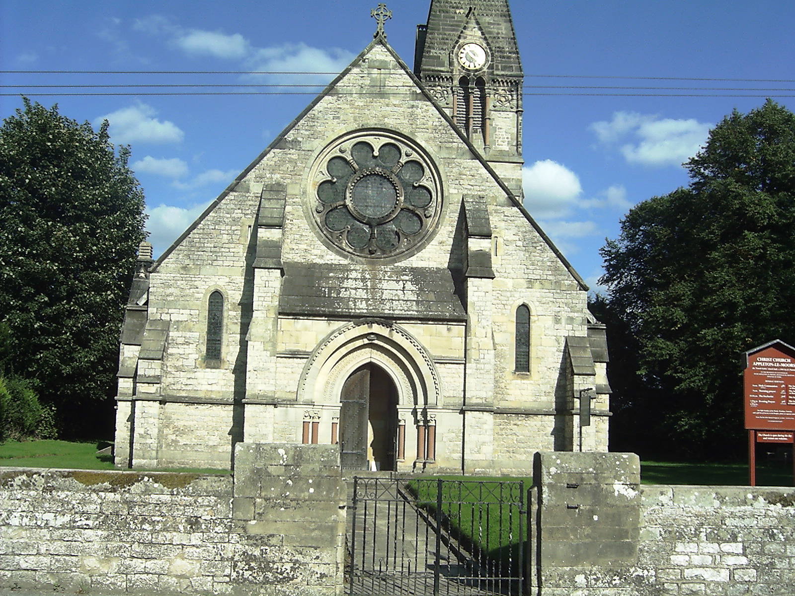
Appleton-le-Moors
Appleton-le-Moors is a village and civil parish in North Yorkshire, England. According to the 2001 census it had a population of 183, reducing to 164 in...
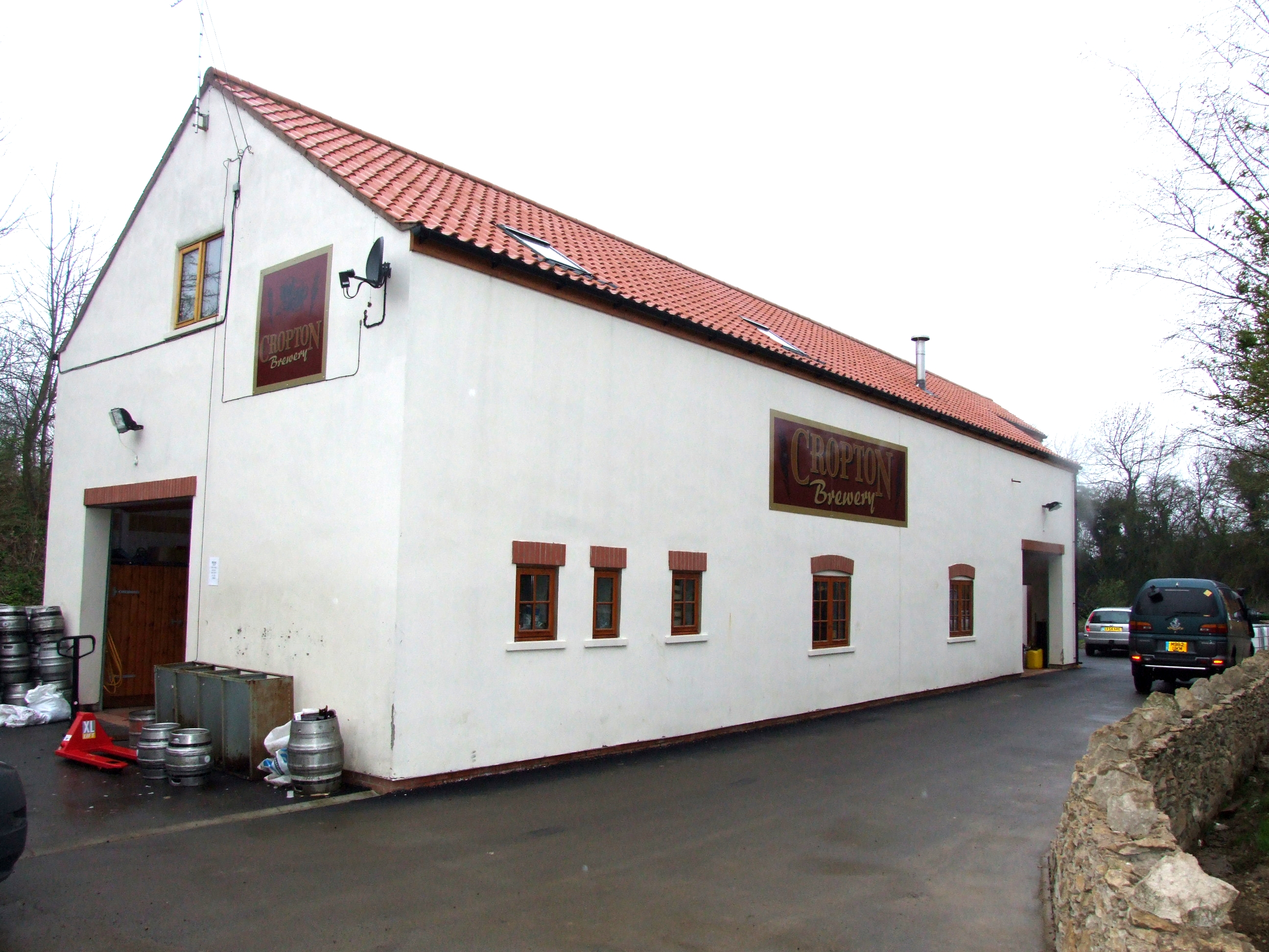
The Great Yorkshire Brewery
The Great Yorkshire Brewery (founded as Cropton Brewery) is situated in the village of Cropton in North Yorkshire, England. Located within the North York...
Spaunton
Spaunton is a hamlet and civil parish in North Yorkshire, England. At the 2011 the civil parish had a population of less than 100. Details are included...

Lastingham
Lastingham is a village and civil parish which lies in the Ryedale district of North Yorkshire, England. It is on the southern fringe of the North York...

Church of St Mary, Lastingham
The Church of St Mary, Lastingham, is the Anglican parish church for the village of Lastingham in North Yorkshire, England. The parish is part of Ryedale...

Cropton
Cropton is a village and civil parish in the Ryedale district of North Yorkshire, England. It is on the border of the North York Moors National Park, 3...

Excalibur Pot
Excalibur Pot is a natural cave in the North York Moors area of England. It is the only major cave known in the North York Moors, and is formed within...

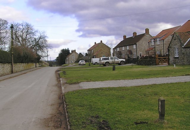
Sinnington
Sinnington is a village and civil parish in North Yorkshire, England. It is located on the southern boundary of the North York Moors National Park. According...
Nearby Amenities
Located within 500m of 54.287,-0.87Have you been to High Cross?
Leave your review of High Cross below (or comments, questions and feedback).