High Bride Stones
Heritage Site in Yorkshire Scarborough
England
High Bride Stones

High Bride Stones is a prominent heritage site located in Yorkshire, England. Situated near the village of Marsden, it is nestled within the picturesque landscape of the Peak District National Park. This historic site consists of a collection of large stones, believed to have been erected during the late Neolithic or early Bronze Age period, making it a significant archaeological site.
The stones at High Bride Stones are characterized by their size and arrangement, standing tall at an average height of 2 to 3 meters. Composed mainly of local millstone grit, these stones are thought to have served as markers or boundary stones, although their exact purpose remains a subject of speculation among experts.
The site, surrounded by sprawling moorlands, offers visitors breathtaking panoramic views of the surrounding valleys and hills. It is a popular destination for hikers and nature enthusiasts, attracting both local visitors and tourists from afar. The stones' positioning, combined with the natural beauty of the area, creates a serene and mystical ambiance that adds to the allure of this heritage site.
High Bride Stones serves as a testament to the ancient civilizations that once inhabited the region. Its historical significance and stunning surroundings make it a captivating destination for those interested in exploring the rich cultural heritage of Yorkshire. Whether one is drawn by its archaeological importance or simply seeking a tranquil escape in nature, High Bride Stones offers a unique and enriching experience for all who visit.
If you have any feedback on the listing, please let us know in the comments section below.
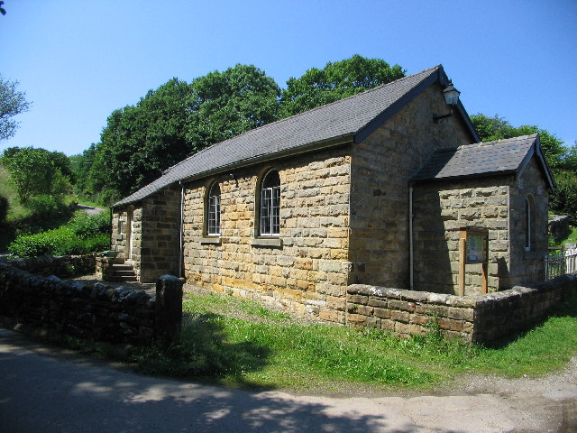
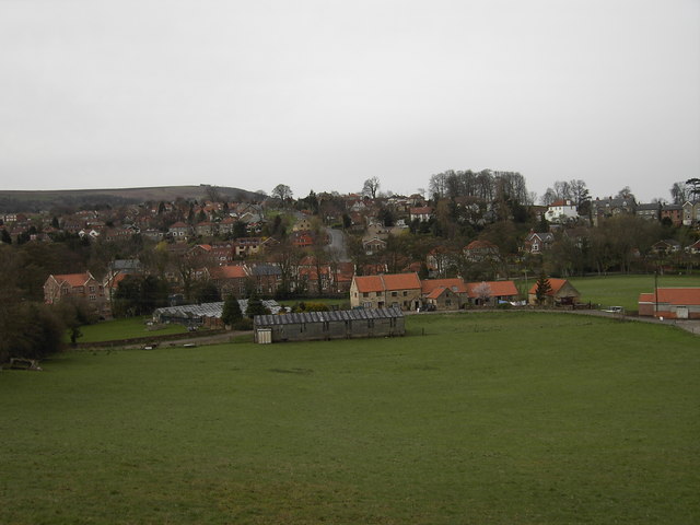
High Bride Stones Images
Images are sourced within 2km of 54.428/-0.682 or Grid Reference NZ8504. Thanks to Geograph Open Source API. All images are credited.


High Bride Stones is located at Grid Ref: NZ8504 (Lat: 54.428, Lng: -0.682)
Division: North Riding
Administrative County: North Yorkshire
District: Scarborough
Police Authority: North Yorkshire
What 3 Words
///clerk.jazz.equipment. Near Sleights, North Yorkshire
Nearby Locations
Related Wikis
Eskdaleside cum Ugglebarnby
Eskdaleside cum Ugglebarnby is a civil parish in the Scarborough district of North Yorkshire, England, comprising the two villages of Sleights and Ugglebarnby...

Littlebeck, North Yorkshire
Littlebeck is a hamlet in the North York Moors National Park, near Whitby, in North Yorkshire, England. It stands on the Little Beck, a minor tributary...
Sleights
Sleights is a village in North Yorkshire, England. Located in the Esk Valley in the postal region of Whitby, the village is part of the civil parish of...

Grosmont Tunnel
The Grosmont Tunnels are two separate railway tunnels adjoining each other in the village of Grosmont, North Yorkshire, England. The first tunnel was built...

Grosmont, North Yorkshire
Grosmont ( GROH-mont; archaically spelt Growmond) is a village and civil parish situated in Eskdale in the North York Moors National Park, within the boundaries...
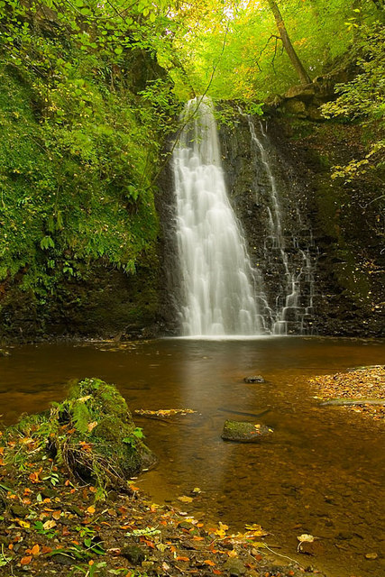
Falling Foss
Falling Foss is a waterfall that lies in the north-east section of The North York Moors National Park and is a popular spot for walking. It is 5 miles...

Briggswath
Briggswath is a village in the Scarborough district of North Yorkshire, England. the settlement is on the north bank of the River Esk, upstream of Ruswarp...

Goathland railway station
Goathland railway station is a station on the North Yorkshire Moors Railway and serves the village of Goathland in the North York Moors National Park,...
Nearby Amenities
Located within 500m of 54.428,-0.682Have you been to High Bride Stones?
Leave your review of High Bride Stones below (or comments, questions and feedback).