Llanferran
Heritage Site in Pembrokeshire
Wales
Llanferran
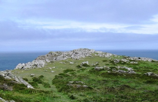
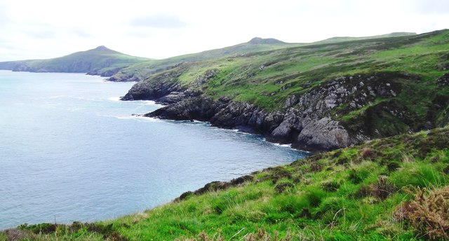
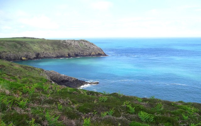
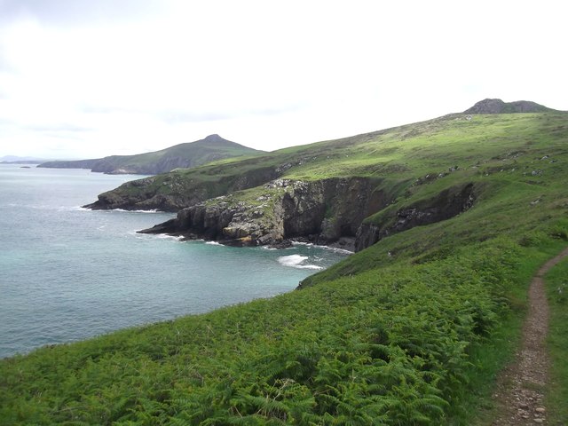
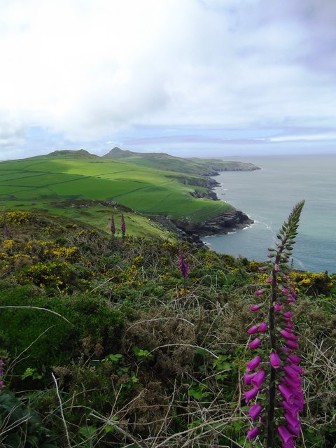
Llanferran, located in the county of Pembrokeshire, Wales, is a significant heritage site with a rich historical and cultural background. Nestled amidst stunning natural landscapes, Llanferran is known for its well-preserved medieval castle ruins, which attract visitors from around the world.
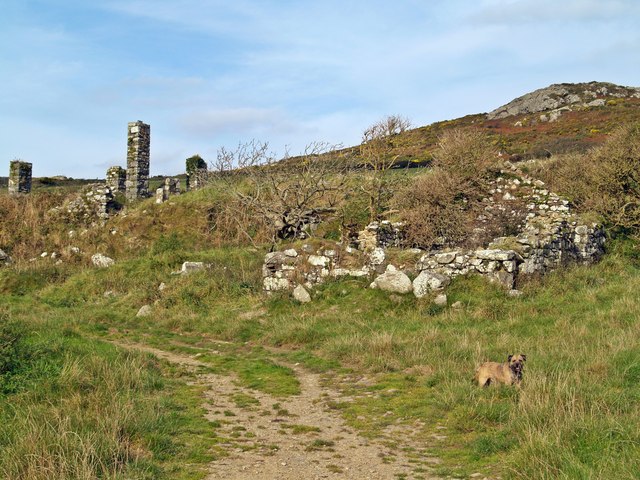
The castle, believed to have been built in the 12th century, stands on a hilltop overlooking the village and offers breathtaking panoramic views of the surrounding countryside and the nearby coastline. The ruins consist of a fortified stone keep, defensive walls, and remnants of a chapel. The castle played a vital role in the defense of the area and served as a stronghold during various conflicts and invasions throughout its history.
Llanferran Castle is a popular tourist destination, where visitors can explore the grounds and learn about the castle's captivating past through informational displays and guided tours. The site also hosts various events and reenactments, allowing visitors to experience the medieval atmosphere firsthand.
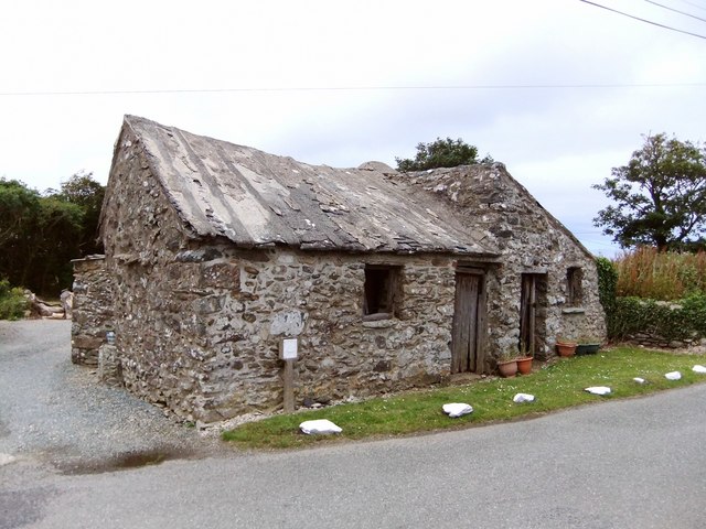
Aside from the castle, Llanferran boasts a charming village with traditional Welsh architecture, including quaint cottages and stone buildings. The village is home to a small community, and visitors can immerse themselves in the local culture, enjoying traditional Welsh cuisine and hospitality.
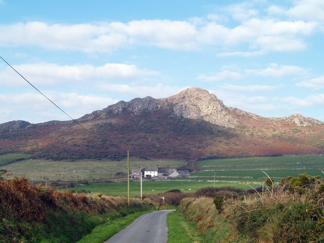
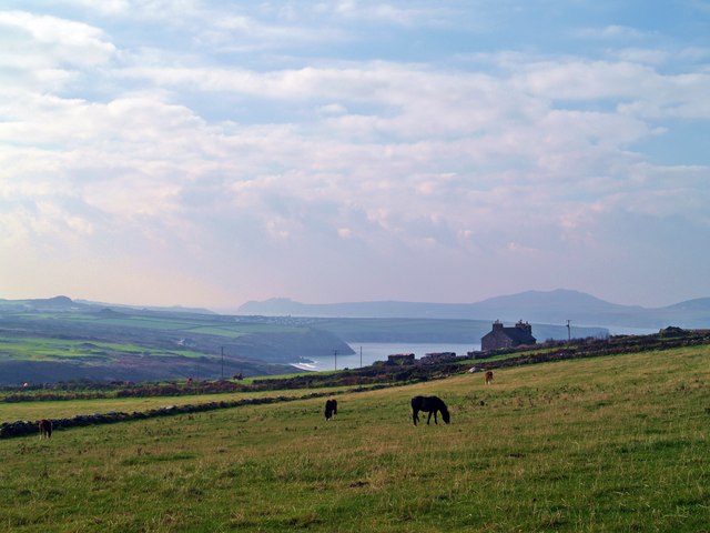
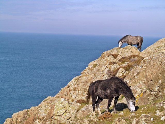
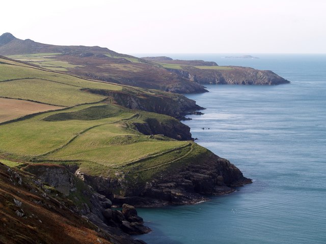
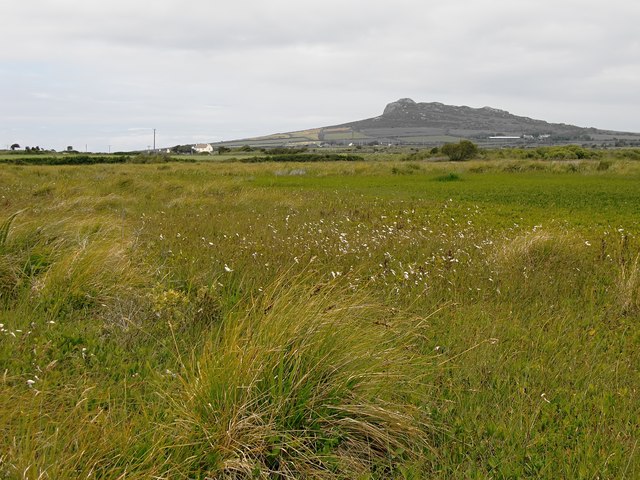
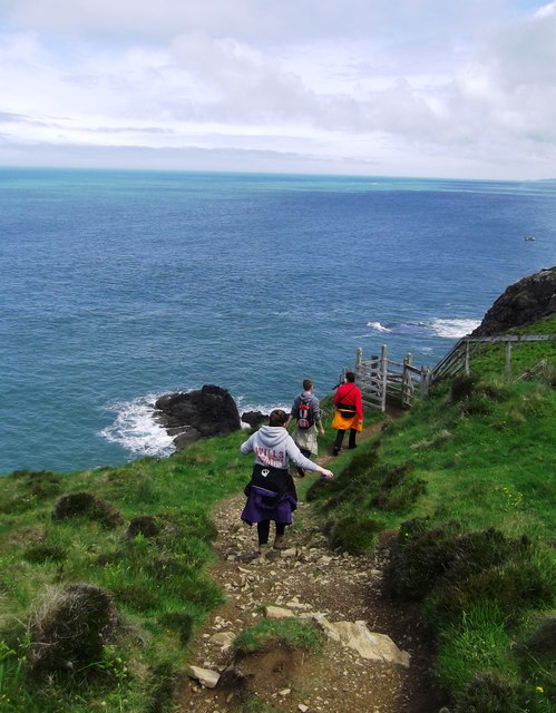
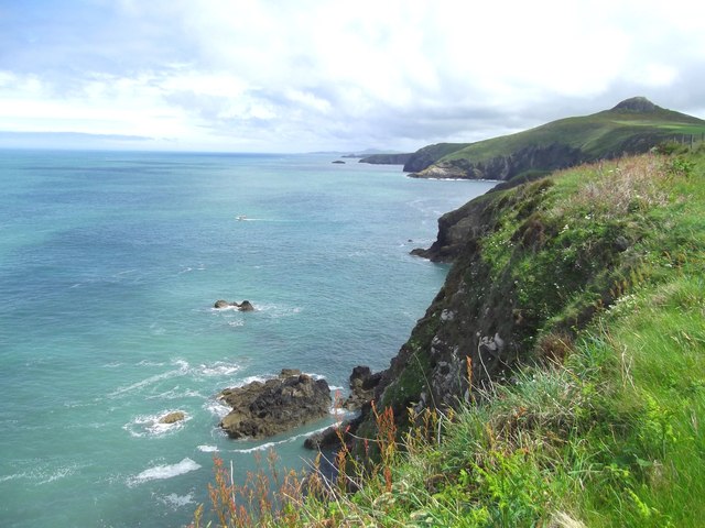
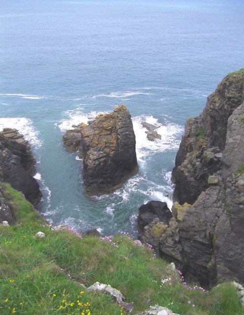
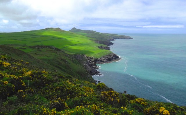
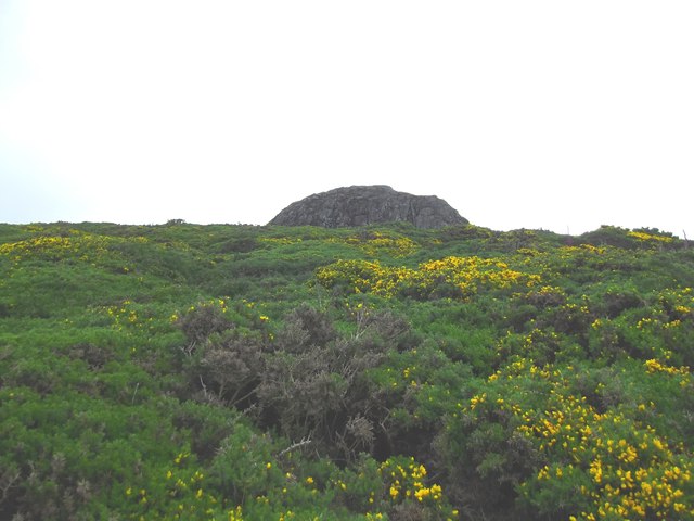
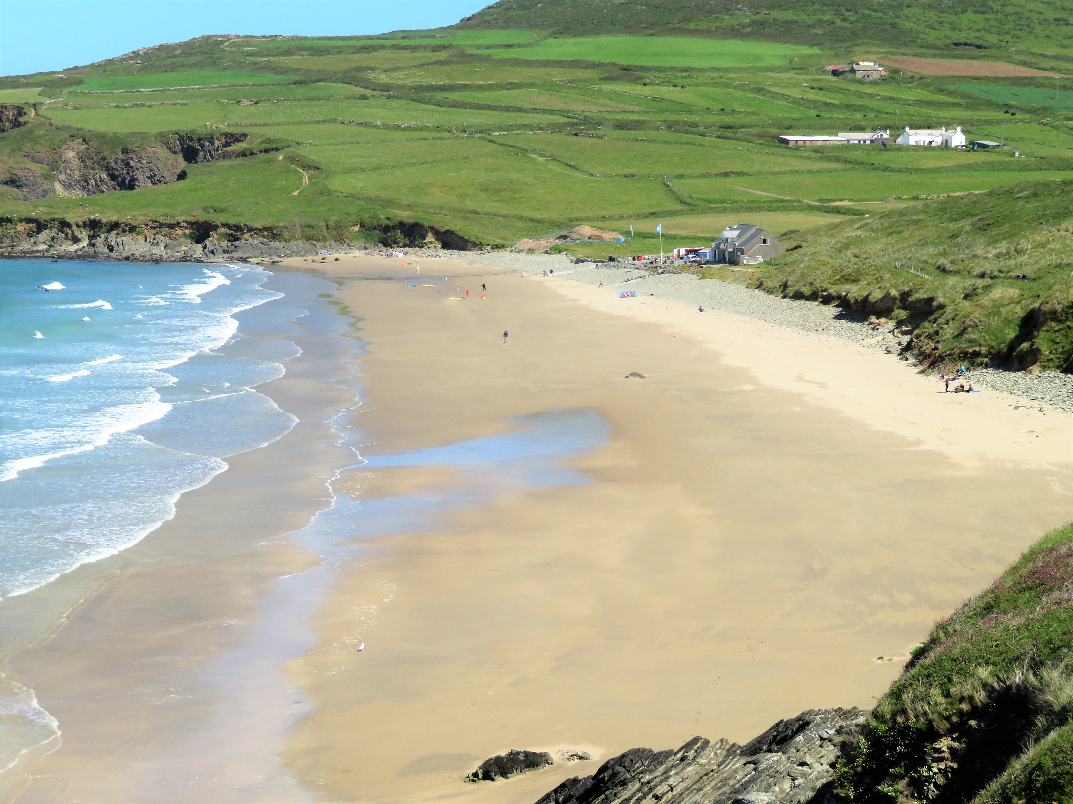
Llanferran's location on the Pembrokeshire coast offers ample opportunities for outdoor activities, such as hiking along the nearby coastal path or relaxing on the picturesque sandy beaches. The area is also renowned for its diverse wildlife, making it a haven for nature enthusiasts.
Overall, Llanferran, Pembrokeshire, is a captivating heritage site that combines history, natural beauty, and Welsh culture, providing visitors with a memorable and enriching experience.
If you have any feedback on the listing, please let us know in the comments section below.
Llanferran Images
Images are sourced within 2km of 51.911/-5.263 or Grid Reference SM7528. Thanks to Geograph Open Source API. All images are credited.
Llanferran is located at Grid Ref: SM7528 (Lat: 51.911, Lng: -5.263)
Unitary Authority: Pembrokeshire
Police Authority: Dyfed Powys
What 3 Words
///ripples.cultivation.presumes. Near St Davids, Pembrokeshire
Nearby Locations
Related Wikis

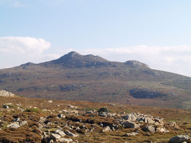
Carn Llidi
Carn Llidi is a hill east of St David's Head in Pembrokeshire, Wales. Carn Llidi and its surrounding area is part of the Pembrokeshire Coast National Park...

Dowrog Common
Dowrog Common (Welsh: Comin Dowrog) is a Site of Special Scientific Interest (or SSSI) in Pembrokeshire, South Wales. It has been designated as a Site...
Penrhiw Priory
Penrhiw Priory was originally built as a vicarage in St Davids, Pembrokeshire, Wales, in 1884. The building was enlarged in the 1960s, serving for a time...
Whitesands Bay (Pembrokeshire)
Whitesands Bay (Welsh: Porth Mawr) is a Blue Flag beach situated on the St David's peninsula in the Pembrokeshire Coast National Park, Wales. Whitesand...
Nearby Amenities
Located within 500m of 51.911,-5.263Have you been to Llanferran?
Leave your review of Llanferran below (or comments, questions and feedback).