Kirkandrews Tower
Heritage Site in Cumberland Carlisle
England
Kirkandrews Tower
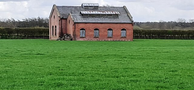
Kirkandrews Tower is a historic structure located in Cumberland, England. Situated near the village of Kirkandrews-on-Esk, it stands as a prominent heritage site in the region. The tower dates back to the 16th century and is believed to have been constructed by the Dacre family, who were influential landowners in the area.
This three-story tower is built of local red sandstone and features a rectangular design. It stands at an impressive height of about 15 meters, with thick walls that speak to its defensive purpose. The tower's architectural style reflects the military influence of the time, with narrow windows and few decorative elements.
Originally, Kirkandrews Tower would have served as a fortified structure, providing protection to its occupants during periods of conflict. Over the years, it has witnessed various uses, including as a family residence, a hunting lodge, and a storage facility. Today, it stands as a reminder of the region's rich history and heritage.
Visitors to Kirkandrews Tower can explore its interior, which has been partially restored to provide insight into its original layout and function. The ground floor features a vaulted ceiling and would have housed the kitchen and storage areas. The upper floors would have served as living quarters, with evidence of fireplaces and living spaces still visible.
Surrounded by picturesque countryside, Kirkandrews Tower offers a unique glimpse into the past and is a must-visit destination for history enthusiasts and architecture lovers alike.
If you have any feedback on the listing, please let us know in the comments section below.
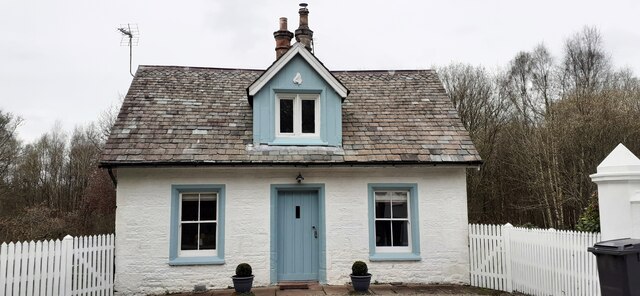
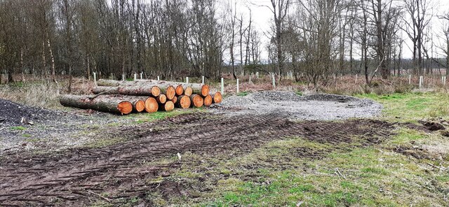
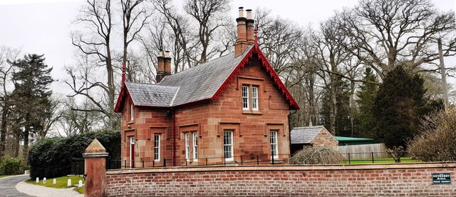
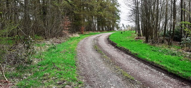
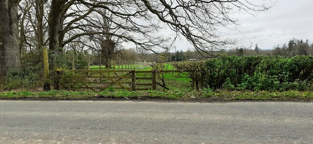
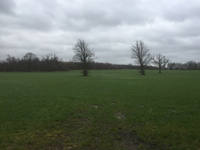
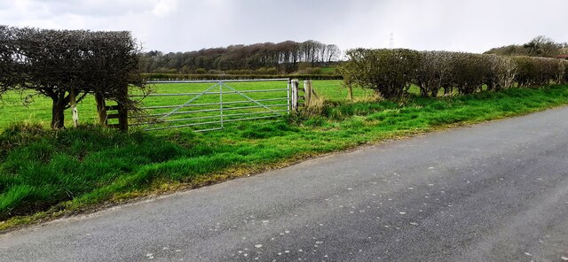
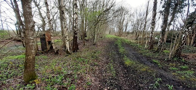
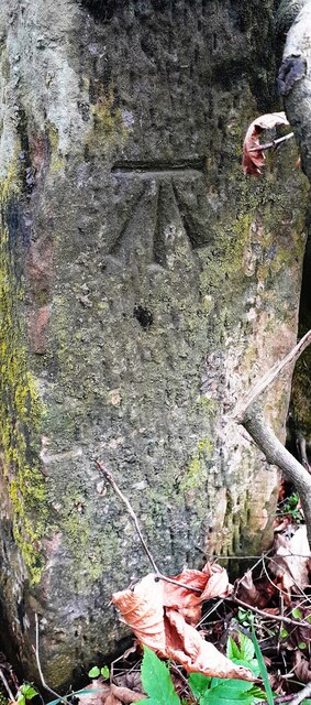
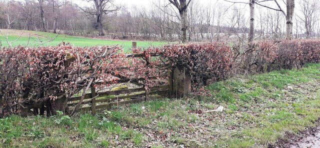
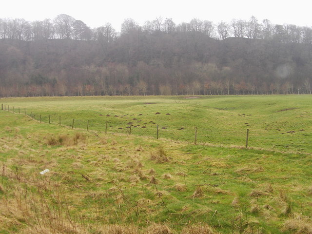
Kirkandrews Tower Images
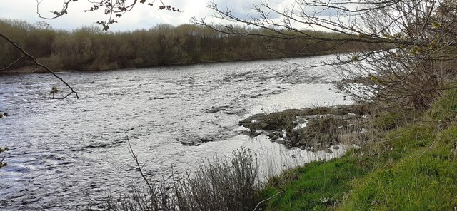
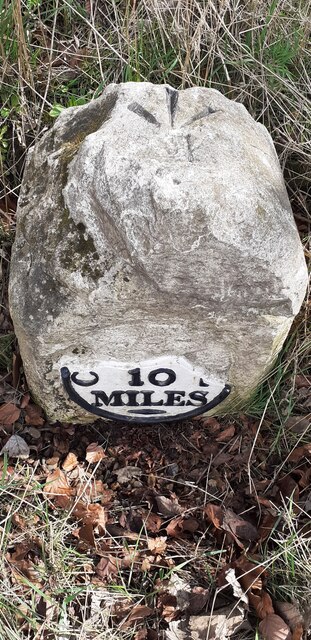
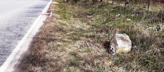
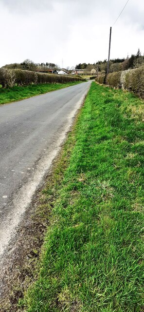
Images are sourced within 2km of 55.033/-2.962 or Grid Reference NY3871. Thanks to Geograph Open Source API. All images are credited.
Kirkandrews Tower is located at Grid Ref: NY3871 (Lat: 55.033, Lng: -2.962)
Administrative County: Cumbria
District: Carlisle
Police Authority: Cumbria
What 3 Words
///corrects.owns.bonds. Near Longtown, Cumbria
Nearby Locations
Related Wikis

Coop House, Netherby
Coop House, near Netherby in Cumbria, England, is a small building by the River Esk, erected about 1772 as part of a salmon fishery project, and restored...

Scotch Dyke railway station
Scotch Dyke railway station was a railway station in Cumberland close to the Scots' Dike, the traditional border with Scotland. == History == The station...

Liddel Water
Liddel Water is a river running through southern Scotland and northern England, for much of its course forming the border between the two countries, and...

Carwinley
Carwinley is a hamlet in Cumbria, England, located on the border with Scotland. It was first mentioned in 1202 as Karwindelhov.The ancient monument of...

Longtown railway station
Longtown railway station served the town of Longtown, Cumbria, England, from 1861 to 1970 on the Waverley Route. == History == The station opened on 29...

Kirkandrews-on-Esk
Kirkandrews (also known as Kirkandrews-on-Esk distinguishing it from Kirkandrews-on-Eden), is a civil parish in City of Carlisle district, Cumbria, England...

Longtown, Cumbria
Longtown is a market town in Cumbria, England, just south of the Scottish Border. It has a sheep market which was at the centre of the 2001 United Kingdom...
Liddel Strength
Liddel Strength is an ancient monument near Carwinley, Cumbria, in northwest England. It consists of the earthwork remains of an Anglo-Norman border fortification...
Nearby Amenities
Located within 500m of 55.033,-2.962Have you been to Kirkandrews Tower?
Leave your review of Kirkandrews Tower below (or comments, questions and feedback).