Byer's Wood

Wood, Forest in Cumberland Carlisle

England

Byer's Wood

Pile of logs in Foultown Wood
Pile of logs in Foultown Wood Credit: Roger Templeman

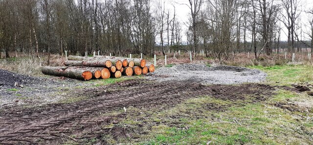
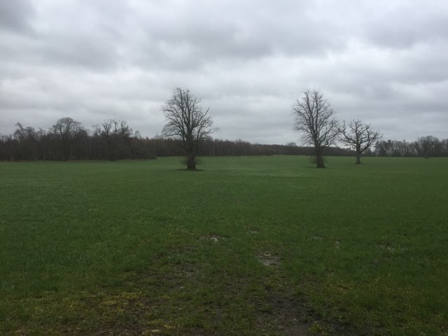
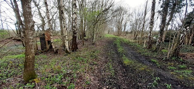
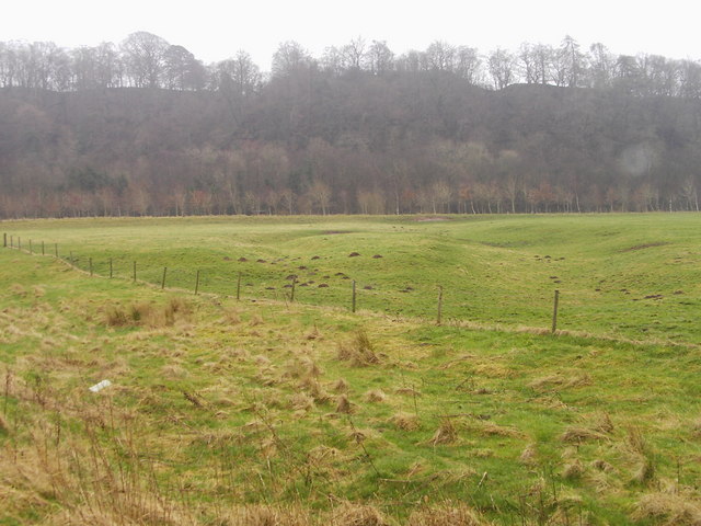
Byer's Wood, located in Cumberland, England, is a stunning forest that encompasses an area of approximately 300 hectares. This woodland is known for its rich biodiversity, captivating landscapes, and historical significance. The wood is comprised of a variety of tree species, including oak, beech, ash, and birch, creating a diverse and thriving ecosystem.

Byer's Wood is a haven for wildlife, offering a habitat for numerous species of birds, mammals, and insects. It is particularly renowned for being home to the red squirrel, a threatened species in the United Kingdom. Visitors to the wood often have the opportunity to spot these charismatic creatures in their natural habitat.

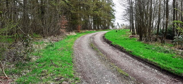
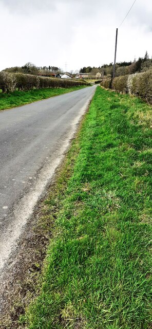
The forest also boasts an array of walking trails, allowing visitors to explore its beauty and immerse themselves in nature. The pathways wind through enchanting groves and alongside babbling brooks, providing a tranquil and serene experience. The wood offers a range of facilities, including picnic areas and designated camping spots, providing visitors with the chance to spend extended periods in this picturesque setting.

Notably, Byer's Wood has a rich historical background, with evidence of human presence dating back thousands of years. Archaeological discoveries, such as ancient settlements and burial sites, have been made within the wood, adding to its cultural significance.

Overall, Byer's Wood in Cumberland is a captivating forest, teeming with life and offering a peaceful retreat for nature enthusiasts. Its lush greenery, abundant wildlife, and historical treasures make it a must-visit destination for those seeking to connect with the natural world.

If you have any feedback on the listing, please let us know in the comments section below.
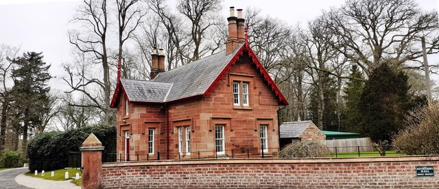
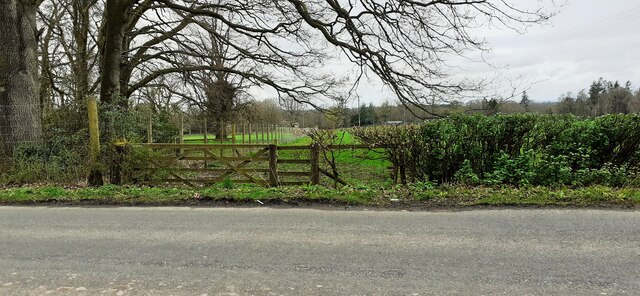
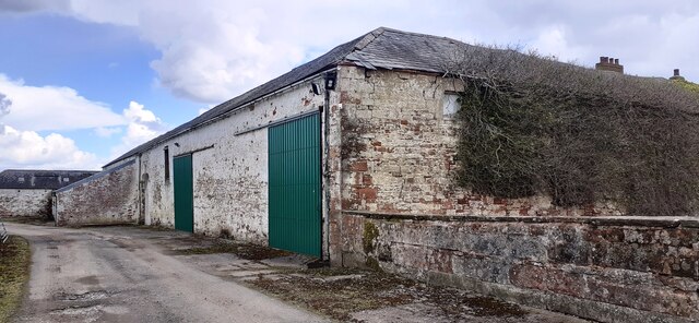
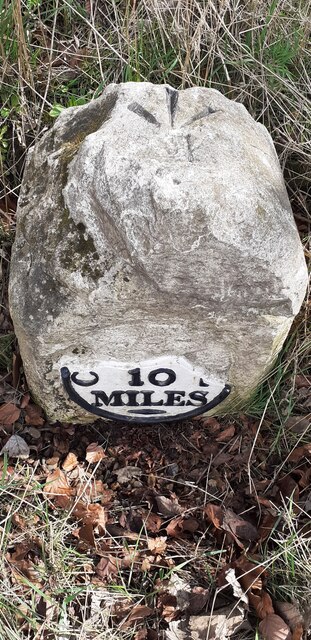
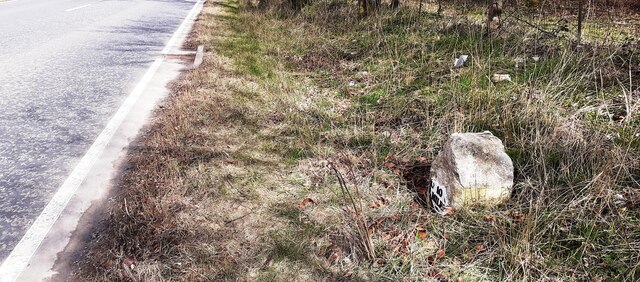
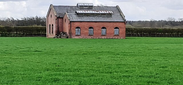
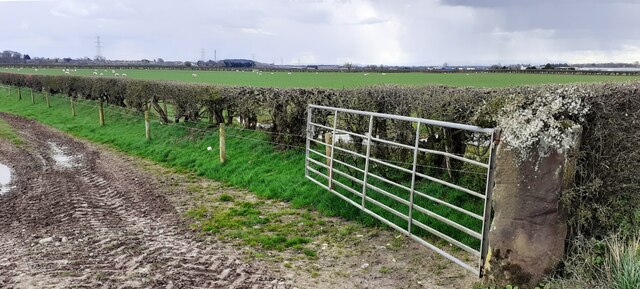
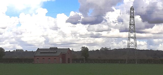
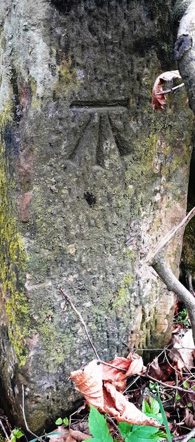
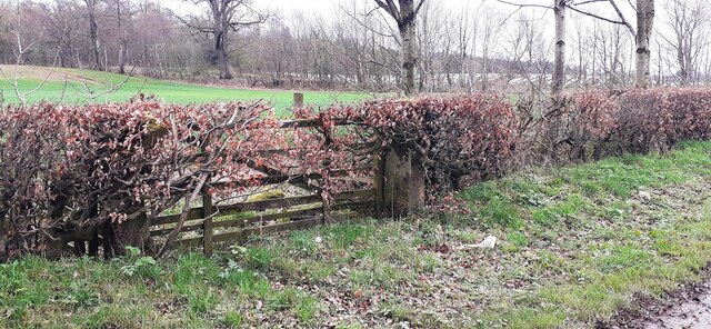
Byer's Wood Images

Images are sourced within 2km of 55.033656/-2.9652705 or Grid Reference NY3871. Thanks to Geograph Open Source API. All images are credited.

Pile of logs in Foultown Wood
Middle Lodge, Netherby Hall
Track through Foultown Wood
Field gateway on NW side of rural road NE of Middle Lodge
Parkland, Netherby Surrounded by Cistern Wood.
Parkland, Netherby
Surrounded by Cistern Wood.
St. Andrew's at Kirkandrews on Esk
Field gateway on west side of minor road to Batenbush
River Esk from its NW bank
Farm buildings at Oakbank There is an Ordnance Survey benchmark <a href="https://www.geograph.org.uk/photo/7142707">NY3670 : Benchmark on farm building at Oakbank</a> on the corner, road face, of the nearest building at the junction with stone wall
Farm buildings at Oakbank
There is an Ordnance Survey benchmark NY3670 : Benchmark on farm building at Oakbank on the corner, road face, of the nearest building at the junction with stone wall
Milestone Carlisle 10 miles on SE side of A7 The milestone has an Ordnance Survey pivot benchmark levelled at 17.100m above Newlyn Datum verified in 1974 on its top. The 1888-1913 OS 6" Map shows the benchmark at 55.8 feet (17.0m) above Liverpool Datum
Milestone Carlisle 10 miles on SE side of A7
The milestone has an Ordnance Survey pivot benchmark levelled at 17.100m above Newlyn Datum verified in 1974 on its top. The 1888-1913 OS 6" Map shows the benchmark at 55.8 feet (17.0m) above Liverpool Datum
Old milestone on SE side of A7 SW of Batenbush junction <a href="https://www.geograph.org.uk/photo/7142752">NY3770 : Milestone Carlisle 10 miles on SE side of A7</a> shows a front view of the milestone
Old milestone on SE side of A7 SW of Batenbush junction
NY3770 : Milestone Carlisle 10 miles on SE side of A7 shows a front view of the milestone
Rural NW road towards Batenbush
Footpath through wood between A7 and River Esk On tracked of former North British Railway from Carlsle to Edinburgh. The brick structure could be the fireplace of a platelayers hut?
Footpath through wood between A7 and River Esk
On tracked of former North British Railway from Carlsle to Edinburgh. The brick structure could be the fireplace of a platelayers hut?
Former pumping station in field on SE side of A7
Field gateway and sheep pasture on SE side of A7
Former pumping station and electricity pylon in field on SE side of A7 Snow-bearing clouds overhead
Former pumping station and electricity pylon in field on SE side of A7
Snow-bearing clouds overhead
Benchmark on gatepost at gateway on SE side of road near Slackbraes Wood Ordnance Survey cut mark benchmark levelled at 23.360m above Newlyn Datum verified 1955
Benchmark on gatepost at gateway on SE side of road near Slackbraes Wood
Ordnance Survey cut mark benchmark levelled at 23.360m above Newlyn Datum verified 1955
Field gateway on SE side of rural road west of Slackbraes Wood There is an Ordnance Survey benchmark <a href="https://www.geograph.org.uk/photo/7148236">NY3870 : Benchmark on gatepost at gateway on SE side of road near Slackbraes Wood</a> on the road face of the right hand gatepost of the now disused gateway
Field gateway on SE side of rural road west of Slackbraes Wood
There is an Ordnance Survey benchmark NY3870 : Benchmark on gatepost at gateway on SE side of road near Slackbraes Wood on the road face of the right hand gatepost of the now disused gateway
Show me another place!

Byer's Wood is located at Grid Ref: NY3871 (Lat: 55.033656, Lng: -2.9652705)

Administrative County: Cumbria

District: Carlisle

Police Authority: Cumbria

What 3 Words

///executive.basic.harvest. Near Longtown, Cumbria

Related Wikis

Coop House, Netherby

Coop House, near Netherby in Cumbria, England, is a small building by the River Esk, erected about 1772 as part of a salmon fishery project, and restored...

Scotch Dyke railway station

Scotch Dyke railway station was a railway station in Cumberland close to the Scots' Dike, the traditional border with Scotland. == History == The station...

Liddel Water

Liddel Water is a river running through southern Scotland and northern England, for much of its course forming the border between the two countries, and...

Kirkandrews-on-Esk

Kirkandrews (also known as Kirkandrews-on-Esk distinguishing it from Kirkandrews-on-Eden), is a civil parish in City of Carlisle district, Cumbria, England...

Longtown railway station

Longtown railway station served the town of Longtown, Cumbria, England, from 1861 to 1970 on the Waverley Route. == History == The station opened on 29...

Carwinley

Carwinley is a hamlet in Cumbria, England, located on the border with Scotland. It was first mentioned in 1202 as Karwindelhov.The ancient monument of...

Longtown, Cumbria

Longtown is a market town in Cumbria, England, just south of the Scottish Border. It has a sheep market which was at the centre of the 2001 United Kingdom...

Liddel Strength

Liddel Strength is an ancient monument near Carwinley, Cumbria, in northwest England. It consists of the earthwork remains of an Anglo-Norman border fortification...

Nearby Amenities

Located within 500m of 55.033656,-2.9652705
Created By: Merkaartor 0.12
Lat/Long: 55.0329906/-2.9724025
Glingerbank
Place: locality
Lat/Long: 55.035171/-2.970686
Power: pole
Lat/Long: 55.0330737/-2.9704041
Power: pole
Lat/Long: 55.0328293/-2.9703059
Power: pole
Lat/Long: 55.0324573/-2.970119
Power: pole
Lat/Long: 55.0321387/-2.9699561
Power: pole
Lat/Long: 55.0314907/-2.9696759
Power: pole
Lat/Long: 55.0304473/-2.9677498
Power: pole
Lat/Long: 55.0294436/-2.9667868
Power: pole
Lat/Long: 55.0380844/-2.9654118
Power: pole
Lat/Long: 55.0377961/-2.9642236
Power: pole
Lat/Long: 55.0376767/-2.9637158
Power: pole
Lat/Long: 55.0374777/-2.9627384
Power: pole
Lat/Long: 55.0374612/-2.9615478
The data included in this document is from www.openstreetmap.org. The data is made available under ODbL.

Have you been to Byer's Wood?

Leave your review of Byer's Wood below (or comments, questions and feedback).