Kett's Oak

Heritage Site in Norfolk

England

Kett's Oak

The A11 west approaching junction for B1135, Wymondham
The A11 west approaching junction for B1135, Wymondham Credit: Roy Hughes

The requested URL returned error: 429 Too Many Requests

If you have any feedback on the listing, please let us know in the comments section below.
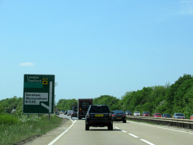
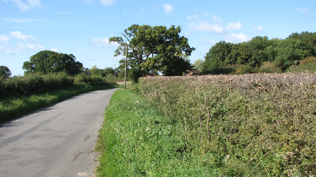
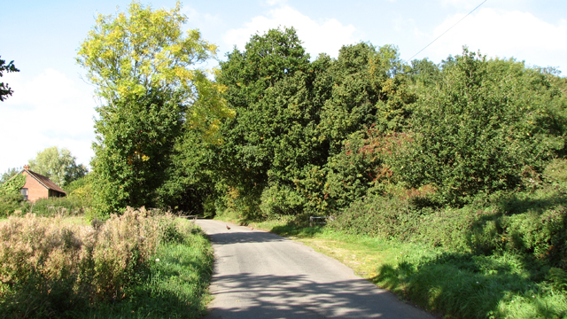
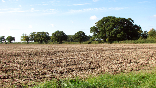
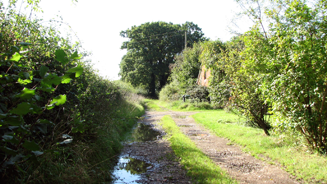
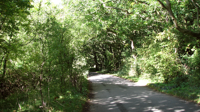
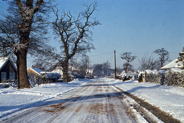
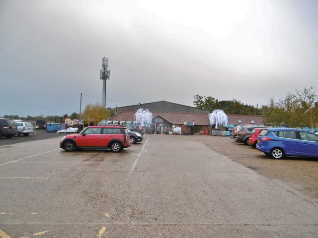
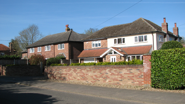
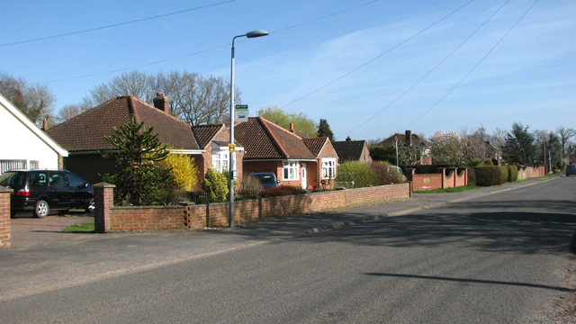
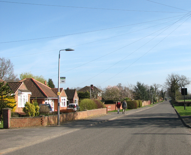
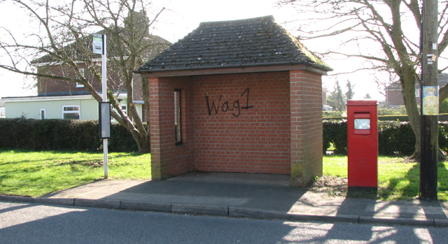
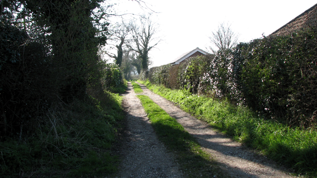
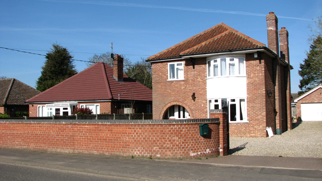
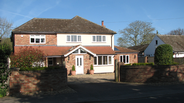
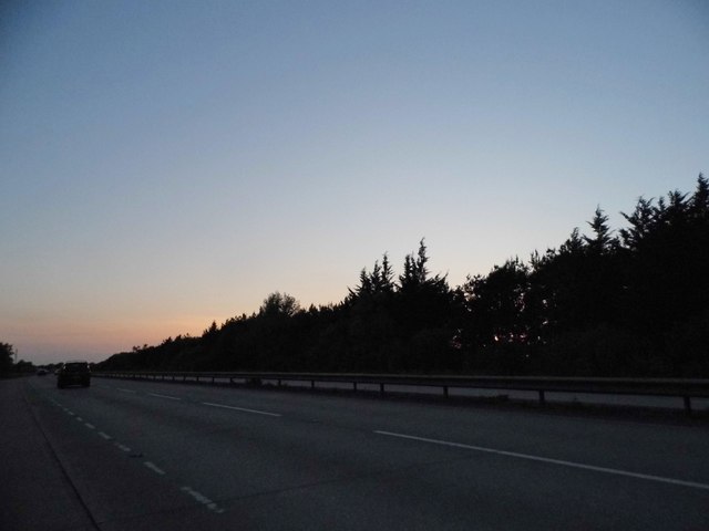
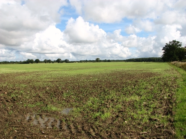
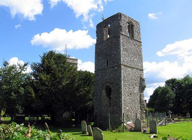
Kett's Oak Images

Images are sourced within 2km of 52.587/1.152 or Grid Reference TG1303. Thanks to Geograph Open Source API. All images are credited.

The A11 west approaching junction for B1135, Wymondham
Approaching Ketteringham Road on St Thomas Lane
St Thomas Lane
St Thomas Lane
View towards Capslough Farm
Fields by Capslough Farm
Track to Capslough Farm
View along St Thomas Lane
New Road, Hethersett 1963 Similar to <a href="https://www.geograph.org.uk/photo/4387151">TG1404 : New Rd</a>, taken winter 1963. I think Mill Road goes off to the right between the first & second telegraph poles on the right.
New Road, Hethersett 1963
Similar to TG1404 : New Rd, taken winter 1963. I think Mill Road goes off to the right between the first & second telegraph poles on the right.
Wymondham Garden Centre On Tuttles Lane East: <span class="nowrap"><a title="http://www.wymondhamgardencentre.co.uk/" rel="nofollow ugc noopener" href="http://www.wymondhamgardencentre.co.uk/">Link</a><img style="margin-left:2px;" alt="External link" title="External link - shift click to open in new window" src="https://s1.geograph.org.uk/img/external.png" width="10" height="10"/></span>
Wymondham Garden Centre
On Tuttles Lane East: LinkExternal link
Houses in New Road
Houses in New Road
View along New Road
View along New Road
Walking along New Road
Bus shelter in New Road
Track off New Road
Track off New Road
Dwellings in New Road
House in New Road
House in New Road
The A11 Hethersett Bypass
Crop fields by Browick Bottom Farm
Show me another place!

Kett's Oak is located at Grid Ref: TG1303 (Lat: 52.587, Lng: 1.152)

What 3 Words

///climber.sheepish.punch. Near Hethersett, Norfolk

Nearby Locations

Kett's Oak

Related Wikis

Kett's Oak

Kett's Oak is one of the 50 Great British Trees. The ancient oak tree (Quercus robur) is located at the side of the B1172 road between Wymondham and Hethersett...

Spinks Lane railway station

Spink's Lane was a railway station on Spink's Lane on the eastern outskirts of Wymondham, Norfolk. It was opened very briefly in 1845 to trains on the...

Hethersett Old Hall School

Hethersett Old Hall School was an independent school located in Hethersett, Norfolk, England that educated around 180 boys and girls. It was a day school...

Great Melton

Great Melton is a civil parish in the English county of Norfolk. It covers an area of 10.24 km2 (3.95 sq mi) and had a population of 148 in 59 households...

Nearby Amenities

Located within 500m of 52.587,1.152
Barrier: bollard
Bicycle: yes
Bollard: fixed
Foot: yes
Material: plastic
Motor Vehicle: no
Lat/Long: 52.5864134/1.1523085
Traffic Calming: bump
Lat/Long: 52.5863318/1.1514814
Parking
Fee: no
Operator: National Highways
Operator Wikidata: Q5760006
Parking: layby
Lat/Long: 52.5874872/1.1552546
Milestone
Distance Norwich: 7 mi
Distance Thetford: 22 mi
Marker: stone
Lat/Long: 52.5874257/1.1554021
Addr Postcode: NR18 0SW
Building: yes
Lat/Long: 52.5847963/1.1477213
Crossing
Bicycle: yes
Crossing: unmarked
Tactile Paving: no
Lat/Long: 52.5861698/1.1517673
Crossing
Crossing: uncontrolled
Tactile Paving: no
Lat/Long: 52.5841675/1.1466021
Street Lamp
Lat/Long: 52.5863716/1.1526056
Give Way
Lat/Long: 52.5841445/1.1465406
Give Way
Lat/Long: 52.5841927/1.1466745
Give Way
Direction: backward
Lat/Long: 52.5841532/1.1466188
Give Way
Lat/Long: 52.5861273/1.1516665
Give Way
Lat/Long: 52.5861982/1.1518381
Wymondham
Colour: white;black
Inscription: Welcome to / Please drive carefully
Material: metal
Traffic Sign: city_limit
Lat/Long: 52.5862885/1.1523977
Traffic Calming: bump
Lat/Long: 52.5867268/1.1510515
Traffic Calming: bump
Lat/Long: 52.5864483/1.1516572
ML Trust & Estate Planning Company LLP
Email: info@mltrust.co.uk
Indoor: yes
Office: lawyer
Opening Hours: Mo-Th 09:00-17:00; Fr 09:00-15:00; Sa-Su closed
Phone: +44 1953 711123
Website: https://mltrustandestateplanning.co.uk/
Lat/Long: 52.5864172/1.1509278
Crossing
Crossing: unmarked
Lat/Long: 52.5858869/1.1510685
Traffic Calming: bump
Lat/Long: 52.5862999/1.1512242
Traffic Calming: bump
Lat/Long: 52.5862817/1.1516465
Elm Farm Business Park
Place: locality
Website: https://completelyoffice.co.uk/scheme/Elm-Farm-Business-Park-Norfolk-Wymondham
Lat/Long: 52.5862323/1.1513449
Crossing
Crossing: uncontrolled
Lat/Long: 52.5858077/1.1498965
Crossing
Crossing: uncontrolled
Lat/Long: 52.585774/1.1497928
The data included in this document is from www.openstreetmap.org. The data is made available under ODbL.

Have you been to Kett's Oak?

Leave your review of Kett's Oak below (or comments, questions and feedback).