Kett's Oak
Heritage Site in Norfolk King's Lynn and West Norfolk
England
Kett's Oak
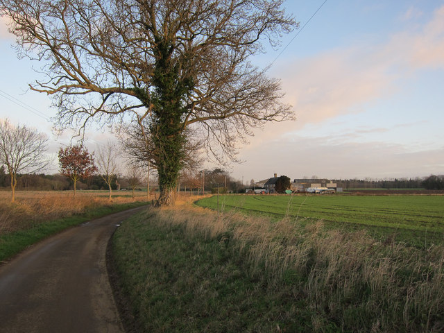
Kett's Oak is a historically significant heritage site located in Norfolk, England. It is situated near the village of Hethersett, about 6 miles southwest of Norwich. The oak tree holds great significance as it is believed to be associated with the 16th-century peasant revolt led by Robert Kett, known as Kett's Rebellion.
The rebellion took place in 1549 when Robert Kett and his followers rose against the enclosure of common lands by wealthy landowners, which severely affected the local peasants. The rebels set up camp near the oak tree, using it as a meeting place and a symbol of resistance against the oppressive ruling class. Kett's Oak became a rallying point for the rebellion, with thousands of rebels congregating under its branches.
Although the rebellion was eventually suppressed, the memory of Kett's Oak and the revolt remained significant in Norfolk's history. The tree itself has become a symbol of resistance and the fight for social justice. Over the centuries, Kett's Oak has been damaged by storms and decay, but it has been carefully preserved and protected as an important heritage site.
Today, visitors can visit Kett's Oak and witness the magnificent tree, which stands as a testament to the region's rebellious past. The site is marked by an information board providing historical context and details about Kett's Rebellion. It serves as a reminder of the struggles faced by ordinary people throughout history and the significance of their collective actions.
If you have any feedback on the listing, please let us know in the comments section below.
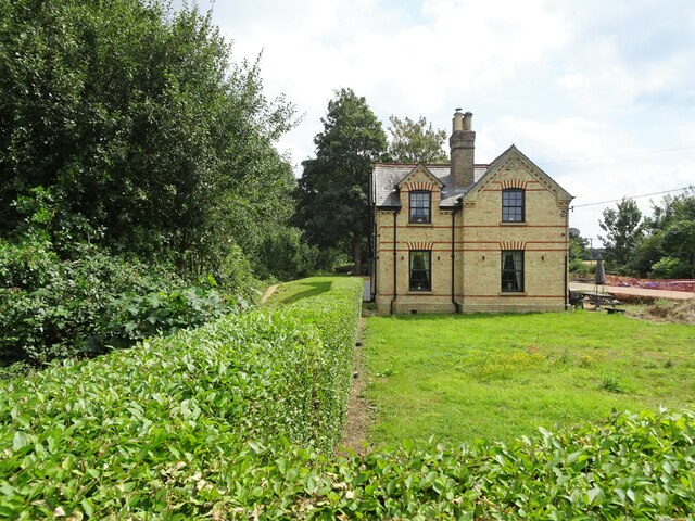
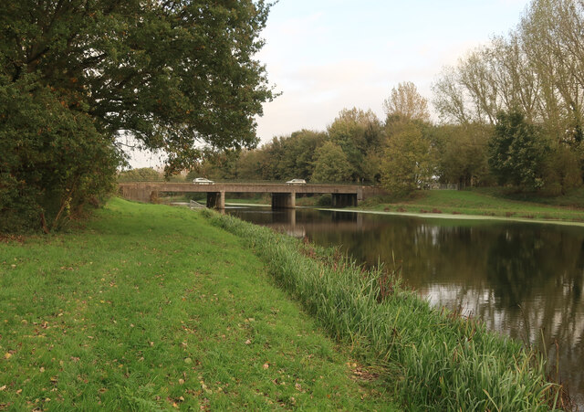
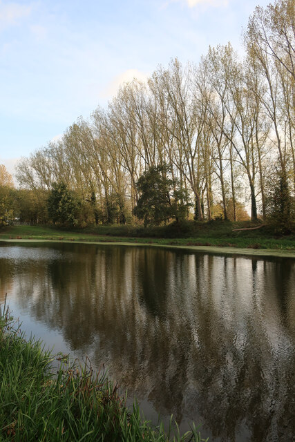
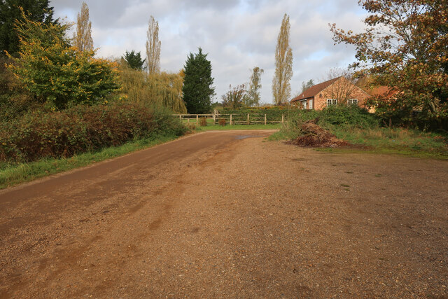
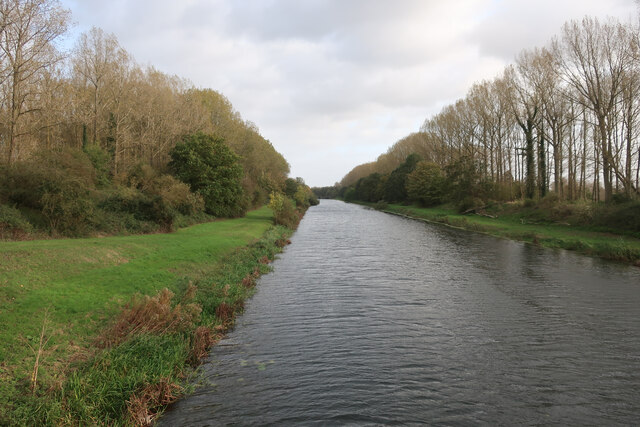
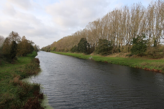
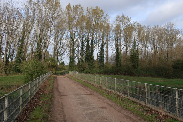
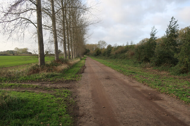
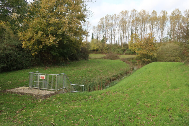
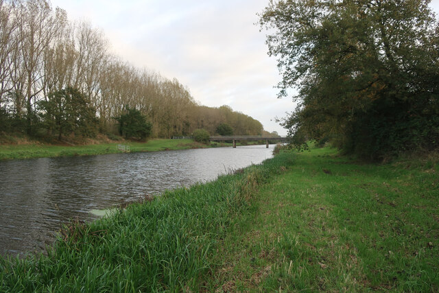
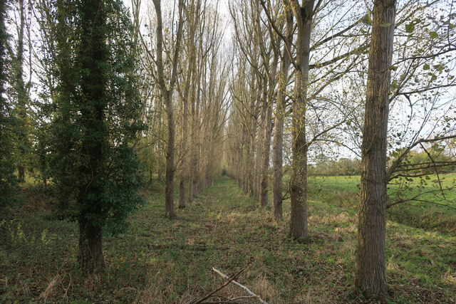
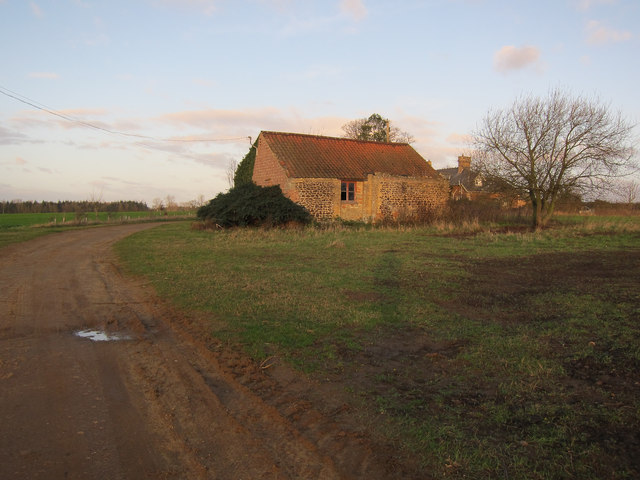
Kett's Oak Images
Images are sourced within 2km of 52.578/0.398 or Grid Reference TF6200. Thanks to Geograph Open Source API. All images are credited.
Kett's Oak is located at Grid Ref: TF6200 (Lat: 52.578, Lng: 0.398)
Administrative County: Norfolk
District: King's Lynn and West Norfolk
Police Authority: Norfolk
What 3 Words
///deferring.erupted.slang. Near Downham Market, Norfolk
Nearby Locations
Related Wikis
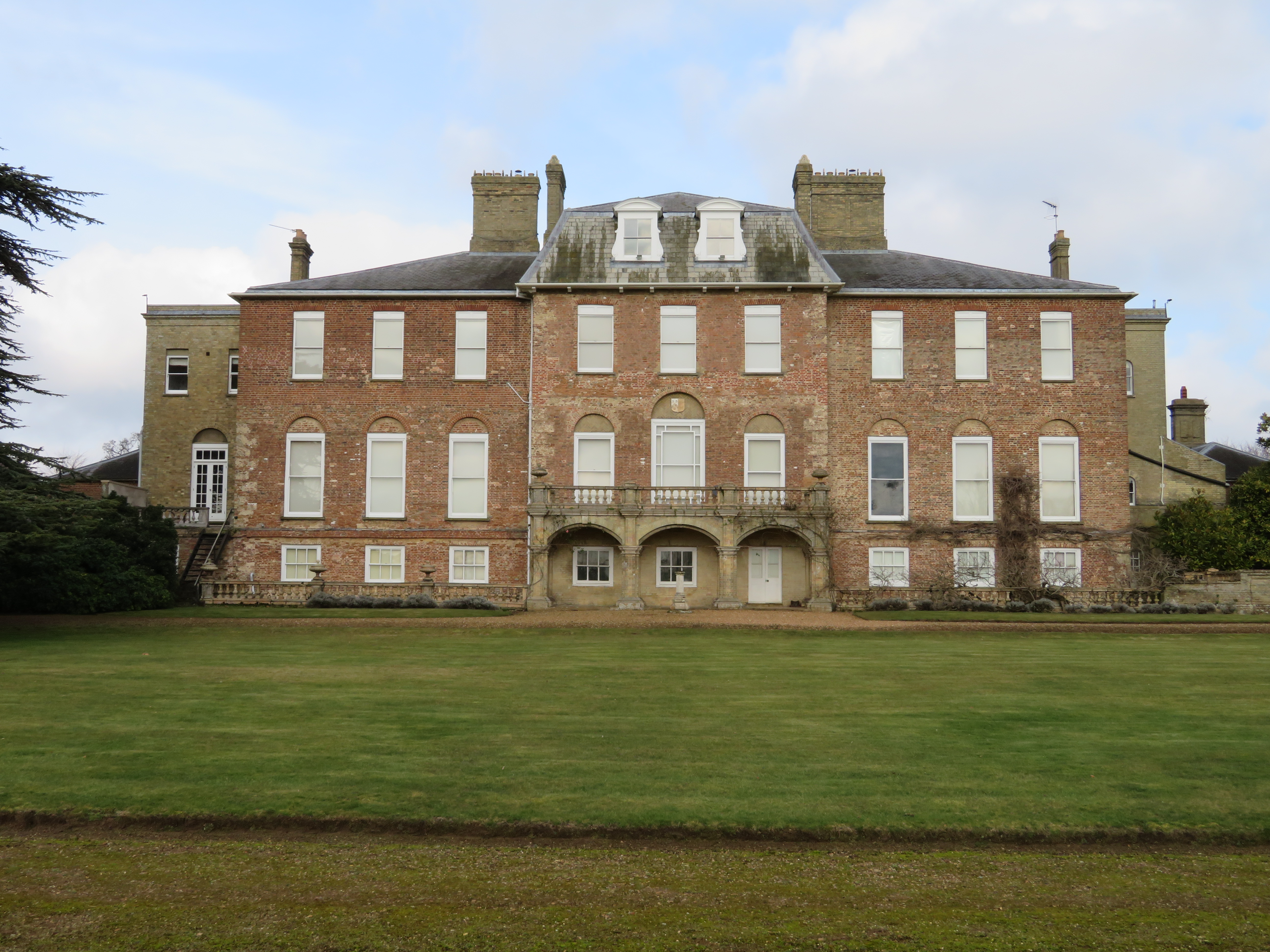
Ryston Hall
Ryston Hall, Ryston, Norfolk, England is a 17th-century country house built by Sir Roger Pratt for himself. The house was constructed between 1669 and...

Ryston
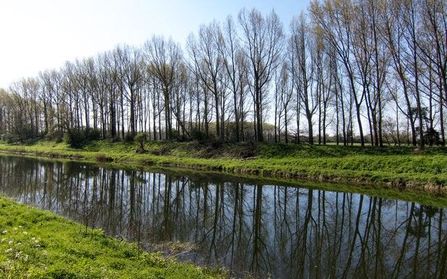
Ryston is a small village and civil parish in the English county of Norfolk. It once had its own railway station. The villages name means 'Brushwood farm/settlement...
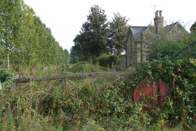
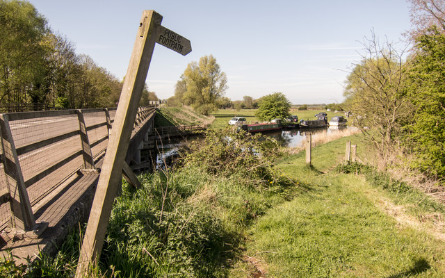
Ryston railway station
Ryston railway station was a railway station serving Fordham, Norfolk. It was on a branch line from Denver. == History == The Downham and Stoke Ferry Railway...

Fordham, Norfolk
Fordham is a small village and civil parish in the English county of Norfolk. The village is located 2.2 miles (3.5 km) north of Downham Market and 39...
St Mary's Church, Fordham
St Mary's Church is located to the south of the village of Fordham, Norfolk, England. It is a redundant Anglican parish church in the care of the Friends...

1974 Norfolk mid-air collision
The 1974 Norfolk mid-air collision happened on 9 August 1974 at Fordham Fen, Norfolk, England when a Royal Air Force McDonnell-Douglas F-4M Phantom FGR...

Hilgay Heronry
Hilgay Heronry is a 1.8-hectare (4.4-acre) biological Site of Special Scientific Interest south of Downham Market in Norfolk.This small wood has a nationally...

Denver, Norfolk
Denver is a village and civil parish in the English county of Norfolk. The village is situated on the River Great Ouse, approximately 1 mile (1.6 km) south...
Nearby Amenities
Located within 500m of 52.578,0.398Have you been to Kett's Oak?
Leave your review of Kett's Oak below (or comments, questions and feedback).