Kiftsgate Stone

Heritage Site in Gloucestershire Cotswold

England

Kiftsgate Stone

Grazing near The Lynches Wood View ESE from a bend in the road south east of Weston-sub-Edge.
Grazing near The Lynches Wood Credit: David P Howard

Kiftsgate Stone is a historic heritage site located in the county of Gloucestershire, England. Situated near the village of Chipping Campden, the stone holds significant cultural and historical importance in the region. The site is part of the Cotswolds Area of Outstanding Natural Beauty and attracts visitors from all over the world.

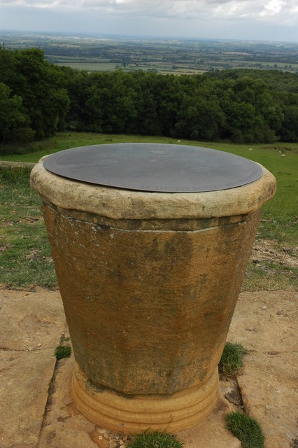
The Kiftsgate Stone is an ancient standing stone, estimated to be over 4,000 years old, dating back to the Bronze Age. It stands at approximately 2 meters tall, and its original purpose is believed to be of ritual or ceremonial significance. The stone is made of local limestone and has a weathered appearance due to its age.

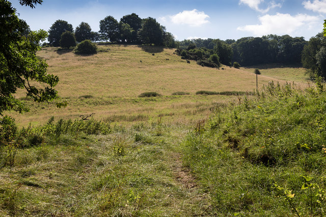
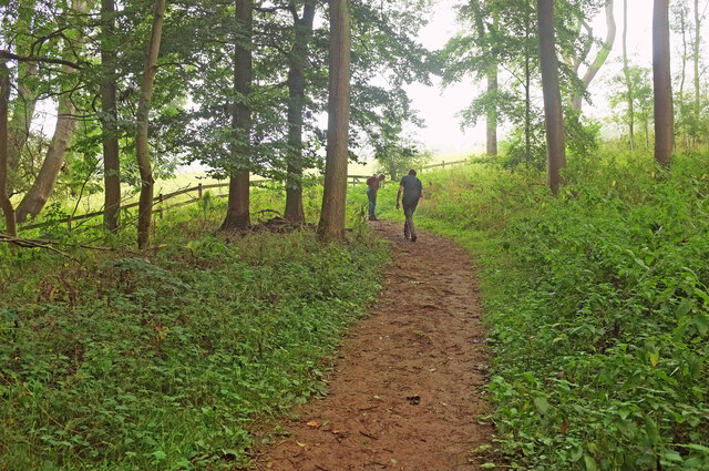
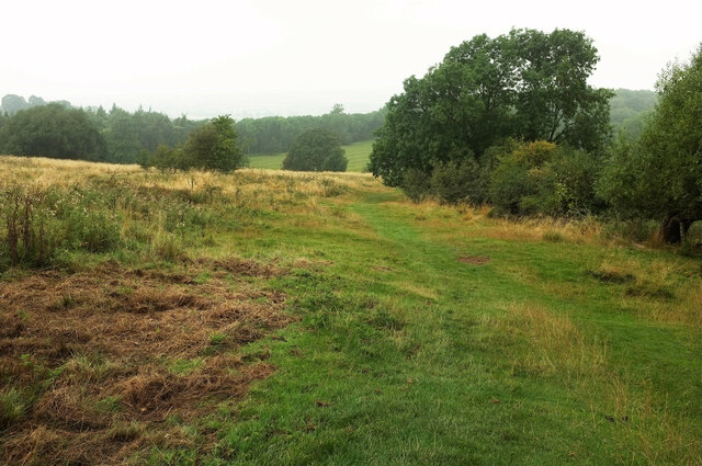
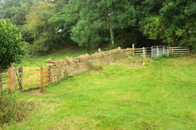
The stone is surrounded by a small area of grassland and is accessible to the public. Visitors can marvel at the stone's impressive size and imagine the ancient rituals that may have taken place in its presence. Its location also offers breathtaking panoramic views of the surrounding countryside, adding to the overall experience.

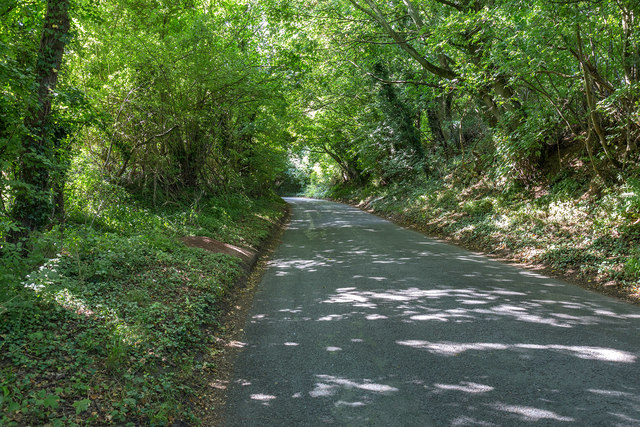
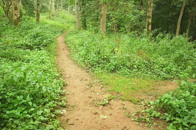
Kiftsgate Stone is well-preserved and maintained by local authorities, ensuring its protection for future generations. The site is easily accessible by foot and is often included as part of walking routes and guided tours in the area. It serves as a reminder of the region's rich history and cultural heritage, offering visitors a glimpse into the lives and beliefs of our ancient ancestors.

Visiting Kiftsgate Stone provides an opportunity to connect with history and nature, making it a popular destination for both history enthusiasts and nature lovers alike.

If you have any feedback on the listing, please let us know in the comments section below.

Kiftsgate Stone Images

Images are sourced within 2km of 52.045/-1.803 or Grid Reference SP1338. Thanks to Geograph Open Source API. All images are credited.

Grazing near The Lynches Wood View ESE from a bend in the road south east of Weston-sub-Edge.
Grazing near The Lynches Wood
View ESE from a bend in the road south east of Weston-sub-Edge.
Shady lane near Weston-sub-Edge View SSW up the tree covered lane.
Shady lane near Weston-sub-Edge
View SSW up the tree covered lane.
Footpath on Dover's Hill approaching Bold Gap Looking northward.
Footpath on Dover's Hill approaching Bold Gap
Looking northward.
Track through Bold Gap
Ridge and furrow above The Lynches Wood On the slopes of Dover's Hill and seen from Weston-sub-edge footpath 26. The wood is ahead and on the right.
Ridge and furrow above The Lynches Wood
On the slopes of Dover's Hill and seen from Weston-sub-edge footpath 26. The wood is ahead and on the right.
Fields near Top Farm A view from Weston-Sub-Edge footpath 14#4. In the background, the lane rises to Dover's Hill.
Fields near Top Farm
A view from Weston-Sub-Edge footpath 14#4. In the background, the lane rises to Dover's Hill.
The Lynches Wood Weston-sub-edge footpath 26 descends through the wood.
The Lynches Wood
Weston-sub-edge footpath 26 descends through the wood.
The Lynches Wood Weston-sub-edge footpath 26 passes a junction close to the top of the wood.
The Lynches Wood
Weston-sub-edge footpath 26 passes a junction close to the top of the wood.
The Lynches Wood Walkers reach the top of the wood on Weston-sub-edge footpath 26.
The Lynches Wood
Walkers reach the top of the wood on Weston-sub-edge footpath 26.
Hawthorns above The Lynches Wood From Weston-sub-edge footpath 26 soom after emerging from the wood, as it crosses the corner of the ridge and furrow field shown in <a href="https://www.geograph.org.uk/photo/6964579">SP1340 : Ridge and furrow above The Lynches Wood</a>. The fence marks the parish boundary between Weston-sub-edge (this side) and Aston Sub Edge.
Hawthorns above The Lynches Wood
From Weston-sub-edge footpath 26 soom after emerging from the wood, as it crosses the corner of the ridge and furrow field shown in SP1340 : Ridge and furrow above The Lynches Wood. The fence marks the parish boundary between Weston-sub-edge (this side) and Aston Sub Edge.
Fallen branches above The Lynches Wood Looking right from <a href="https://www.geograph.org.uk/photo/6964579">SP1340 : Ridge and furrow above The Lynches Wood</a> across the ridge and furrow field and roughly along the line of Weston-sub-edge footpath 26 to the wood.
Fallen branches above The Lynches Wood
Looking right from SP1340 : Ridge and furrow above The Lynches Wood across the ridge and furrow field and roughly along the line of Weston-sub-edge footpath 26 to the wood.
Footpath to The Lynches Wood Weston-sub-edge footpath 26 descending gently and then more steeply to meet the area shown in <a href="https://www.geograph.org.uk/photo/6964579">SP1340 : Ridge and furrow above The Lynches Wood</a>. The field boundary on the right is the parish boundary between Weston-sub-edge (this side) and Aston Sub Edge.
Footpath to The Lynches Wood
Weston-sub-edge footpath 26 descending gently and then more steeply to meet the area shown in SP1340 : Ridge and furrow above The Lynches Wood. The field boundary on the right is the parish boundary between Weston-sub-edge (this side) and Aston Sub Edge.
Near Bold Gap The field boundary is the parish boundary between Weston-sub-edge (this side) and Aston Sub Edge. Weston-sub-edge footpath 26 ends here, where it meets a bridleway. This is Aston Subedge bridleway 9 on the far side of the wall, and Weston-sub-edge bridleway 21#1 on this side. Or perhaps the bridleway stays beyond the wall and climbs through the wood, while the gates are for walkers, who climb steps to the right. I recall being confused. The kissing gate, incidentally, had only been installed a few months before this was taken.
Near Bold Gap
The field boundary is the parish boundary between Weston-sub-edge (this side) and Aston Sub Edge. Weston-sub-edge footpath 26 ends here, where it meets a bridleway. This is Aston Subedge bridleway 9 on the far side of the wall, and Weston-sub-edge bridleway 21#1 on this side. Or perhaps the bridleway stays beyond the wall and climbs through the wood, while the gates are for walkers, who climb steps to the right. I recall being confused. The kissing gate, incidentally, had only been installed a few months before this was taken.
Path, Bold Gap The steps lead down to the area shown in <a href="https://www.geograph.org.uk/photo/7342052">SP1440 : Near Bold Gap</a>, from where Weston-sub-edge footpath 26 heads left to The Lynches Wood, while straight on is for the B4035 Aston Road via Aston Subedge bridleway 9. Whether these steps form part of Weston-sub-edge bridleway 21#1 I really wouldn't like to say.
Path, Bold Gap
The steps lead down to the area shown in SP1440 : Near Bold Gap, from where Weston-sub-edge footpath 26 heads left to The Lynches Wood, while straight on is for the B4035 Aston Road via Aston Subedge bridleway 9. Whether these steps form part of Weston-sub-edge bridleway 21#1 I really wouldn't like to say.
Dover's Hill Looking left from <a href="https://www.geograph.org.uk/photo/7342110">SP1339 : Dover's Hill</a> along and down the scarp slope.
Dover's Hill
Looking left from SP1339 : Dover's Hill along and down the scarp slope.
Footpath near Weston-Sub-Edge Weston-sub-edge footpath 14#4 runs along the edge of fields, gradually converging with the Cotswold scarp.
Footpath near Weston-Sub-Edge
Weston-sub-edge footpath 14#4 runs along the edge of fields, gradually converging with the Cotswold scarp.
Dover's Hill - Bold Gap Kissing gate on a short circular path leading downhill into a grassy amphitheatre.
Dover's Hill - Bold Gap
Kissing gate on a short circular path leading downhill into a grassy amphitheatre.
Dover's Hill On a circular path heading from Bold Gap, across the bottom of the grassy amphitheatre and then eventually back uphill to the beacon.
Dover's Hill
On a circular path heading from Bold Gap, across the bottom of the grassy amphitheatre and then eventually back uphill to the beacon.
Show me another place!

Kiftsgate Stone is located at Grid Ref: SP1338 (Lat: 52.045, Lng: -1.803)

Administrative County: Gloucestershire

District: Cotswold

Police Authority: Gloucestershire

What 3 Words

///firelight.corrupted.contained. Near Chipping Campden, Gloucestershire

Related Wikis

Dover's Hill

Dover's Hill is a 754 feet (230 metres) hill in the Cotswolds area of central England. The hill is 1 mile (1.6 km) north-west of Chipping Campden in Gloucestershire...

Guild and School of Handicraft

The Guild and School of Handicraft was established in 1888 in London, later moving to Chipping Campden in Gloucestershire, England, as a community of artists...

Chipping Campden Town Hall

Chipping Campden Town Hall is a municipal building in the High Street, Chipping Campden, Gloucestershire, England. The building, which is the meeting place...

Chipping Campden

Chipping Campden is a market town in the Cotswold district of Gloucestershire, England. It is notable for its terraced High Street, dating from the 14th...

Nearby Amenities

Located within 500m of 52.045,-1.803
Barrier: stile
Source: survey
Lat/Long: 52.0480468/-1.8053427
Power: pole
Lat/Long: 52.0437008/-1.8060091
Power: pole
Lat/Long: 52.0436616/-1.8089864
Power: pole
Lat/Long: 52.0436641/-1.8078645
Power: pole
Lat/Long: 52.0437635/-1.806685
Power: pole
Lat/Long: 52.0436233/-1.8049463
Power: pole
Lat/Long: 52.0451835/-1.7958529
Power: pole
Lat/Long: 52.0447892/-1.7969258
Power: pole
Lat/Long: 52.0446098/-1.7978914
Power: pole
Lat/Long: 52.0443739/-1.7991333
Power: pole
Lat/Long: 52.0441578/-1.8002772
Power: pole
Lat/Long: 52.0439433/-1.8014125
Campden House Lodge
Power: pole
Transformer: distribution
Voltage Primary: 11000
Lat/Long: 52.043733/-1.8025256
Power: pole
Lat/Long: 52.043521/-1.8036729
Power: pole
Lat/Long: 52.0429601/-1.8040819
Power: pole
Lat/Long: 52.0422593/-1.8045728
Power: pole
Lat/Long: 52.0415838/-1.8050777
Power: pole
Lat/Long: 52.0409461/-1.8050053
The data included in this document is from www.openstreetmap.org. The data is made available under ODbL.

Have you been to Kiftsgate Stone?

Leave your review of Kiftsgate Stone below (or comments, questions and feedback).