Hillslap Tower

Heritage Site in Roxburghshire

Scotland

Hillslap Tower

Stripwood, Blackcock Hill
Stripwood, Blackcock Hill Credit: Richard Webb

Hillslap Tower, located in Roxburghshire, Scotland, is a historic heritage site that offers a glimpse into the region's rich architectural and cultural history. The tower stands proudly on a hilltop, surrounded by lush greenery, commanding panoramic views of the surrounding countryside.

Built in the 16th century, Hillslap Tower is a well-preserved example of a Scottish border tower house. It is constructed with local stone and features a distinctive L-shaped design, which was common during that era. The tower stands three stories high and is topped with a pitched roof.

Visitors to Hillslap Tower can explore its interior, which has been carefully preserved to reflect its original appearance. The ground floor houses a vaulted basement, which was used for storage and defense. The first floor consists of a great hall, complete with a large fireplace and ornate wooden ceiling beams, showcasing the tower's former grandeur. The upper floors contain smaller chambers and living quarters.

This heritage site provides a unique opportunity for visitors to step back in time and imagine life in a Scottish tower house during the 16th century. The tower's strategic location and defensive features highlight the turbulent history of the Scottish Borders, withstanding numerous conflicts and sieges over the centuries.

Hillslap Tower is a testament to the architectural prowess of its time and serves as an important reminder of Roxburghshire's historical significance. Its picturesque setting and well-preserved structure make it a must-visit destination for history enthusiasts and those interested in experiencing Scotland's rich cultural heritage.

If you have any feedback on the listing, please let us know in the comments section below.

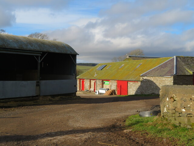
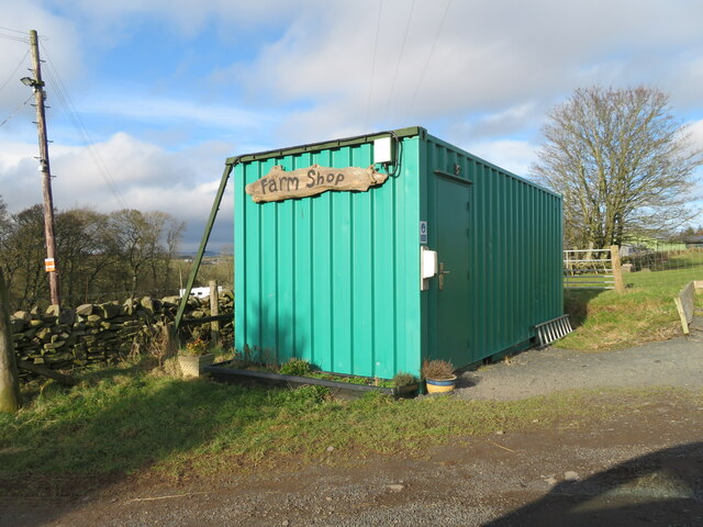
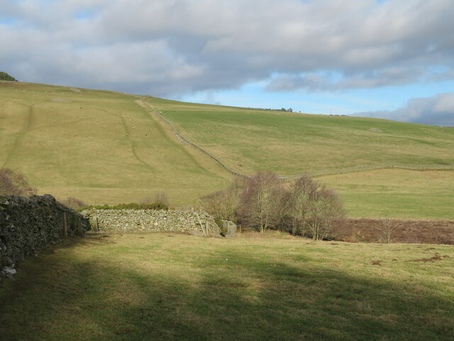
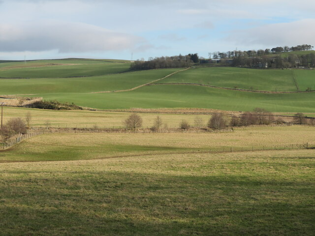
Hillslap Tower Images

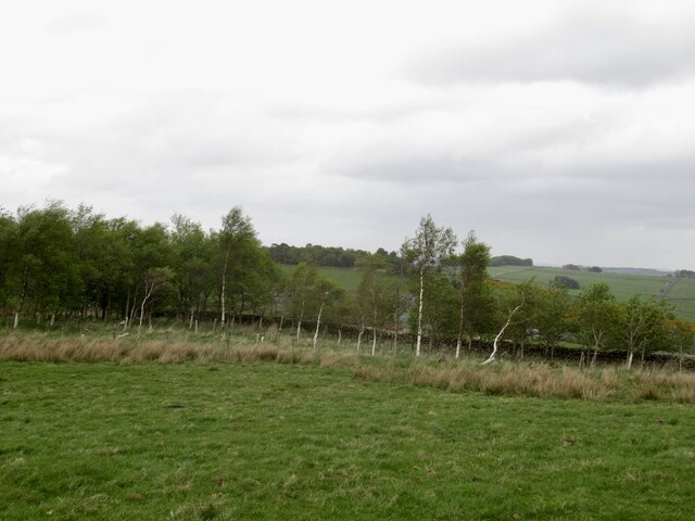
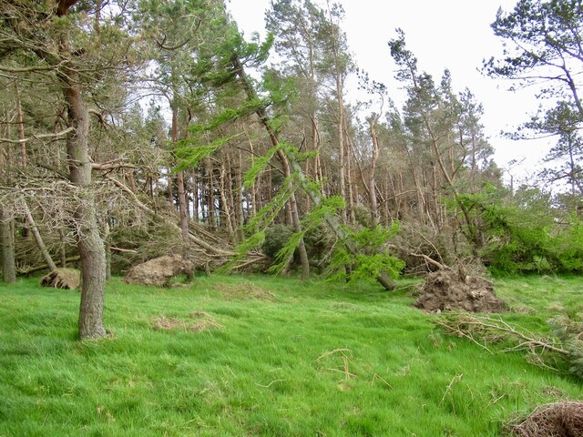
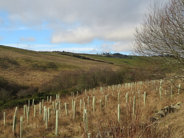
Images are sourced within 2km of 55.647/-2.77 or Grid Reference NT5139. Thanks to Geograph Open Source API. All images are credited.

Stripwood, Blackcock Hill
Windthrow, Blackcock Plantation After the stormy Winter of 2021/2022 there were a lot of trees strewn about on the ground. Hilltop plantations like this were particularly vulnerable.
Windthrow, Blackcock Plantation
After the stormy Winter of 2021/2022 there were a lot of trees strewn about on the ground. Hilltop plantations like this were particularly vulnerable.
Shooting range in an old quarry The Joint Services Pistol Club range at Colmslie. It has had a makeover since Richard Webb visited in 2006 <a href="https://www.geograph.org.uk/photo/114684">NT5040 : Quarry on the Allan Water</a>.
Shooting range in an old quarry
The Joint Services Pistol Club range at Colmslie. It has had a makeover since Richard Webb visited in 2006 NT5040 : Quarry on the Allan Water.
Trees by the Allan Water A fairly steep sided valley of the Allan Water a tributary of the River Tweed, which it joins at Langlee, near Tweedbank, with new planting on the east bank.
Trees by the Allan Water
A fairly steep sided valley of the Allan Water a tributary of the River Tweed, which it joins at Langlee, near Tweedbank, with new planting on the east bank.
Farm buildings at Over Langshaw With Over Langshaw Farm ice cream dispenser, between the rightmost red doors.
Farm buildings at Over Langshaw
With Over Langshaw Farm ice cream dispenser, between the rightmost red doors.
Over Langshaw Farm Shop A novel use for a container.
Over Langshaw Farm Shop
A novel use for a container.
Pastures near Allan Water Looking down to the Allan Water, and beyond.
Pastures near Allan Water
Looking down to the Allan Water, and beyond.
The valley of the Allan Water Looking east across the valley to Over Langshaw.
The valley of the Allan Water
Looking east across the valley to Over Langshaw.
Bluecairn Road A trackway above Langshaw. There is an electric fence along the way, but it is passable using one of those slinky things with an insulated handle.
Bluecairn Road
A trackway above Langshaw. There is an electric fence along the way, but it is passable using one of those slinky things with an insulated handle.
Ewe and lamb, Over Langshaw Overlooking the Moss Burn, and some moss land.
Ewe and lamb, Over Langshaw
Overlooking the Moss Burn, and some moss land.
Field near the Bluecairn Road
Bluecairn Road A trackway along a ridge, the surface varies from a tractor track to grass.
Bluecairn Road
A trackway along a ridge, the surface varies from a tractor track to grass.
Electric gate A "slinky" with an insulated handle is often used to complete electric fence circuits across gates.
Electric gate
A "slinky" with an insulated handle is often used to complete electric fence circuits across gates.
Field, Langshaw
Field, Langshaw
Allan Water and hillside
Hillside above Langshaw A few years earlier the hillside was dug up for pipeline construction.
Hillside above Langshaw
A few years earlier the hillside was dug up for pipeline construction.
The Allan Water The water level was low after a long spell of dry summer weather.
The Allan Water
The water level was low after a long spell of dry summer weather.
Crossing The Allan Water This bridge crosses the Allan Water near Langshaw.
Crossing The Allan Water
This bridge crosses the Allan Water near Langshaw.
Show me another place!

Hillslap Tower is located at Grid Ref: NT5139 (Lat: 55.647, Lng: -2.77)

Unitary Authority: The Scottish Borders

Police Authority: The Lothians and Scottish Borders

What 3 Words

///already.hunk.racetrack. Near Galashiels, Scottish Borders

Related Wikis

Gala Water

The Gala Water (Lowland Scots: Gala Watter; Scottish Gaelic An Geal Ath) is a river in the Scottish Borders area of Scotland and a tributary of the River...

Buckholm

Buckholm is a farm near to the A7, in the Scottish Borders, Galashiels area of Scotland. Places nearby include Abbotsford, the Bow Castle Broch, Clovenfords...

Allanshaws

Allanshaws is a place and farm off the B6362, in Lauderdale, by the Allan Water, in the parish of Melrose in the Scottish Borders area of Scotland, formerly...

Galashiels Golf Club

Galashiels Golf Club is a golf course to the north of Galashiels, Scotland. The course was reduced from 18 holes to 9 holes in 2008. == History == Founded...

Nearby Amenities

Located within 500m of 55.647,-2.77
Langshaw
Is In: Borders, Scotland, UK
Place: hamlet
Lat/Long: 55.6483095/-2.7708511
Over Langshaw Road End
Naptan AtcoCode: 69001369
Naptan Bearing: N
Naptan BusStopType: CUS
Naptan CommonName: Over Langshaw Road End
Naptan Indicator: Opp
Naptan Landmark: Village
Naptan NaptanCode: 72726353
Naptan Street: Main Road
Naptan Verified: no
Source: naptan_import
Lat/Long: 55.6483436/-2.7711935
Over Langshaw Road End
Local Ref: AT
Naptan AtcoCode: 69001370
Naptan Bearing: S
Naptan BusStopType: CUS
Naptan CommonName: Over Langshaw Road End
Naptan Indicator: At
Naptan Landmark: Village
Naptan NaptanCode: 72726343
Naptan Street: Main Road
Naptan Verified: no
Source: naptan_import
Lat/Long: 55.6483901/-2.7709402
Noexit: yes
Lat/Long: 55.6456025/-2.7754027
Power: pole
Lat/Long: 55.6478327/-2.7739732
Power: pole
Lat/Long: 55.6472582/-2.7731588
Power: pole
Lat/Long: 55.6469224/-2.7726751
Power: pole
Lat/Long: 55.6464224/-2.771955
Power: pole
Lat/Long: 55.6457962/-2.7710489
Power: pole
Lat/Long: 55.6452461/-2.771278
Power: pole
Lat/Long: 55.6446688/-2.7714892
Power: pole
Lat/Long: 55.6438731/-2.7713976
Power: pole
Lat/Long: 55.6430702/-2.7713187
Power: pole
Lat/Long: 55.6472324/-2.7720848
Power: pole
Lat/Long: 55.6476345/-2.7712729
Power: pole
Lat/Long: 55.6476/-2.7704763
Power: pole
Lat/Long: 55.6475656/-2.769247
Power: pole
Lat/Long: 55.6475239/-2.7681119
Power: pole
Lat/Long: 55.6474981/-2.7670404
Power: pole
Lat/Long: 55.6474622/-2.7657501
Power: pole
Lat/Long: 55.6474291/-2.7645208
Power: pole
Lat/Long: 55.6473947/-2.7632991
Power: pole
Lat/Long: 55.648242/-2.7711176
Power: pole
Lat/Long: 55.6485321/-2.7712398
Power: pole
Lat/Long: 55.6488409/-2.7713543
Power: pole
Lat/Long: 55.6461581/-2.7777858
Power: pole
Lat/Long: 55.6463664/-2.7760755
Power: pole
Lat/Long: 55.6465143/-2.7745993
Power: pole
Lat/Long: 55.6471735/-2.7743092
Power: pole
Lat/Long: 55.6484861/-2.773678
Power: pole
Lat/Long: 55.6491738/-2.774172
Power: pole
Lat/Long: 55.649928/-2.7747138
Power: pole
Lat/Long: 55.6491453/-2.7744186
Power: pole
Lat/Long: 55.6490405/-2.7752712
Power: pole
Lat/Long: 55.6489328/-2.7761442
Power: pole
Lat/Long: 55.6489026/-2.7771215
The data included in this document is from www.openstreetmap.org. The data is made available under ODbL.

Have you been to Hillslap Tower?

Leave your review of Hillslap Tower below (or comments, questions and feedback).