Colmslie
Settlement in Roxburghshire
Scotland
Colmslie
Colmslie is a small village located in Roxburghshire, a historic county in the Scottish Borders region of Scotland. Situated on the banks of the River Teviot, it is known for its picturesque setting and tranquil atmosphere.
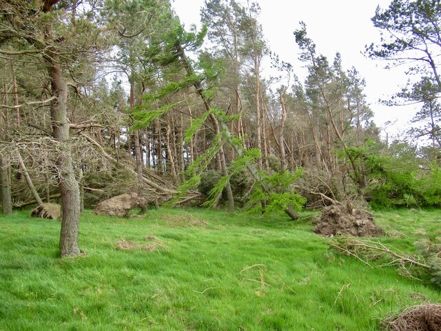
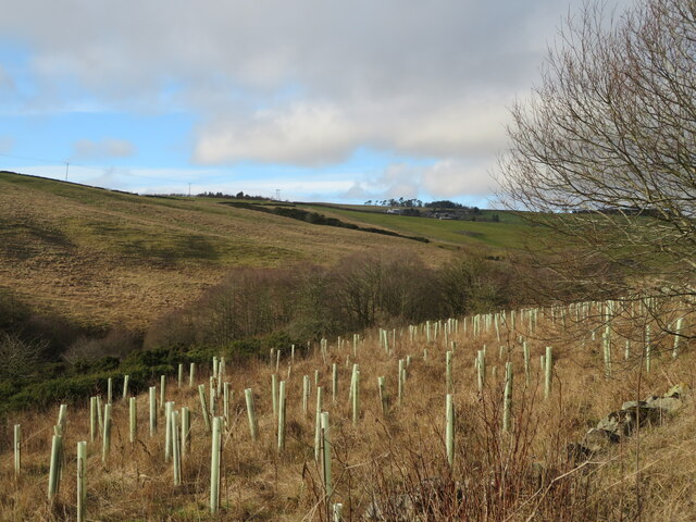
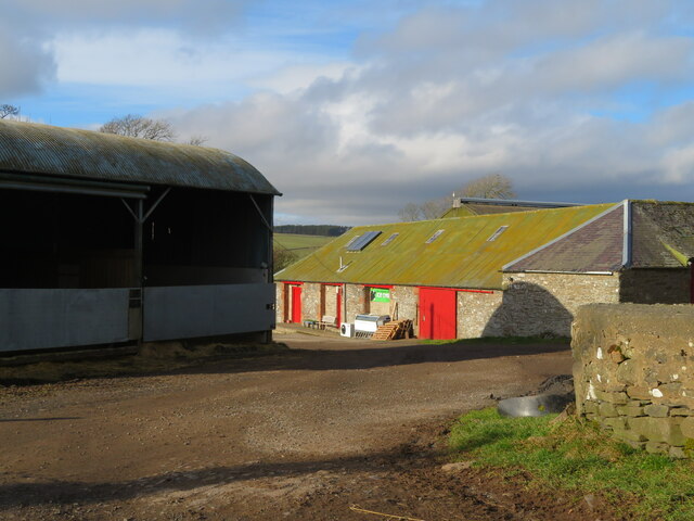
The village is primarily residential, with a population of approximately 200 residents. The architecture of Colmslie reflects its historical roots, with several traditional stone houses and cottages lining its streets. The village is surrounded by rolling hills and lush green fields, providing stunning views of the surrounding countryside.
Colmslie is well-connected to nearby towns and cities, with the town of Hawick located just 5 miles to the east. This proximity allows residents to access a range of amenities, including shops, schools, and healthcare facilities.
The village is also known for its community spirit, with various social events and activities organized throughout the year. The annual Colmslie Village Fair is a highlight, bringing together locals and visitors for a day of entertainment, stalls, and traditional games.
Outdoor enthusiasts will find plenty to explore in the surrounding area, with ample opportunities for walking, cycling, and fishing along the river. The nearby Teviotdale Leisure Centre offers additional recreational facilities, including a swimming pool and fitness classes.
In summary, Colmslie is a charming village in Roxburghshire that offers a peaceful and scenic lifestyle. Its close-knit community, beautiful surroundings, and convenient location make it an appealing place to live or visit.
If you have any feedback on the listing, please let us know in the comments section below.
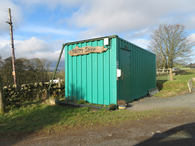
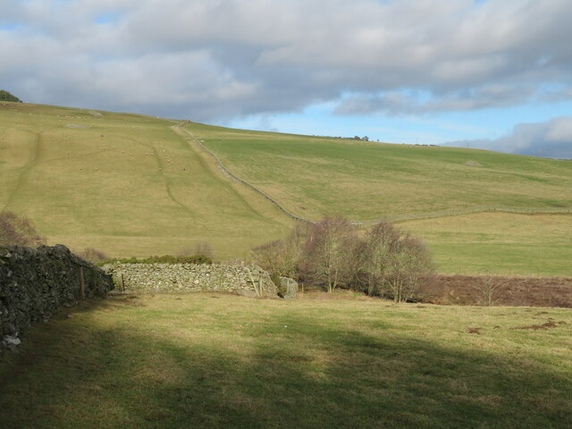
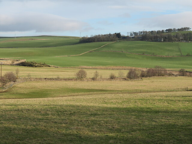
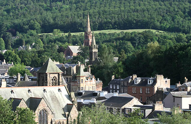
Colmslie Images
Images are sourced within 2km of 55.642066/-2.7800299 or Grid Reference NT5139. Thanks to Geograph Open Source API. All images are credited.


Colmslie is located at Grid Ref: NT5139 (Lat: 55.642066, Lng: -2.7800299)
Unitary Authority: The Scottish Borders
Police Authority: The Lothians and Scottish Borders
What 3 Words
///fidgeting.muscular.deflate. Near Galashiels, Scottish Borders
Nearby Locations
Related Wikis

Buckholm
Buckholm is a farm near to the A7, in the Scottish Borders, Galashiels area of Scotland. Places nearby include Abbotsford, the Bow Castle Broch, Clovenfords...

Gala Water
The Gala Water (Lowland Scots: Gala Watter; Scottish Gaelic An Geal Ath) is a river in the Scottish Borders area of Scotland and a tributary of the River...
Galashiels Golf Club
Galashiels Golf Club is a golf course to the north of Galashiels, Scotland. The course was reduced from 18 holes to 9 holes in 2008. == History == Founded...
Galashiels
Galashiels (; Scots: Gallae, Scottish Gaelic: An Geal Àth) is a town in the Scottish Borders with a population of around 12,600. Its name is often colloquially...

Galashiels railway station
Galashiels is a railway station on the Borders Railway, which runs between Edinburgh Waverley and Tweedbank. The station, situated 33 miles 22 chains...
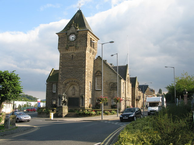
Galashiels Burgh Chambers
Galashiels Burgh Chambers is a municipal building in Albert Place, Galashiels, Scotland. The building, which was the headquarters of Galashiels Burgh Council...
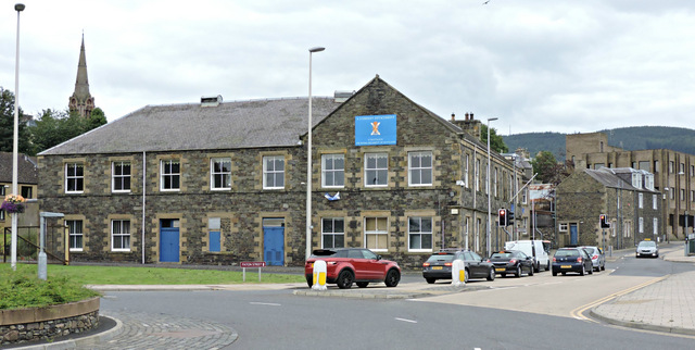
Paton Street drill hall, Galashiels
The Paton Street drill hall is a military installation in Galashiels, Scotland. == History == The building was designed as offices for Mid Mill, sometimes...
Galashiels Baptist Church
Galashiels Baptist Church is located in the town of Galashiels, Scottish Borders, Scotland, UK. It was founded in 1804 and is affiliated to the Baptist...
Nearby Amenities
Located within 500m of 55.642066,-2.7800299Have you been to Colmslie?
Leave your review of Colmslie below (or comments, questions and feedback).