Hightown Common
Heritage Site in Hampshire
England
Hightown Common
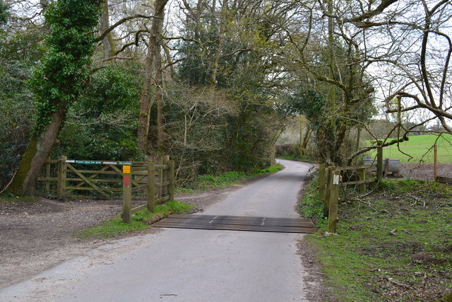
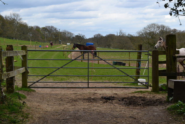
Hightown Common is a picturesque heritage site located in Hampshire, England. Situated on the outskirts of the village of Hightown, this common covers an area of approximately 300 acres. It is known for its diverse flora and fauna, offering a haven for nature enthusiasts and wildlife lovers alike.
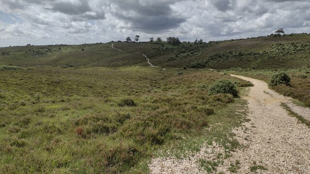
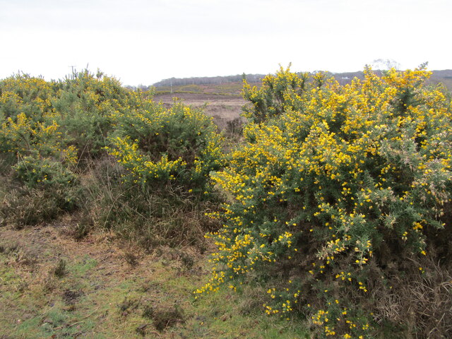
The common consists of a mix of heathland, woodland, and grassland, providing a rich and varied habitat for a wide range of species. Visitors can expect to see an array of wildflowers, including heather, gorse, and orchids, which create a vibrant and colorful landscape during the summer months. The common is also home to an abundance of wildlife, such as rabbits, deer, and a variety of bird species, including the rare Dartford warbler.
Throughout the year, the common attracts walkers, joggers, and cyclists who enjoy the tranquil surroundings and the network of well-maintained footpaths and cycle trails. There are also several picnic areas, making it an ideal spot for families to relax and enjoy a day out in nature.
Furthermore, Hightown Common holds historical significance, with evidence of prehistoric activity in the area. Archaeological remains, including Bronze Age barrows and Iron Age hillforts, can be found scattered across the site, adding a fascinating dimension to its heritage value.
Overall, Hightown Common offers a unique blend of natural beauty, recreational opportunities, and historical interest, making it a beloved heritage site within the Hampshire region.
If you have any feedback on the listing, please let us know in the comments section below.
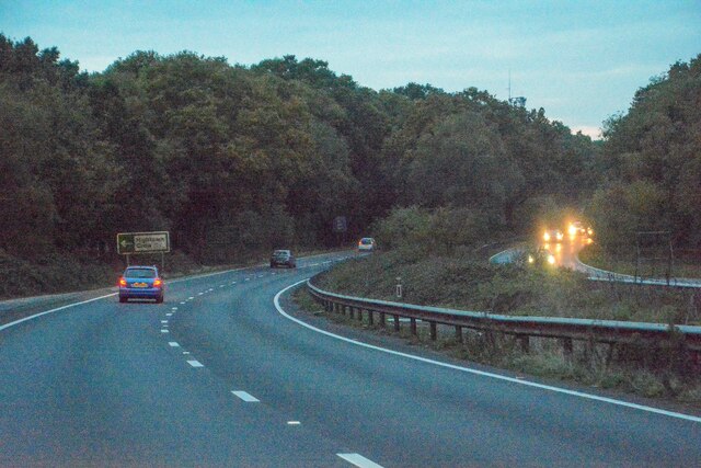
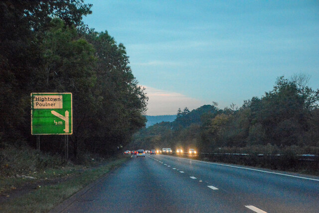
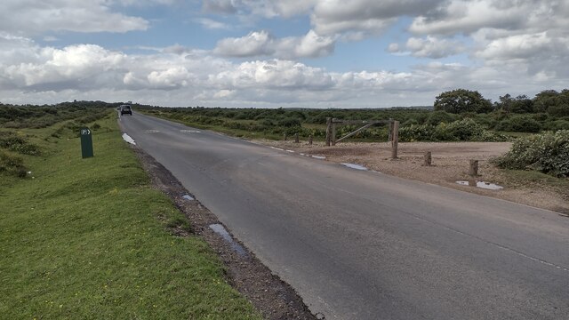
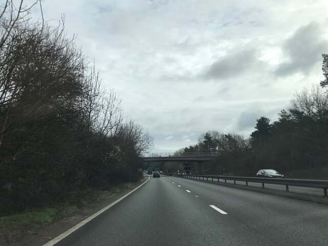
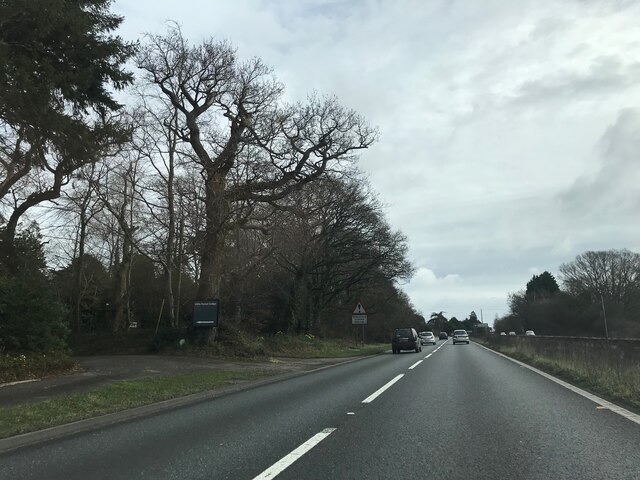
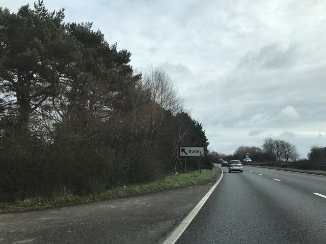
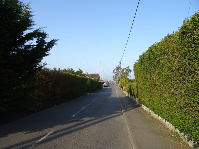
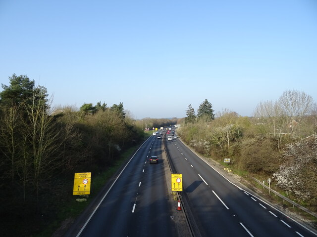
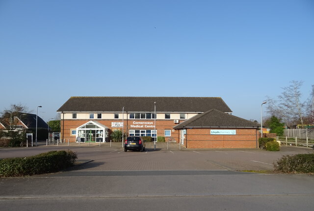
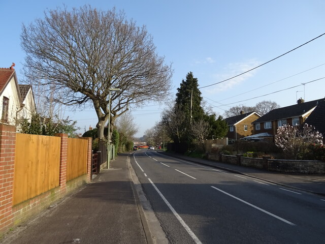
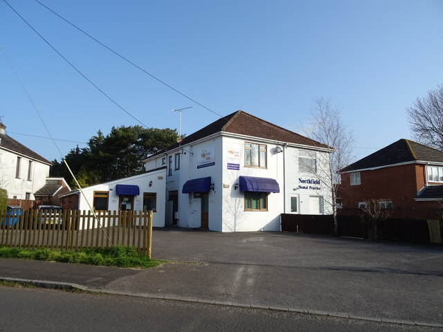
Hightown Common Images
Images are sourced within 2km of 50.851/-1.746 or Grid Reference SU1705. Thanks to Geograph Open Source API. All images are credited.
Hightown Common is located at Grid Ref: SU1705 (Lat: 50.851, Lng: -1.746)
Police Authority: Hampshire
What 3 Words
///bumps.purified.flexibly. Near Ringwood, Hampshire
Nearby Locations
Related Wikis

Picket Hill
Picket Hill is a hamlet next to Picket Post in the New Forest National Park of Hampshire, England. It lies on the outskirts of Ringwood.
Forest Corner
Forest Corner is a village in the New Forest National Park of Hampshire, England. It is on the A31 road travelling between Southampton and Bournemouth...
Shobley
Shobley is a small hamlet in the New Forest National Park of Hampshire, England. Its nearest town is Ringwood, which lies approximately 1.8 miles (2.9...

Hangersley
Hangersley is a hamlet in the New Forest National Park of Hampshire, England. It only lies exactly 1 mile (1.5 km) from Ringwood, its nearest town. �...
Linford, Hampshire
Linford is a hamlet in the New Forest district of Hampshire, England, close to the market town of Ringwood. It is about 1.5 miles east of Ringwood. It...

Picket Post
Picket Post is a road junction and service area in the New Forest National Park of Hampshire, England. It lies on the A31 road. == Facilities == Picket...
Poulner
Poulner (/'paʊnə/) is a small village in the civil parish of Ringwood in the New Forest district, in Hampshire, England, although its northern fringe lies...

Hightown, Hampshire
Hightown is a village in the New Forest district of Hampshire, England. Its nearest town is Ringwood, which lies approximately 0.8 miles (1.3 km) north...
Nearby Amenities
Located within 500m of 50.851,-1.746Have you been to Hightown Common?
Leave your review of Hightown Common below (or comments, questions and feedback).