Davey's Copse
Wood, Forest in Hampshire New Forest
England
Davey's Copse
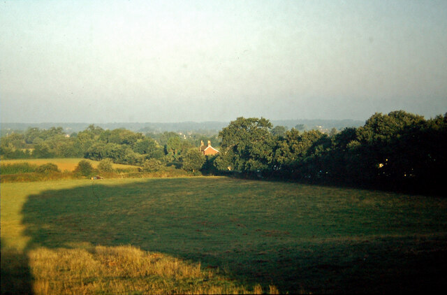
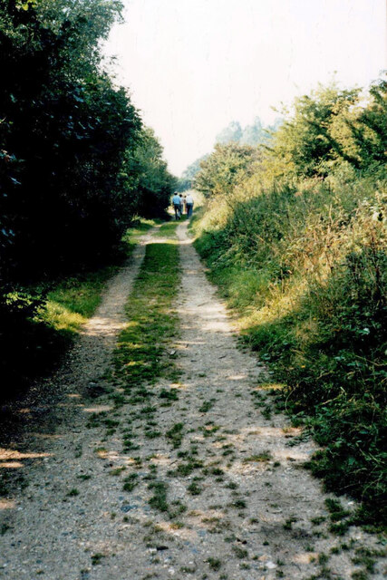
Davey's Copse is a picturesque woodland located in the county of Hampshire, England. Covering an area of approximately 50 acres, this forest is a popular destination for nature enthusiasts and outdoor enthusiasts alike.
The copse is characterized by its dense and diverse tree population, including oak, beech, and ash trees. These ancient trees provide a habitat for a wide range of wildlife, making it a haven for birdwatchers and nature photographers. Visitors can often spot species such as woodpeckers, owls, and deer roaming through the forest.
The woodland features a network of well-maintained trails, making it easily accessible for walkers, hikers, and cyclists. These paths wind through the forest, offering visitors the opportunity to explore the natural beauty of the copse at their own pace. Along the way, there are several designated picnic areas and benches where visitors can rest and enjoy the tranquility of the surroundings.
One of the highlights of Davey's Copse is its seasonal displays of wildflowers. In spring, the forest floor is adorned with a vibrant carpet of bluebells, creating a breathtaking scene that attracts many visitors. During autumn, the copse transforms into a kaleidoscope of colors as the leaves change, providing a stunning backdrop for photographers.
Davey's Copse is managed by the local authorities, who ensure the preservation and conservation of the woodland. The copse is open to the public year-round, and there is no admission fee, making it a popular destination for families and individuals seeking a peaceful retreat in nature.
If you have any feedback on the listing, please let us know in the comments section below.
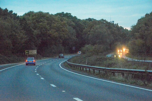
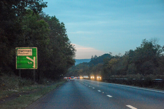
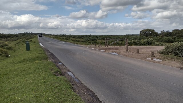
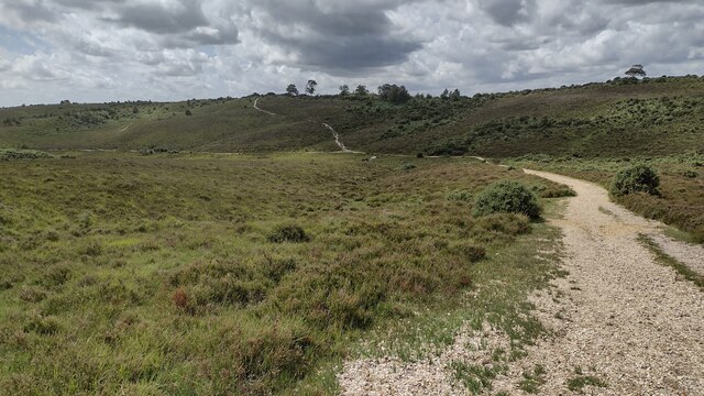
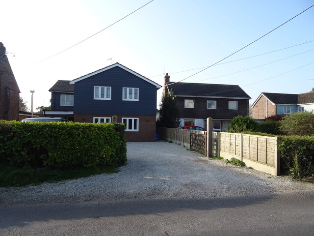
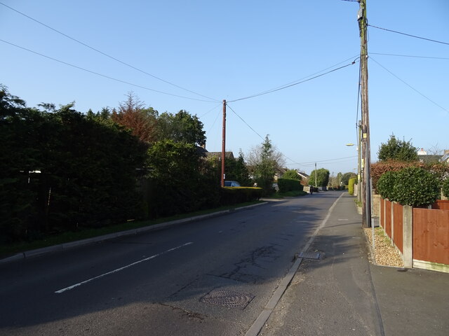
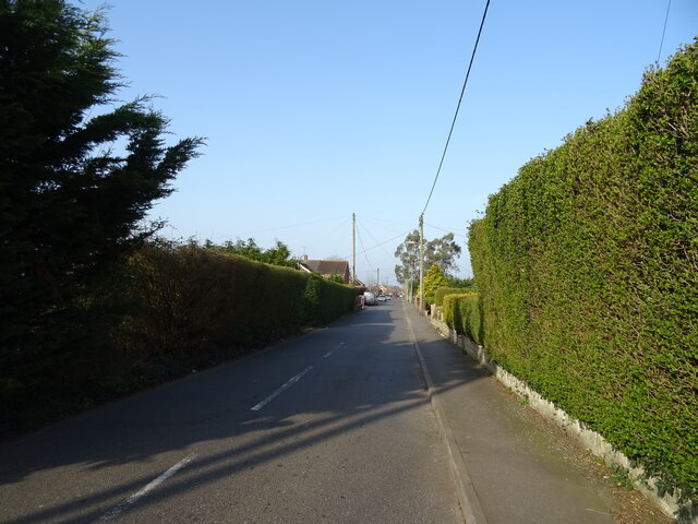
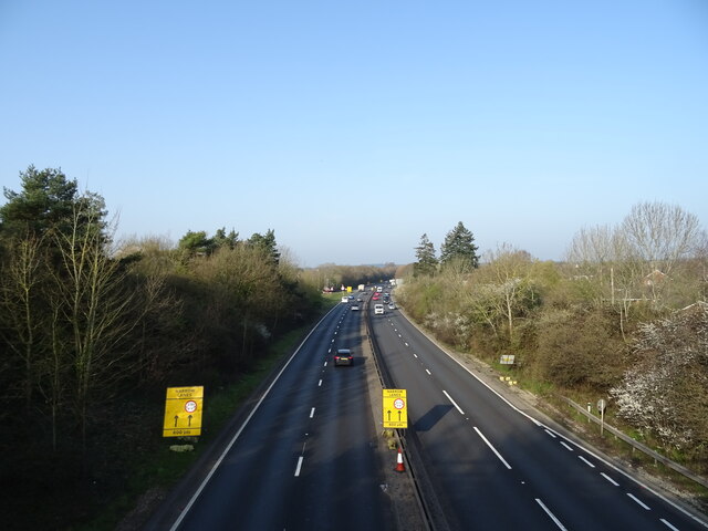
Davey's Copse Images
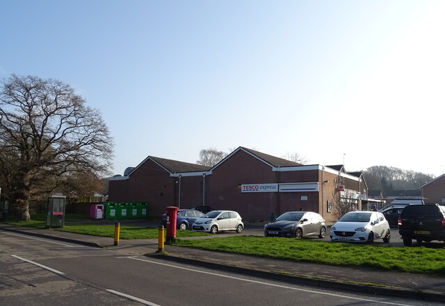
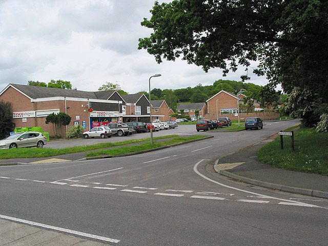
Images are sourced within 2km of 50.844378/-1.7483934 or Grid Reference SU1705. Thanks to Geograph Open Source API. All images are credited.
Davey's Copse is located at Grid Ref: SU1705 (Lat: 50.844378, Lng: -1.7483934)
Administrative County: Hampshire
District: New Forest
Police Authority: Hampshire
What 3 Words
///muddy.thirsty.thread. Near Ringwood, Hampshire
Nearby Locations
Related Wikis

Picket Hill
Picket Hill is a hamlet next to Picket Post in the New Forest National Park of Hampshire, England. It lies on the outskirts of Ringwood.
Forest Corner
Forest Corner is a village in the New Forest National Park of Hampshire, England. It is on the A31 road travelling between Southampton and Bournemouth...

Hightown, Hampshire
Hightown is a village in the New Forest district of Hampshire, England. Its nearest town is Ringwood, which lies approximately 0.8 miles (1.3 km) north...

Crow, Hampshire
Crow is a small village situated in the New Forest National Park in Hampshire, England. Its nearest town is Ringwood, which lies approximately 1 mile...
Poulner
Poulner (/'paʊnə/) is a small village in the civil parish of Ringwood in the New Forest district, in Hampshire, England, although its northern fringe lies...

Hangersley
Hangersley is a hamlet in the New Forest National Park of Hampshire, England. It only lies exactly 1 mile (1.5 km) from Ringwood, its nearest town. �...
Shobley
Shobley is a small hamlet in the New Forest National Park of Hampshire, England. Its nearest town is Ringwood, which lies approximately 1.8 miles (2.9...

Picket Post
Picket Post is a road junction and service area in the New Forest National Park of Hampshire, England. It lies on the A31 road. == Facilities == Picket...
Nearby Amenities
Located within 500m of 50.844378,-1.7483934Have you been to Davey's Copse?
Leave your review of Davey's Copse below (or comments, questions and feedback).