Forest Corner
Settlement in Hampshire New Forest
England
Forest Corner
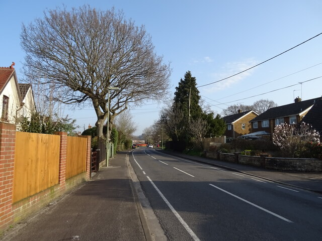
Forest Corner is a small village located in the county of Hampshire, England. Situated on the edge of the New Forest National Park, it is surrounded by picturesque woodlands and rolling countryside. The village is nestled between the towns of Ringwood and Fordingbridge, offering residents a peaceful and rural setting with convenient access to local amenities.
The history of Forest Corner dates back several centuries, with evidence of human settlement in the area since the medieval period. Today, the village retains its charming character, with a mix of traditional thatched cottages, modern houses, and small businesses. The community is close-knit, with a friendly and welcoming atmosphere.
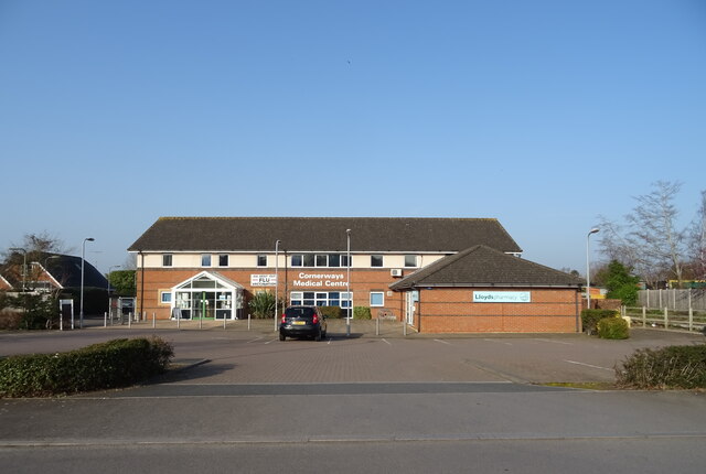
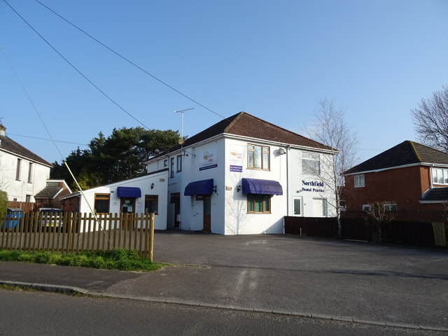
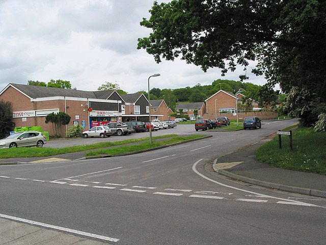
Despite its small size, Forest Corner offers a range of amenities for its residents. The village has a local pub, providing a hub for social gatherings and a place to enjoy traditional British cuisine. Additionally, there is a village hall which hosts various events and activities throughout the year, fostering a sense of community spirit.
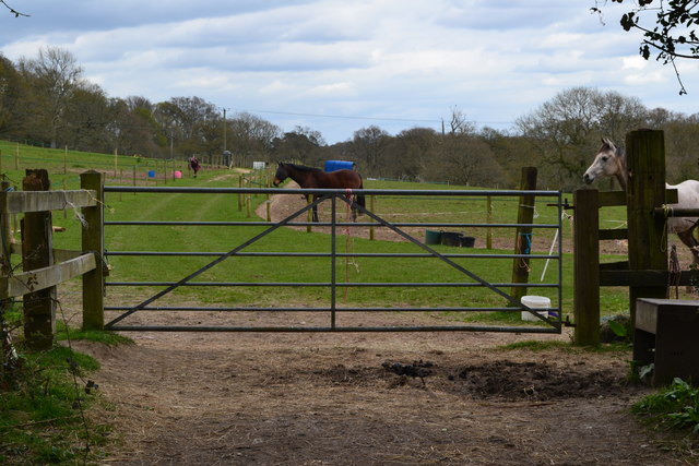
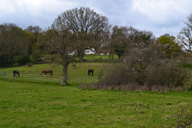
Nature lovers are particularly drawn to Forest Corner due to its proximity to the New Forest. The national park offers an abundance of walking, cycling, and horse riding trails, as well as opportunities for wildlife spotting. The idyllic surroundings and tranquil atmosphere make Forest Corner an ideal place for those seeking a rural retreat.
In conclusion, Forest Corner, Hampshire is a charming village with a rich history and strong sense of community. Its picturesque location and proximity to the New Forest National Park make it a desirable place to live for nature enthusiasts and those looking for a peaceful countryside setting.
If you have any feedback on the listing, please let us know in the comments section below.
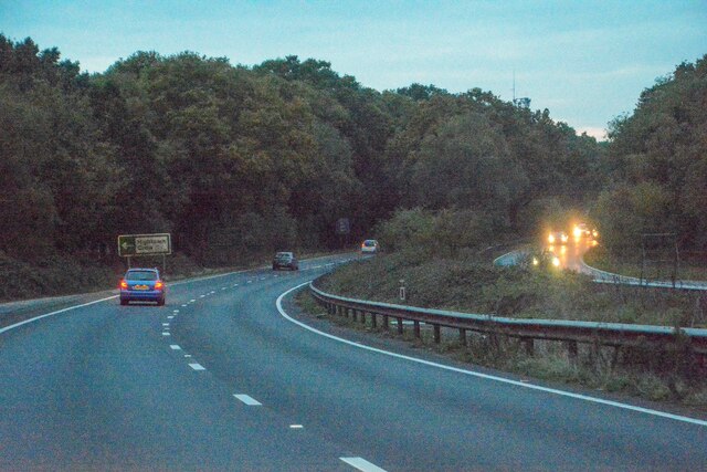
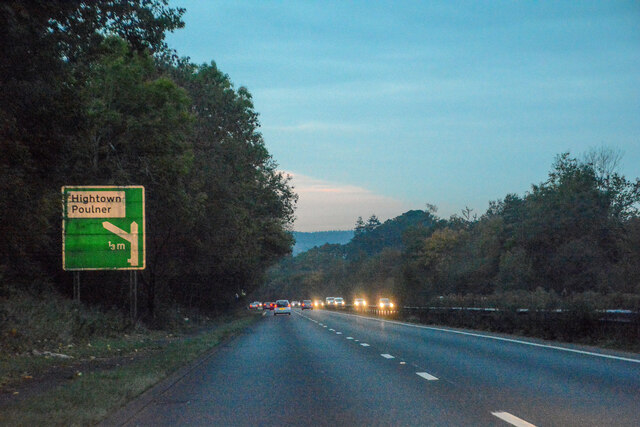
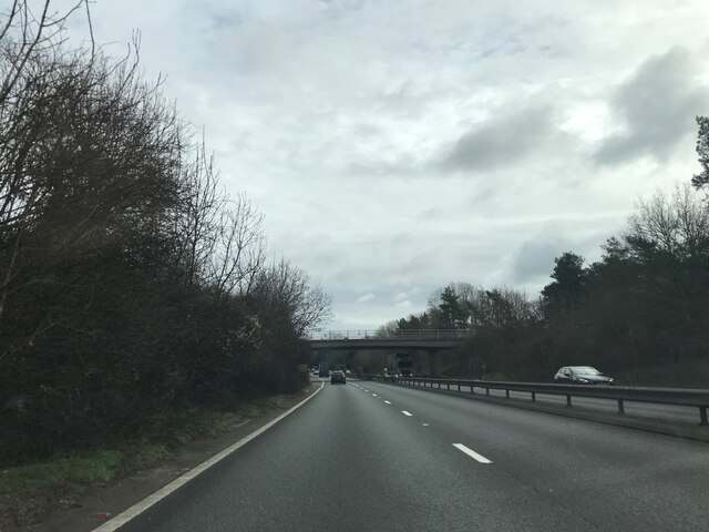
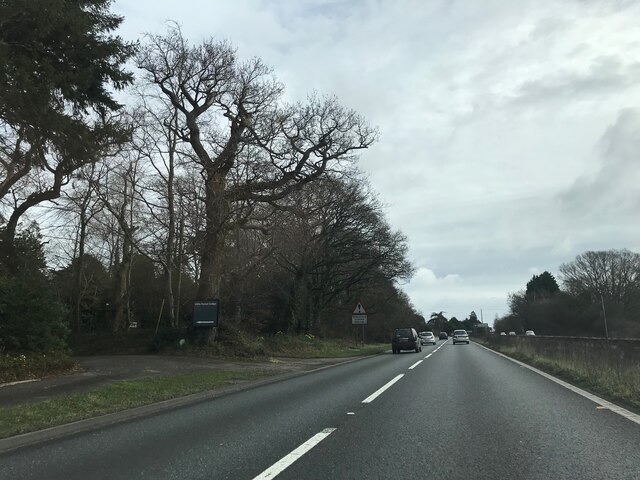
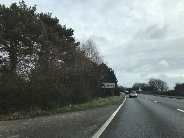
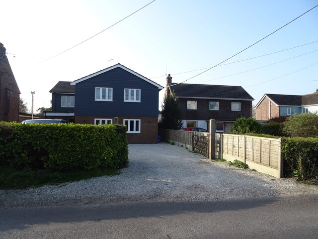
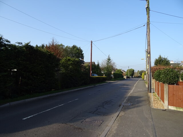
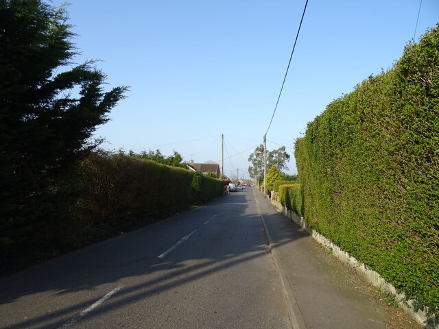
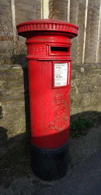
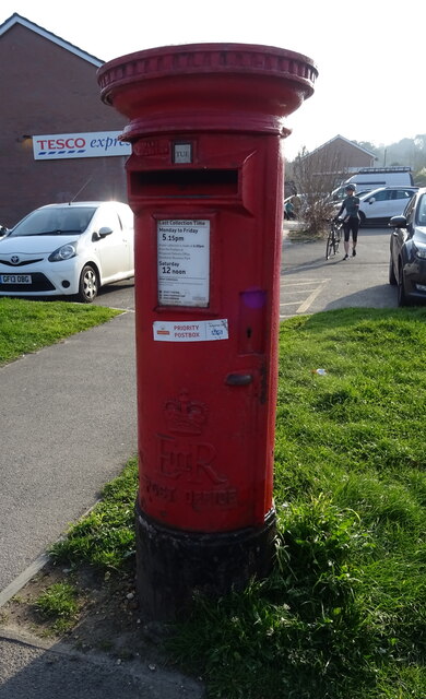
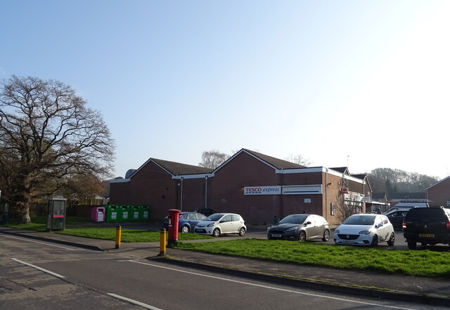
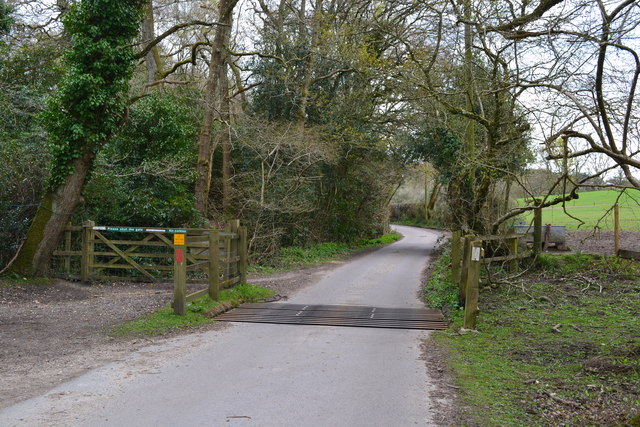
Forest Corner Images
Images are sourced within 2km of 50.852559/-1.7513753 or Grid Reference SU1705. Thanks to Geograph Open Source API. All images are credited.
Forest Corner is located at Grid Ref: SU1705 (Lat: 50.852559, Lng: -1.7513753)
Administrative County: Hampshire
District: New Forest
Police Authority: Hampshire
What 3 Words
///sprouted.appealed.betrayed. Near Ringwood, Hampshire
Nearby Locations
Related Wikis

Forest Corner
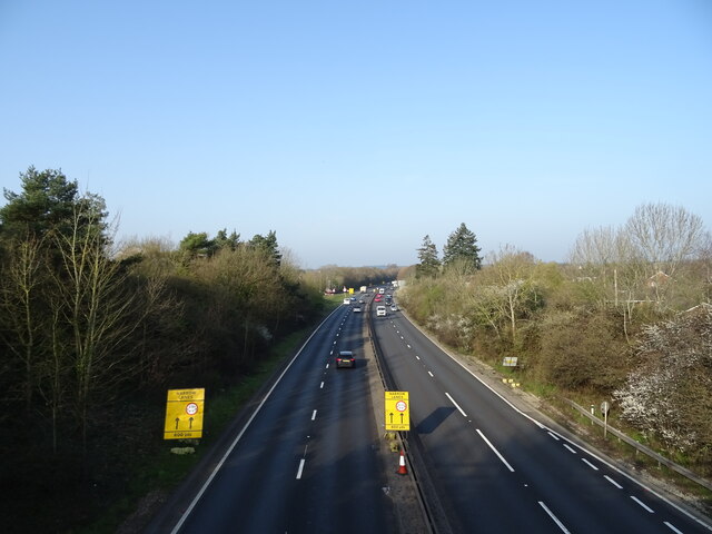
Forest Corner is a village in the New Forest National Park of Hampshire, England. It is on the A31 road travelling between Southampton and Bournemouth...

Hangersley
Hangersley is a hamlet in the New Forest National Park of Hampshire, England. It only lies exactly 1 mile (1.5 km) from Ringwood, its nearest town. �...
Picket Hill
Picket Hill is a hamlet next to Picket Post in the New Forest National Park of Hampshire, England. It lies on the outskirts of Ringwood.
Shobley
Shobley is a small hamlet in the New Forest National Park of Hampshire, England. Its nearest town is Ringwood, which lies approximately 1.8 miles (2.9...
Poulner
Poulner (/'paʊnə/) is a small village in the civil parish of Ringwood in the New Forest district, in Hampshire, England, although its northern fringe lies...
Linford, Hampshire
Linford is a hamlet in the New Forest district of Hampshire, England, close to the market town of Ringwood. It is about 1.5 miles east of Ringwood. It...

Hightown, Hampshire
Hightown is a village in the New Forest district of Hampshire, England. Its nearest town is Ringwood, which lies approximately 0.8 miles (1.3 km) north...

Picket Post
Picket Post is a road junction and service area in the New Forest National Park of Hampshire, England. It lies on the A31 road. == Facilities == Picket...
Nearby Amenities
Located within 500m of 50.852559,-1.7513753Have you been to Forest Corner?
Leave your review of Forest Corner below (or comments, questions and feedback).