Grim's Ditch
Heritage Site in Berkshire
England
Grim's Ditch

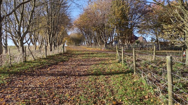
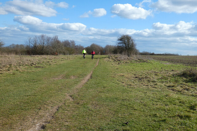
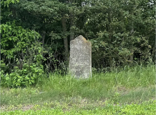
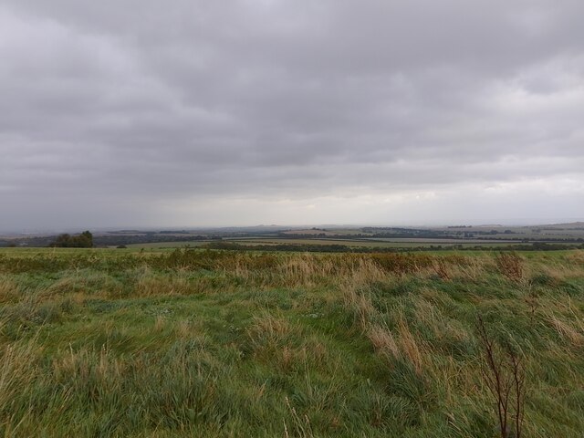
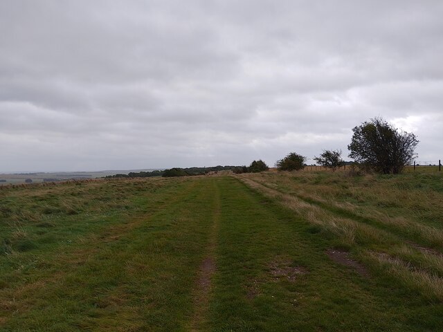
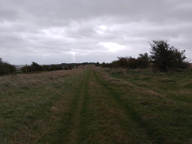
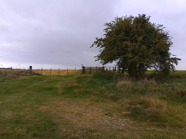
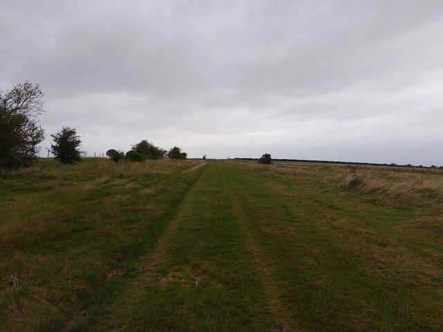
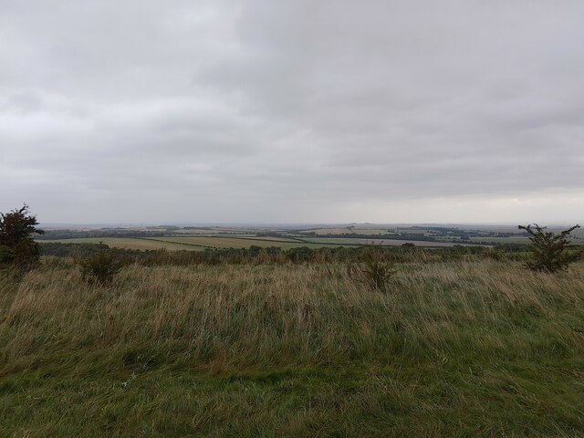
Grim's Ditch, located in Berkshire, England, is a historic monument and heritage site that dates back to the Iron Age. This ancient earthwork stretches for approximately seven miles, following the contours of the land and traversing various landscapes, including woodlands, fields, and hills. The ditch is believed to have been constructed between 300 BC and 100 BC.
The purpose and origin of Grim's Ditch remain a subject of debate among historians and archaeologists. Some theories suggest it was built as a defensive boundary, while others propose it may have served as a territorial marker or a means of controlling livestock.
The earthwork itself consists of a substantial ditch and bank, with the ditch on the eastern side. The bank measures up to six meters wide and two meters high, while the ditch is around four meters wide and two meters deep. These dimensions, along with the sheer length of the monument, indicate a considerable effort and organization involved in its construction.
Grim's Ditch gained its name from the Grim family, who were prominent landowners in the area during the medieval period. The site has been a protected Scheduled Monument since 1996, preserving its historical significance and preventing any unauthorized alterations or excavations.
Today, Grim's Ditch attracts visitors who are intrigued by its mysterious origins and its scenic surroundings. The site provides an opportunity to explore and appreciate the ancient engineering skills of the Iron Age inhabitants while immersing oneself in the rich history of Berkshire.
If you have any feedback on the listing, please let us know in the comments section below.
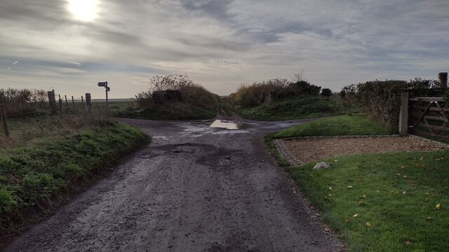
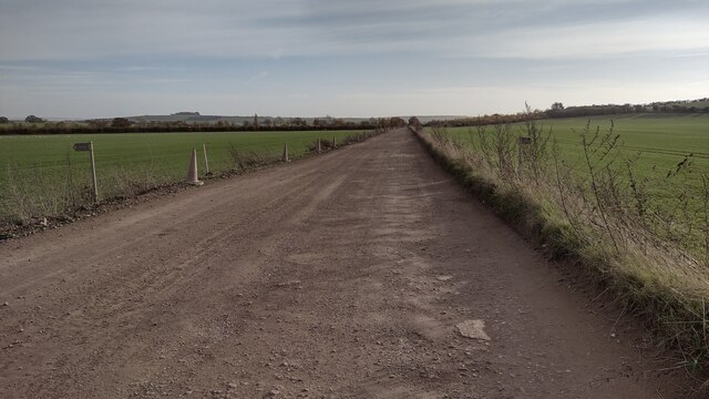
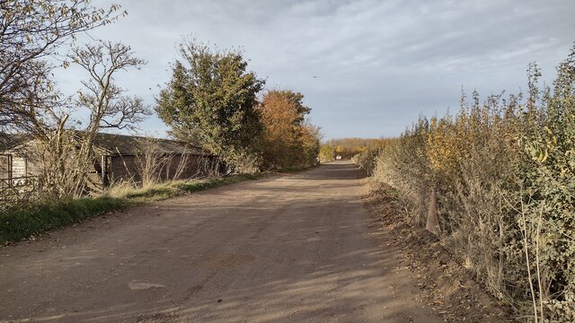
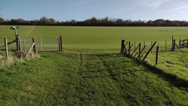
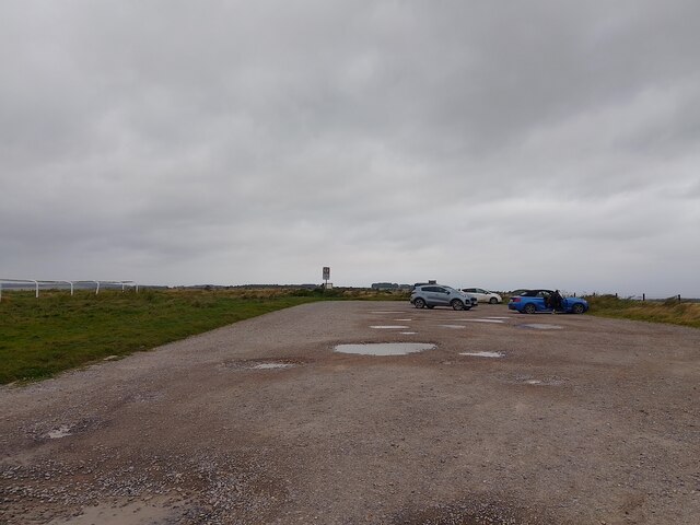
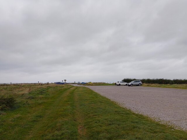
Grim's Ditch Images
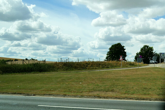
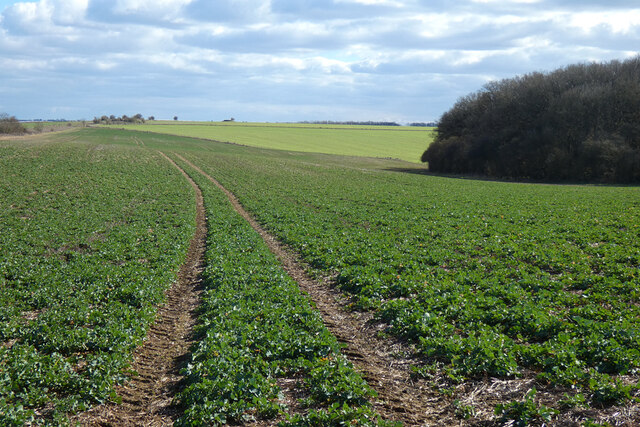
Images are sourced within 2km of 51.547/-1.285 or Grid Reference SU4983. Thanks to Geograph Open Source API. All images are credited.
Grim's Ditch is located at Grid Ref: SU4983 (Lat: 51.547, Lng: -1.285)
Unitary Authority: West Berkshire
Police Authority: Thames Valley
What 3 Words
///transmitted.subtitle.slurred. Near West Ilsley, Berkshire
Nearby Locations
Related Wikis
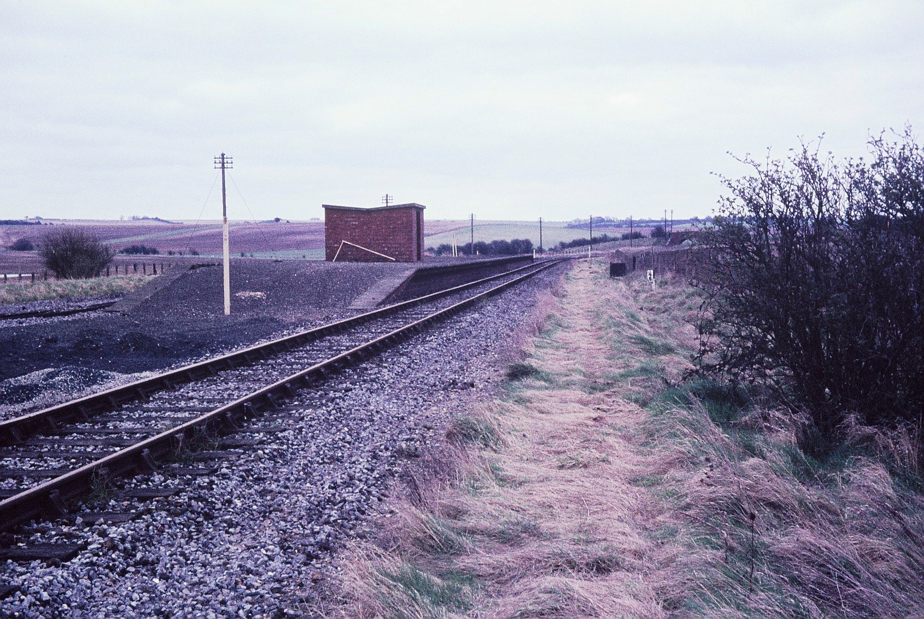
Churn railway station
Churn railway station was a station on the Didcot, Newbury and Southampton Railway in England. It served Churn Down, a remote part of the Berkshire Downs...

Chilton, Oxfordshire
Chilton is a village and civil parish in the Vale of White Horse about 3+1⁄2 miles (6 km) southwest of Didcot. The parish was part of Berkshire until the...
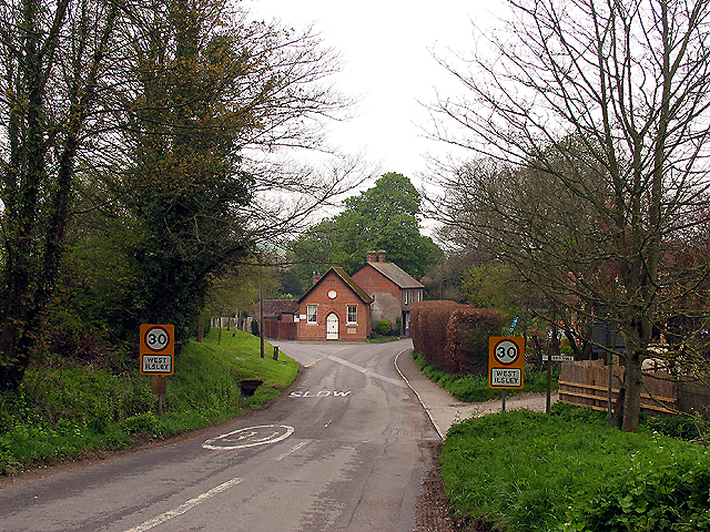
West Ilsley
West Ilsley is a village and civil parish in Berkshire, England. The population of the village at the 2011 Census was 332. == Location and amenities... ==

Diamond Light Source
Diamond Light Source (or Diamond) is the UK's national synchrotron light source science facility located at the Harwell Science and Innovation Campus in...

Central Laser Facility
Central Laser Facility (CLF) is a research facility in the UK. It is part of the Rutherford Appleton Laboratory. The facility is dedicated to studying...

Rutherford Appleton Laboratory
The Rutherford Appleton Laboratory (RAL) is one of the national scientific research laboratories in the UK operated by the Science and Technology Facilities...
Nimrod (synchrotron)
Nimrod (National Institute Machine Radiating on Downs, "the Mighty Hunter" Nimrod; name attributed to W. Galbraith) was a 7 GeV proton synchrotron operating...
European Centre for Space Applications and Telecommunications
The European Centre for Space Applications and Telecommunications or ECSAT is a research centre belonging to the European Space Agency (ESA) and located...
Nearby Amenities
Located within 500m of 51.547,-1.285Have you been to Grim's Ditch?
Leave your review of Grim's Ditch below (or comments, questions and feedback).