Grim's Ditch
Heritage Site in Berkshire South Oxfordshire
England
Grim's Ditch
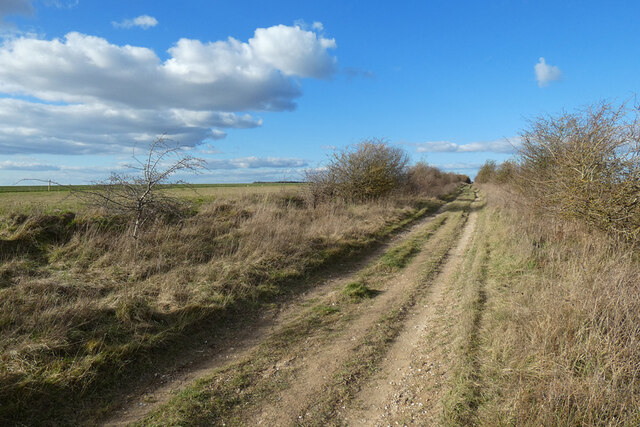
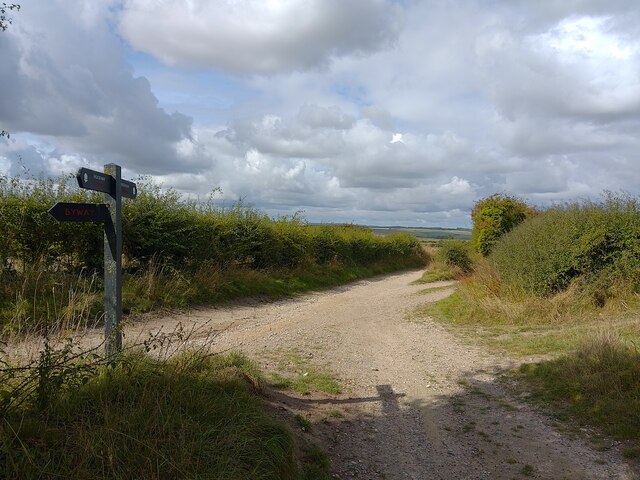
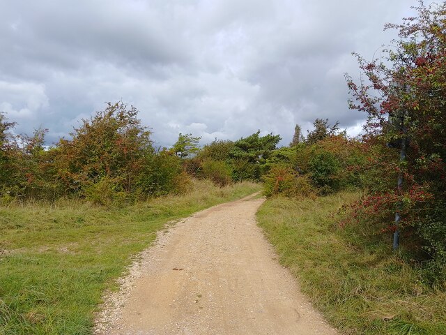
Grim's Ditch, located in Berkshire, England, is an ancient earthwork that spans approximately 8 miles across the countryside. This heritage site, also known as the Devil's Highway, is a historic monument believed to have been constructed in the Iron Age, around 300 BC. It is named after Grim, a legendary figure associated with the supernatural.
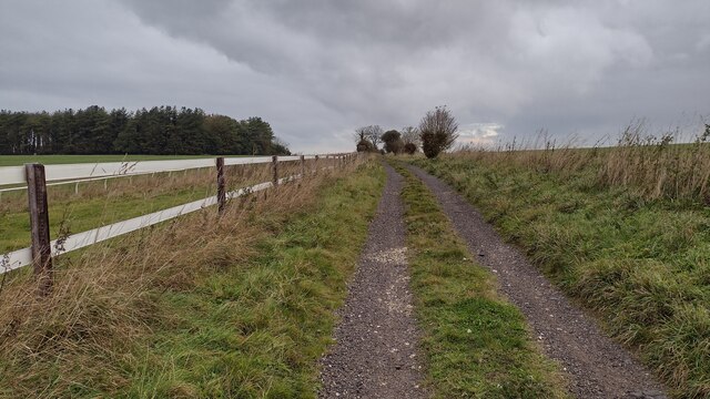
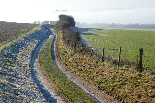
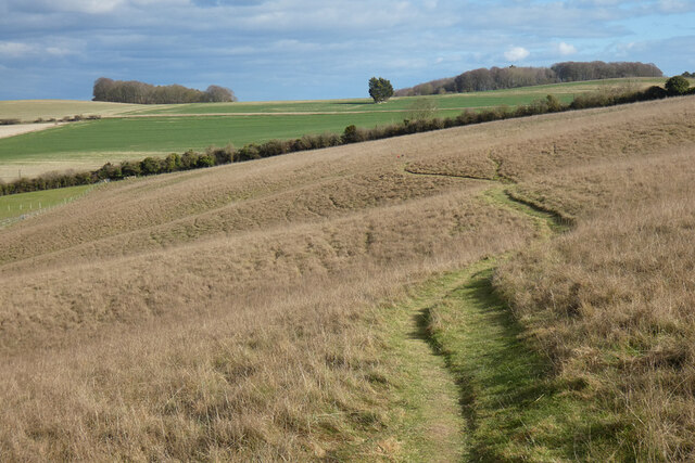
The earthwork consists of a deep ditch and a parallel bank, which were likely built for defensive purposes. The ditch is about 20 feet wide and 10 feet deep, while the bank stands at approximately 10 feet high. The dimensions of Grim's Ditch vary along its length, suggesting that it was constructed in different phases or by different communities.
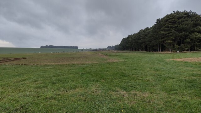
This ancient monument passes through various landscapes, including woodlands, fields, and hills. It has become an important landmark, providing a glimpse into the past and attracting history enthusiasts, hikers, and nature lovers alike. The site offers stunning views of the surrounding countryside and allows visitors to imagine the lives of the people who constructed it.
Grim's Ditch is part of the wider network of ancient earthworks found in southern England, and its purpose is still a subject of debate among archaeologists. Some theories suggest it acted as a territorial boundary, a demarcation of tribal lands, or even a trade route. The monument's remote location and the effort required to build it highlight the significance it held for the people of the Iron Age.
Today, Grim's Ditch stands as a testament to the region's rich history and continues to captivate those who visit, serving as a reminder of the ancient civilizations that once inhabited this area of Berkshire.
If you have any feedback on the listing, please let us know in the comments section below.
Grim's Ditch Images
Images are sourced within 2km of 51.547/-1.228 or Grid Reference SU5383. Thanks to Geograph Open Source API. All images are credited.


Grim's Ditch is located at Grid Ref: SU5383 (Lat: 51.547, Lng: -1.228)
Administrative County: Oxfordshire
District: South Oxfordshire
Police Authority: Thames Valley
What 3 Words
///obvious.highlighted.spoke. Near Blewbury, Oxfordshire
Nearby Locations
Related Wikis

Aston Upthorpe Downs
Aston Upthorpe Downs is a 38.5-hectare (95-acre) biological Site of Special Scientific Interest south of Aston Upthorpe in Oxfordshire. It is a Nature...
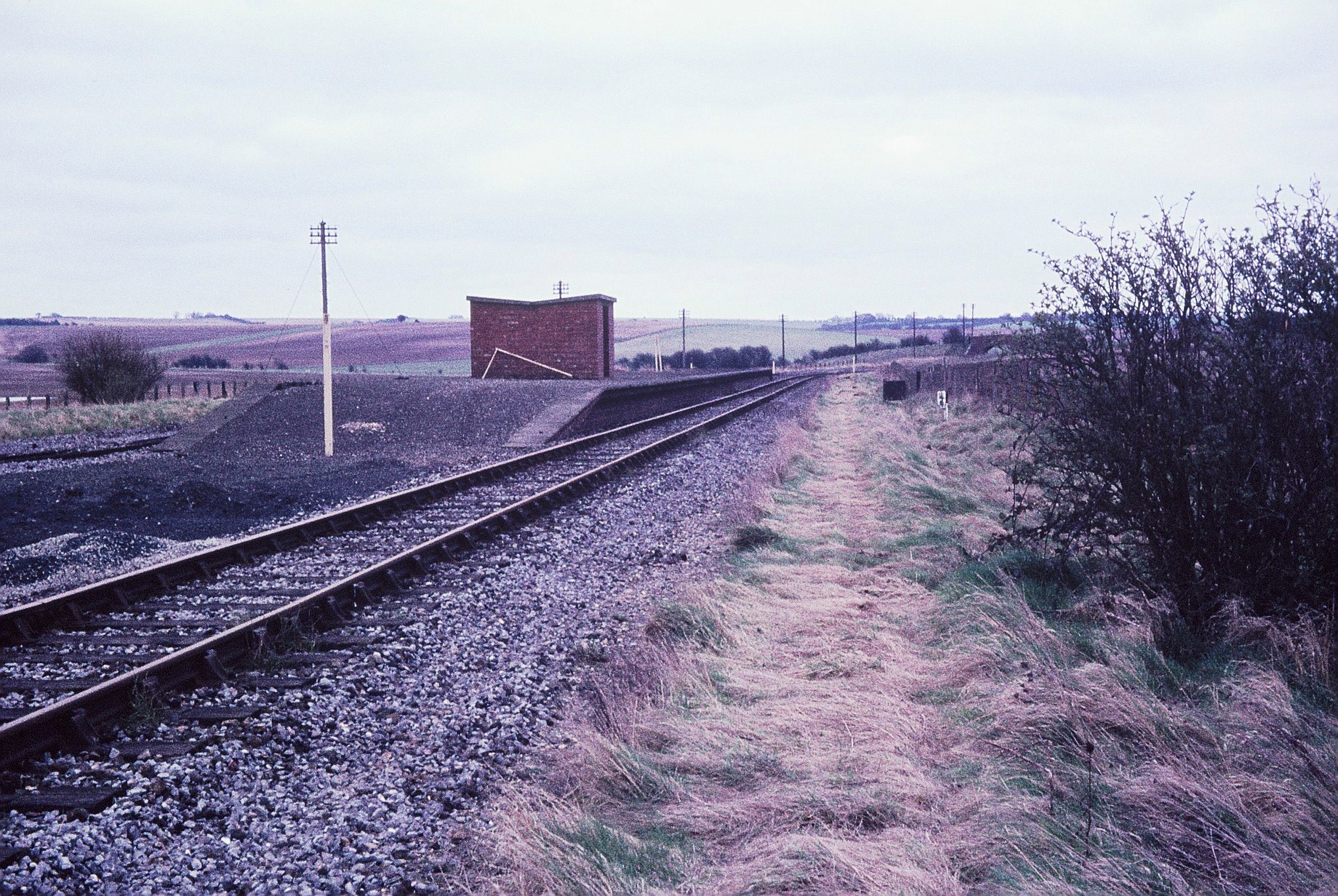
Churn railway station
Churn railway station was a station on the Didcot, Newbury and Southampton Railway in England. It served Churn Down, a remote part of the Berkshire Downs...

Battle of Ashdown
The Battle of Ashdown was a West Saxon victory over a Danish Viking army on about 8 January 871. The location of Ashdown is not known, but may be Kingstanding...

Blewbury
Blewbury is a village and civil parish at the foot of the Berkshire Downs section of the North Wessex Downs about 4 miles (6.4 km) south of Didcot, 14...

Blewburton Hill
Blewburton Hill is the site of an Iron Age hillfort located in Oxfordshire, in the southeast of England. It was a univallate hillfort (with a single rampart...

Streatley Warren
Streatley Warren is a 31.3-hectare (77-acre) biological Site of Special Scientific Interest west of Streatley in Berkshire. It is in the North Wessex Downs...

Aston Tirrold
Aston Tirrold is a village and civil parish at the foot of the Berkshire Downs about 3 miles (5 km) southeast of Didcot. It was part of Berkshire until...
Aston Upthorpe
Aston Upthorpe is a village and civil parish about 3 miles (5 km) southeast of Didcot in South Oxfordshire. It was part of Berkshire until the 1974 boundary...
Have you been to Grim's Ditch?
Leave your review of Grim's Ditch below (or comments, questions and feedback).