The Warren
Wood, Forest in Berkshire
England
The Warren
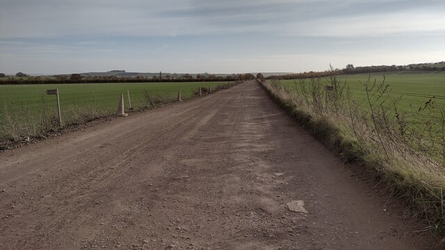
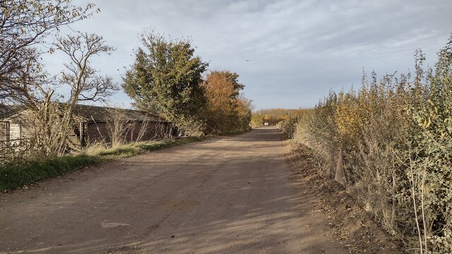
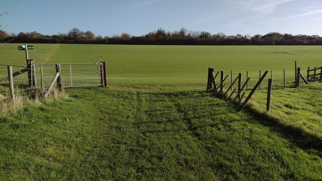
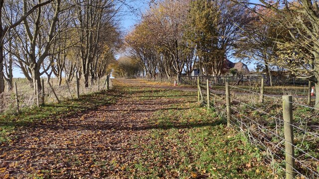
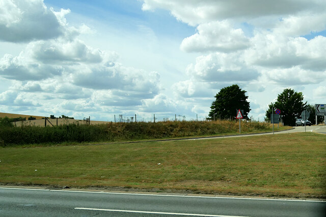
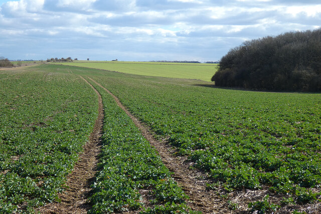
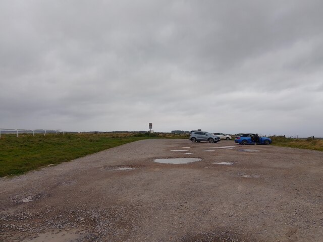
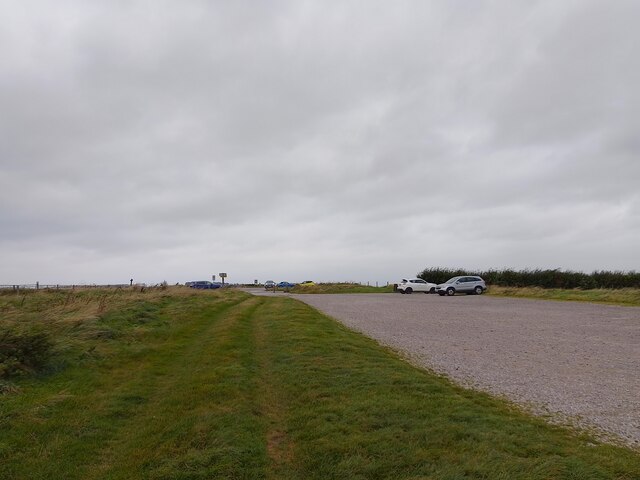
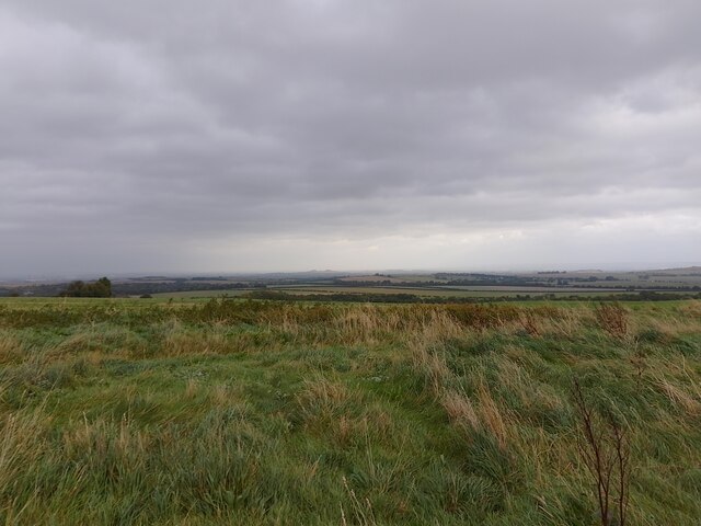
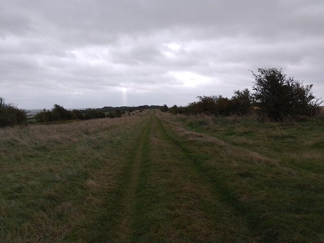
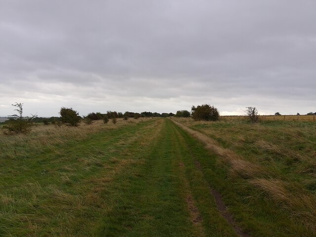
The Warren, Berkshire is a captivating woodland located in the county of Berkshire, England. Situated in the southeastern part of the county, it covers an area of approximately 200 acres, making it a significant natural attraction in the region. The woodland is known for its dense forest cover, boasting a wide variety of trees, including oak, beech, and birch.
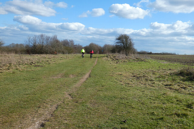
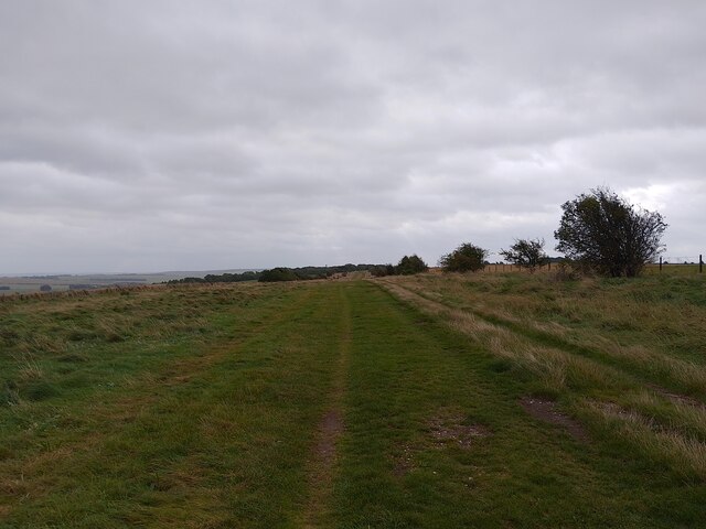
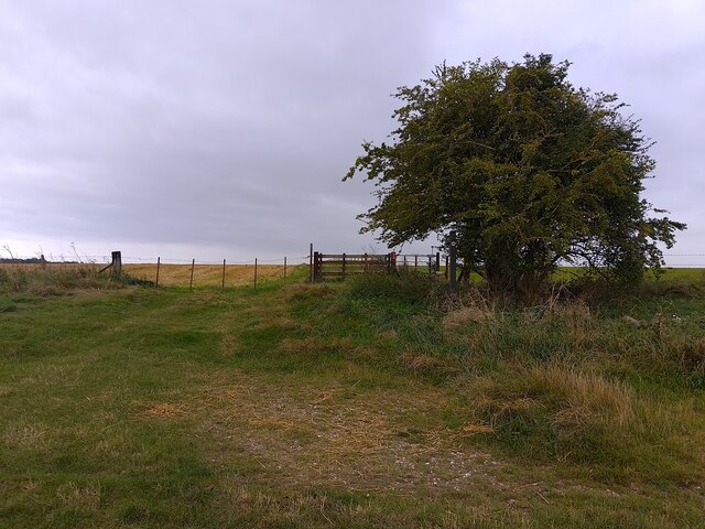
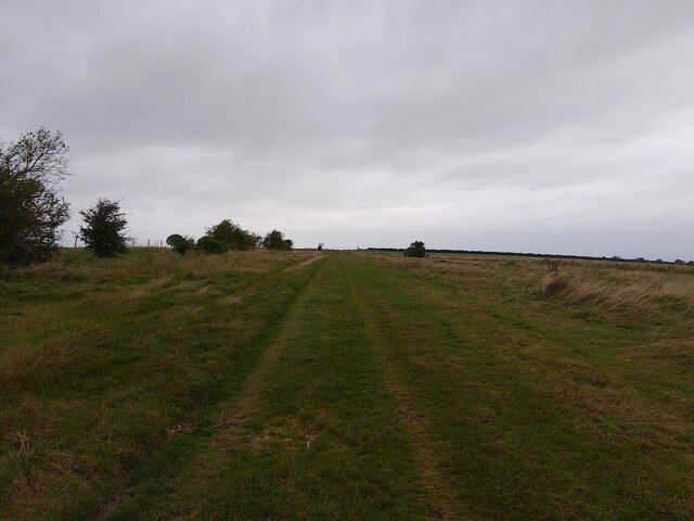
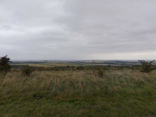
Visitors to The Warren are greeted by a tranquil and picturesque landscape, with winding pathways that meander through the woods. The woodland is a haven for nature enthusiasts, offering a diverse range of flora and fauna. It is home to several species of birds, such as woodpeckers and owls, making it a delightful spot for birdwatching.
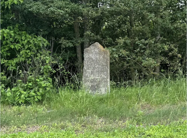
The Warren is not only a place of natural beauty but also holds historical significance. It was once part of the Windsor Forest, a royal hunting ground dating back to the medieval era. The ancient woodland has witnessed centuries of history and has retained its charm over the years.
The woodland offers a range of recreational activities for visitors to enjoy. Walking and hiking trails provide opportunities for exploration and exercise, while designated picnic areas allow for relaxation amidst the serene surroundings. Additionally, the wood is a popular spot for nature photography and sketching.
In conclusion, The Warren, Berkshire is a captivating woodland that offers a delightful escape into nature. With its lush forest cover, diverse wildlife, and historical significance, it is a must-visit destination for nature enthusiasts and history buffs alike.
If you have any feedback on the listing, please let us know in the comments section below.
The Warren Images
Images are sourced within 2km of 51.544473/-1.289479 or Grid Reference SU4983. Thanks to Geograph Open Source API. All images are credited.

The Warren is located at Grid Ref: SU4983 (Lat: 51.544473, Lng: -1.289479)
Unitary Authority: West Berkshire
Police Authority: Thames Valley
What 3 Words
///reshaping.cakewalk.escalated. Near West Ilsley, Berkshire
Nearby Locations
Related Wikis
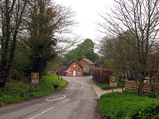
West Ilsley
West Ilsley is a village and civil parish in Berkshire, England. The population of the village at the 2011 Census was 332. == Location and amenities... ==
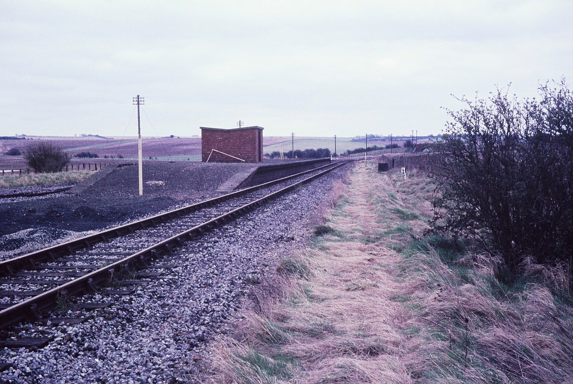
Churn railway station
Churn railway station was a station on the Didcot, Newbury and Southampton Railway in England. It served Churn Down, a remote part of the Berkshire Downs...

Chilton, Oxfordshire
Chilton is a village and civil parish in the Vale of White Horse about 3+1⁄2 miles (6 km) southwest of Didcot. The parish was part of Berkshire until the...

Central Laser Facility
Central Laser Facility (CLF) is a research facility in the UK. It is part of the Rutherford Appleton Laboratory. The facility is dedicated to studying...

Diamond Light Source
Diamond Light Source (or Diamond) is the UK's national synchrotron light source science facility located at the Harwell Science and Innovation Campus in...

Rutherford Appleton Laboratory
The Rutherford Appleton Laboratory (RAL) is one of the national scientific research laboratories in the UK operated by the Science and Technology Facilities...
Nimrod (synchrotron)
Nimrod (National Institute Machine Radiating on Downs, "the Mighty Hunter" Nimrod; name attributed to W. Galbraith) was a 7 GeV proton synchrotron operating...
DIDO (nuclear reactor)
DIDO was a materials testing nuclear reactor at the Atomic Energy Research Establishment at Harwell, Oxfordshire in the United Kingdom. It used enriched...
Nearby Amenities
Located within 500m of 51.544473,-1.289479Have you been to The Warren?
Leave your review of The Warren below (or comments, questions and feedback).