Gamage Hall

Heritage Site in Gloucestershire Forest of Dean

England

Gamage Hall

Bluebells and oaks Woodland edge by the lane to Ketford.
Bluebells and oaks Credit: Jonathan Billinger

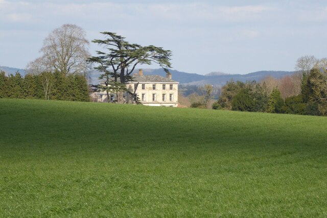
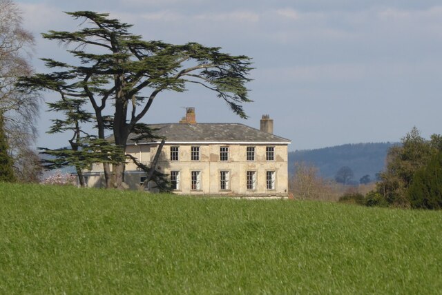
Gamage Hall, located in Gloucestershire, is a historic heritage site that holds significant cultural and architectural value. This Grade II listed building dates back to the 17th century and showcases a remarkable blend of Elizabethan and Jacobean architectural styles.

Situated amidst picturesque countryside, Gamage Hall stands as a testament to the region's rich history. The exterior of the building features a striking combination of red brickwork and timber framing, adorned with intricate carvings and decorative detailing. The elegant symmetry of the façade creates an imposing yet welcoming presence.

Inside, visitors are treated to a glimpse of the past through its well-preserved interiors. The main hall boasts a grand oak staircase, complemented by ornate plasterwork and paneling. The drawing room presents a breathtaking display of opulence, with its high ceilings, large windows, and exquisite fireplaces.

The gardens surrounding Gamage Hall further enhance its charm. Lush green lawns, vibrant flowerbeds, and meticulously manicured hedges create a serene and tranquil atmosphere. The estate also features a walled garden, where visitors can explore a variety of plant species and enjoy the fragrance of blooming flowers.

Over the years, Gamage Hall has undergone careful restoration and preservation efforts to maintain its historical integrity. Today, it serves as a popular destination for history enthusiasts, architectural admirers, and nature lovers alike. The site is open to the public, offering guided tours that provide insightful information about the hall's illustrious past and the families who once called it home.

If you have any feedback on the listing, please let us know in the comments section below.

Gamage Hall Images

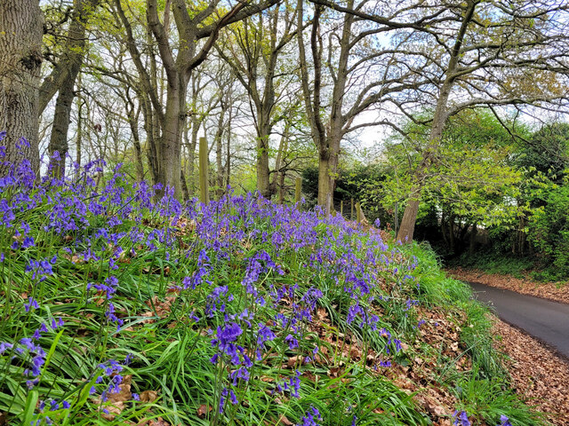
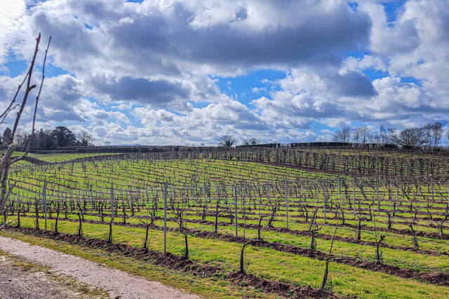
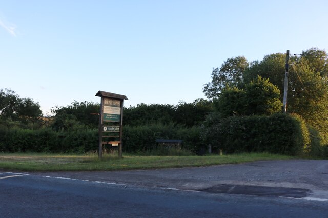
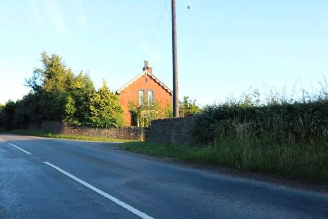
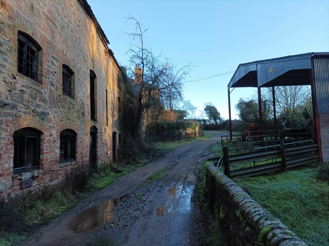
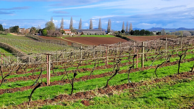
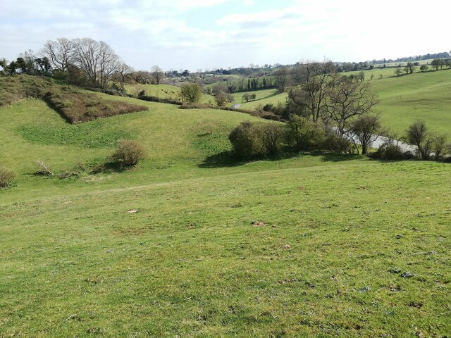
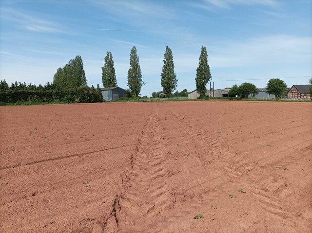
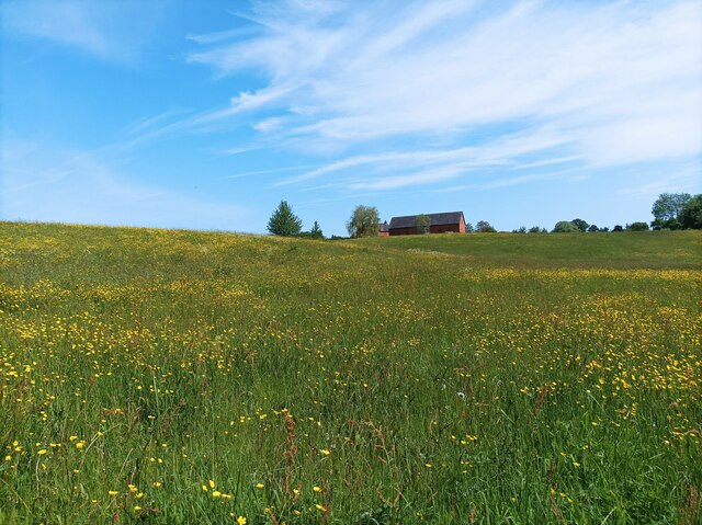
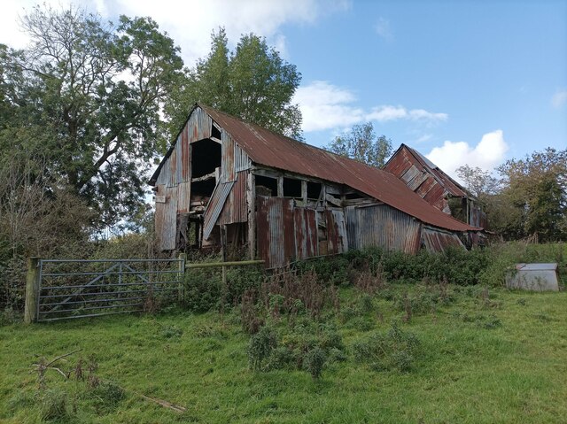
Images are sourced within 2km of 51.972/-2.415 or Grid Reference SO7130. Thanks to Geograph Open Source API. All images are credited.

Bluebells and oaks Woodland edge by the lane to Ketford.
Bluebells and oaks
Woodland edge by the lane to Ketford.
Three Choirs Vineyard The March clouds crowd the sky above the source of Three Choirs fortune.
Three Choirs Vineyard
The March clouds crowd the sky above the source of Three Choirs fortune.
Boyce Court Boyce Court viewed from the Daffodil Way.  The house was built in 1835 for Drummond family.  A fine looking Grade II listed early 19th century house beside a cedar tree.
Boyce Court
Boyce Court viewed from the Daffodil Way. The house was built in 1835 for Drummond family. A fine looking Grade II listed early 19th century house beside a cedar tree.
The entrance to Bentleys Castle Farm on Dymock Road
Dymock Road south of Dymock
Durbridge Mill buildings Buildings alongside the track through Durbridge Mill Farm.
Durbridge Mill buildings
Buildings alongside the track through Durbridge Mill Farm.
Three Choirs vineyard The main buildings in the centre and a distant view of the Malvern Hills.
Three Choirs vineyard
The main buildings in the centre and a distant view of the Malvern Hills.
Fields near Welsh House Lane Grassy fields and rolling hills near Welsh House Lane.
Fields near Welsh House Lane
Grassy fields and rolling hills near Welsh House Lane.
Footpath towards vineyard A footpath through a muddy field leading towards Three Choirs Vineyard.
Footpath towards vineyard
A footpath through a muddy field leading towards Three Choirs Vineyard.
Field of buttercups A large field of buttercups and other wildflowers.
Field of buttercups
A large field of buttercups and other wildflowers.
Abandoned barn A seemingly abandoned, rusty barn in a field near the M50.
Abandoned barn
A seemingly abandoned, rusty barn in a field near the M50.
M50 underpass footpath A small tunnel leading under the M50, defaced with graffiti.
M50 underpass footpath
A small tunnel leading under the M50, defaced with graffiti.
B4215 bridge over M50 One of the more eye-catching bridge designs of bridges over the M50.  When the motorway was opened, some of the publicity celebrated that each overbridge was different, though this was partly aesthetic design, partly engineering needs.
B4215 bridge over M50
One of the more eye-catching bridge designs of bridges over the M50. When the motorway was opened, some of the publicity celebrated that each overbridge was different, though this was partly aesthetic design, partly engineering needs.
Three Choirs Vineyard Winter pruned vines at Botloe's Green
Three Choirs Vineyard
Winter pruned vines at Botloe's Green
Thatched cottage, Dymock
Three Choirs vineyard
Layby on the B4215 The layby on the left used to be the original route of the B4215 until it was realigned when a bridge was built of the M50 motorway which was one of Britain's earliest motorways which opened in 1960.
Layby on the B4215
The layby on the left used to be the original route of the B4215 until it was realigned when a bridge was built of the M50 motorway which was one of Britain's earliest motorways which opened in 1960.
Show me another place!

Gamage Hall is located at Grid Ref: SO7130 (Lat: 51.972, Lng: -2.415)

Administrative County: Gloucestershire

District: Forest of Dean

Police Authority: Gloucestershire

What 3 Words

///aims.cocoons.surveyed. Near Donnington, Herefordshire

Related Wikis

Ketford Bank

Ketford Bank (grid reference SO723308) is a 0.69-hectare (1.7-acre) nature reserve in Gloucestershire.The site is owned and managed by the Gloucestershire...

Vell Mill Daffodil Meadow

Vell Mill Daffodil Meadow (grid reference SO710314) is a 2.1-hectare (5.2-acre) nature reserve in Gloucestershire.The site is owned and managed by the...

Castle Tump, Dymock

Castle Tump was a castle in the village of Dymock in Gloucestershire, England. The castle was built in either the 11th or more probably the early 12th...

Pauntley

Pauntley is a village and civil parish in the district of Forest of Dean, Gloucestershire, England. In 2019 it had a population of 304. == School == Pauntley...

Nearby Amenities

Located within 500m of 51.972,-2.415
Power: pole
Lat/Long: 51.9700728/-2.4093524
Ridge Farm
Power: pole
Transformer: distribution
Voltage Primary: 11000
Lat/Long: 51.9702896/-2.4097252
Source Prow Ref: gloucestershire_county_council_prow_gis_data
Lat/Long: 51.9749511/-2.4103135
Crowfield
Power: pole
Transformer: distribution
Voltage Primary: 11000
Lat/Long: 51.9756525/-2.4183929
Power: pole
Lat/Long: 51.9753763/-2.4195251
The data included in this document is from www.openstreetmap.org. The data is made available under ODbL.

Have you been to Gamage Hall?

Leave your review of Gamage Hall below (or comments, questions and feedback).