Gallox Bridge
Heritage Site in Somerset Somerset West and Taunton
England
Gallox Bridge
Gallox Bridge, located in Somerset, England, is a historic and picturesque heritage site that holds significant architectural and historical value. This charming stone bridge spans across the River Brue in the village of Gallox, near the town of Glastonbury.
Built in the 15th century, Gallox Bridge is a well-preserved example of a medieval packhorse bridge. It features a single stone arch, constructed using local limestone, that gracefully spans the river. The bridge's design is simple yet elegant, with a narrow roadway and low parapets on either side.
The bridge's purpose was to facilitate the transport of goods and livestock across the river, connecting the village to trade routes and nearby markets. It played a crucial role in the local economy, serving as a vital link for farmers and merchants for many centuries.
Gallox Bridge is also steeped in folklore and legends. It is said to have been built by fairies, adding a touch of enchantment to its historical significance. Its idyllic location, nestled amidst lush green fields and surrounded by natural beauty, only adds to its allure.
Today, Gallox Bridge remains in active use, allowing pedestrians and vehicles to cross the river. It is a popular spot for visitors and locals alike, who come to admire its architectural beauty, take in the tranquil surroundings, and explore the nearby countryside.
As a designated heritage site, Gallox Bridge serves as a reminder of Somerset's rich history and serves as a testament to the craftsmanship of its medieval builders. It stands as a timeless symbol of the region's past and continues to be cherished by all who encounter it.
If you have any feedback on the listing, please let us know in the comments section below.
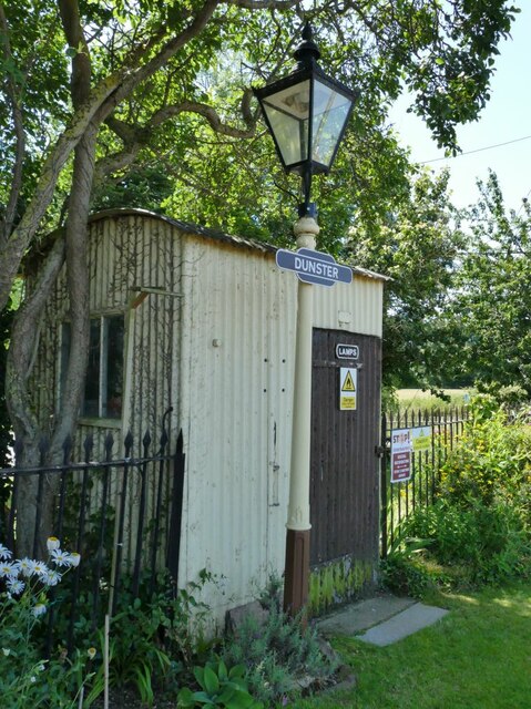
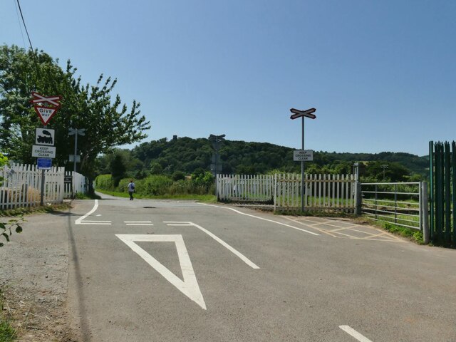
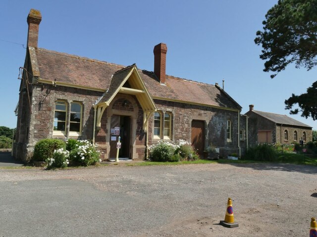
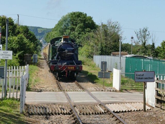
Gallox Bridge Images
Images are sourced within 2km of 51.182/-3.452 or Grid Reference SS9843. Thanks to Geograph Open Source API. All images are credited.


Gallox Bridge is located at Grid Ref: SS9843 (Lat: 51.182, Lng: -3.452)
Administrative County: Somerset
District: Somerset West and Taunton
Police Authority: Avon and Somerset
What 3 Words
///developer.taller.polite. Near Minehead, Somerset
Nearby Locations
Related Wikis
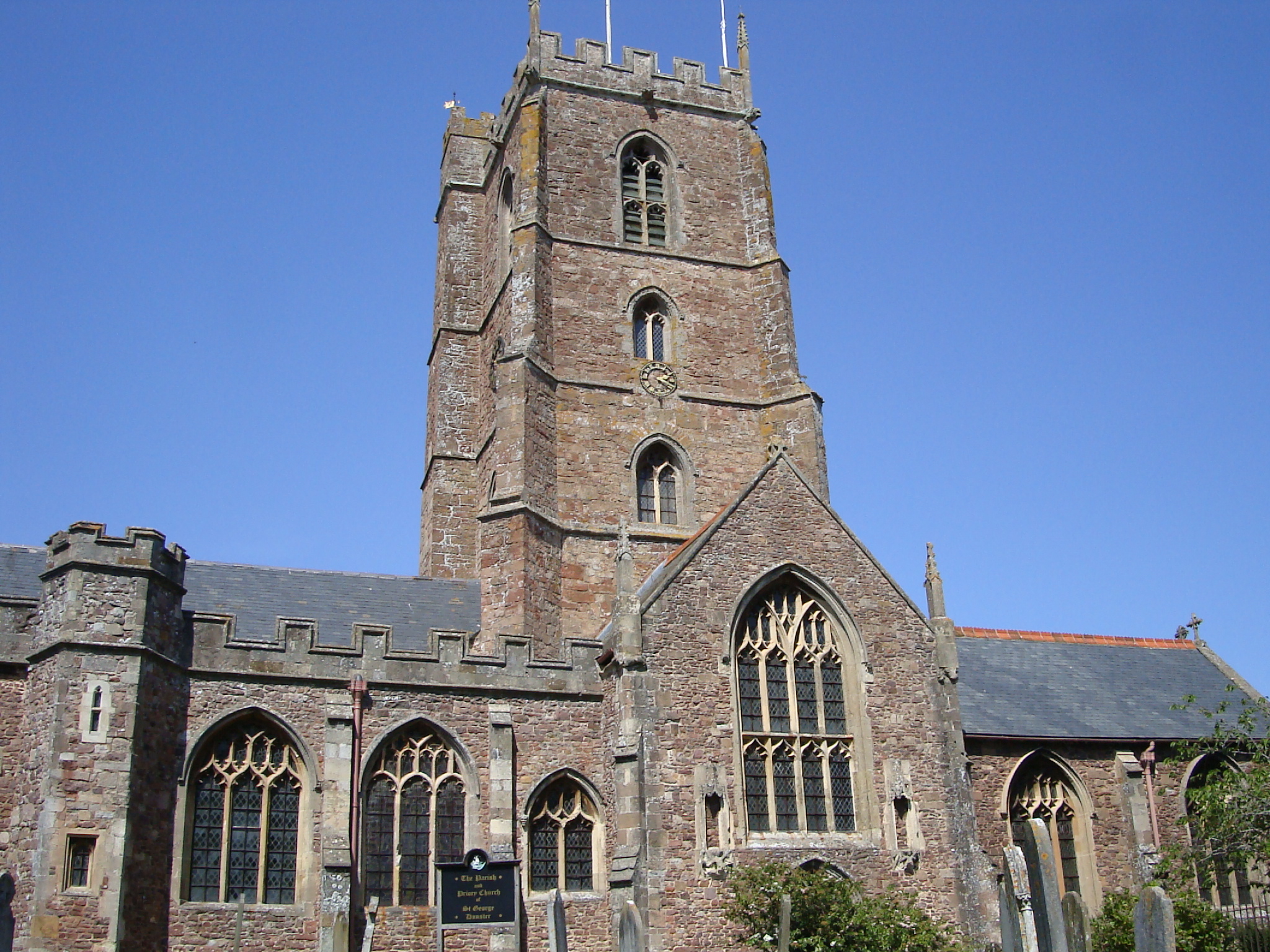
Dunster Priory
Dunster Priory was established as a Benedictine monastery around 1100 in Dunster, Somerset, England. The first church in Dunster was built by William de...

Grabbist Hillfort
Grabbist Hillfort is an Iron Age oval hillfort or defended enclosure, west of Dunster in Somerset, England. The site is 885.8 feet (270.0 m) long and 219...
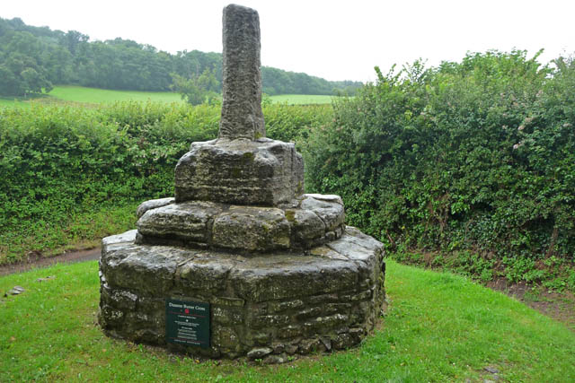
Dunster Butter Cross
The Butter Cross in Dunster within the English county of Somerset is a Grade II* listed building and scheduled monument. The cross was originally erected...

Dunster
Dunster is a village and civil parish in Somerset, England, within the north-eastern boundary of Exmoor National Park. It lies on the Bristol Channel 2...

Dunster Dovecote
The Dovecote in Dunster, Somerset, England was probably built in the late 16th century. It has been designated as a Grade II* listed building and Scheduled...
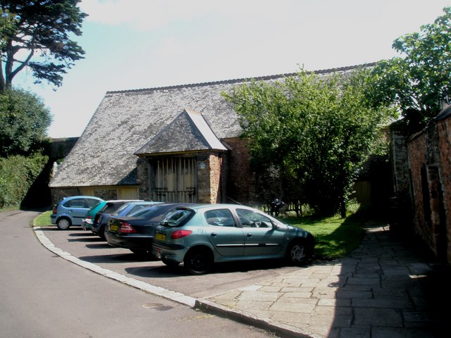
Tithe Barn, Dunster
The Tithe Barn is a 14th-century tithe barn in Dunster, Somerset, England. It has a cruciform plan. The east front has central double doors in heavy oak...

Dunster Castle
Dunster Castle is a former motte and bailey castle, now a country house, in the village of Dunster, Somerset, England. The castle lies on the top of a...

Dunster Working Watermill
Dunster Working Watermill (also known as Castle Mill) is a restored 18th century watermill, situated on the River Avill, close to Gallox Bridge, in the...
Nearby Amenities
Located within 500m of 51.182,-3.452Have you been to Gallox Bridge?
Leave your review of Gallox Bridge below (or comments, questions and feedback).