Font Stone

Heritage Site in Midlothian

Scotland

Font Stone

Cottages at Nine Mile Burn The nearest cottage has clearly been extended in a manner not entirely consistent with the rest of the row.
Cottages at Nine Mile Burn Credit: Oliver Dixon

Font Stone is a historic heritage site located in Midlothian, Scotland. It is a unique stone structure that holds great significance in the local history and is considered an important cultural landmark in the region. The Font Stone is believed to date back to the 16th century and is associated with the nearby parish church.

The Font Stone is a rectangular, freestanding stone structure standing about 3 feet high. It is made of local sandstone and features intricate carvings and inscriptions on its surface. The carvings depict religious symbols, including crosses and angels, as well as various ornamental motifs. The inscriptions are in Latin and are thought to represent religious verses or dedications.

The purpose of the Font Stone is not entirely clear, but it is widely believed to have been used as a baptismal font or a holy water stoup in the past. Its proximity to the parish church further supports this theory. The stone may have served as a significant religious object during ceremonies and rituals held in the church.

Today, the Font Stone is well-preserved and protected as a listed heritage site. It attracts visitors from both the local community and tourists interested in Scottish history and architecture. The site provides a glimpse into the religious practices and cultural traditions of the past, allowing visitors to connect with the rich heritage of Midlothian.

If you have any feedback on the listing, please let us know in the comments section below.
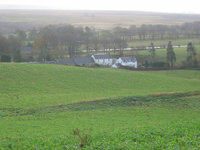
Font Stone Images

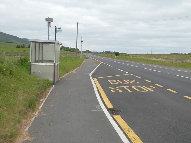
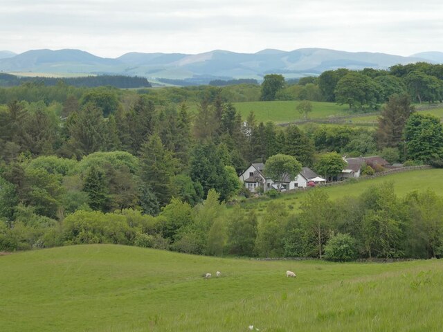
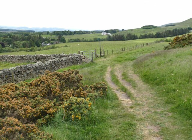
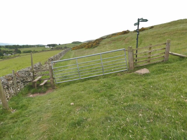
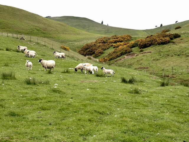
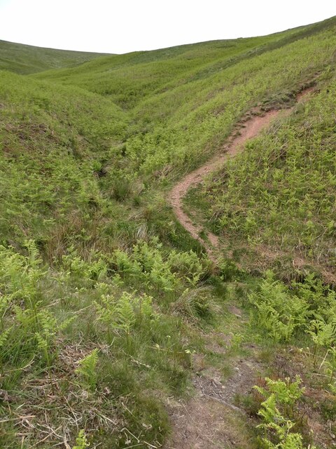
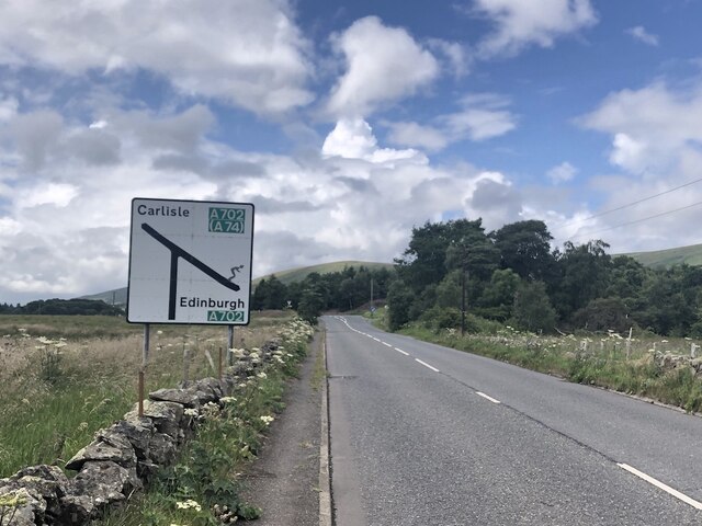
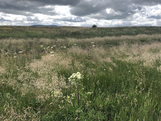
Images are sourced within 2km of 55.822/-3.317 or Grid Reference NT1759. Thanks to Geograph Open Source API. All images are credited.

Cottages at Nine Mile Burn The nearest cottage has clearly been extended in a manner not entirely consistent with the rest of the row.
Cottages at Nine Mile Burn
The nearest cottage has clearly been extended in a manner not entirely consistent with the rest of the row.
Bus stop at Nine Mile Burn On the A702.
Bus stop at Nine Mile Burn
On the A702.
Stile on Scroggy Hill The Pentland Way is a 32 km long-distance path along the length of the Pentland Hills, established in 2015. The section from Nine Mile Burn to West Kip follows a relatively new path up Monk's Rigg (seen here) which does not appear as yet on OS maps.
Stile on Scroggy Hill
The Pentland Way is a 32 km long-distance path along the length of the Pentland Hills, established in 2015. The section from Nine Mile Burn to West Kip follows a relatively new path up Monk's Rigg (seen here) which does not appear as yet on OS maps.
Stile on the Pentland Way Looking across the valley of the Monk's Burn.
Stile on the Pentland Way
Looking across the valley of the Monk's Burn.
Looking down on Nine Mile Burn Hamlet set back from the A702. Moorfoot Hills in the distance.
Looking down on Nine Mile Burn
Hamlet set back from the A702. Moorfoot Hills in the distance.
"The Firs" Houses to the west of Nine Mile Burn. Moorfoot Hills in the distance.
"The Firs"
Houses to the west of Nine Mile Burn. Moorfoot Hills in the distance.
Track above Nine Mile Burn
Gate on track above Nine Mile Burn The signpost points to alternative routes up to the summit of West Kip - Monk's Rigg (to the right) and Braid Law (towards the camera).
Gate on track above Nine Mile Burn
The signpost points to alternative routes up to the summit of West Kip - Monk's Rigg (to the right) and Braid Law (towards the camera).
Wool gathering On a fence above Walstone Farm.
Wool gathering
On a fence above Walstone Farm.
Sheep in the valley of the Walstone Burn Cap Law on the skyline.
Sheep in the valley of the Walstone Burn
Cap Law on the skyline.
Path in the valley  of the Quarrel Burn Heading up Braid Law.
Path in the valley of the Quarrel Burn
Heading up Braid Law.
Path across the Quarrel Burn Quarrel Burn Reservoir in the background.
Path across the Quarrel Burn
Quarrel Burn Reservoir in the background.
West end of the A766 The A766 is a very scenic short road out of Penicuik.  Note the skier on the sign - the Pentland Hills are very popular with skiers in Winter and there is also the all season slope at Hillend, so very appropriate.
West end of the A766
The A766 is a very scenic short road out of Penicuik. Note the skier on the sign - the Pentland Hills are very popular with skiers in Winter and there is also the all season slope at Hillend, so very appropriate.
Walstone Moss Bog and moorland beneath the Pentland Hills.
Walstone Moss
Bog and moorland beneath the Pentland Hills.
Walstone Moss
Walstone Moss
Spittal Hill View from the North Esk Reservoir.
Spittal Hill
View from the North Esk Reservoir.
One man and his mutt View looking down the side Cap Law to a reservoir.  The shadows are me and my dog!
One man and his mutt
View looking down the side Cap Law to a reservoir. The shadows are me and my dog!
Farmland near Nine Mile Burn Barns near Walstone Steading seen from the path to Monks Rig. Traprain Law is on the horizon above centre.
Farmland near Nine Mile Burn
Barns near Walstone Steading seen from the path to Monks Rig. Traprain Law is on the horizon above centre.
Show me another place!

Font Stone is located at Grid Ref: NT1759 (Lat: 55.822, Lng: -3.317)

Unitary Authority: Midlothian

Police Authority: The Lothians and Scottish Borders

What 3 Words

///deserved.charcoal.cookie. Near Penicuik, Midlothian

Related Wikis

Eight Mile Burn

Eight Mile Burn is a small settlement in Midlothian, South East Scotland, at the base of Pentland Hills Regional Park. It is approximately 11 miles from...

South Black Hill

South Black Hill is a hill in the Pentland Hills range of Scotland. It is located in the west of Midlothian on the east flank of the approximately 25 km...

Nine Mile Burn

Nine Mile Burn is a hamlet in Midlothian, Scotland, the last in Midlothian when heading south on the A702 road. It is located at the foot of the Pentland...
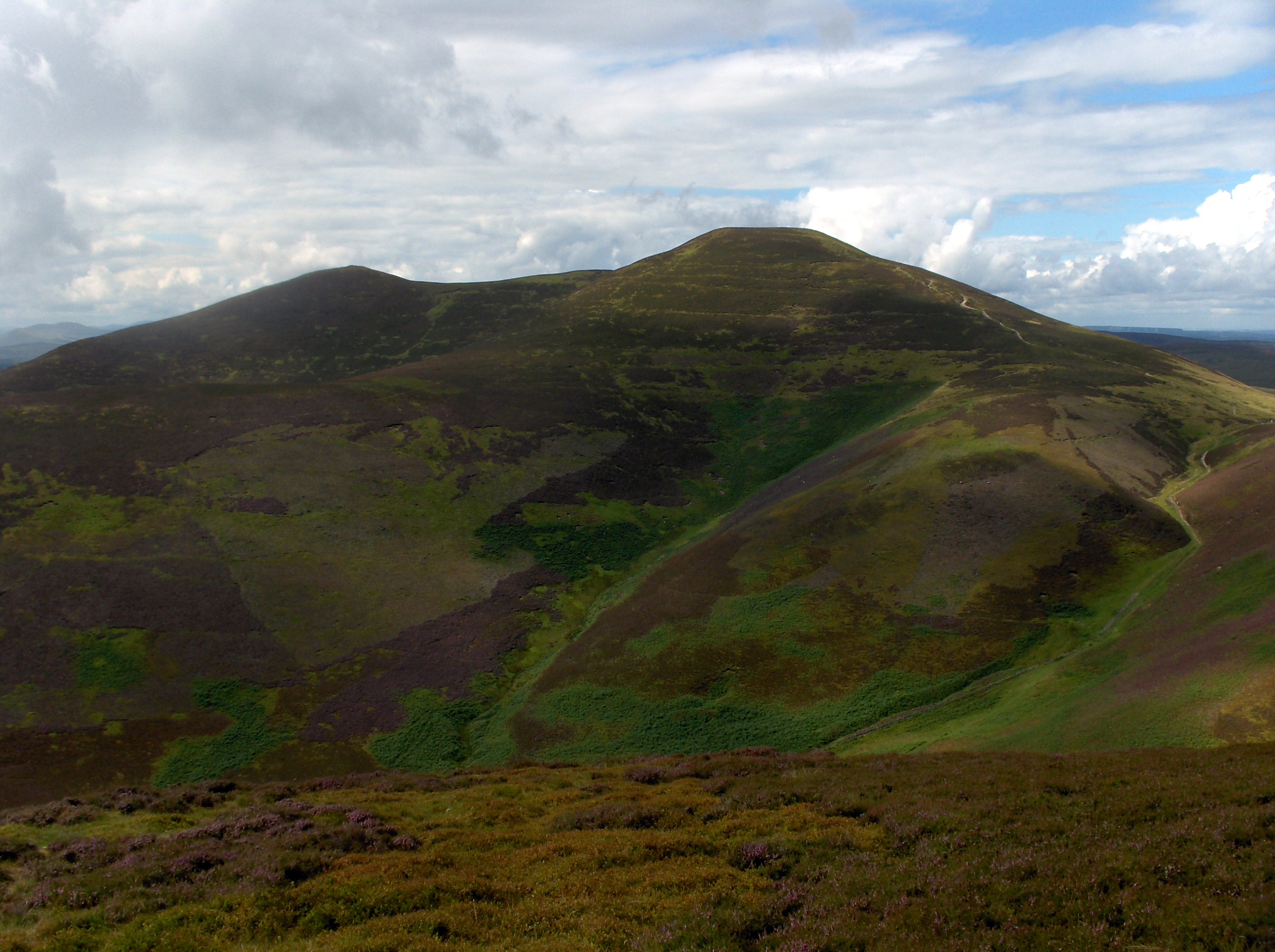
Scald Law

Scald Law is a hill in Midlothian, Scotland. At 579 metres (1,900 ft) it is the highest of the Pentland Hills. The hill is composed of Devonian volcanic...

Nearby Amenities

Located within 500m of 55.822,-3.317
Cap Law
Ele: 497
Natural: peak
Wikidata: Q19277070
Lat/Long: 55.8253378/-3.3179594
The data included in this document is from www.openstreetmap.org. The data is made available under ODbL.

Have you been to Font Stone?

Leave your review of Font Stone below (or comments, questions and feedback).