Cap Law Plantation

Wood, Forest in Midlothian

Scotland

Cap Law Plantation

Stile on Scroggy Hill The Pentland Way is a 32 km long-distance path along the length of the Pentland Hills, established in 2015. The section from Nine Mile Burn to West Kip follows a relatively new path up Monk's Rigg (seen here) which does not appear as yet on OS maps.
Stile on Scroggy Hill Credit: Oliver Dixon

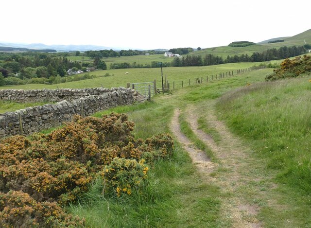
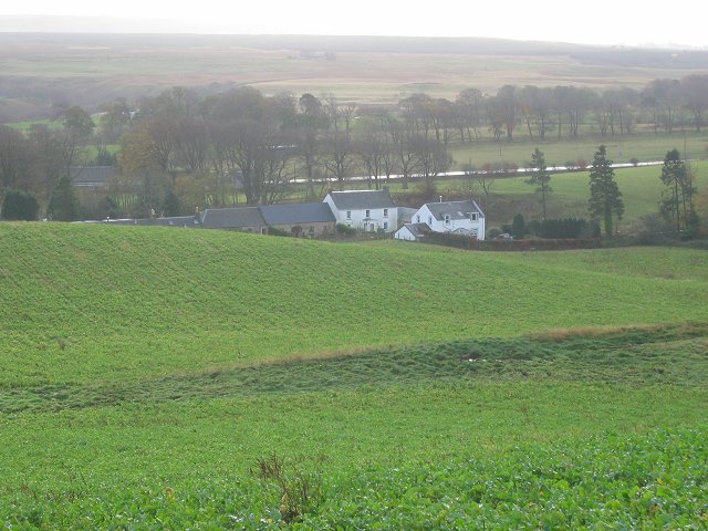
Cap Law Plantation is a vast and picturesque forested area located in Midlothian, Scotland. Situated in the Wood and Forest region, this plantation covers a significant area of land and is known for its rich biodiversity and natural beauty.

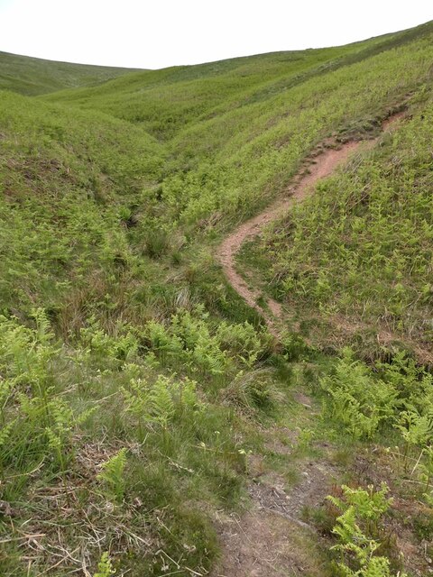
The plantation is characterized by its dense woodland, comprising a variety of tree species, including oak, beech, and birch. These trees create a mesmerizing landscape, especially during the autumn season when the leaves change color, turning the plantation into a vibrant and captivating sight.

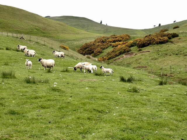
Cap Law Plantation is also home to a diverse range of wildlife. The forest provides a sanctuary for numerous species, such as deer, foxes, badgers, and a variety of birds. Nature enthusiasts and birdwatchers flock to the plantation to catch glimpses of these fascinating creatures in their natural habitat.

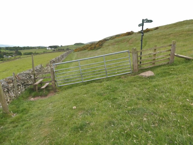
Moreover, the plantation offers various recreational activities for visitors. There are several well-maintained trails and paths that wind through the forest, providing excellent opportunities for hiking, walking, and cycling. The peaceful ambiance and serene atmosphere make it a perfect place for nature lovers to explore and immerse themselves in the beauty of the surrounding environment.

In addition to its natural attractions, Cap Law Plantation holds historical significance. It has been a part of the region for centuries and has witnessed various events and changes throughout its existence. The plantation serves as a reminder of the area's past and offers a glimpse into the historical significance of the Wood and Forest region.

Overall, Cap Law Plantation in Midlothian is a captivating destination that combines natural splendor, wildlife diversity, recreational opportunities, and historical significance, making it an ideal place for individuals seeking to connect with nature and explore the rich heritage of the region.

If you have any feedback on the listing, please let us know in the comments section below.

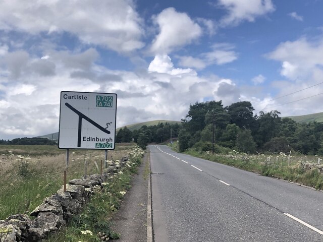
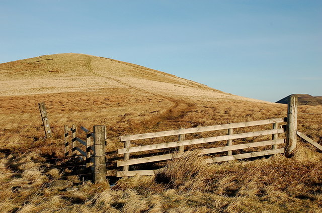
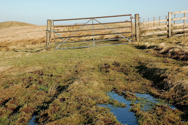
Cap Law Plantation Images

Images are sourced within 2km of 55.826/-3.3154446 or Grid Reference NT1759. Thanks to Geograph Open Source API. All images are credited.

Stile on Scroggy Hill The Pentland Way is a 32 km long-distance path along the length of the Pentland Hills, established in 2015. The section from Nine Mile Burn to West Kip follows a relatively new path up Monk's Rigg (seen here) which does not appear as yet on OS maps.
Stile on Scroggy Hill
The Pentland Way is a 32 km long-distance path along the length of the Pentland Hills, established in 2015. The section from Nine Mile Burn to West Kip follows a relatively new path up Monk's Rigg (seen here) which does not appear as yet on OS maps.
Stile on the Pentland Way Looking across the valley of the Monk's Burn.
Stile on the Pentland Way
Looking across the valley of the Monk's Burn.
Track above Nine Mile Burn
Gate on track above Nine Mile Burn The signpost points to alternative routes up to the summit of West Kip - Monk's Rigg (to the right) and Braid Law (towards the camera).
Gate on track above Nine Mile Burn
The signpost points to alternative routes up to the summit of West Kip - Monk's Rigg (to the right) and Braid Law (towards the camera).
Wool gathering On a fence above Walstone Farm.
Wool gathering
On a fence above Walstone Farm.
Sheep in the valley of the Walstone Burn Cap Law on the skyline.
Sheep in the valley of the Walstone Burn
Cap Law on the skyline.
Path in the valley  of the Quarrel Burn Heading up Braid Law.
Path in the valley of the Quarrel Burn
Heading up Braid Law.
Path across the Quarrel Burn Quarrel Burn Reservoir in the background.
Path across the Quarrel Burn
Quarrel Burn Reservoir in the background.
West end of the A766 The A766 is a very scenic short road out of Penicuik.  Note the skier on the sign - the Pentland Hills are very popular with skiers in Winter and there is also the all season slope at Hillend, so very appropriate.
West end of the A766
The A766 is a very scenic short road out of Penicuik. Note the skier on the sign - the Pentland Hills are very popular with skiers in Winter and there is also the all season slope at Hillend, so very appropriate.
One man and his mutt View looking down the side Cap Law to a reservoir.  The shadows are me and my dog!
One man and his mutt
View looking down the side Cap Law to a reservoir. The shadows are me and my dog!
Farmland near Nine Mile Burn Barns near Walstone Steading seen from the path to Monks Rig. Traprain Law is on the horizon above centre.
Farmland near Nine Mile Burn
Barns near Walstone Steading seen from the path to Monks Rig. Traprain Law is on the horizon above centre.
Looking south from Monks Rig A view to the grassland on the lower slopes of this Pentlands ridge from the path up Monks Rig.
Looking south from Monks Rig
A view to the grassland on the lower slopes of this Pentlands ridge from the path up Monks Rig.
Monks Burn, Pentland Hills An old sheepfold near the head of this burn below Monks Rig.
Monks Burn, Pentland Hills
An old sheepfold near the head of this burn below Monks Rig.
Pentland peaks from Green Law summit From L to R: West Kip, East Kip, Scald Law and South Black Hill showing up well on a clear January day.
Pentland peaks from Green Law summit
From L to R: West Kip, East Kip, Scald Law and South Black Hill showing up well on a clear January day.
Path on Green Law A path through tussocky grass down to the col below Spittal Hill.
Path on Green Law
A path through tussocky grass down to the col below Spittal Hill.
Green Law from the south Straightforward grassy hills that can give an exhilarating walk on a clear day with distant views.
Green Law from the south
Straightforward grassy hills that can give an exhilarating walk on a clear day with distant views.
Summit fence and gate, Spittal Hill A fine clear day with good views to the more popular Pentland Hills: Black Hill, West and East Kip and Scald Law (L to R).
Summit fence and gate, Spittal Hill
A fine clear day with good views to the more popular Pentland Hills: Black Hill, West and East Kip and Scald Law (L to R).
Spittal Hill A flat-topped grassy ridge with several fences, but all are provided with gates on the ridge line.
Spittal Hill
A flat-topped grassy ridge with several fences, but all are provided with gates on the ridge line.
Show me another place!

Cap Law Plantation is located at Grid Ref: NT1759 (Lat: 55.826, Lng: -3.3154446)

Unitary Authority: Midlothian

Police Authority: The Lothians and Scottish Borders

What 3 Words

///live.chitchat.contour. Near Penicuik, Midlothian

Related Wikis

South Black Hill

South Black Hill is a hill in the Pentland Hills range of Scotland. It is located in the west of Midlothian on the east flank of the approximately 25 km...

Eight Mile Burn

Eight Mile Burn is a small settlement in Midlothian, South East Scotland, at the base of Pentland Hills Regional Park. It is approximately 11 miles from...
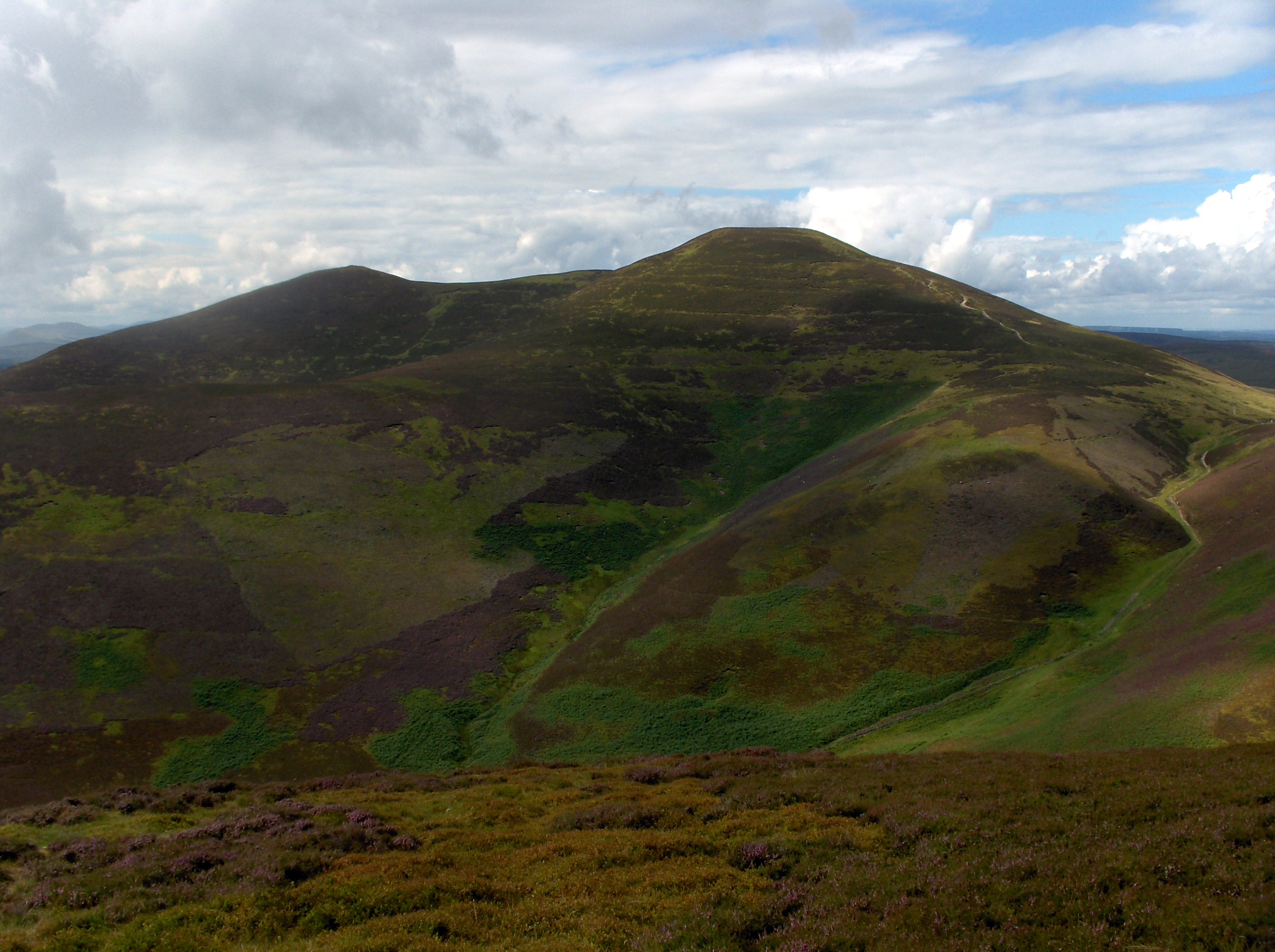
Scald Law

Scald Law is a hill in Midlothian, Scotland. At 579 metres (1,900 ft) it is the highest of the Pentland Hills. The hill is composed of Devonian volcanic...

Nine Mile Burn

Nine Mile Burn is a hamlet in Midlothian, Scotland, the last in Midlothian when heading south on the A702 road. It is located at the foot of the Pentland...

Nearby Amenities

Located within 500m of 55.826,-3.3154446
Cap Law
Ele: 497
Natural: peak
Wikidata: Q19277070
Lat/Long: 55.8253378/-3.3179594
Ele: 460
Natural: saddle
Lat/Long: 55.8296779/-3.3191386
Barrier: stile
Lat/Long: 55.8293683/-3.3183043
The data included in this document is from www.openstreetmap.org. The data is made available under ODbL.

Have you been to Cap Law Plantation?

Leave your review of Cap Law Plantation below (or comments, questions and feedback).