Eastlow Hill Tumuli

Heritage Site in Suffolk West Suffolk

England

Eastlow Hill Tumuli

Harvested field east of Linkwood Road The tower of Bradfield St George church is just visible in the distance.
Harvested field east of Linkwood Road Credit: Robin Webster

Eastlow Hill Tumuli, located in Suffolk, is a significant heritage site that consists of a collection of ancient burial mounds, or tumuli. Situated on a gently sloping hillside, these mounds are thought to date back to the Bronze Age, approximately 4,000 years ago.

The tumuli at Eastlow Hill are circular in shape and vary in size, ranging from small mounds to larger ones measuring around 30 meters in diameter. The mounds are constructed using soil and gravel, with some containing a central burial chamber made from timber or stone. Archaeologists believe that these mounds were created as burial sites for important individuals or members of the local community.

Excavations carried out at Eastlow Hill Tumuli have uncovered various artifacts and remains, shedding light on the lives and customs of the people who lived during the Bronze Age. Archaeological findings have included pottery, flint tools, and human remains, providing valuable insights into the burial practices and material culture of this ancient society.

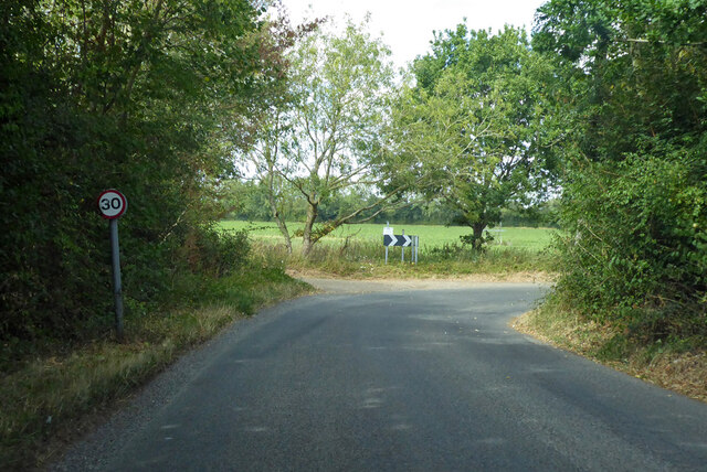
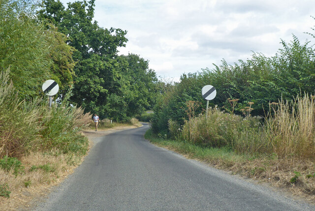
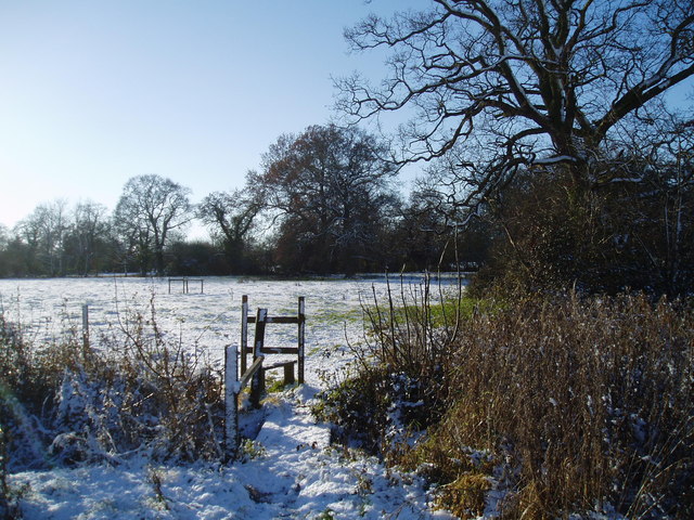
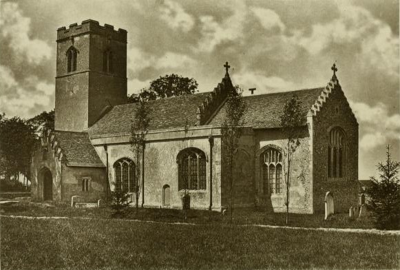
The site is surrounded by picturesque countryside, offering visitors a peaceful and scenic atmosphere. It is a popular destination for both historians and nature enthusiasts, attracting visitors who are interested in exploring the area's rich history and enjoying the natural beauty of the landscape.

Eastlow Hill Tumuli is protected as a scheduled ancient monument, ensuring its preservation for future generations. It serves as a reminder of the region's ancient past and contributes to our understanding of the Bronze Age civilization that once thrived in this area of Suffolk.

If you have any feedback on the listing, please let us know in the comments section below.

Eastlow Hill Tumuli Images

Images are sourced within 2km of 52.2222/0.7795 or Grid Reference TL8961. Thanks to Geograph Open Source API. All images are credited.

Harvested field east of Linkwood Road The tower of Bradfield St George church is just visible in the distance.
Harvested field east of Linkwood Road
The tower of Bradfield St George church is just visible in the distance.
Stationary traffic, A14, Millfield Plantation Traffic was backed up from a multi-vehicle collision a mile further on.
Stationary traffic, A14, Millfield Plantation
Traffic was backed up from a multi-vehicle collision a mile further on.
Eastlow Hill, Rougham Looking east.
Eastlow Hill, Rougham
Looking east.
Bend on Moat Lane, Rougham The moat is at Moat Farm, a bit further back.
Bend on Moat Lane, Rougham
The moat is at Moat Farm, a bit further back.
Nether Street becomes derestricted Leaving Rougham and Kingshall Street behind.
Nether Street becomes derestricted
Leaving Rougham and Kingshall Street behind.
Crop field towards Rushbrooke Woods Looking north.
Crop field towards Rushbrooke Woods
Looking north.
A footpath that leads through hotel grounds
Poplars Along New Road The west side of New Road,Rougham, south of the junction with Church Road.
Poplars Along New Road
The west side of New Road,Rougham, south of the junction with Church Road.
Stubble Field The footpath on the left leads from Church Road to Moat Lane. The trees in the middle of the field surround the small pond shown on the 1:25000 map.
Stubble Field
The footpath on the left leads from Church Road to Moat Lane. The trees in the middle of the field surround the small pond shown on the 1:25000 map.
Fields Beside Church Road, Rougham Looking south from Church Road
Fields Beside Church Road, Rougham
Looking south from Church Road
Footpath from Rougham Green to Kingshall Street The houses in the background are on Kingshall Street
Footpath from Rougham Green to Kingshall Street
The houses in the background are on Kingshall Street
Stile on the footpath to Eastlow Hill
Pollarded Oak Trees There are several old pollarded oak trees in this meadow at Rougham Green.
Pollarded Oak Trees
There are several old pollarded oak trees in this meadow at Rougham Green.
Autumn Colours The oak trees didn't lose their leaves until mid December. The houses in the distance are at Newthorpe and The Downs.
Autumn Colours
The oak trees didn't lose their leaves until mid December. The houses in the distance are at Newthorpe and The Downs.
Muddy Farm Track Rushbrooke Wood is in the distance.
Muddy Farm Track
Rushbrooke Wood is in the distance.
Colville's Grove and Kingshall Farm
Footpath from Kingshall Street to Rougham Green
Poppies at Newthorpe The tower of Rougham church is just visible through the trees on the far left.
Poppies at Newthorpe
The tower of Rougham church is just visible through the trees on the far left.
Show me another place!

Eastlow Hill Tumuli is located at Grid Ref: TL8961 (Lat: 52.2222, Lng: 0.7795)

Administrative County: Suffolk

District: West Suffolk

Police Authority: Suffolk

What 3 Words

///balance.fractions.walled. Near Thurston, Suffolk

Related Wikis

Rushbrooke with Rougham

Rushbrooke with Rougham is a large civil parish in the West Suffolk district of Suffolk in eastern England covering the villages of Blackthorpe, Rougham...
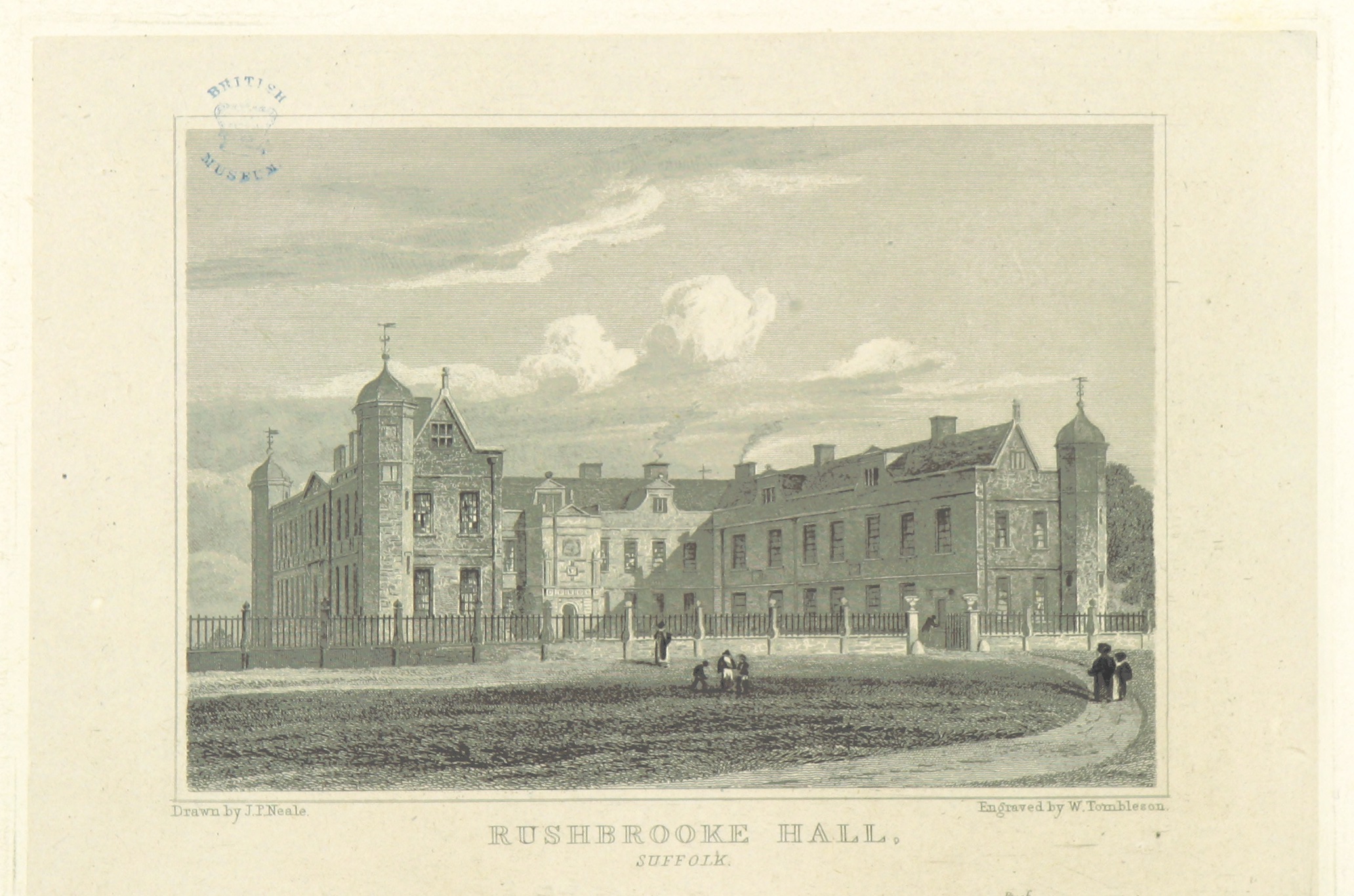
Rushbrooke Hall

Rushbrooke Hall was a British stately home in Rushbrooke, Suffolk. For several hundred years it was the family seat of the Jermyn family. It was demolished...

Rushbrooke, West Suffolk

Rushbrooke is a village and former civil parish on the River Lark, 20 miles (32 km) north west of Ipswich, now in the parish of Rushbrooke with Rougham...

Rougham, Suffolk

Rougham is a village and former civil parish 19 miles (31 km) north west of Ipswich, now in the parish of Rushbrooke with Rougham, in the West Suffolk...

Little Whelnetham

Little Whelnetham (well-NEE-thum) (sometimes Little Welnetham) is a village and civil parish in the West Suffolk district of Suffolk in eastern England...

Thedwastre Hundred

Thedwastre (also Thedwestry) was a hundred of the county of Suffolk, England covering an area of 40,362 acres (163.34 km2). It formed part of the Liberty...

Bradfield St George

Bradfield St. George is a village and civil parish in the West Suffolk district of Suffolk, England, about 6 miles (9.7 km) south of Bury St Edmunds. According...

Sicklesmere

Sicklesmere is a village in Suffolk, England. Located on the A134 around a mile south of Bury St Edmunds, the village is divided between the civil parishes...

Nearby Amenities

Located within 500m of 52.2222,0.7795
Power: tower
Lat/Long: 52.223281/0.7756625
Power: tower
Lat/Long: 52.2206556/0.7763169
Power: tower
Lat/Long: 52.222118/0.7724974
Power: tower
Lat/Long: 52.2243611/0.7737849
Power: tower
Lat/Long: 52.2183551/0.7823572
Power: tower
Lat/Long: 52.2196565/0.7789347
Power: tower
Lat/Long: 52.2233978/0.7778697
Power: tower
Lat/Long: 52.2236854/0.7848596
Power: pole
Lat/Long: 52.2224218/0.7822771
Power: tower
Lat/Long: 52.2235781/0.7824186
Power: pole
Lat/Long: 52.2234849/0.7824193
Power: pole
Lat/Long: 52.2215198/0.7821886
Power: pole
Lat/Long: 52.2188216/0.7818935
Power: pole
Lat/Long: 52.2196383/0.7819955
Power: pole
Lat/Long: 52.220481/0.7820904
Power: tower
Lat/Long: 52.2234788/0.7801603
The data included in this document is from www.openstreetmap.org. The data is made available under ODbL.

Have you been to Eastlow Hill Tumuli?

Leave your review of Eastlow Hill Tumuli below (or comments, questions and feedback).