Voils Grove
Wood, Forest in Suffolk West Suffolk
England
Voils Grove

Voils Grove, Suffolk is a picturesque woodland area located in the county of Suffolk, England. Nestled within the heart of the countryside, this enchanting forest is a haven for nature lovers and outdoor enthusiasts alike.
Covering an expansive area of land, Voils Grove is known for its dense and diverse vegetation. The forest is predominantly comprised of deciduous trees, including oak, beech, and ash, which create a stunning canopy of vibrant colors during the autumn season. The forest floor is carpeted with a rich assortment of wildflowers, ferns, and mosses, adding to the area's natural beauty.
The woodland is crisscrossed by a network of well-maintained trails, making it an ideal location for hiking, walking, and cycling. These paths offer visitors the opportunity to explore the forest at their own pace, providing a chance to immerse themselves in the tranquility and serenity of their surroundings.
Voils Grove is also home to a variety of wildlife, including deer, foxes, rabbits, and an array of bird species. Birdwatchers can delight in spotting woodpeckers, owls, and various songbirds throughout the forest.
The forest's peaceful ambiance and unspoiled beauty make it a popular destination for nature photographers, artists, and those seeking a retreat from the hustle and bustle of everyday life. Camping and picnicking are permitted in designated areas, allowing visitors to fully immerse themselves in the natural environment.
Overall, Voils Grove, Suffolk is a hidden gem in the Suffolk countryside, offering a peaceful retreat and a chance to connect with nature.
If you have any feedback on the listing, please let us know in the comments section below.
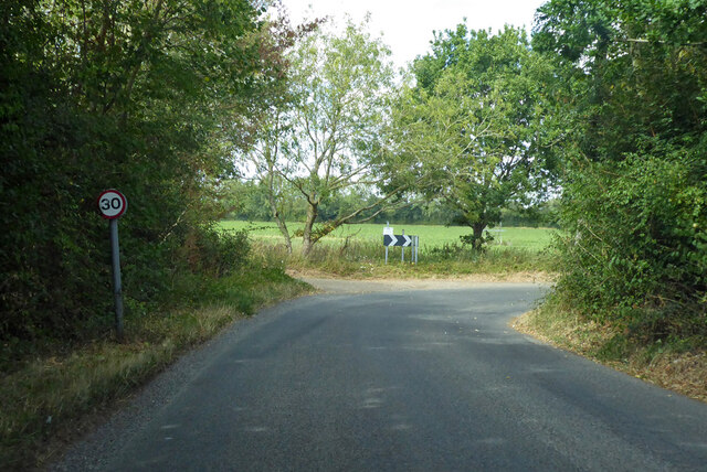
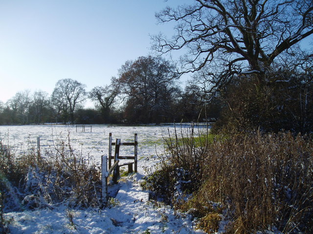
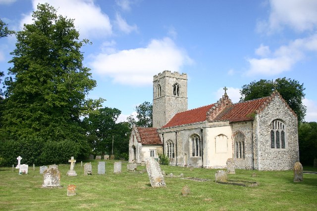
Voils Grove Images
Images are sourced within 2km of 52.220958/0.77542513 or Grid Reference TL8961. Thanks to Geograph Open Source API. All images are credited.


Voils Grove is located at Grid Ref: TL8961 (Lat: 52.220958, Lng: 0.77542513)
Administrative County: Suffolk
District: West Suffolk
Police Authority: Suffolk
What 3 Words
///shin.sideburns.famed. Near Thurston, Suffolk
Nearby Locations
Related Wikis
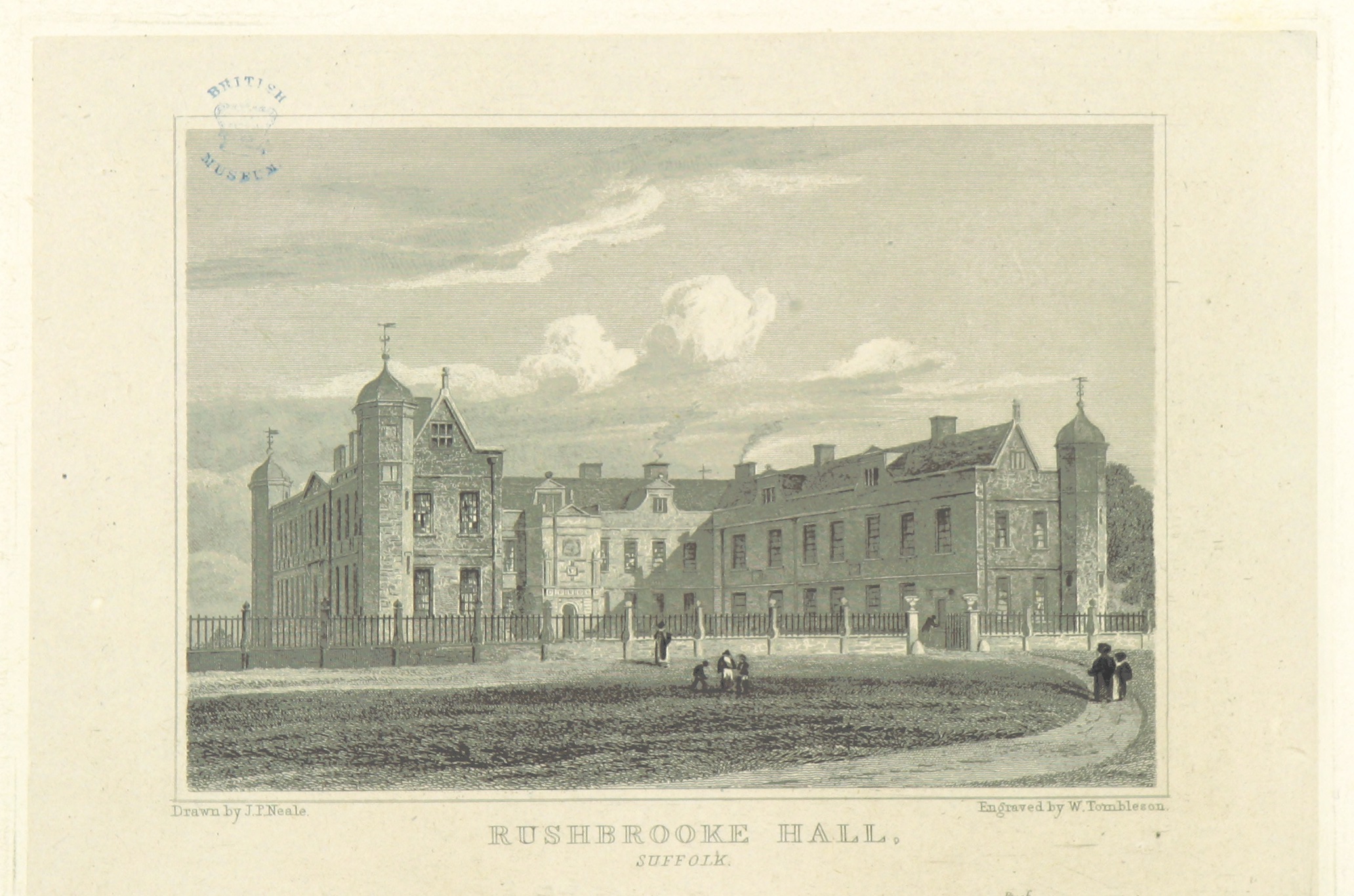
Rushbrooke Hall
Rushbrooke Hall was a British stately home in Rushbrooke, Suffolk. For several hundred years it was the family seat of the Jermyn family. It was demolished...
Rushbrooke, West Suffolk
Rushbrooke is a village and former civil parish on the River Lark, 20 miles (32 km) north west of Ipswich, now in the parish of Rushbrooke with Rougham...
Rushbrooke with Rougham
Rushbrooke with Rougham is a large civil parish in the West Suffolk district of Suffolk in eastern England covering the villages of Blackthorpe, Rougham...

Rougham, Suffolk
Rougham is a village and former civil parish 19 miles (31 km) north west of Ipswich, now in the parish of Rushbrooke with Rougham, in the West Suffolk...
Nearby Amenities
Located within 500m of 52.220958,0.77542513Have you been to Voils Grove?
Leave your review of Voils Grove below (or comments, questions and feedback).