Eastleigh Court

Heritage Site in Wiltshire

England

Eastleigh Court

A36 towards Bath Bypassing Warminster.
A36 towards Bath Credit: Robin Webster

Eastleigh Court, located in Wiltshire, England, is a significant heritage site that holds historical and architectural importance. The court is an impressive Grade II* listed building, showcasing remarkable Georgian architecture and design elements.

Constructed in the late 18th century, Eastleigh Court served as the country residence of the influential Penruddock family. The building itself is a two-story brick structure with a symmetrical façade, adorned with elegant sash windows and a central entrance portico. The interior of the court boasts grand rooms with high ceilings, intricate plasterwork, and original period features, providing a glimpse into the opulence of its past.

The surrounding grounds of Eastleigh Court also contribute to its heritage value. The estate encompasses beautifully landscaped gardens, including a walled garden with carefully cultivated flower beds and a picturesque pond. Additionally, the court is set within extensive parkland, offering visitors a tranquil and idyllic setting to explore.

Over the years, Eastleigh Court has retained much of its original character and charm. The building has been well-preserved and restored, ensuring its architectural integrity. Today, it stands as a testament to the grandeur and elegance of the Georgian era, attracting visitors interested in history, architecture, and heritage tourism.

As a heritage site, Eastleigh Court offers guided tours, educational programs, and events to engage visitors with its rich history. Its cultural significance and architectural splendor make it a valuable asset to the heritage of Wiltshire and a must-visit destination for those interested in the region's past.

If you have any feedback on the listing, please let us know in the comments section below.

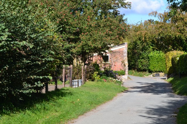
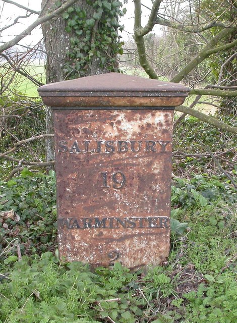
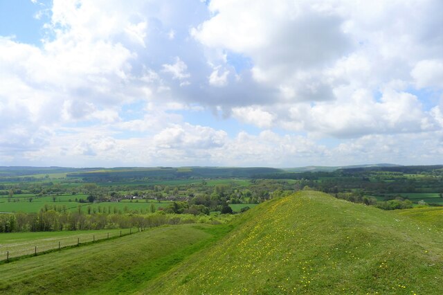
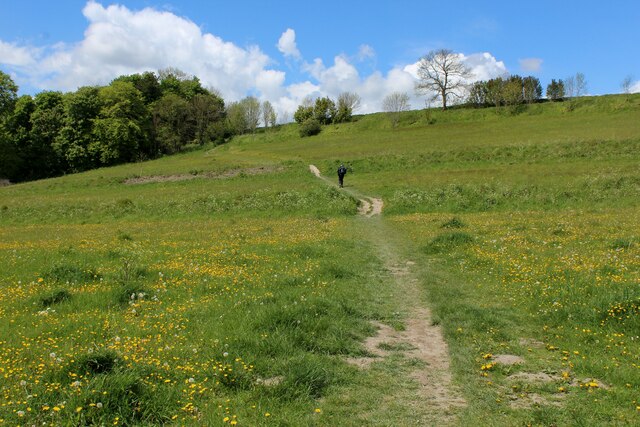
Eastleigh Court Images

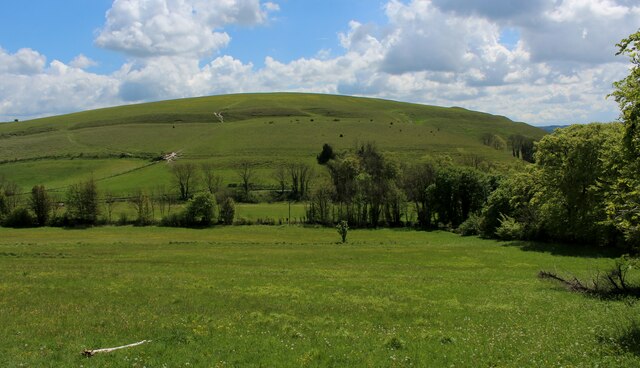
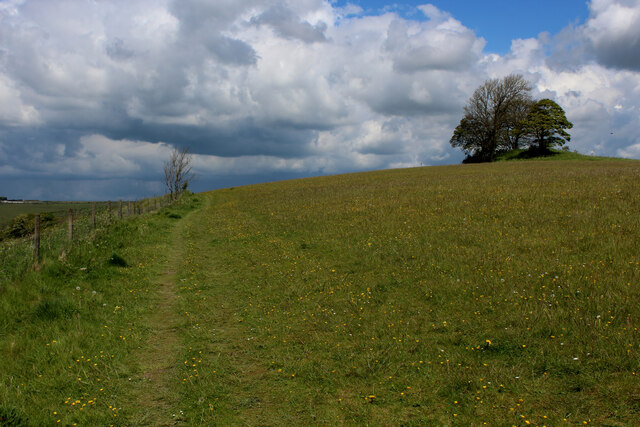
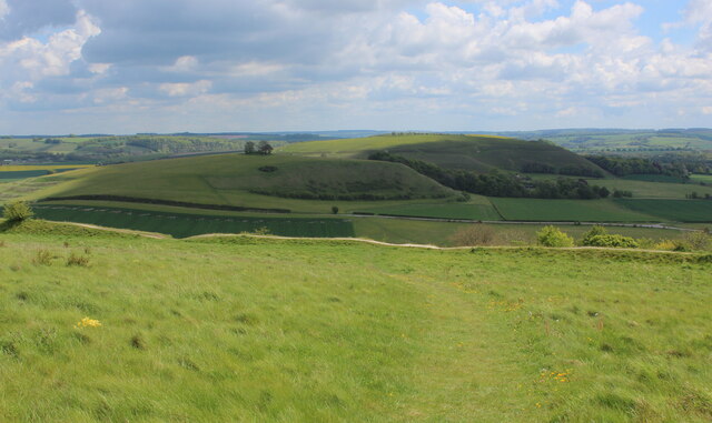
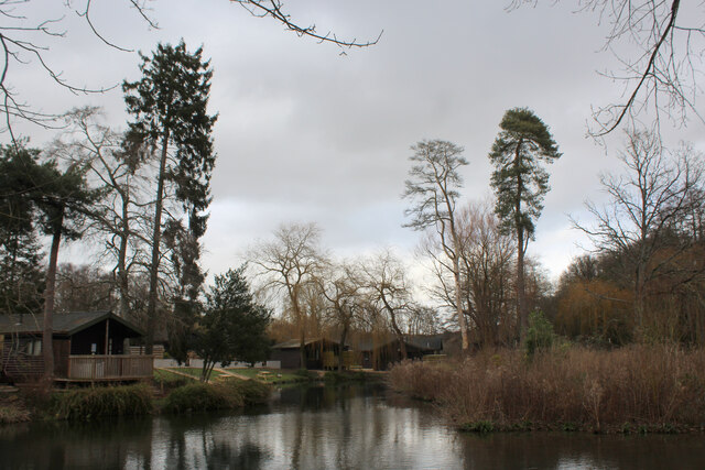
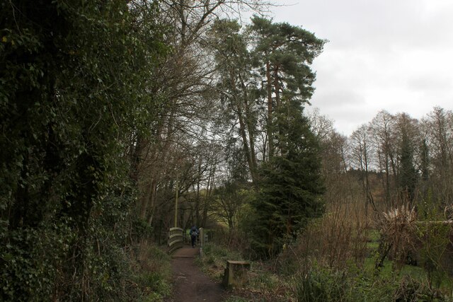
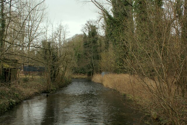
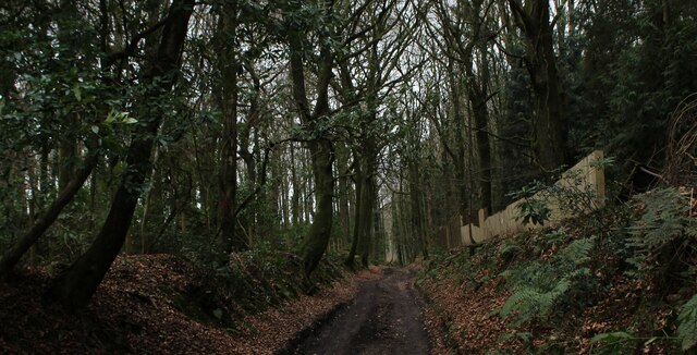
Images are sourced within 2km of 51.192/-2.156 or Grid Reference ST8943. Thanks to Geograph Open Source API. All images are credited.

A36 towards Bath Bypassing Warminster.
A36 towards Bath
Bypassing Warminster.
A36 The A36 is the principal route from Bristol and Wales to the central south coast. It runs 65 miles from Totton to Bath, via Salisbury.
<span class="nowrap"><a title="http://www.sabre-roads.org.uk/wiki/index.php?title=A36" rel="nofollow ugc noopener" href="http://www.sabre-roads.org.uk/wiki/index.php?title=A36">Link</a><img style="margin-left:2px;" alt="External link" title="External link - shift click to open in new window" src="https://s1.geograph.org.uk/img/external.png" width="10" height="10"/></span>
A36
The A36 is the principal route from Bristol and Wales to the central south coast. It runs 65 miles from Totton to Bath, via Salisbury. LinkExternal link
Norton Bavant, lay-by On A36 southbound. The road has been gritted, and snow is not forecast to stay.
Norton Bavant, lay-by
On A36 southbound. The road has been gritted, and snow is not forecast to stay.
Recreation ground at Norton Bavant
Best's Lane, Sutton Veny
Old Milepost by the B3414, Warminster Road, Norton Bavant Cast iron post by the B3414, in parish of Norton Bavant (West Wiltshire District), Warminster Road; 800m East of entrance to Bishopstrow Farm, by the road, on Southwest side of road. C&M Classical iron casting, erected by the Warminster turnpike trust in the 19th century. 

Inscription reads:-
SALISBURY
19
WARMINSTER
2

Grade II listed.  
List Entry Number: 1364340 <span class="nowrap"><a title="https://historicengland.org.uk/listing/the-list/list-entry/1364340" rel="nofollow ugc noopener" href="https://historicengland.org.uk/listing/the-list/list-entry/1364340">Link</a><img style="margin-left:2px;" alt="External link" title="External link - shift click to open in new window" src="https://s1.geograph.org.uk/img/external.png" width="10" height="10"/></span>

Milestone Society National ID: WI_SAWM19
Old Milepost by the B3414, Warminster Road, Norton Bavant
Cast iron post by the B3414, in parish of Norton Bavant (West Wiltshire District), Warminster Road; 800m East of entrance to Bishopstrow Farm, by the road, on Southwest side of road. C&M Classical iron casting, erected by the Warminster turnpike trust in the 19th century. Inscription reads:- SALISBURY 19 WARMINSTER 2 Grade II listed. List Entry Number: 1364340 LinkExternal link Milestone Society National ID: WI_SAWM19
On the rampart at the south end of Scratchbury Hill A 'univallate' iron age hillfort. The single rampart is nevertheless an impressive structure. Looking over the village of Norton Bavant in the Wylye valley
On the rampart at the south end of Scratchbury Hill
A 'univallate' iron age hillfort. The single rampart is nevertheless an impressive structure. Looking over the village of Norton Bavant in the Wylye valley
Wessex Ridgeway ascending Middle Hill from the East The long distance footpath ascends the eastern flank of Middle Hill, crossing Strip Lynchets in the process - medieval lines of ploughed land, seen as grassed over ridges in the photograph
Wessex Ridgeway ascending Middle Hill from the East
The long distance footpath ascends the eastern flank of Middle Hill, crossing Strip Lynchets in the process - medieval lines of ploughed land, seen as grassed over ridges in the photograph
View towards Scratchbury Hill Looking south east from the flanks of Middle Hill
View towards Scratchbury Hill
Looking south east from the flanks of Middle Hill
Summit of Middle Hill The clump of trees marks the summit, while the footpath is adopted by the Wessex Ridgeway as it follows the western edge before descending down the flank of the hill.
Summit of Middle Hill
The clump of trees marks the summit, while the footpath is adopted by the Wessex Ridgeway as it follows the western edge before descending down the flank of the hill.
View towards Middle Hill From Battlesbury Camp, looking east towards Middle Hill and Scratchbury Hill beyond.
View towards Middle Hill
From Battlesbury Camp, looking east towards Middle Hill and Scratchbury Hill beyond.
Climbing up the south-east flank of Middle Hill The Wessex Ridgeway path about to cross the small terrace of a 'strip lynchet'.
Climbing up the south-east flank of Middle Hill
The Wessex Ridgeway path about to cross the small terrace of a 'strip lynchet'.
View from Middle Hill View from the chalk escarpment on the southern edge of Salisbury Plain, looking over Warminster towards the double hump of Cley Hill on the horizon
View from Middle Hill
View from the chalk escarpment on the southern edge of Salisbury Plain, looking over Warminster towards the double hump of Cley Hill on the horizon
B3414 towards Warminster The old route of the A36 before a bypass was built.
B3414 towards Warminster
The old route of the A36 before a bypass was built.
Hunters Moon Lodges A holiday park in Henfords Marsh beside the River Wylye, near Warminster
Hunters Moon Lodges
A holiday park in Henfords Marsh beside the River Wylye, near Warminster
Footpath in Henfords Marsh The path crosses the River Wylye near Warminster
Footpath in Henfords Marsh
The path crosses the River Wylye near Warminster
River Wylye near Warminster The river slowly makes its way through Henfords Marsh
River Wylye near Warminster
The river slowly makes its way through Henfords Marsh
Track in Woodcroft Wood Bridleway heading southwards to Southleigh Woods
Track in Woodcroft Wood
Bridleway heading southwards to Southleigh Woods
Show me another place!

Eastleigh Court is located at Grid Ref: ST8943 (Lat: 51.192, Lng: -2.156)

Unitary Authority: Wiltshire

Police Authority: Wiltshire

What 3 Words

///reflector.edgy.simulations. Near Bishopstrow, Wiltshire

Related Wikis

Bishopstrow

Bishopstrow is a small village and civil parish in Wiltshire, England, on the southeastern edge of the town of Warminster. The village is about 1.5 miles...

Bishopstrow House

Bishopstrow Hotel & Spa is a late-Georgian English country house standing near the B3414 (Salisbury road) in the parish of Bishopstrow, about a mile east...

St John's Church, Warminster

St John's Church, in full the Church of St John the Evangelist, is a Church of England church in the Boreham area in the south-east of the town of Warminster...

Kingdown School

Kingdown School is a mixed secondary school and sixth form in Warminster, Wiltshire, England for students aged 11 to 18. Since 1 August 2011, the school...

Nearby Amenities

Located within 500m of 51.192,-2.156
Archaeological Site: tumulus
Historic: archaeological_site
Lat/Long: 51.1887693/-2.153218
Post Box
Brand: Royal Mail
Brand Wikidata: Q638098
Brand Wikipedia: en:Royal Mail
Operator: Royal Mail
Operator Wikidata: Q638098
Post Box Type: wall
Ref: BA12 19
Royal Cypher: VR
Royal Cypher Wikidata: Q33102356
Lat/Long: 51.1932127/-2.1539104
Bus Stop
Bishopstrow Bus Stop
Bus: yes
Public Transport: platform
Lat/Long: 51.1943692/-2.1550154
Bishopstrow
Place: village
Lat/Long: 51.1934111/-2.1539973
The data included in this document is from www.openstreetmap.org. The data is made available under ODbL.

Have you been to Eastleigh Court?

Leave your review of Eastleigh Court below (or comments, questions and feedback).