Dvrovigvtvm
Heritage Site in Huntingdonshire Huntingdonshire
England
Dvrovigvtvm

Dvrovigvtvm, located in Huntingdonshire, is a significant heritage site that holds historical and cultural importance. This ancient Roman settlement is situated on the eastern bank of the River Great Ouse, approximately 80 kilometers north of London, England.
Dvrovigvtvm, also known as Durovigutum, was established as a Roman fort during the early 1st century AD. Its strategic location made it a vital defensive outpost along the Roman road known as Ermine Street, which connected London with Lincoln. The fort was constructed using timber and earthworks, and was later replaced by stone structures during the 2nd and 3rd centuries.
Excavations at Dvrovigvtvm have revealed a wealth of archaeological treasures. The remains of a bathhouse, barracks, granaries, and a central courtyard have been unearthed, providing valuable insights into the daily lives of Roman soldiers stationed there. The fort's defensive walls and gates have also been preserved to a considerable extent.
Dvrovigvtvm played a crucial role in the Roman occupation of Britain and served as a key hub for military operations. It is believed to have housed a cohort of auxiliary soldiers responsible for maintaining peace and security in the region. The fort's strategic importance diminished during the late Roman period, and it eventually fell into disuse.
Today, Dvrovigvtvm stands as a fascinating heritage site that offers visitors a glimpse into the Roman occupation of Britain. Its archaeological remains provide valuable evidence of Roman military architecture and daily life. Managed by local authorities, the site is open to the public, allowing for educational and recreational visits, as well as ongoing archaeological research and preservation efforts.
If you have any feedback on the listing, please let us know in the comments section below.
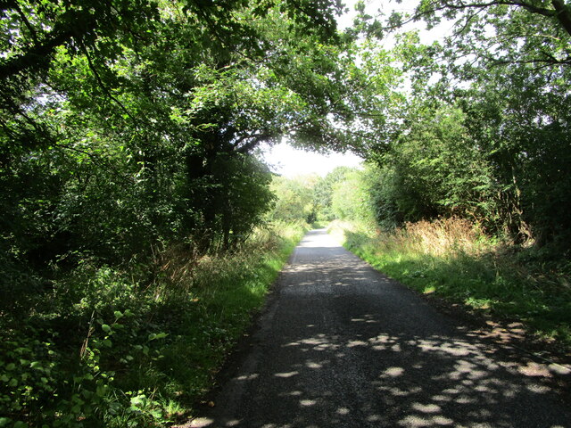
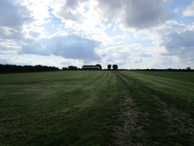
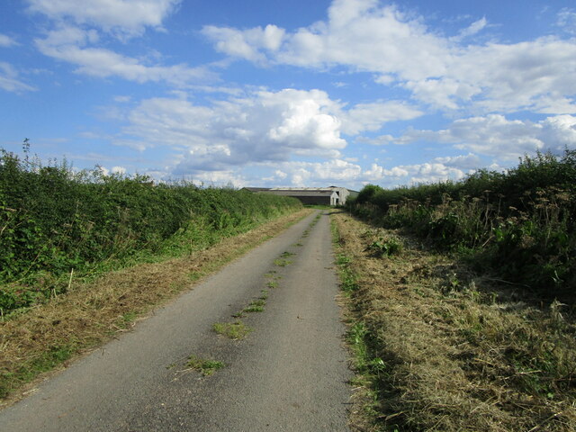
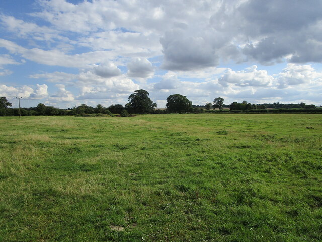
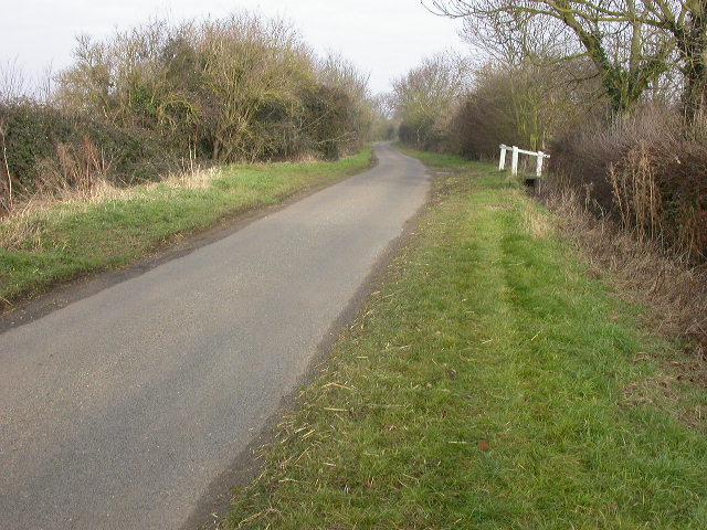
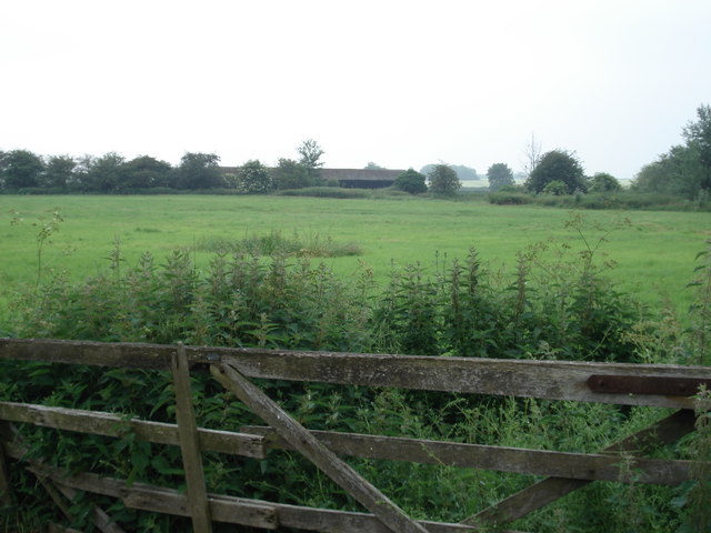
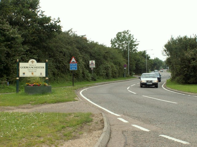
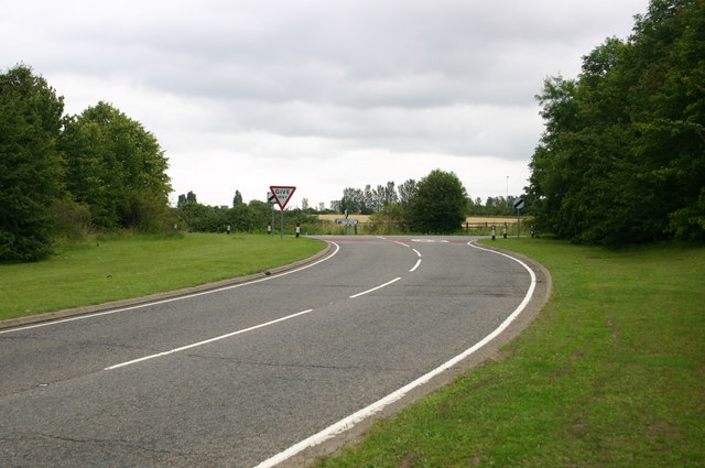
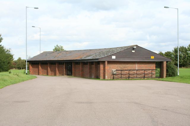
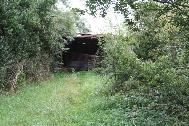
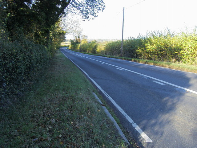
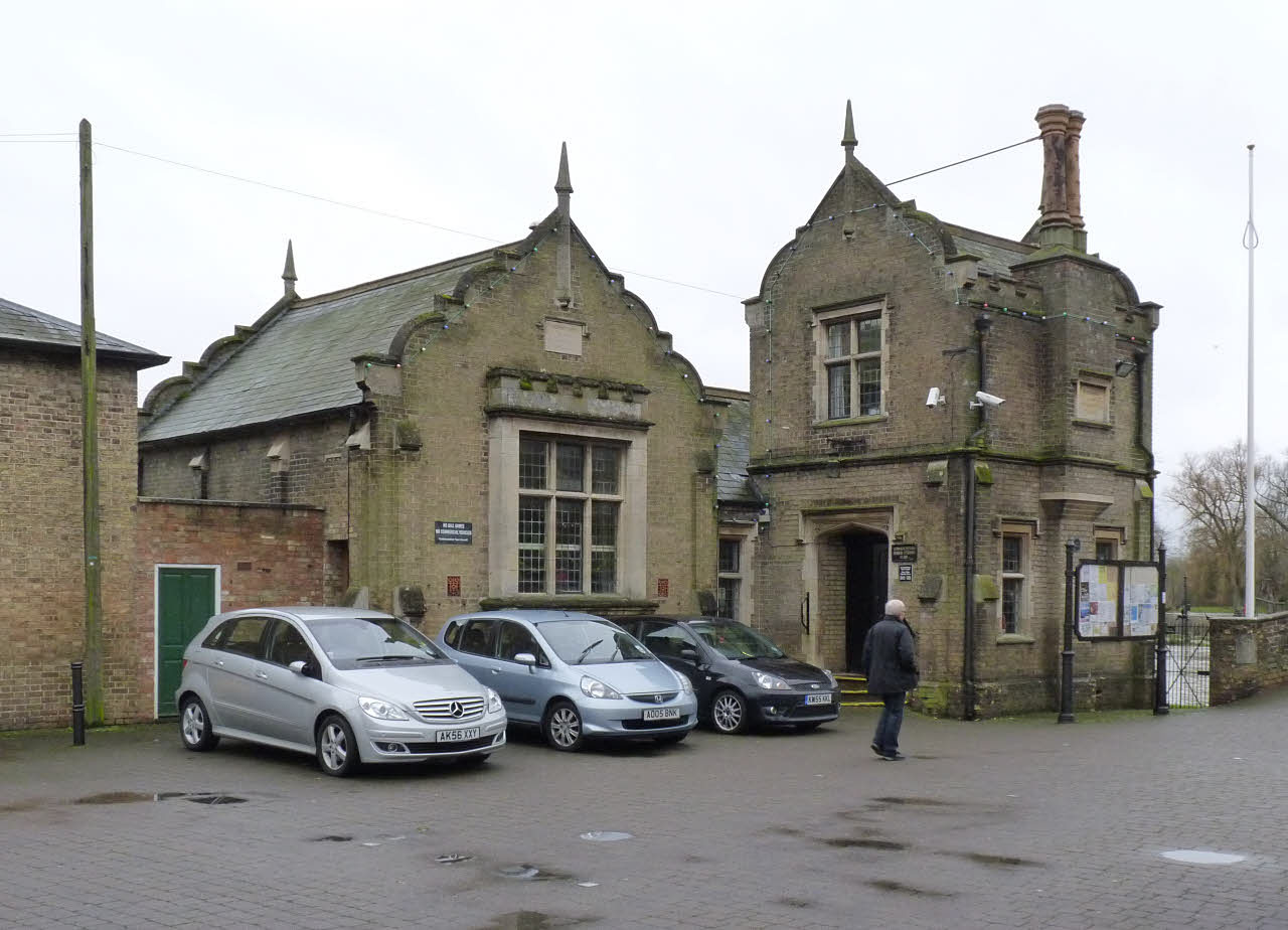
Dvrovigvtvm Images
Images are sourced within 2km of 52.318/-0.173 or Grid Reference TL2470. Thanks to Geograph Open Source API. All images are credited.


Dvrovigvtvm is located at Grid Ref: TL2470 (Lat: 52.318, Lng: -0.173)
Administrative County: Cambridgeshire
District: Huntingdonshire
Police Authority: Cambridgeshire
What 3 Words
///lungs.opposites.inflame. Near Godmanchester, Cambridgeshire
Nearby Locations
Related Wikis

Godmanchester
Godmanchester ( GOD-mən-ches-tər) is a town and civil parish in the Huntingdonshire district of Cambridgeshire, England. It is separated from Huntingdon...

Huntingdon and Godmanchester
Huntingdon and Godmanchester was a municipal borough in Huntingdonshire (and then Huntingdon and Peterborough) from 1961 to 1974.It was formed on 1 April...
Godmanchester Town Hall
Godmanchester Town Hall is a municipal building in The Causeway, Godmanchester, Cambridgeshire, England. The town hall, which was the meeting place of...
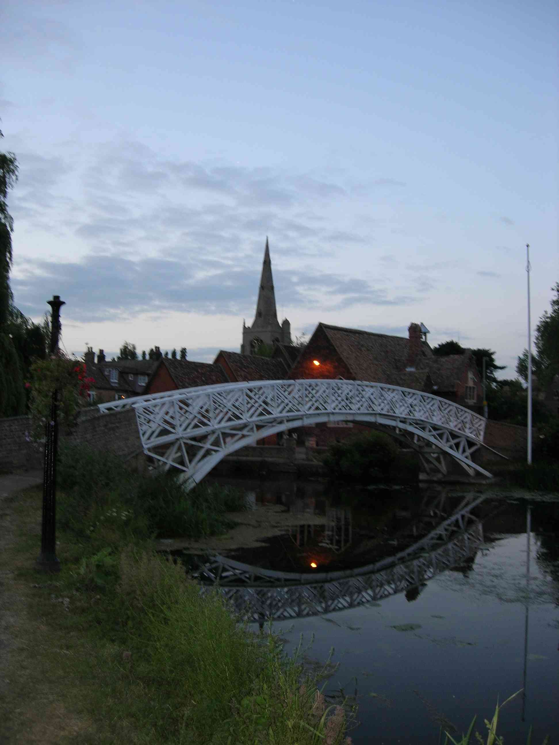
Godmanchester Chinese Bridge
Godmanchester Chinese Bridge is a Grade II Listed building and landmark of the town of Godmanchester, Huntingdonshire (now administered as part of Cambridgeshire...
Nearby Amenities
Located within 500m of 52.318,-0.173Have you been to Dvrovigvtvm?
Leave your review of Dvrovigvtvm below (or comments, questions and feedback).