Godmanchester
Settlement in Huntingdonshire Huntingdonshire
England
Godmanchester
Godmanchester is a historic town located in the county of Huntingdonshire, England. Situated on the southern bank of the River Great Ouse, it is positioned just south of the town of Huntingdon. With a population of around 6,800 residents, Godmanchester is a small but vibrant community.
The town boasts a rich history that dates back to Roman times. It was originally a Roman fort known as Durovigutum, and remnants of this ancient past can still be seen in the form of the Roman wall, which encircles a part of the town. Godmanchester's strategic location on the river allowed it to flourish as a trading post and market town throughout the centuries.
Today, Godmanchester retains much of its historical charm. Its picturesque streets are lined with a mix of period buildings, including thatched cottages and Georgian townhouses. The town center offers a range of amenities, including local shops, cafes, and pubs, catering to both residents and visitors alike.
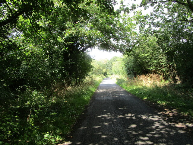
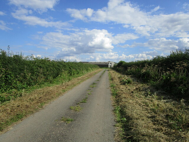
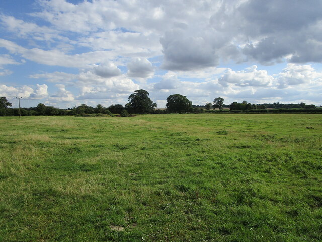
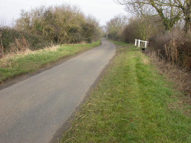
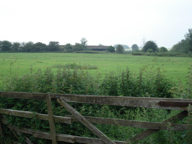
Nature lovers are drawn to Godmanchester's beautiful surroundings, with ample green spaces and scenic walks along the riverbank. The nearby Portholme Meadow, a large floodplain, is reputed to be the largest meadow in England. It provides a haven for wildlife and attracts visitors throughout the year.
In summary, Godmanchester is a small yet historically significant town nestled along the River Great Ouse. Its rich heritage, combined with its picturesque setting and community spirit, make it an attractive destination for both locals and tourists seeking a taste of traditional English charm.
If you have any feedback on the listing, please let us know in the comments section below.
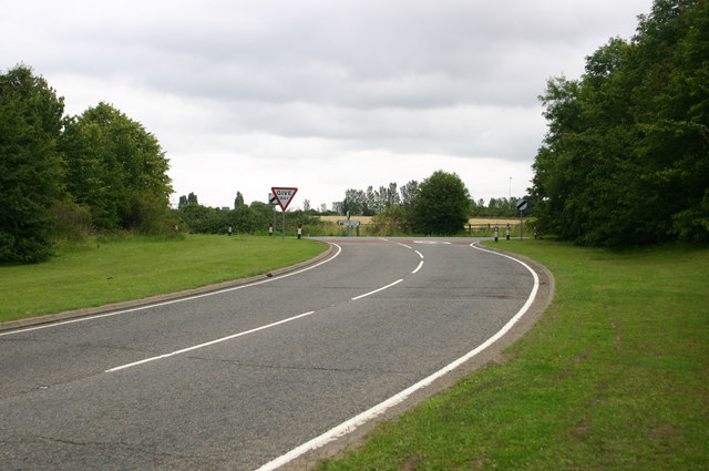
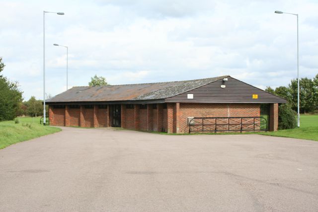
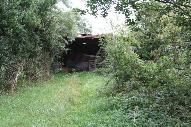
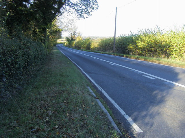
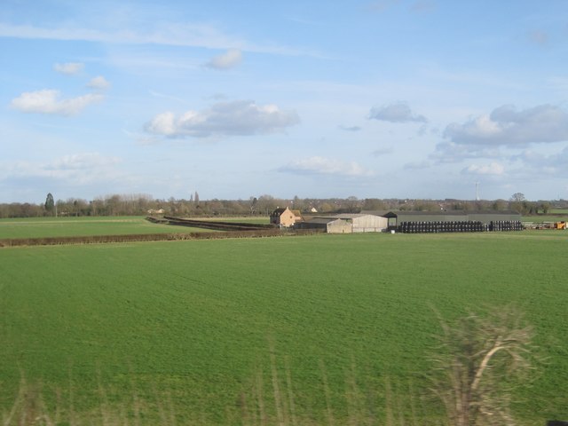
Godmanchester Images
Images are sourced within 2km of 52.319294/-0.174978 or Grid Reference TL2470. Thanks to Geograph Open Source API. All images are credited.
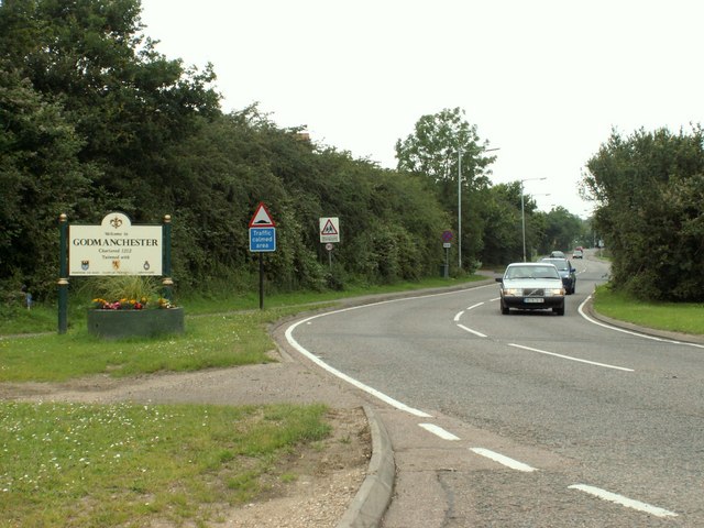


Godmanchester is located at Grid Ref: TL2470 (Lat: 52.319294, Lng: -0.174978)
Administrative County: Cambridgeshire
District: Huntingdonshire
Police Authority: Cambridgeshire
What 3 Words
///grow.townhouse.complains. Near Godmanchester, Cambridgeshire
Nearby Locations
Related Wikis

Huntingdon and Godmanchester
Huntingdon and Godmanchester was a municipal borough in Huntingdonshire (and then Huntingdon and Peterborough) from 1961 to 1974.It was formed on 1 April...
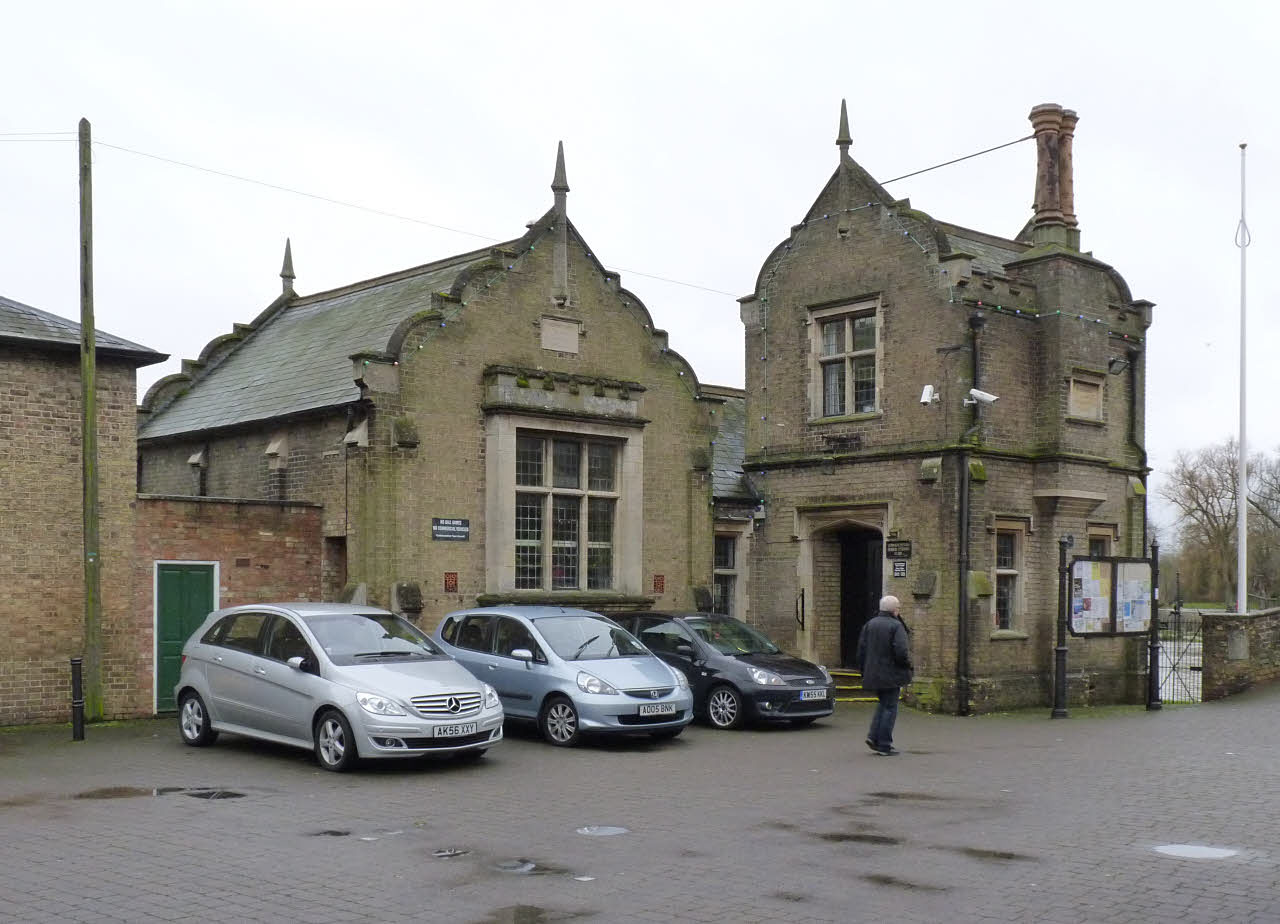
Godmanchester Town Hall
Godmanchester Town Hall is a municipal building in The Causeway, Godmanchester, Cambridgeshire, England. The town hall, which was the meeting place of...
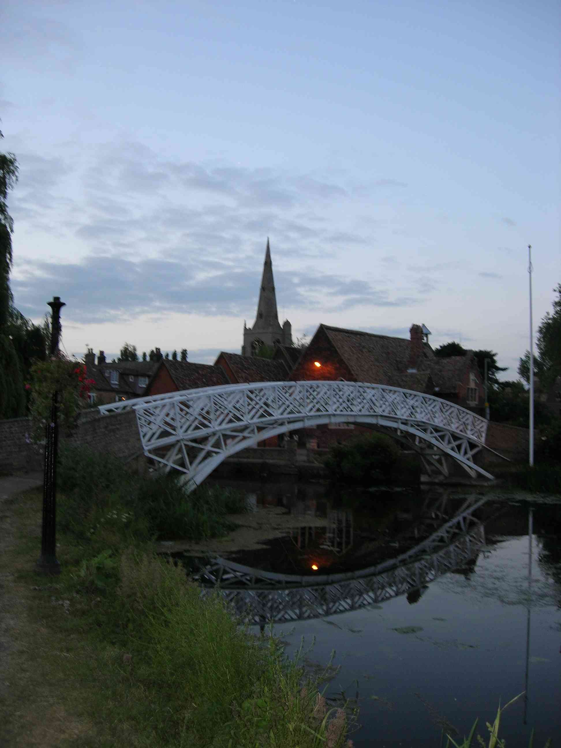
Godmanchester Chinese Bridge
Godmanchester Chinese Bridge is a Grade II Listed building and landmark of the town of Godmanchester, Huntingdonshire (now administered as part of Cambridgeshire...

Church of St Mary the Virgin, Godmanchester
The Church of St Mary the Virgin is a Church of England parish church in Godmanchester, Cambridgeshire. The church is a grade I listed building with its...
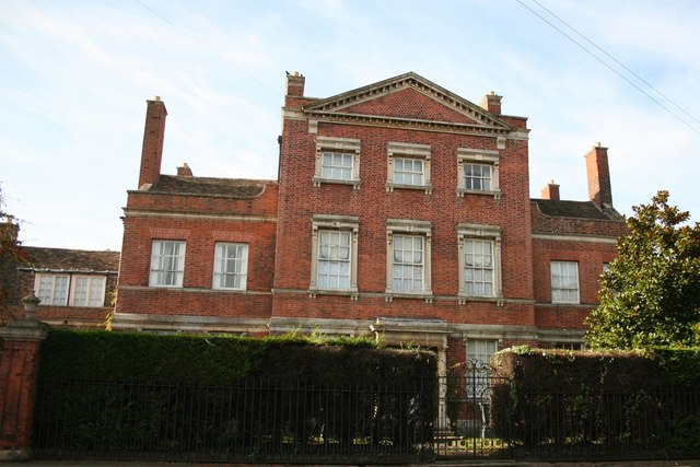
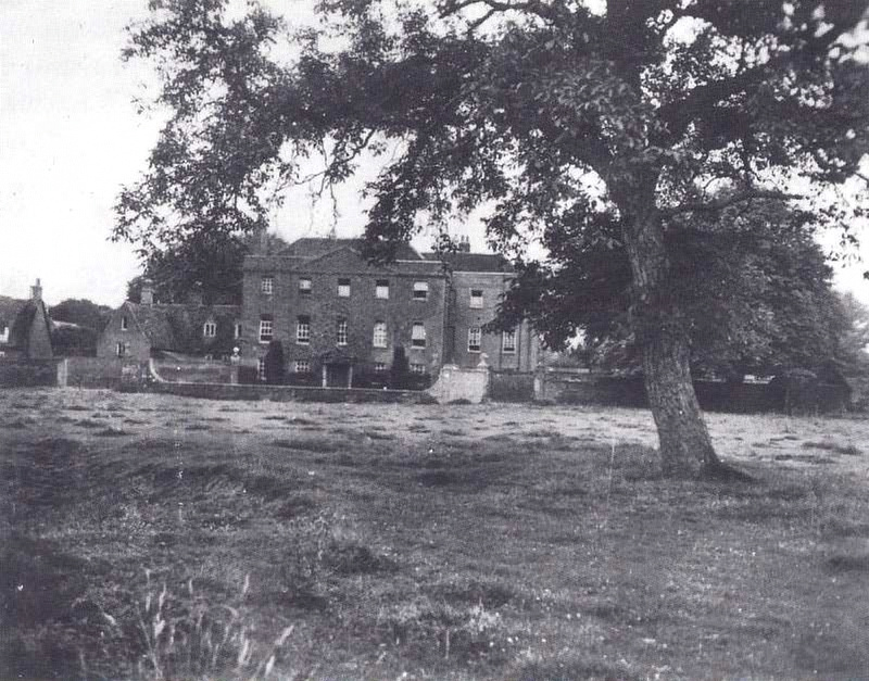
Island Hall
Island Hall is a Grade II* listed Georgian mansion located near the River Great Ouse in Godmanchester, Cambridgeshire, England. == History == Named after...

Godmanchester
Godmanchester ( GOD-mən-ches-tər) is a town and civil parish in the Huntingdonshire district of Cambridgeshire, England. It is separated from Huntingdon...
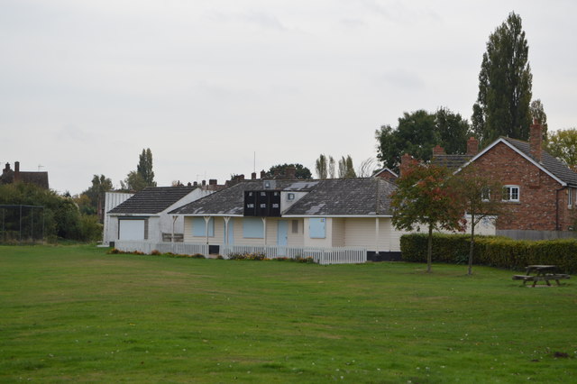
The Parks, Godmanchester
The Parks is a cricket ground situated off Fox Grove, Godmanchester, Huntingdonshire. The ground is bordered to the north and south by residential housing...
Operation Epsilon
Operation Epsilon was the codename of a program in which Allied forces near the end of World War II detained ten German scientists who were thought to...
Related Videos

Huntingdon Town Centre, Huntingdonshire in Cambridgeshire A Walking Tour
24th April 2022 Unusually quiet town centre on a sunday morning.


Nearby Amenities
Located within 500m of 52.319294,-0.174978Have you been to Godmanchester?
Leave your review of Godmanchester below (or comments, questions and feedback).