Dvrobrivae

Heritage Site in Huntingdonshire

England

Dvrobrivae

Splash Lane Car Park Free car park for access to Nene Park's Rural Estate. At the end of a heavily potholed  lane, and not well advertised. But very useful.
Splash Lane Car Park Credit: Tim Heaton

The requested URL returned error: 429 Too Many Requests

If you have any feedback on the listing, please let us know in the comments section below.
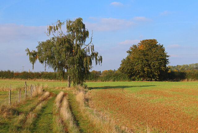
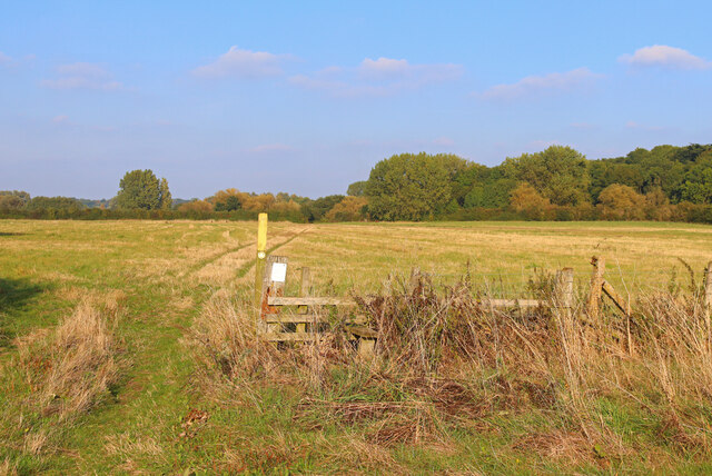
Dvrobrivae Images

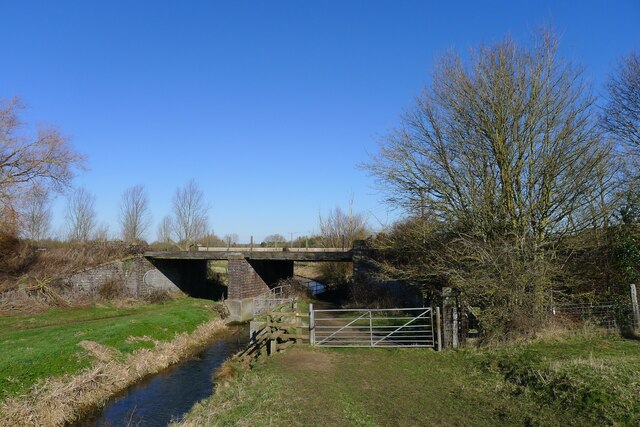
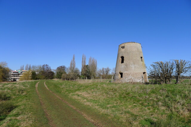
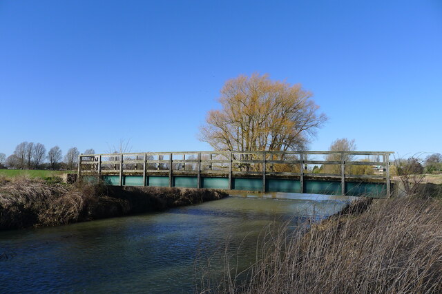
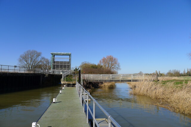
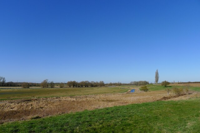
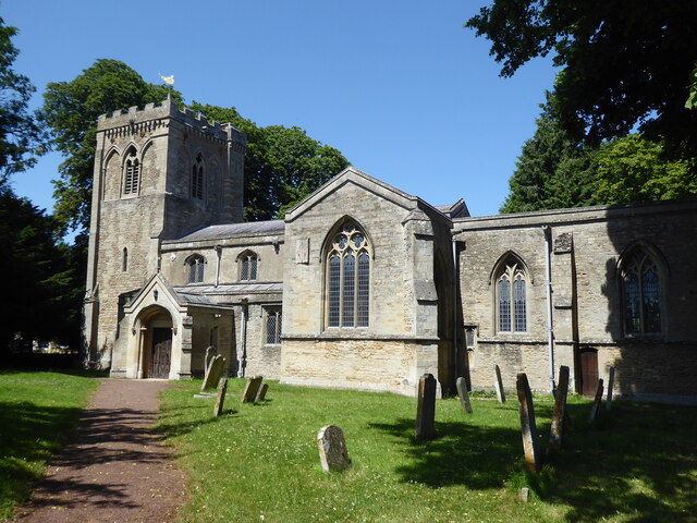
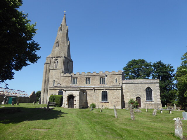
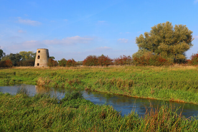
Images are sourced within 2km of 52.553/-0.34 or Grid Reference TL1296. Thanks to Geograph Open Source API. All images are credited.

Splash Lane Car Park Free car park for access to Nene Park's Rural Estate. At the end of a heavily potholed  lane, and not well advertised. But very useful.
Splash Lane Car Park
Free car park for access to Nene Park's Rural Estate. At the end of a heavily potholed lane, and not well advertised. But very useful.
Footpath across 'The Splash' Starting out along the edge of Nene Park's Rural Estate, and the flood plain of the River Nene.
Footpath across 'The Splash'
Starting out along the edge of Nene Park's Rural Estate, and the flood plain of the River Nene.
The Nene Valley Railway line crossing Splash Dike "Nene Valley Railway is the UK’s leading international steam attraction ... " <span class="nowrap"><a title="https://www.nvr.org.uk/" rel="nofollow ugc noopener" href="https://www.nvr.org.uk/">Link</a><img style="margin-left:2px;" alt="External link" title="External link - shift click to open in new window" src="https://s1.geograph.org.uk/img/external.png" width="10" height="10"/></span>
The Nene Valley Railway line crossing Splash Dike
"Nene Valley Railway is the UK’s leading international steam attraction ... " LinkExternal link
Castor Mills A mid 19th century tower windmill and, behind left, an early 19th century water mill undergoing restoration  <span class="nowrap"><a title="https://historicengland.org.uk/listing/the-list/list-entry/1162635" rel="nofollow ugc noopener" href="https://historicengland.org.uk/listing/the-list/list-entry/1162635">Link</a><img style="margin-left:2px;" alt="External link" title="External link - shift click to open in new window" src="https://s1.geograph.org.uk/img/external.png" width="10" height="10"/></span>
Castor Mills
A mid 19th century tower windmill and, behind left, an early 19th century water mill undergoing restoration LinkExternal link
The Hereward Way crossing Back Dike The dike is a short, separate course of the Nene supplying Castor Mill. The small area of land to the left of the bridge, essentially an island between two courses of the river, is Nene Park's 'East Holmes' (see description for <a href="https://www.geograph.org.uk/photo/7110621">TL1097 : Footpath along West Holmes</a>)
The Hereward Way crossing Back Dike
The dike is a short, separate course of the Nene supplying Castor Mill. The small area of land to the left of the bridge, essentially an island between two courses of the river, is Nene Park's 'East Holmes' (see description for TL1097 : Footpath along West Holmes)
Alwalton Lock A common lock type on the Nene: a steel guillotine lock gate on the downstream side, and 'conventional' double 'V door', wooden gates upstream.
Alwalton Lock
A common lock type on the Nene: a steel guillotine lock gate on the downstream side, and 'conventional' double 'V door', wooden gates upstream.
The Nene flood plain west of Peterborough The Roman garrison town of Durobrivae used to sit on the far bank of the Nene, behind the line of trees  <span class="nowrap"><a title="https://en.wikipedia.org/wiki/Durobrivae_(Water_Newton)" rel="nofollow ugc noopener" href="https://en.wikipedia.org/wiki/Durobrivae_(Water_Newton)">Link</a><img style="margin-left:2px;" alt="External link" title="External link - shift click to open in new window" src="https://s1.geograph.org.uk/img/external.png" width="10" height="10"/></span>
The Nene flood plain west of Peterborough
The Roman garrison town of Durobrivae used to sit on the far bank of the Nene, behind the line of trees LinkExternal link
The Hereward Way by the River Nene Hereward Way is a long-distance footpath that links the Viking Way at Oakham with the Peddars Way at Knettishall Heath, near Thetford.
The path takes its name after Hereward the Wake, the 11th century leader who fought against William the Conqueror, and had his base on the Isle of Ely that is located near the middle part of the path.
The Hereward Way by the River Nene
Hereward Way is a long-distance footpath that links the Viking Way at Oakham with the Peddars Way at Knettishall Heath, near Thetford. The path takes its name after Hereward the Wake, the 11th century leader who fought against William the Conqueror, and had his base on the Isle of Ely that is located near the middle part of the path.
Site of former Roman bridge across the Nene? The Roman road Ermine Street is believed to have crossed the River Nene at about this point, and run in to the small town of Durobrivae (=‘settlement/fort by the river crossing/bridges’) on the opposite bank <span class="nowrap"><a title="https://www.nenevalleyarchaeology.co.uk/durobrivae-1" rel="nofollow ugc noopener" href="https://www.nenevalleyarchaeology.co.uk/durobrivae-1">Link</a><img style="margin-left:2px;" alt="External link" title="External link - shift click to open in new window" src="https://s1.geograph.org.uk/img/external.png" width="10" height="10"/></span>
Site of former Roman bridge across the Nene?
The Roman road Ermine Street is believed to have crossed the River Nene at about this point, and run in to the small town of Durobrivae (=‘settlement/fort by the river crossing/bridges’) on the opposite bank LinkExternal link
The Nene Valley Railway For a history of Steam Locomotive '34081 92 Squadron' see <span class="nowrap"><a title="https://preservedbritishsteamlocomotives.com/34081-92-squadron/" rel="nofollow ugc noopener" href="https://preservedbritishsteamlocomotives.com/34081-92-squadron/">Link</a><img style="margin-left:2px;" alt="External link" title="External link - shift click to open in new window" src="https://s1.geograph.org.uk/img/external.png" width="10" height="10"/></span>
The Nene Valley Railway
For a history of Steam Locomotive '34081 92 Squadron' see LinkExternal link
Water Newton Mill on the River Nene The footpath into the village, from across the Nene, runs in front of the  mill
Water Newton Mill on the River Nene
The footpath into the village, from across the Nene, runs in front of the mill
Track along Splash Dike The Nene Way joins from the right, and a path into Castor crosses the dike on the left. This track along Splash Dike is shown as a bridleway on the Nene Park map
Track along Splash Dike
The Nene Way joins from the right, and a path into Castor crosses the dike on the left. This track along Splash Dike is shown as a bridleway on the Nene Park map
Alwalton, St Andrew
Alwalton, St Andrew
Chesterton, St Michael
Former Windmill Windmill near Castor on the River Nene.
Former Windmill
Windmill near Castor on the River Nene.
Footpath near the River Nene Sharp turn in the path near Castor.
Footpath near the River Nene
Sharp turn in the path near Castor.
River Nene Footpath Footpath along the edge of the Nene.
River Nene Footpath
Footpath along the edge of the Nene.
Nene Way Footpath near Castor.
Nene Way
Footpath near Castor.
Show me another place!

Dvrobrivae is located at Grid Ref: TL1296 (Lat: 52.553, Lng: -0.34)

What 3 Words

///decking.shadow.betraying. Near Castor, Cambridgeshire

Nearby Locations

Dvrobrivae

Related Wikis

Alwalton

Alwalton is a village and civil parish in Cambridgeshire, England. Alwalton lies approximately 5 miles (8 km) west of Peterborough city centre. Alwalton...

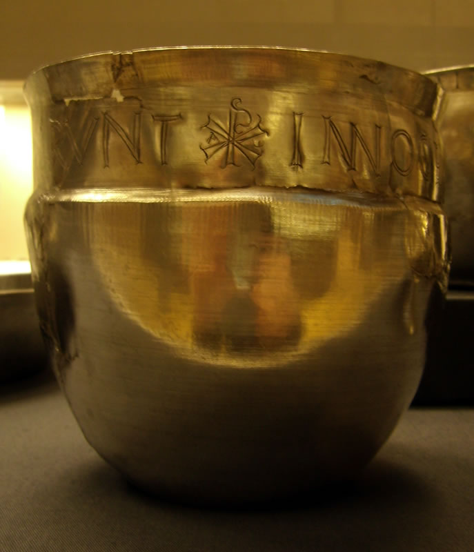
Durobrivae (Water Newton)

Durobrivae was a Roman fortified garrison town located at Water Newton in the English county of Cambridgeshire, where Ermine Street crossed the River Nene...

Castor Flood Meadows

Castor Flood Meadows is a 41.8-hectare (103-acre) biological Site of Special Scientific Interest on the western outskirts of Peterborough in Cambridgeshire...

Greatest Hits Radio South

Greatest Hits Radio South is a regional radio station serving the South of England, as part of Bauer’s Greatest Hits Radio network. == Coverage == The...

Nearby Amenities

Located within 500m of 52.553,-0.34
Created By: Merkaartor 0.12
Lat/Long: 52.555248/-0.3442859
Created By: Merkaartor 0.12
Lat/Long: 52.5551419/-0.343824
Created By: Merkaartor 0.12
Lat/Long: 52.5549984/-0.34343
Parking
Access: yes
Created By: Merkaartor 0.12
Fee: no
Parking: street_side
Source: survey
Lat/Long: 52.5547831/-0.3429686
Created By: Merkaartor 0.12
Lat/Long: 52.5543852/-0.3423142
Waterway: lock_gate
Lat/Long: 52.5529166/-0.3344215
Waterway: lock_gate
Lat/Long: 52.5530451/-0.3348092
Leisure: slipway
Lat/Long: 52.5538699/-0.3381647
The data included in this document is from www.openstreetmap.org. The data is made available under ODbL.

Have you been to Dvrobrivae ?

Leave your review of Dvrobrivae below (or comments, questions and feedback).